Plizio Visual Lab
Turpan Depression
Weather…
Water temperature…
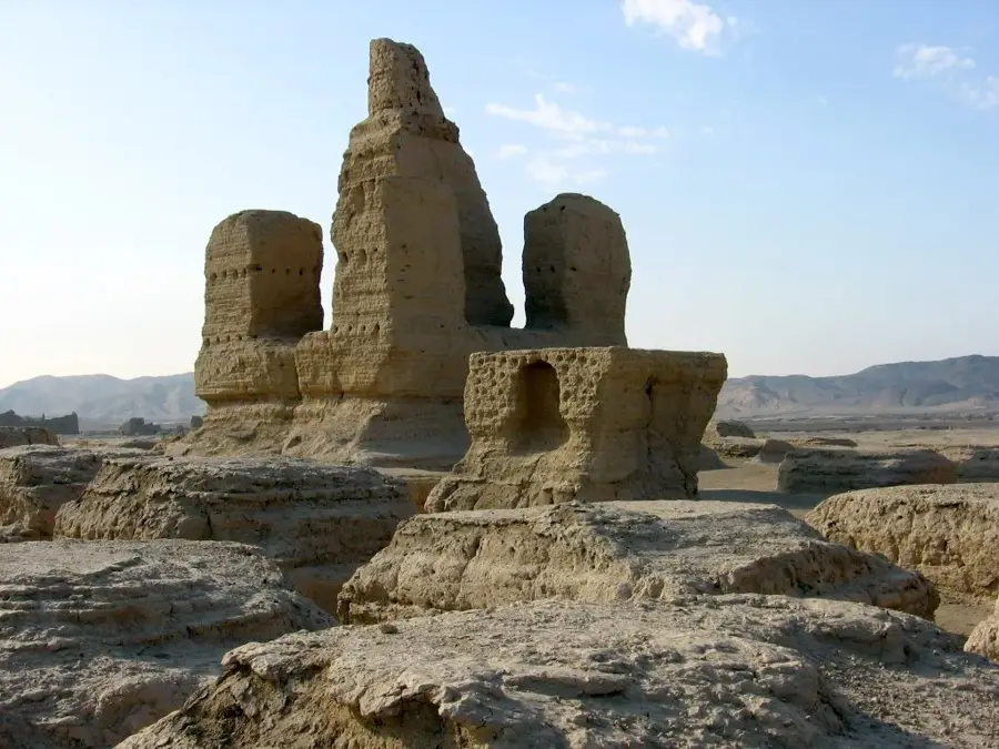
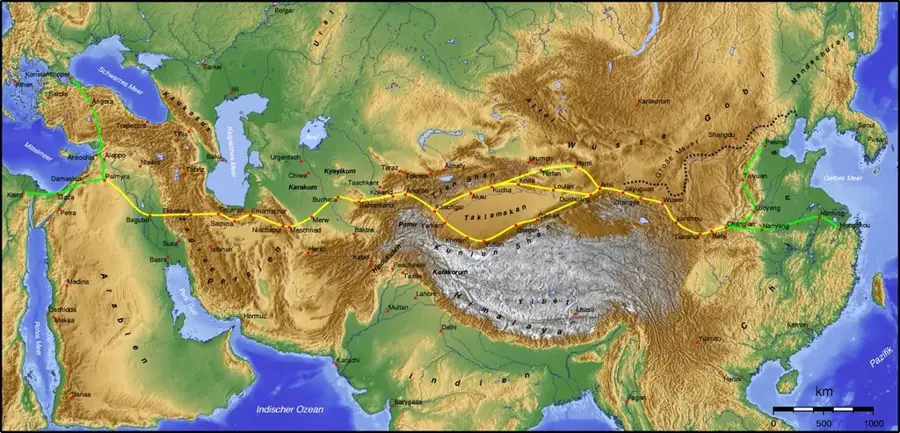
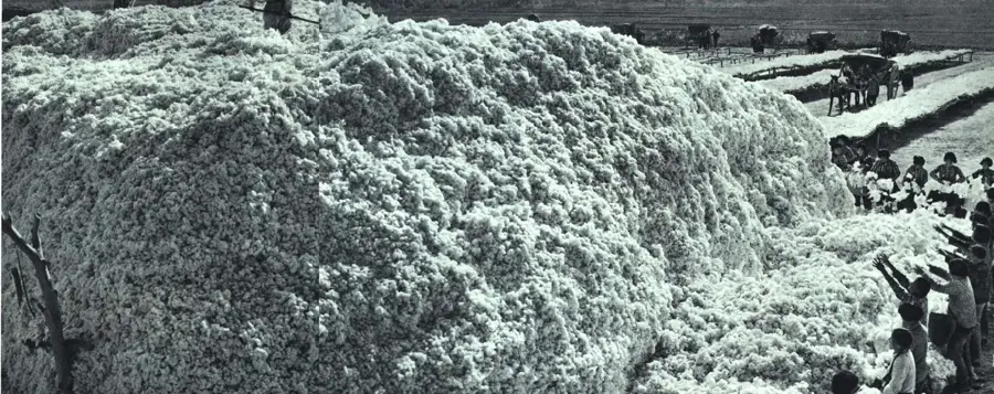
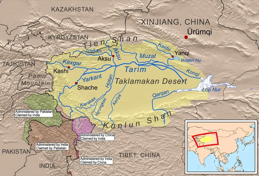
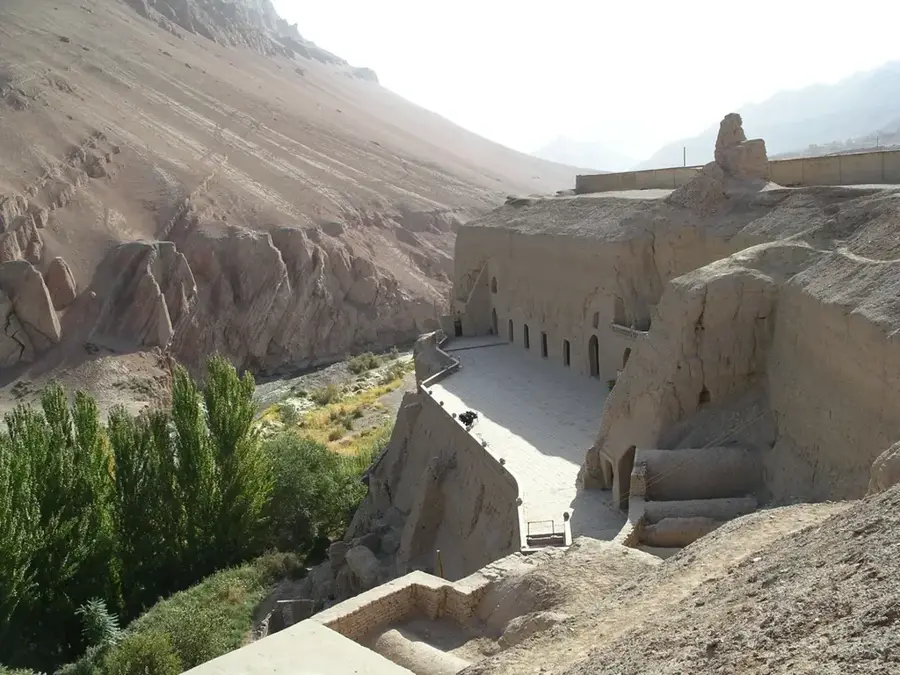
The Turpan Depression in Xinjiang is China's lowest point, reaching 154.5 meters below sea level at the shores of Lake Ayding. This fault-bounded interior basin is situated in the eastern spurs of the Tian Shan mountains and experiences some of the most extreme temperatures on Earth, often exceeding 50 degrees Celsius in summer. Historically, it was a critical oasis on the Silk Road, preserving ancient ruins such as the garrison cities of Gaochang and Jiaohe. The region is famous for its Karez irrigation system, an ancient network of horizontal wells and underground canals that channel snowmelt from the mountains to sustain agriculture. This infrastructure allowed the depression to become a center for grape and cotton production despite its hyper-arid climate. The landscape is also defined by the Flaming Mountains, where red sandstone erosion patterns resemble tongues of fire under the intense desert sun.
- Location: China
- Top sights: Karez · Grape Valley · emin minaret
Best time to visit & climate
The most pleasant time to visit is Apr, May, Sep.
| Jan | Feb | Mar | Apr | May | Jun | Jul | Aug | Sep | Oct | Nov | Dec | |
|---|---|---|---|---|---|---|---|---|---|---|---|---|
| Avg °C | -6 | -1 | 8 | 16 | 23 | 29 | 31 | 30 | 23 | 14 | 4 | -4 |
| Rain mm | 4 | 5 | 5 | 11 | 13 | 14 | 16 | 13 | 8 | 7 | 8 | 6 |
📋 Practical info
Geography
Facts
- Lowest point in China at Ayding Lake, 154.5 meters below sea level.
- Surface temperatures on the Flaming Mountains can reach 70°C.
- The Karez irrigation system consists of over 5,000 km of canals.
- Gaochang ruins date back to the 1st century BC as a trading hub.
- The depression covers a total area of approximately 50,000 sq km.
- Turpan is renowned for its high-quality green seedless raisins.
Explore nearby
Notable places around
Route planner — Car & Motorhome
Where do you start? We build the route here, with stops and country notes along the way.
© OpenStreetMap contributors · OpenRouteService
Sights in the town Turpan Depression (5)
Sights nearby
Frequently asked questions
What is the Turpan Depression known for?
How is irrigation done there?
What are the 'Flaming Mountains'?
When is the Grape Festival?
Can the ancient ruins be visited?
Turpan Depression: where is it located?
Turpan Depression: what is there to see?
Turpan Depression: when is the best time to visit?
Turpan Depression: why is it worth visiting?

Nearby cities

Nature
More places