Plizio Visual Lab
Tiris Plain
Weather…
Water temperature…
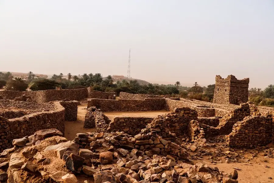
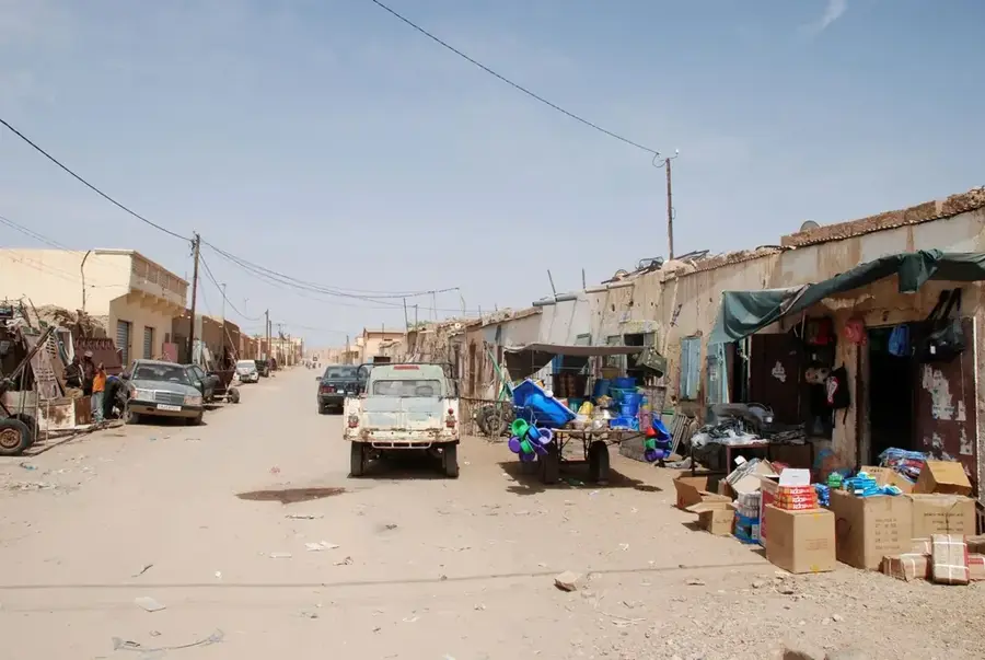
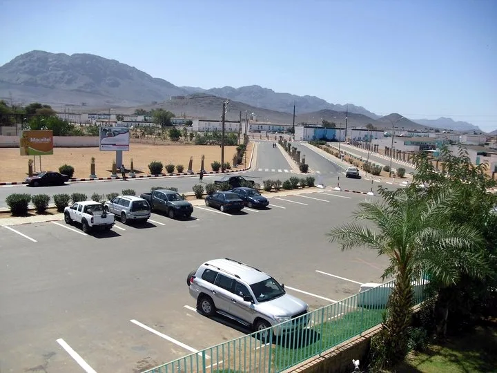
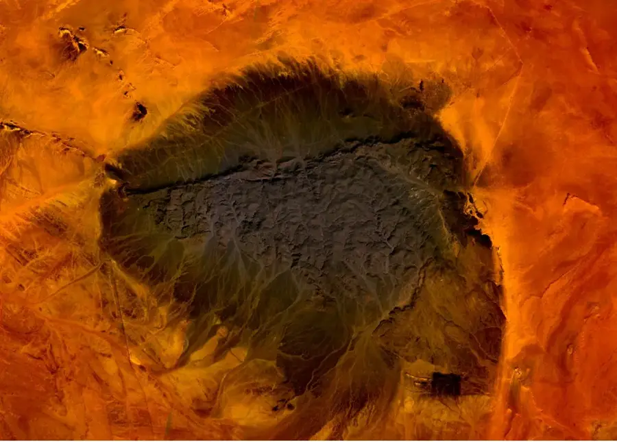
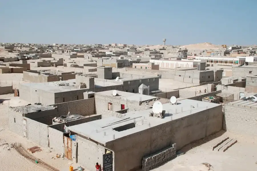
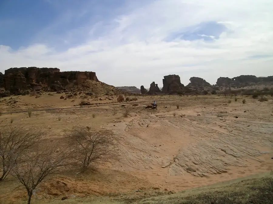
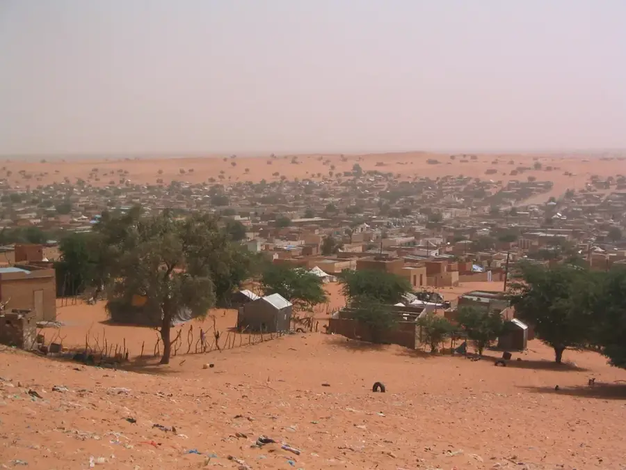
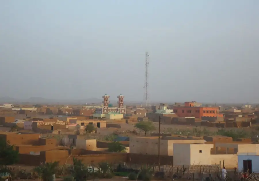
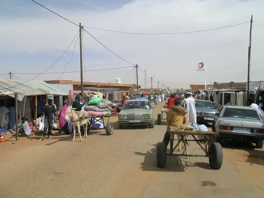
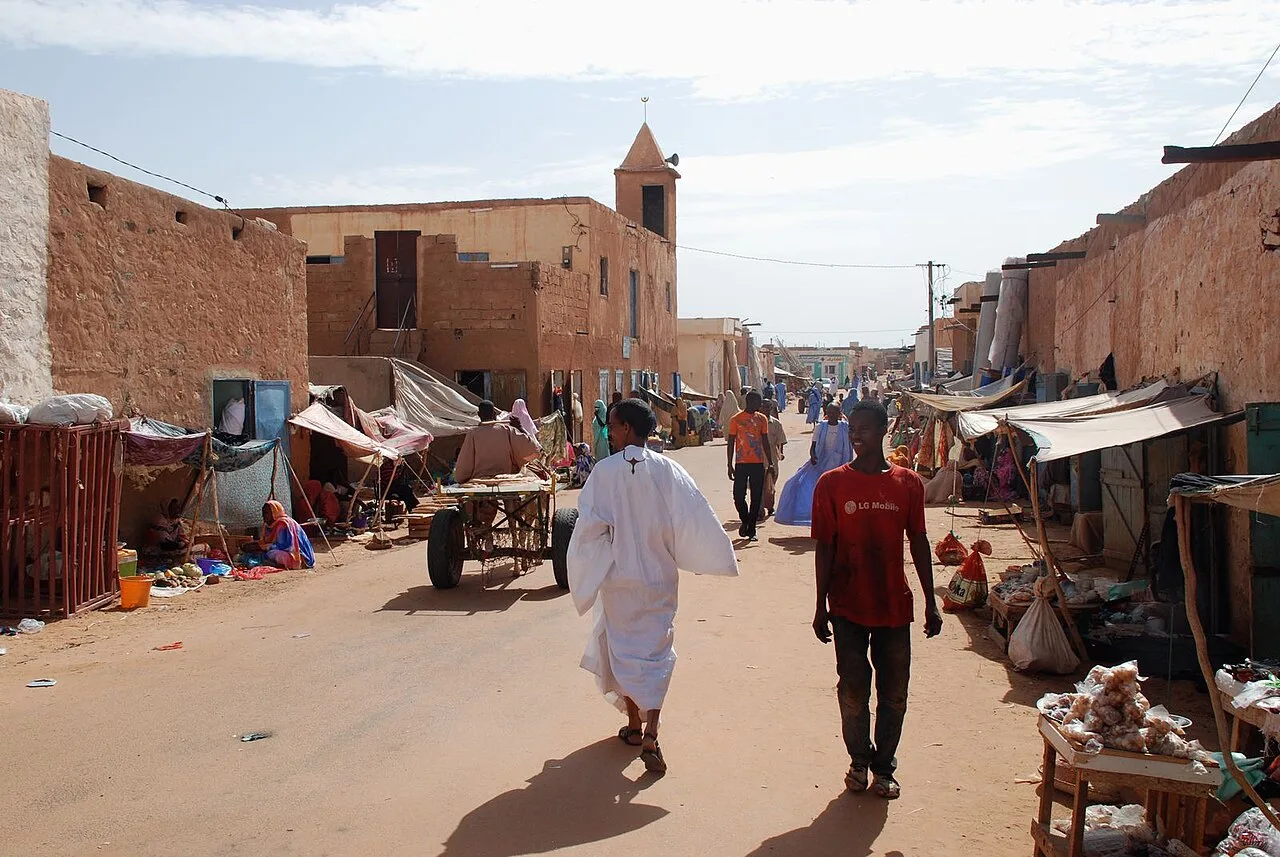
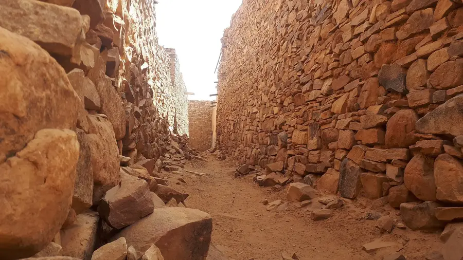
The Tiris Plain spans a vast area of northern Mauritania, representing one of the most desolate yet geographically fascinating parts of the Sahara. This immense landscape is classified as a 'reg,' a stone desert characterized by its remarkably flat surface covered in dark gravel and rock fragments. Occasionally, isolated rocky outcrops known as inselbergs rise from the plain, serving as the only landmarks in an otherwise featureless horizon. Historically, the Tiris region was a vital corridor for nomadic Sahrawi tribes and trans-Saharan caravans that navigated between the rare oases and wells. Today, its economic importance is tied to the iron ore mines of nearby Zouérat, which are among the largest in the world. For travelers, the Tiris Plain features an experience of profound silence and infinite space, where the clear desert air allows for visibility across dozens of kilometers. The environment is hyper-arid, with scorching daytime temperatures that can drop to near freezing once the sun sets over the vast, stony expanse.
Best time to visit & climate
The most pleasant time to visit is Feb, Mar, Nov.
| Jan | Feb | Mar | Apr | May | Jun | Jul | Aug | Sep | Oct | Nov | Dec | |
|---|---|---|---|---|---|---|---|---|---|---|---|---|
| Avg °C | 15 | 18 | 21 | 25 | 28 | 31 | 34 | 34 | 32 | 28 | 21 | 17 |
| Rain mm | 2 | 1 | 1 | 0 | 1 | 2 | 1 | 8 | 10 | 13 | 1 | 2 |
📋 Practical info
Geography
Facts
- The plain is named after the Tiris Zemmour administrative region.
- Kediet ej Jill, the highest mountain in Mauritania, is located nearby.
- Iron ore has been mined here on an industrial scale since 1963.
- The Zouérat-Nouadhibou railway line traverses parts of this region.
- Annual rainfall in the plain rarely exceeds 50 millimeters.
- The area features many 'Guelbs', which are isolated inselbergs of hard rock.
Route planner — Car & Motorhome
Where do you start? We build the route here, with stops and country notes along the way.
© OpenStreetMap contributors · OpenRouteService
Sights in the town Tiris Plain (1)
Sights nearby
Frequently asked questions
How difficult is a tour through the Tiris Plain?
When is the best time to visit?
Is there any tourist infrastructure there?
Is the area safe for tourists?
Is a permit required for visiting?
Tiris Plain: where is it located?
Tiris Plain: when is the best time to visit?
Tiris Plain: why is it worth visiting?

Nearby cities


History & landmarks


More places