Plizio Visual Lab
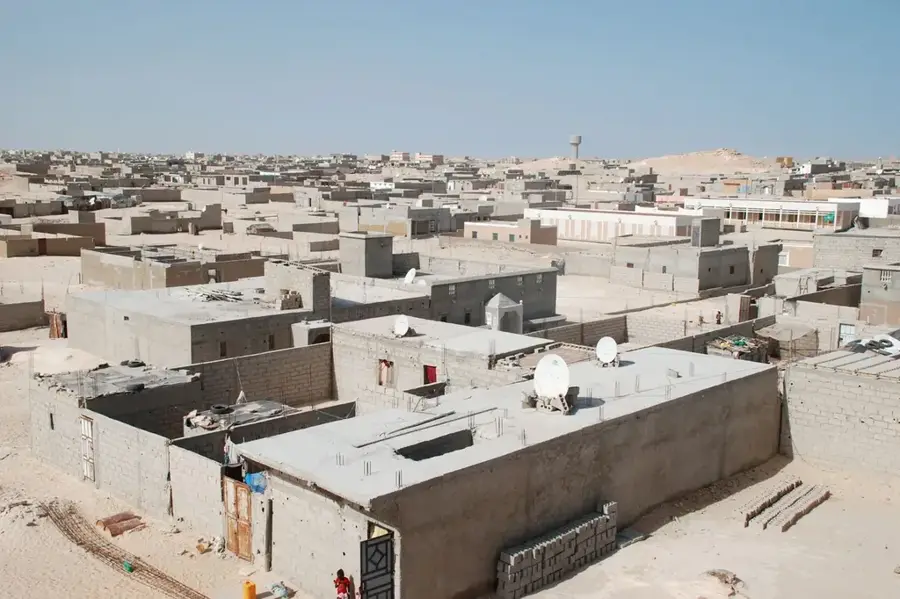
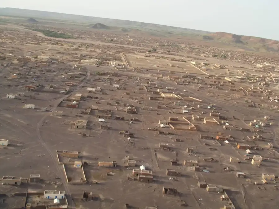
Tiris Zemmour Plateau
Weather…
Water temperature…
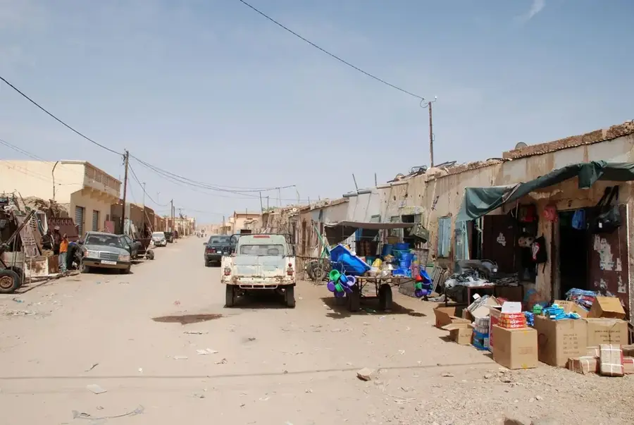
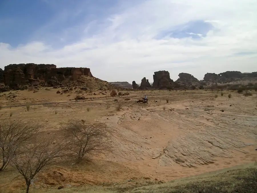
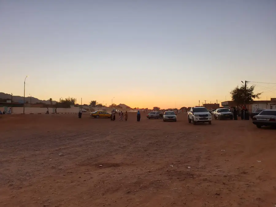
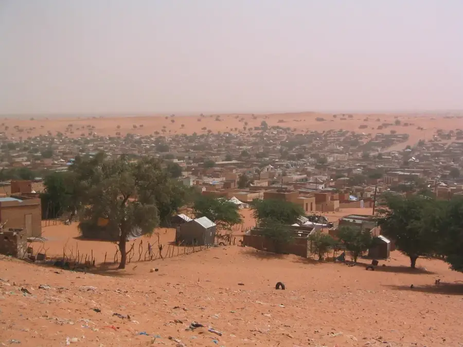
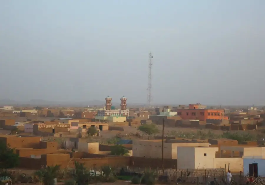
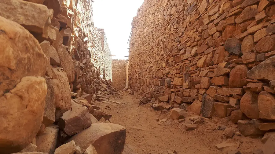
The Tiris Zemmour Plateau in the far north of Mauritania is one of the most isolated and geologically striking regions of the Sahara Desert. This rocky highland spans a vast area characterized by extreme aridity and a near-total absence of permanent vegetation. The landscape is a stark mosaic of dark rock formations, sharp-edged mesas, and expansive gravel plains (regs) that create a truly otherworldly environment. Despite its barren surface, the plateau is of immense strategic importance due to its massive iron ore deposits, which are among the largest in the world. The climate here is unforgiving, featuring intense heat during the day and freezing temperatures at night. For those seeking the absolute silence and infinite vistas of the desert, the Tiris Zemmour Plateau gives a raw and unyielding beauty that feels entirely disconnected from the modern world.
Best time to visit & climate
The most pleasant time to visit is Feb, Mar, Nov.
| Jan | Feb | Mar | Apr | May | Jun | Jul | Aug | Sep | Oct | Nov | Dec | |
|---|---|---|---|---|---|---|---|---|---|---|---|---|
| Avg °C | 16 | 18 | 23 | 26 | 29 | 32 | 36 | 36 | 33 | 29 | 22 | 17 |
| Rain mm | 2 | 2 | 2 | 1 | 1 | 2 | 2 | 12 | 12 | 6 | 1 | 2 |
📋 Practical info
Geography
Facts
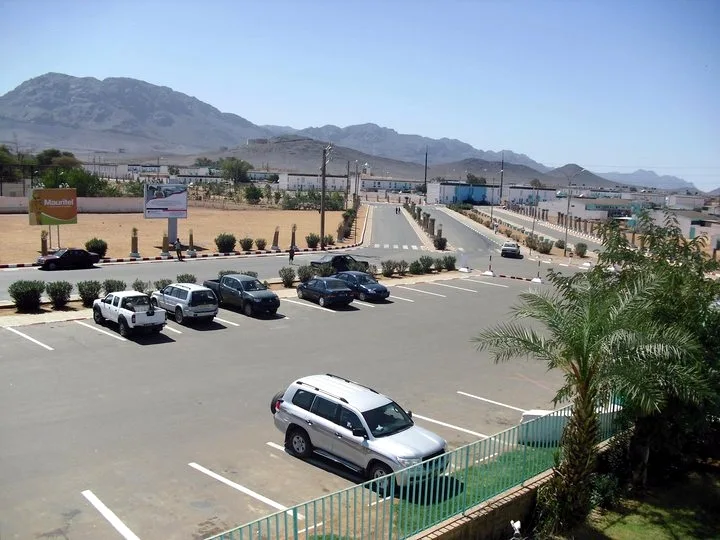
- Zouérat is the hub of Mauritania's vital iron ore mining industry.
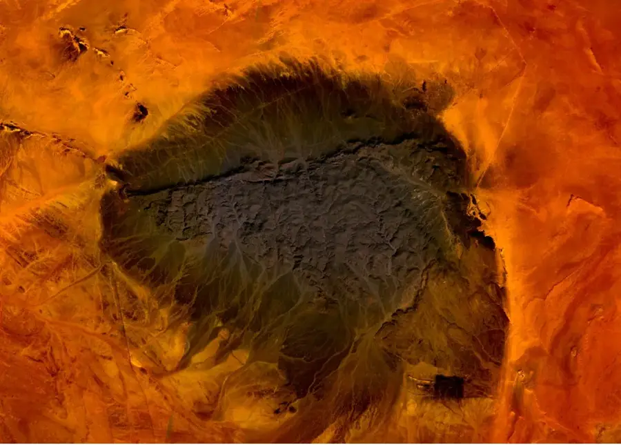
- The region lies near the famous 'Richat Structure' (Eye of the Sahara).
- It is home to the world's heaviest and longest iron ore train.
- Nighttime temperatures often drop to freezing during the winter months.
- Foum Tizigui is a prominent and rugged canyon within the plateau.
- Permanent vegetation is almost non-existent except around small rock pools.
Route planner — Car & Motorhome
Where do you start? We build the route here, with stops and country notes along the way.
© OpenStreetMap contributors · OpenRouteService
Sights nearby
Frequently asked questions
What is the Tiris Zemmour Plateau?
Is a photo trip worth it?
What are the temperatures like?
What is important during preparation?
Can you camp there alone?
Tiris Zemmour Plateau: where is it located?
Tiris Zemmour Plateau: when is the best time to visit?
Tiris Zemmour Plateau: why is it worth visiting?

Nearby cities


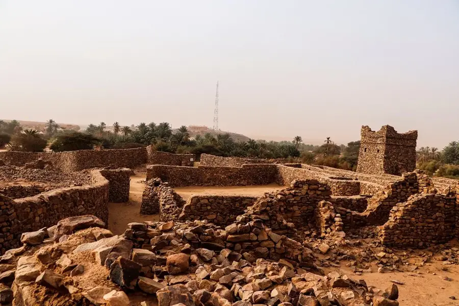
History & landmarks


More places