Plizio Visual Lab
Sebkha el Driaya

Weather…
Water temperature…
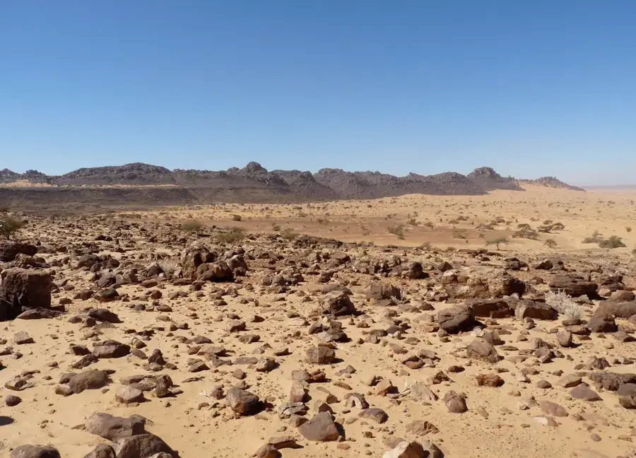
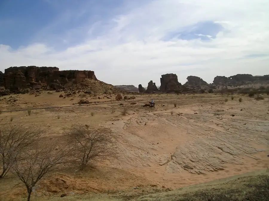
Sebkha el Driaya is a characteristic Mauritanian salt pan situated within an endorheic basin. This geological feature is formed through the intense evaporation of groundwater that rises close to the surface, leaving behind a hard, white crust of salt and minerals. During the dry season, the sebkha appears as a vast, shimmering expanse that is almost entirely devoid of vegetation due to the extreme salinity of the soil. When rare rainfall occurs, the basin can briefly transform into a shallow salt lake, replenishing the mineral deposits as the water evaporates once more. The mineral-rich ground makes it a point of interest for geological observation, though it remains a harsh environment for flora and fauna. For travelers, Sebkha el Driaya provides a surreal, minimalist landscape that perfectly illustrates the extreme environmental conditions and the stark, untouched beauty of Mauritania's desert regions.
Best time to visit & climate
The most pleasant time to visit is Feb, Mar, Dec.
| Jan | Feb | Mar | Apr | May | Jun | Jul | Aug | Sep | Oct | Nov | Dec | |
|---|---|---|---|---|---|---|---|---|---|---|---|---|
| Avg °C | 17 | 20 | 23 | 26 | 29 | 33 | 34 | 34 | 33 | 29 | 23 | 19 |
| Rain mm | 1 | 1 | 0 | 0 | 0 | 1 | 3 | 10 | 10 | 18 | 1 | 1 |
📋 Practical info
Geography
Facts
- Large salt flat (sebkha)
- Located in Tiris Zemmour
- Hard salt crust surface
- Formed by evaporation
- Vegetation-free wasteland
- Geological basin structure
Explore nearby
Notable places around
Route planner — Car & Motorhome
Where do you start? We build the route here, with stops and country notes along the way.
© OpenStreetMap contributors · OpenRouteService
Sights nearby
Frequently asked questions
What is a Sebkha?
Can one walk on it?
Is it known for tourism?
Are there signposts?
When is it best to visit?
Sebkha el Driaya: where is it located?
Sebkha el Driaya: when is the best time to visit?
Sebkha el Driaya: why is it worth visiting?

Nearby cities


History & landmarks


Nature
More places