Plizio Visual Lab
Azougui Fort Remains

Weather…
Water temperature…
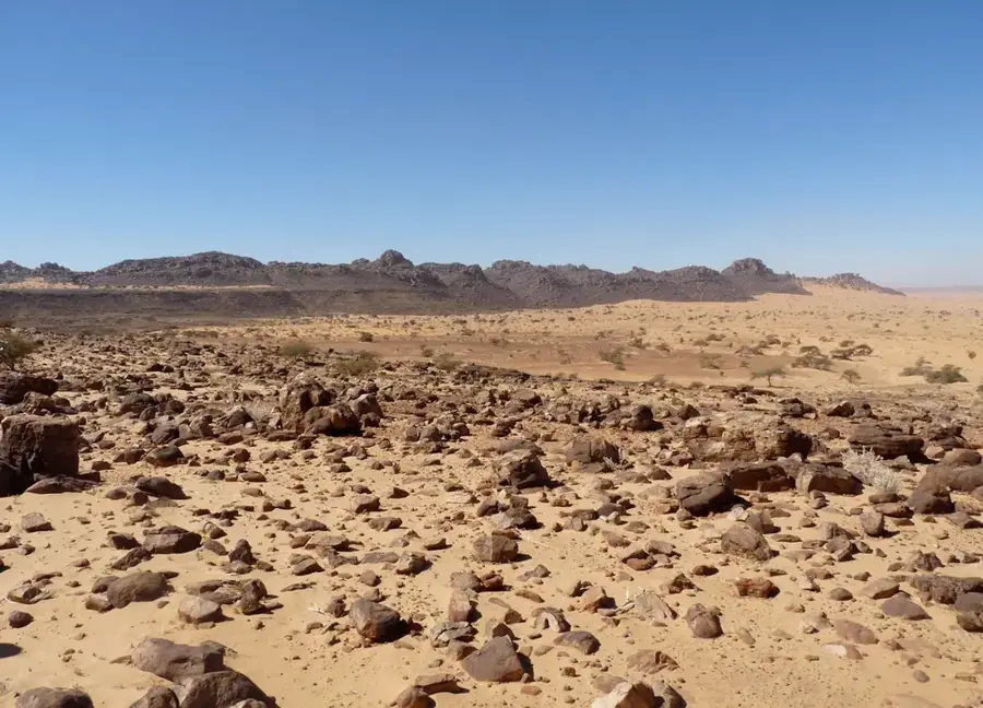
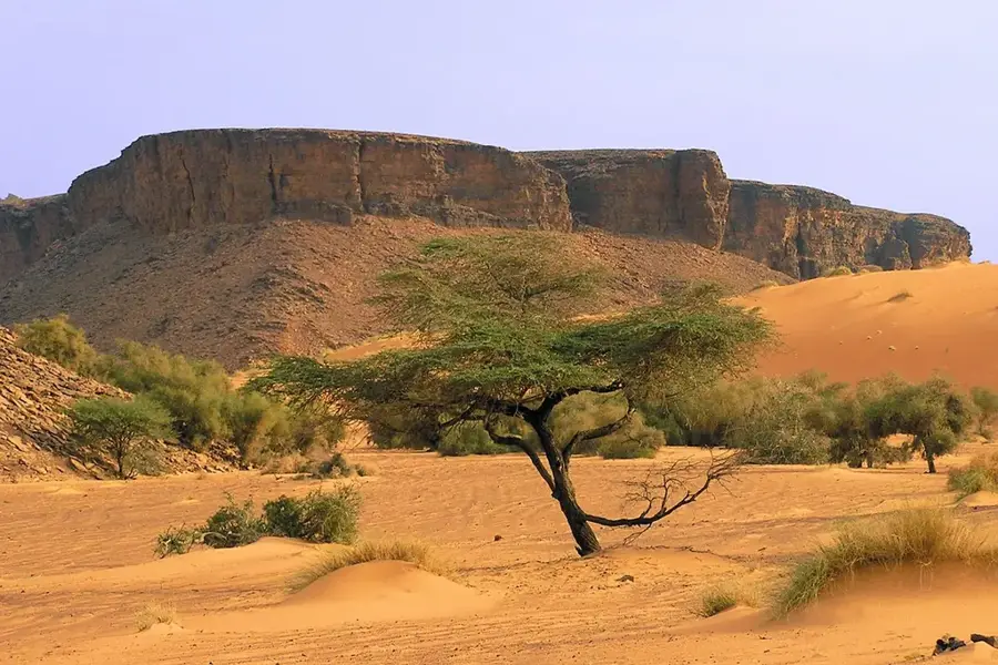
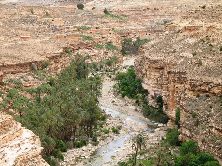
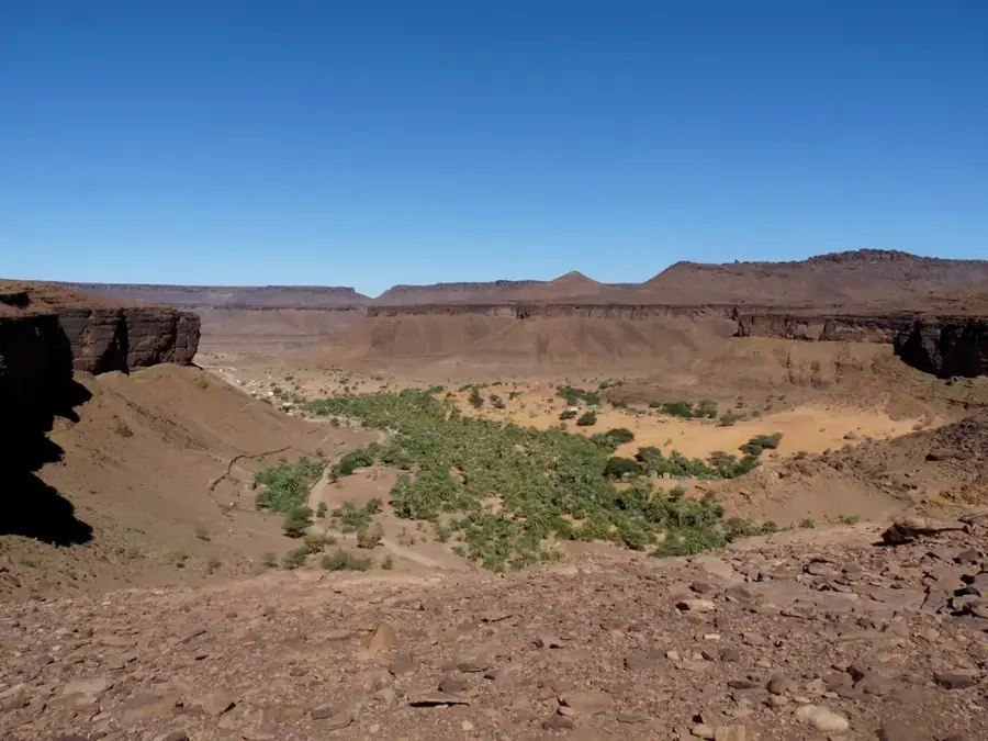
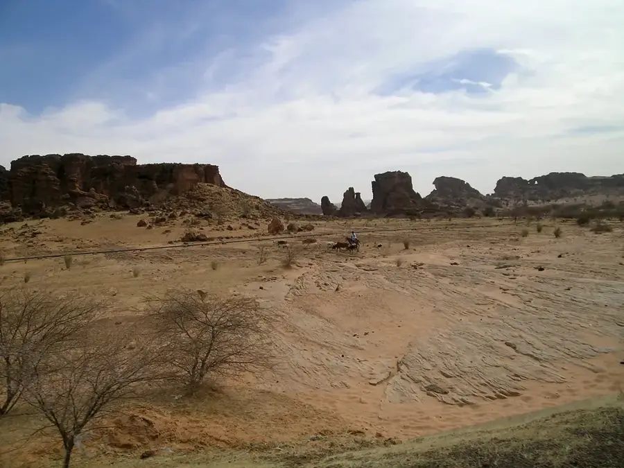
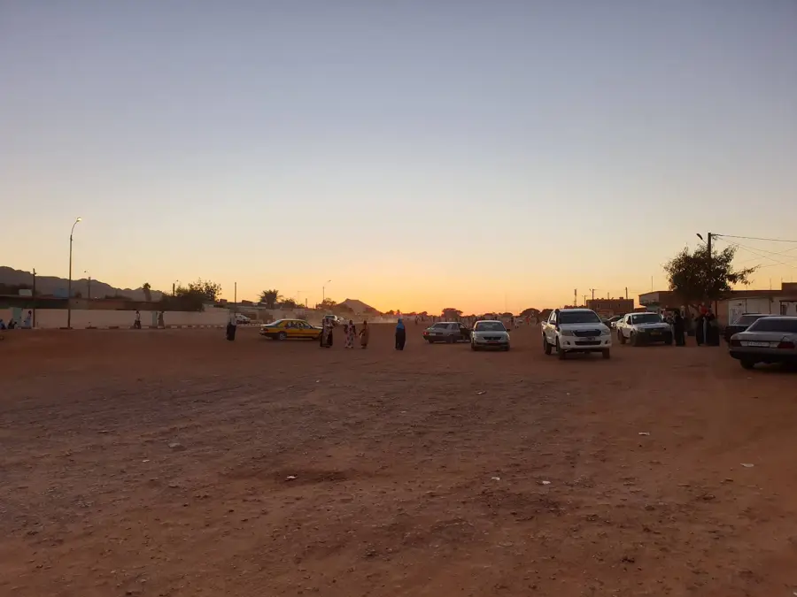
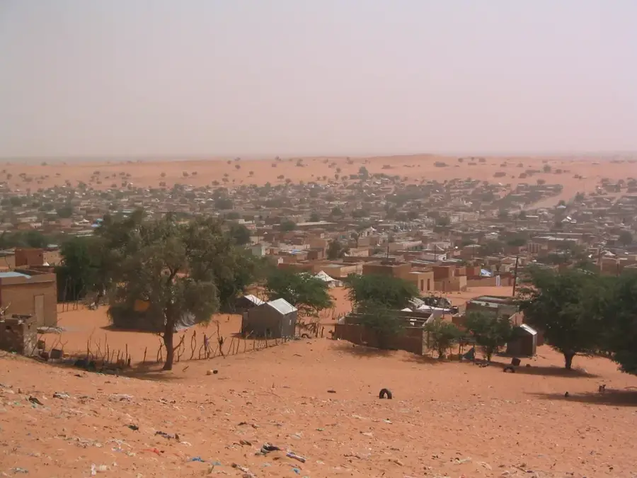
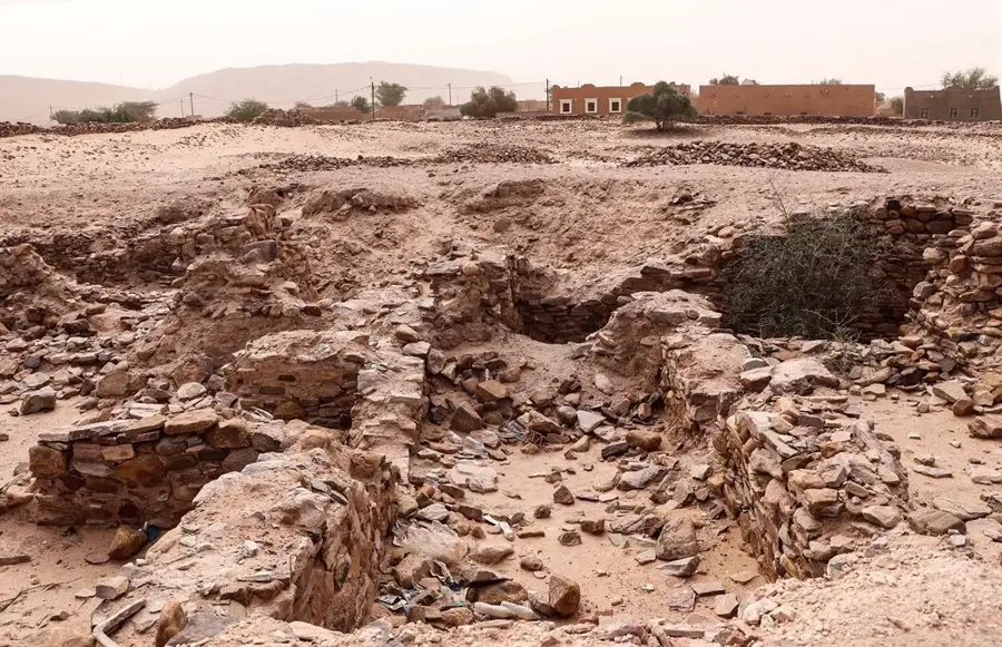
The remains of the Azougui Fort are situated in the Adrar plateau of Mauritania, marking the site of what was once the 11th-century capital of the Almoravid dynasty. This fortress was the strategic launchpad from which the Almoravids expanded their empire across North Africa and into Al-Andalus in present-day Spain. Located in a scenic valley surrounded by towering cliffs, the site offered natural defense and access to vital springs. Archaeological remains include sections of dry-stone walls, ancient dwellings, and the tomb of Al-Imam Hadrami, a revered scholar of the era. Azougui was a pivotal stop for trans-Saharan trade caravans, facilitating the exchange of goods and Islamic scholarship. Today, the ruins provide a silent testimony to the region's medieval power and influence, offering travelers a chance to explore the roots of Mauritanian identity amidst a starkly beautiful desert environment.
- Location: Mauritania
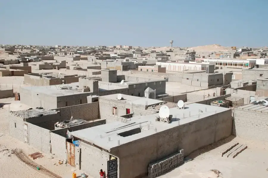
- Nearby: Atar Oasis Agriculture (4 km)
Best time to visit & climate
The most pleasant time to visit is Jan, Feb, Dec.
| Jan | Feb | Mar | Apr | May | Jun | Jul | Aug | Sep | Oct | Nov | Dec | |
|---|---|---|---|---|---|---|---|---|---|---|---|---|
| Avg °C | 18 | 21 | 24 | 28 | 31 | 34 | 34 | 34 | 33 | 30 | 24 | 20 |
| Rain mm | 2 | 1 | 1 | 0 | 1 | 3 | 14 | 24 | 17 | 141 | 1 | 0 |
📋 Practical info
Geography
Facts
- Built circa 1050 CE.
- Wall thickness: 3.5 m at base.
- Area: 0.8 hectares.
- Elevation: 450 m.
- Excavated structures: mosque, 8 rooms, 1 well.
- Garrison capacity: 200 people.
Explore nearby
Notable places around
Route planner — Car & Motorhome
Where do you start? We build the route here, with stops and country notes along the way.
© OpenStreetMap contributors · OpenRouteService
Sights nearby
Frequently asked questions
How difficult is the path to the ruins?
Do you need a guide?
Is the site wheelchair accessible?
Is there a risk of injury?
When should you visit?
Azougui Fort Remains: where is it located?
Azougui Fort Remains: when is the best time to visit?
Azougui Fort Remains: why is it worth visiting?

Nearby cities


History & landmarks


Nature
More places