Plizio Visual Lab
Oued el Abiadh

Weather…
Water temperature…
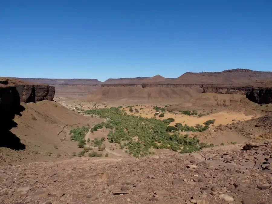
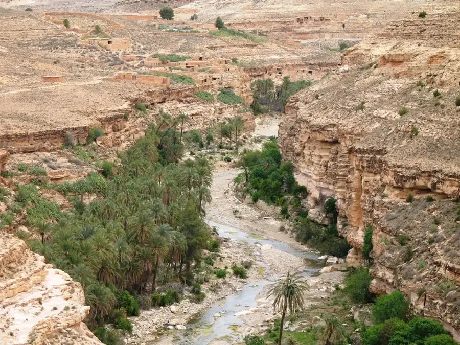
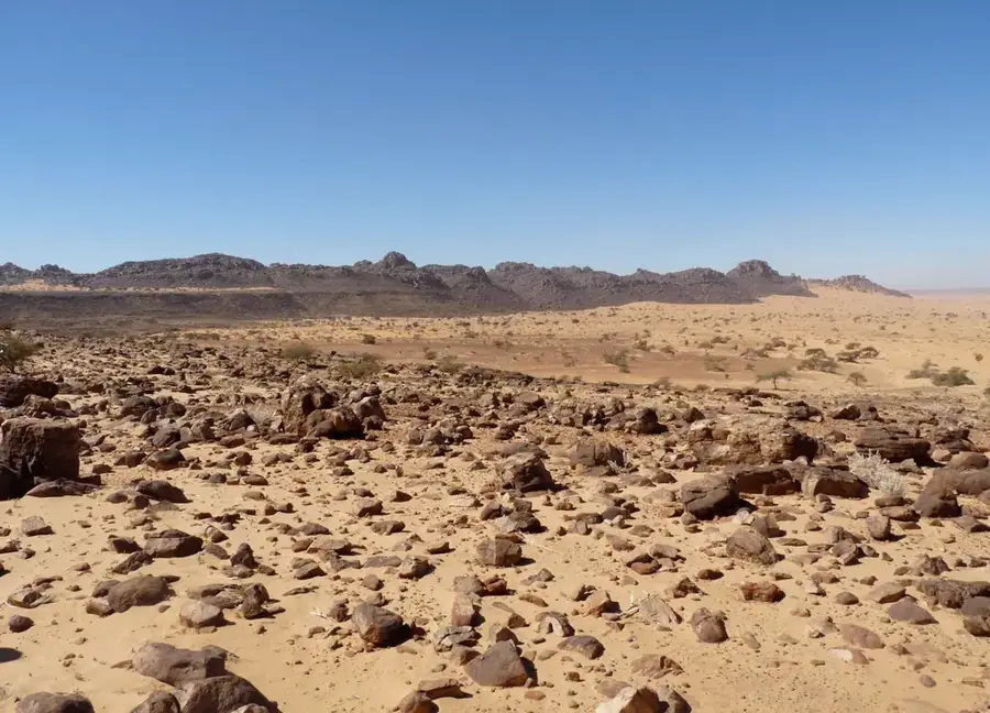
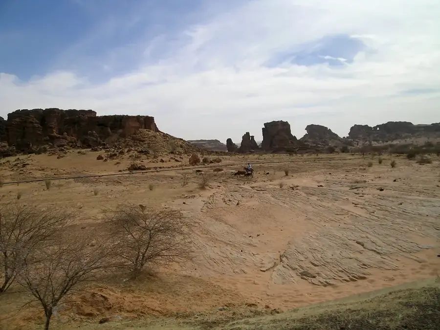
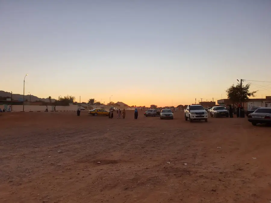
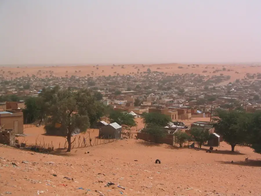
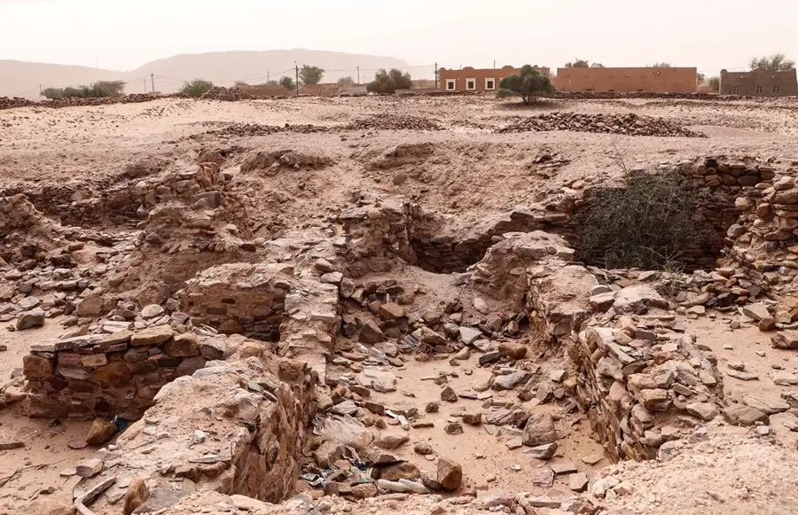
Oued el Abiadh, famously known as the 'White Valley', is a vast fossil riverbed carving through the Adrar Plateau in central Mauritania. It earns its name from the striking, brilliant white sand deposits that line the valley floor, creating a vivid contrast against the dark, weathered sandstone cliffs of the surrounding highlands. This wadi follows ancient tectonic fault lines and serves as a geological record of the 'Green Sahara' period when permanent rivers flowed through this now-arid landscape. Today, it only carries water during rare, heavy rain events, which are nonetheless sufficient to sustain scattered acacia trees and small palm groves in its deeper depressions. Historically, the valley was a critical navigation route for camel caravans traveling between the medieval trade centers of Chinguetti and Ouadane. The area is a prime destination for desert trekking, offering a dramatic interplay of light-colored dunes and rugged rock formations that define the Adrar's unique topography.
- Location: Mauritania
- Nearby: Atar Oasis Agriculture (14 km)
Best time to visit & climate
The most pleasant time to visit is Jan, Feb, Dec.
| Jan | Feb | Mar | Apr | May | Jun | Jul | Aug | Sep | Oct | Nov | Dec | |
|---|---|---|---|---|---|---|---|---|---|---|---|---|
| Avg °C | 18 | 21 | 24 | 28 | 31 | 34 | 34 | 34 | 33 | 30 | 24 | 20 |
| Rain mm | 2 | 1 | 1 | 0 | 1 | 3 | 14 | 24 | 17 | 141 | 1 | 0 |
📋 Practical info
Geography
Facts
- Name means 'White Valley'
- Part of the Erg Amatlich
- Known for high sand dunes
- Popular for desert trekking
- Located in the Adrar region
- Contains seasonal pastures
Explore nearby
Notable places around
Route planner — Car & Motorhome
Where do you start? We build the route here, with stops and country notes along the way.
© OpenStreetMap contributors · OpenRouteService
Sights in the town Oued el Abiadh (1)
Sights nearby
Frequently asked questions
What is Oued el Abiadh?
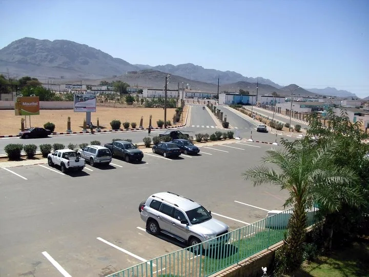
Can one drive there?
Is it rich in vegetation?
When is there a flood risk?
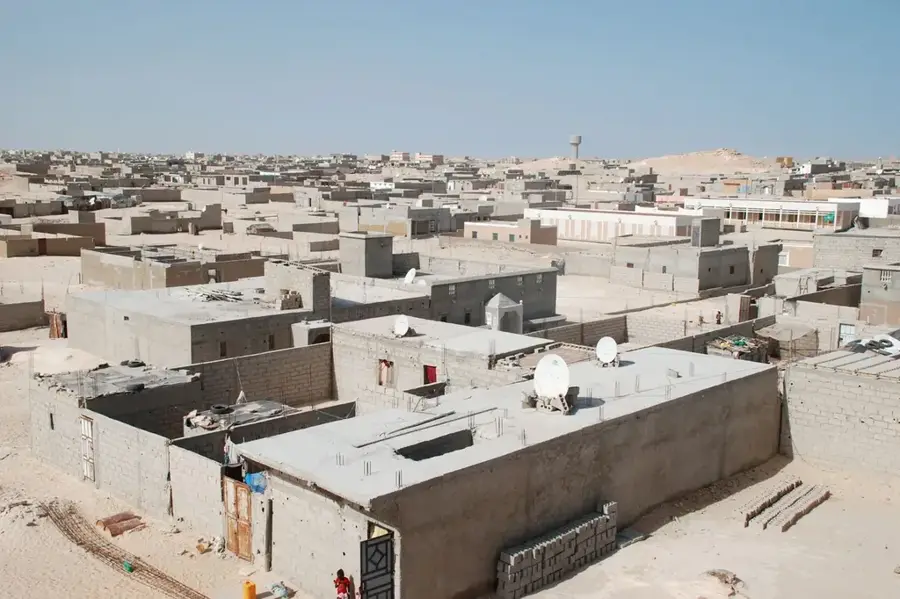
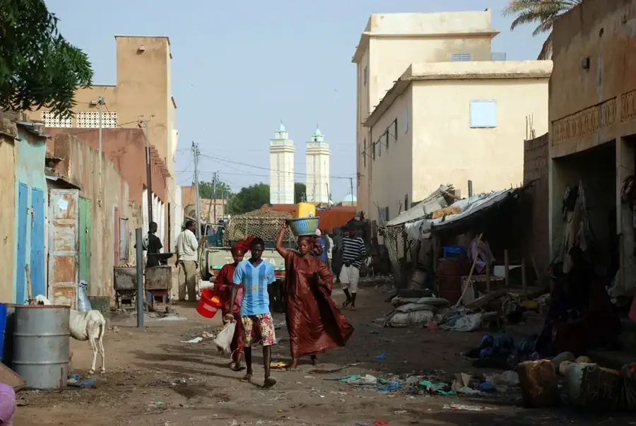
Are there settlements?
Oued el Abiadh: where is it located?
Oued el Abiadh: when is the best time to visit?
Oued el Abiadh: why is it worth visiting?

Nearby cities


History & landmarks

More places