Plizio Visual Lab
Kedia d'Idjil

Weather…
Water temperature…
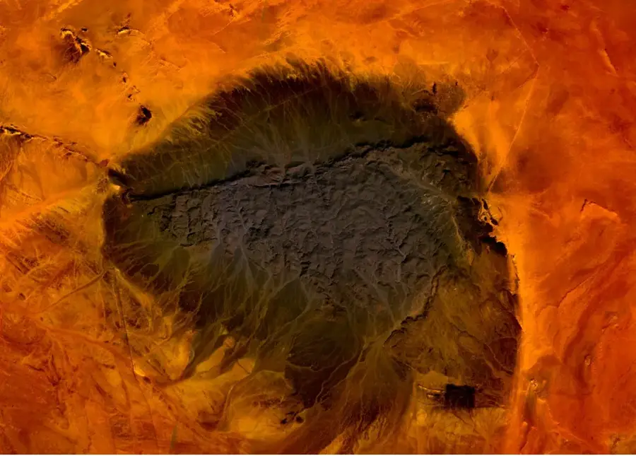
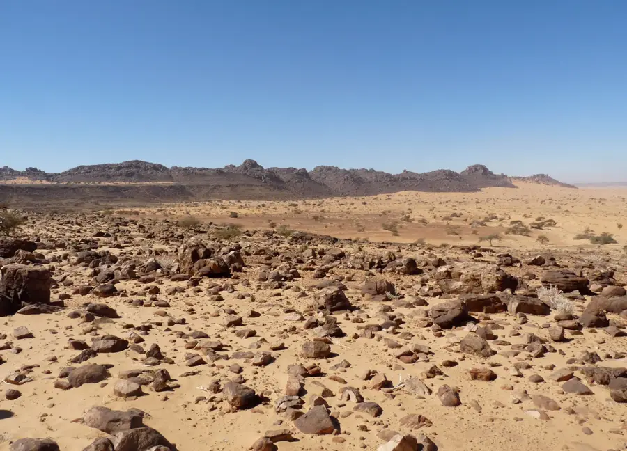
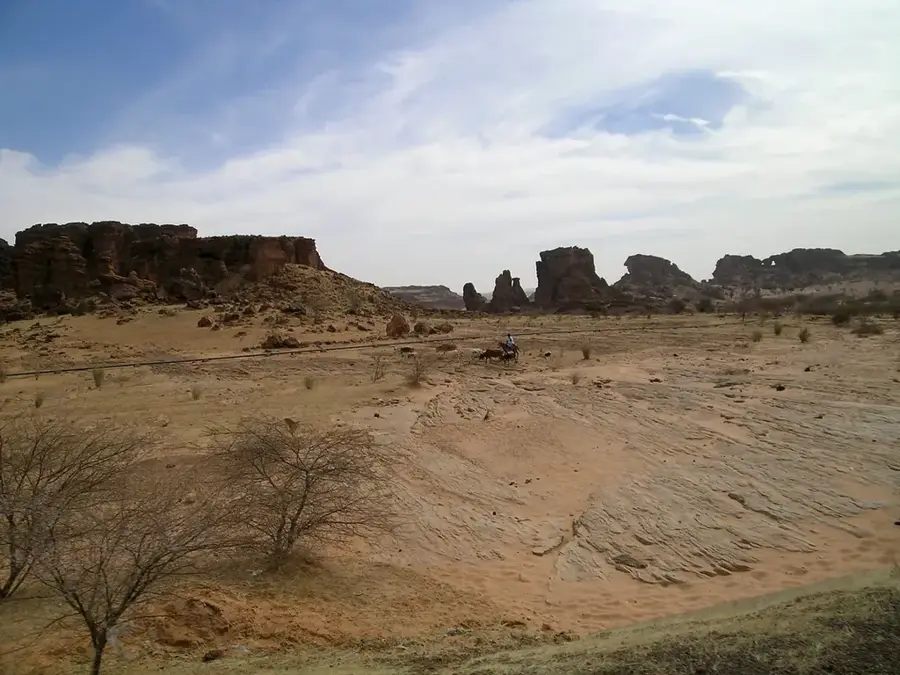
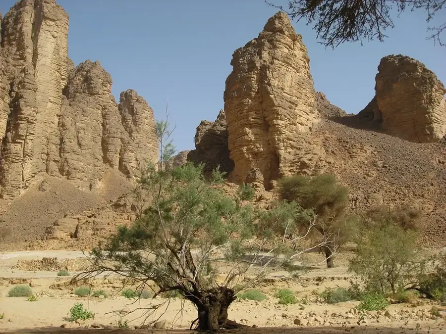
Kedia d'Idjil is the highest peak in Mauritania, rising to an elevation of 915 meters near the industrial hub of Zouérat. This isolated mountain massif is primarily composed of Precambrian quartzites and is world-renowned for its incredibly high concentrations of iron ore, specifically hematite. The density of the ore is so significant that the mountain creates a massive magnetic anomaly, rendering traditional compasses useless in its vicinity. Visually, the range stands out with its dark, metallic blue and purple hues, cutting a sharp silhouette against the golden dunes of the surrounding Sahara. It serves as the source for the famous Mauritanian ore train, which travels over 700 kilometers to the coast. Beyond its economic value, the mountain's rugged topography and steep cliffs offer a unique geological spectacle, showcasing the ancient crustal formations of the African continent in a hyper-arid environment.
- Location: Mauritania
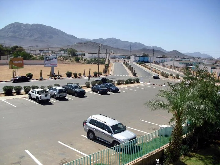
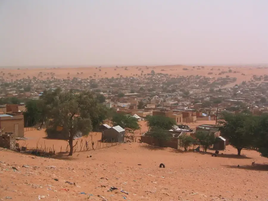
- Nearby: Fdérik (9 km)
Best time to visit & climate
The most pleasant time to visit is Feb, Mar, Nov.
| Jan | Feb | Mar | Apr | May | Jun | Jul | Aug | Sep | Oct | Nov | Dec | |
|---|---|---|---|---|---|---|---|---|---|---|---|---|
| Avg °C | 16 | 18 | 22 | 25 | 28 | 31 | 34 | 34 | 32 | 28 | 22 | 17 |
| Rain mm | 3 | 2 | 1 | 0 | 0 | 3 | 1 | 8 | 12 | 15 | 2 | 2 |
📋 Practical info
Geography
Facts
- Highest point in Mauritania (915m)
- Composed of magnetite rock
- Near the town of Zouérat
- Disturbs magnetic compasses
- Primary iron ore deposit
- Starting point of the desert train
Explore nearby
Notable places around
Route planner — Car & Motorhome
Where do you start? We build the route here, with stops and country notes along the way.
© OpenStreetMap contributors · OpenRouteService
Sights nearby
Frequently asked questions
What is the mountain famous for?
Can one hike there?
Can I visit the mines?
What is the climate like?
Are there accommodations nearby?
Kedia d'Idjil: where is it located?
Kedia d'Idjil: when is the best time to visit?
Kedia d'Idjil: why is it worth visiting?

Nearby cities


History & landmarks

Nature

More places