Plizio Visual Lab
Kedia d'Idjil

Weather…
Water temperature…
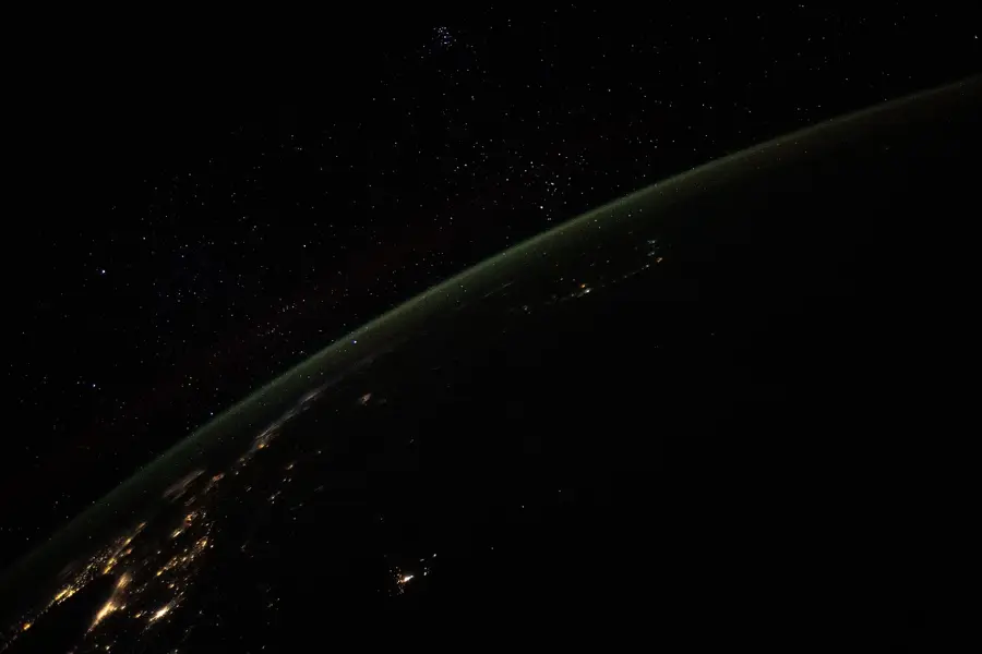
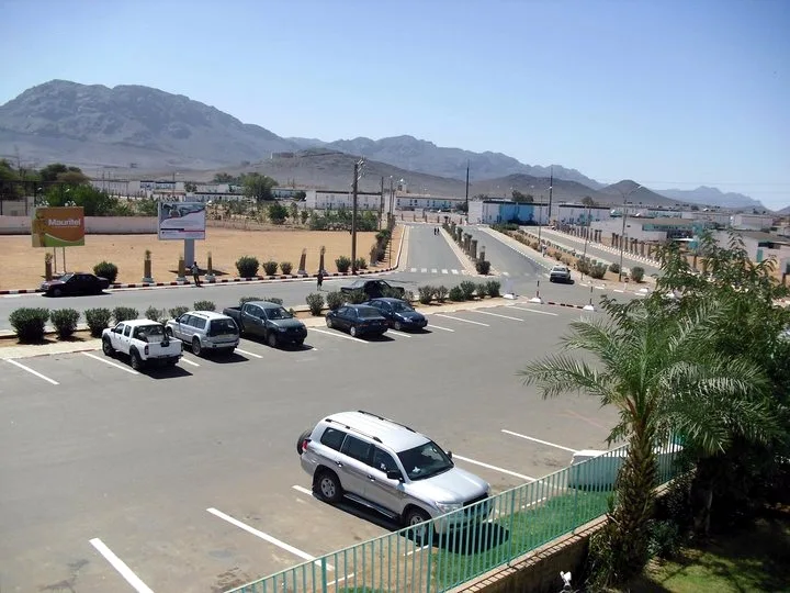
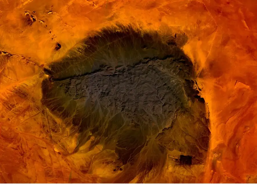
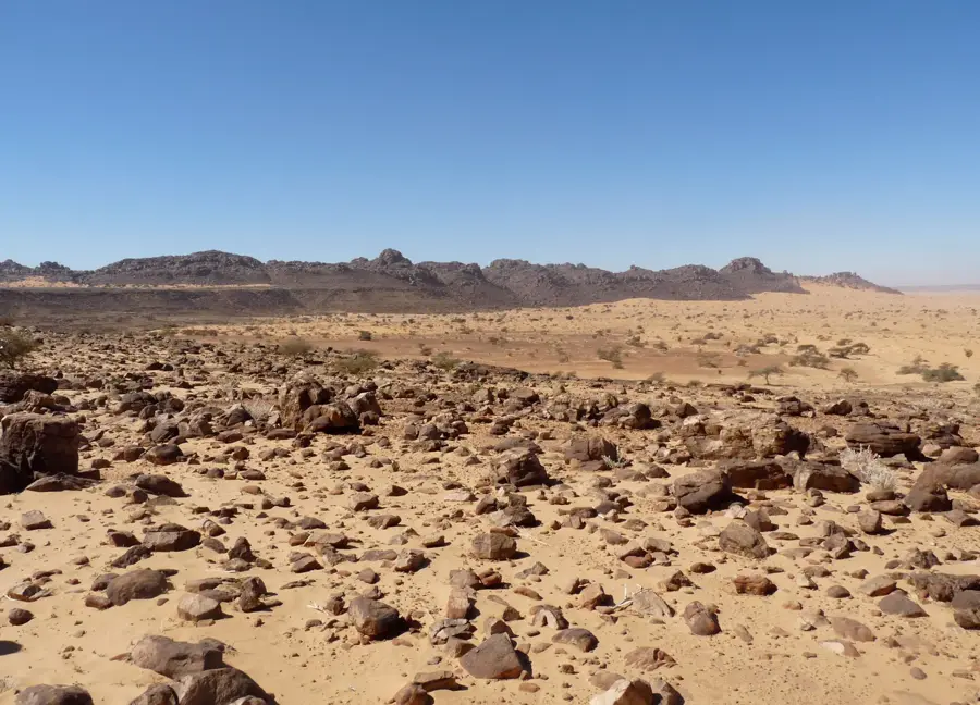
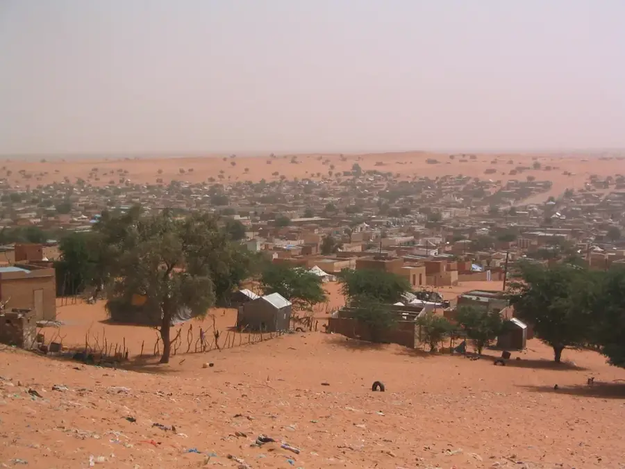
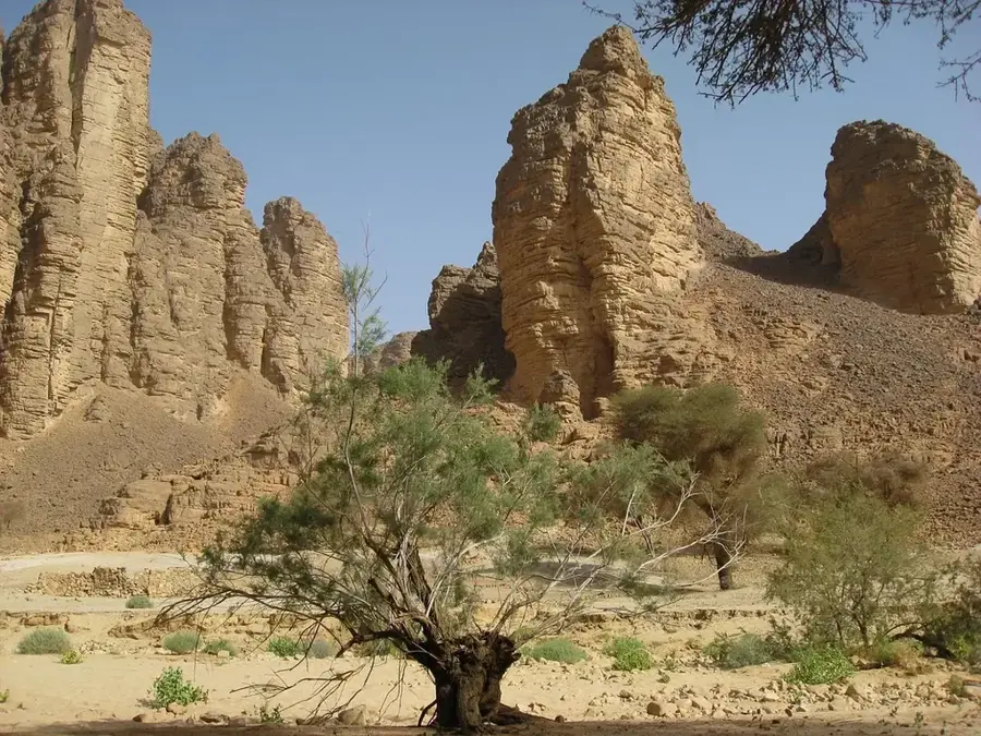
Kedia d'Idjil is the majestic mountain range that forms the highest peak in Mauritania, rising to 915 meters above sea level near the mining town of F'dérik. Its dark, metallic appearance is a result of its unique geological composition, as the mountain is essentially a massive block of high-grade iron ore. This concentration of iron is so significant that it creates local magnetic anomalies, frequently interfering with compass readings in the area. The range is the cornerstone of Mauritania's economy, with the National Industrial and Mining Company (SNIM) operating extensive mines here. The ore extracted from its slopes is transported by the world-famous iron ore train, one of the longest in the world, across the Sahara to the port of Nouadhibou. For visitors, the rugged relief of Kedia d'Idjil provides an impressive visual break from the surrounding sand dunes, offering panoramic views of the Adrar region's vast desert plateaus and the industrial marvels built within this challenging environment.
- Location: Mauritania
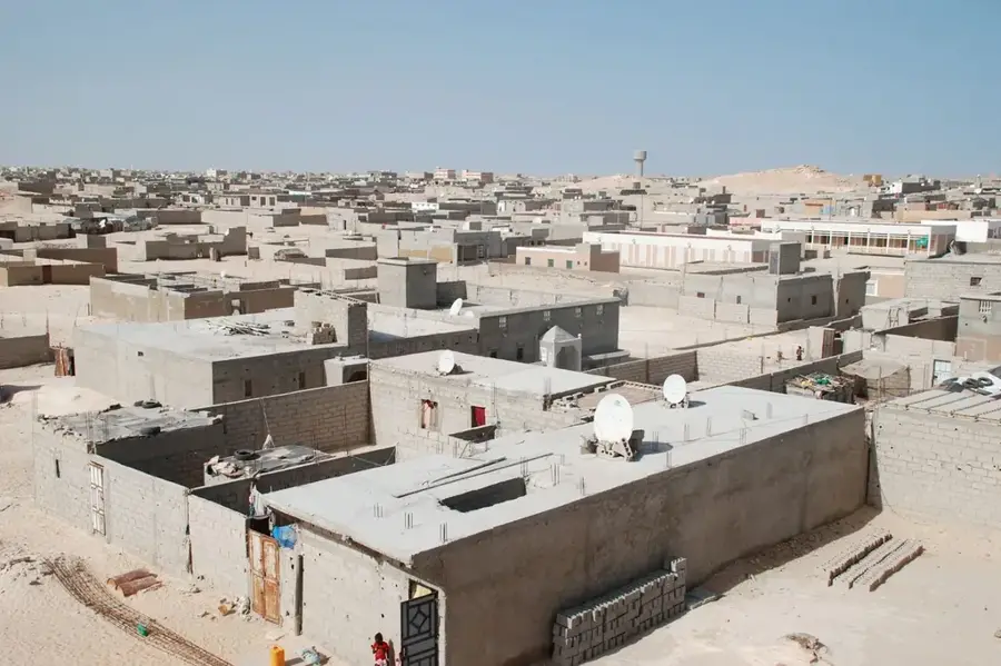
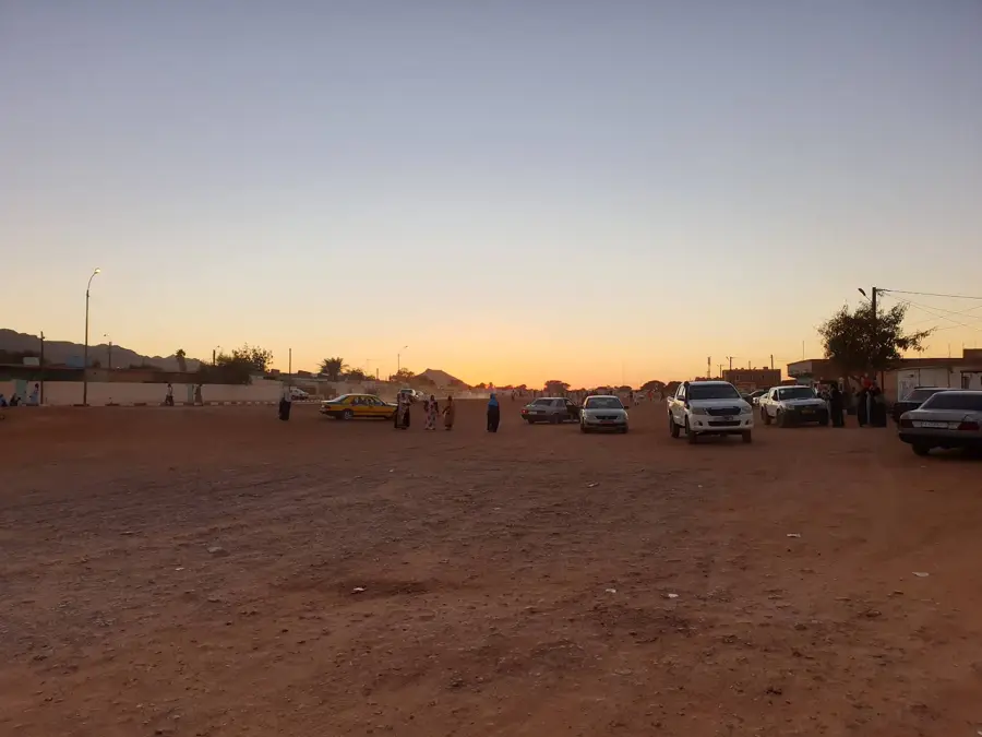
- Nearby: Fdérik (10 km)
Best time to visit & climate
The most pleasant time to visit is Feb, Mar, Nov.
| Jan | Feb | Mar | Apr | May | Jun | Jul | Aug | Sep | Oct | Nov | Dec | |
|---|---|---|---|---|---|---|---|---|---|---|---|---|
| Avg °C | 16 | 18 | 22 | 25 | 28 | 31 | 34 | 34 | 32 | 28 | 22 | 17 |
| Rain mm | 3 | 2 | 1 | 0 | 0 | 3 | 1 | 8 | 12 | 15 | 2 | 2 |
📋 Practical info
Geography
Facts
- Highest point in Mauritania at 915 meters
- Composed of high-grade iron ore (hematite/magnetite)
- Mining operations are managed by the SNIM company
- Causes significant local magnetic anomalies
- Served by the world's longest and heaviest train
- Surrounding area is an extremely arid stone desert
Explore nearby
Notable places around
Route planner — Car & Motorhome
Where do you start? We build the route here, with stops and country notes along the way.
© OpenStreetMap contributors · OpenRouteService
Sights nearby
Frequently asked questions
What is Kedia d'Idjil?
Is it hikeable?
How is the view?
Are there tours?
What do I need to bring?
Kedia d'Idjil: where is it located?
Kedia d'Idjil: when is the best time to visit?
Kedia d'Idjil: why is it worth visiting?

Nearby cities


History & landmarks

Nature
More places