Plizio Visual Lab
Tal-Ħad-Dingli
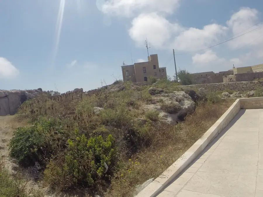
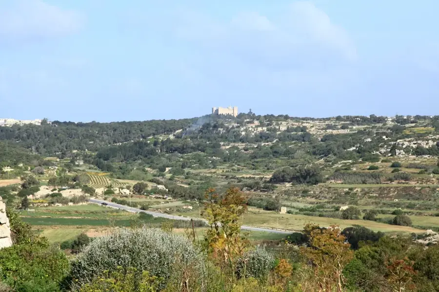
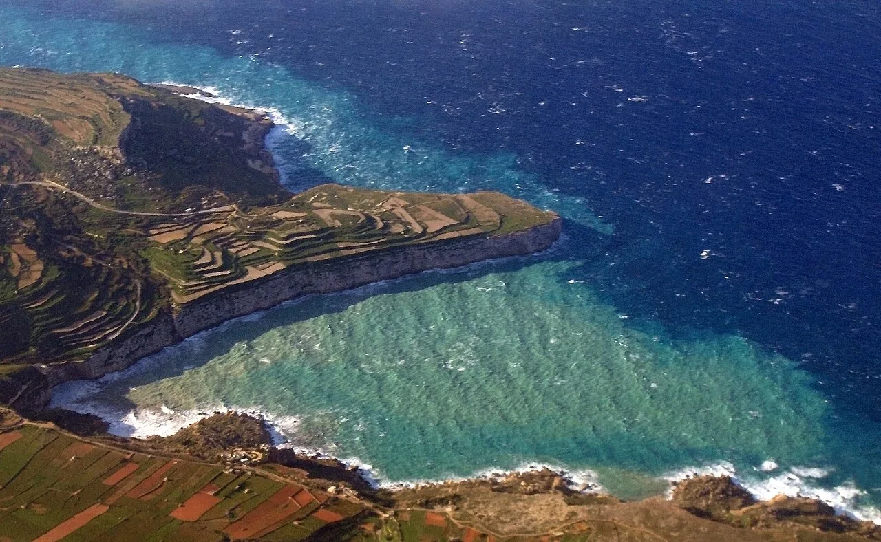
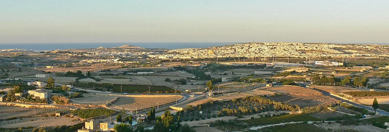
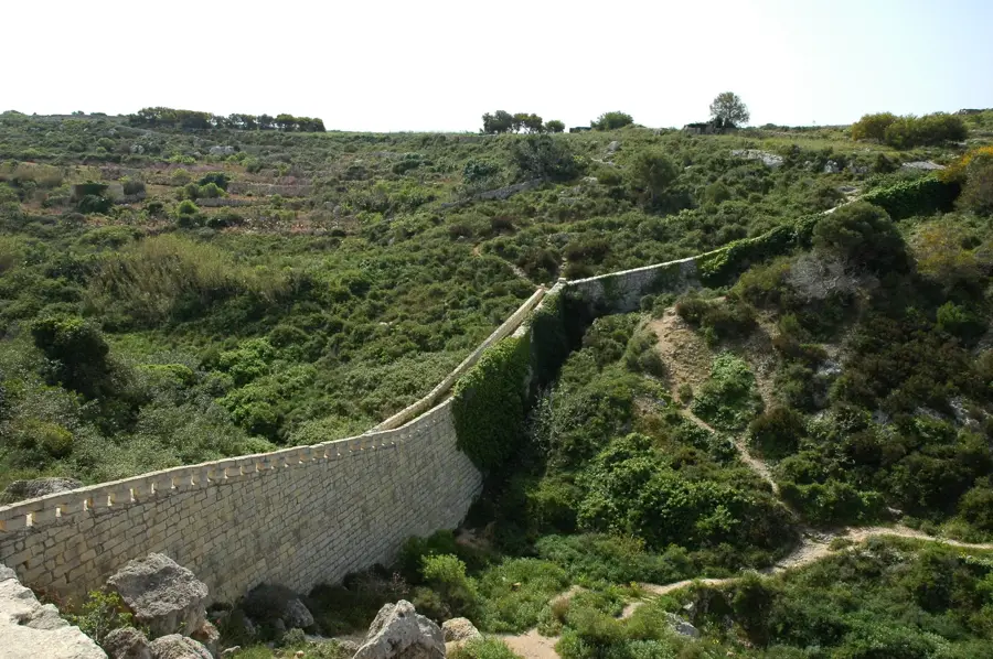
The area of Tal-Ħad, situated near the Dingli Cliffs, represents one of the most spectacular and ecologically significant high plateaus in Malta. Located at an elevation of approximately 250 meters above sea level, this habitat is characterized by extensive garrigue landscapes, rugged limestone cliffs, and terraced fields. The Dingli Cliffs provide good nesting sites for several seabird species, including the Scopoli's Shearwater and the Yellow-legged Gull. Botanically, the area is renowned for its high concentration of endemic plants, such as the Maltese Rock-centaury and various orchid species that thrive in the rocky crevices and thin soils. The geological formation mainly consists of Upper Coralline Limestone resting on layers of Blue Clay, resulting in unique hydrology and specialized flora. Tal-Ħad serves not only as a sanctuary for wildlife but also features a profound glimpse into traditional Maltese dry-stone wall farming and the raw beauty of the archipelago's coastal landscape.
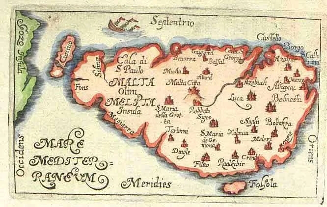
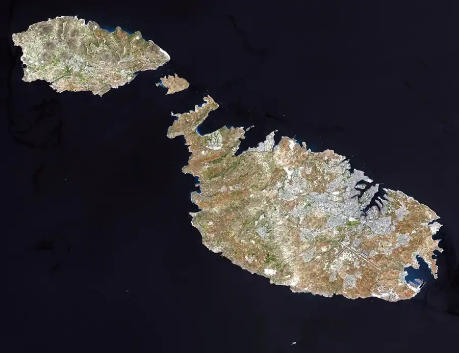
- Location: Malta
- Top sights: Dingli Cliffs · Saint Mary Magdalene Chapel · Għar il-Kbir
- Nearby: Mtarfa (4 km)
Best time to visit & climate
The most pleasant time to visit is May–Jul.
| Jan | Feb | Mar | Apr | May | Jun | Jul | Aug | Sep | Oct | Nov | Dec | |
|---|---|---|---|---|---|---|---|---|---|---|---|---|
| Avg °C | 15 | 14 | 15 | 16 | 19 | 23 | 26 | 27 | 25 | 23 | 20 | 16 |
| Rain mm | 74 | 65 | 51 | 33 | 17 | 11 | 4 | 10 | 63 | 82 | 95 | 82 |
📋 Practical info
Geography
Facts
- Tal-Ħad is located near the highest point of Malta at approximately 253 meters above sea level.
- The region is famous for its sheer cliff formations that drop vertically into the sea.
- It is home to the Maltese Rock-centaury, the national plant of Malta.
- The cliffs are a designated Important Bird Area for nesting shearwaters.
- Geologically, the area is defined by the layering of Coralline Limestone over Blue Clay.
- Historically, the plateau served as a strategic point for coastal surveillance.
Explore nearby
Notable places around
Route planner — Car & Motorhome
Where do you start? We build the route here, with stops and country notes along the way.
© OpenStreetMap contributors · OpenRouteService
Sights in the town Tal-Ħad-Dingli (10)
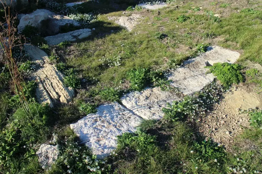
Misraħ Għar il-Kbir
Collection of cart ruts carved into the rock in Dingli, Malta.
Ta' Dmejrek
Highest point of Malta, 253 meters above sea level.
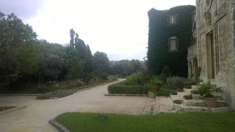
Verdala Palace🏰 castle
Building in the Buskett Gardens, Malta, built in the 16th century.
Bronze age settlement
Bronze Age settlement, remains of huts and walls.
Dingli Cliffs Viewpoint
Viewpoint at the Dingli Cliffs, overlooking the sea.
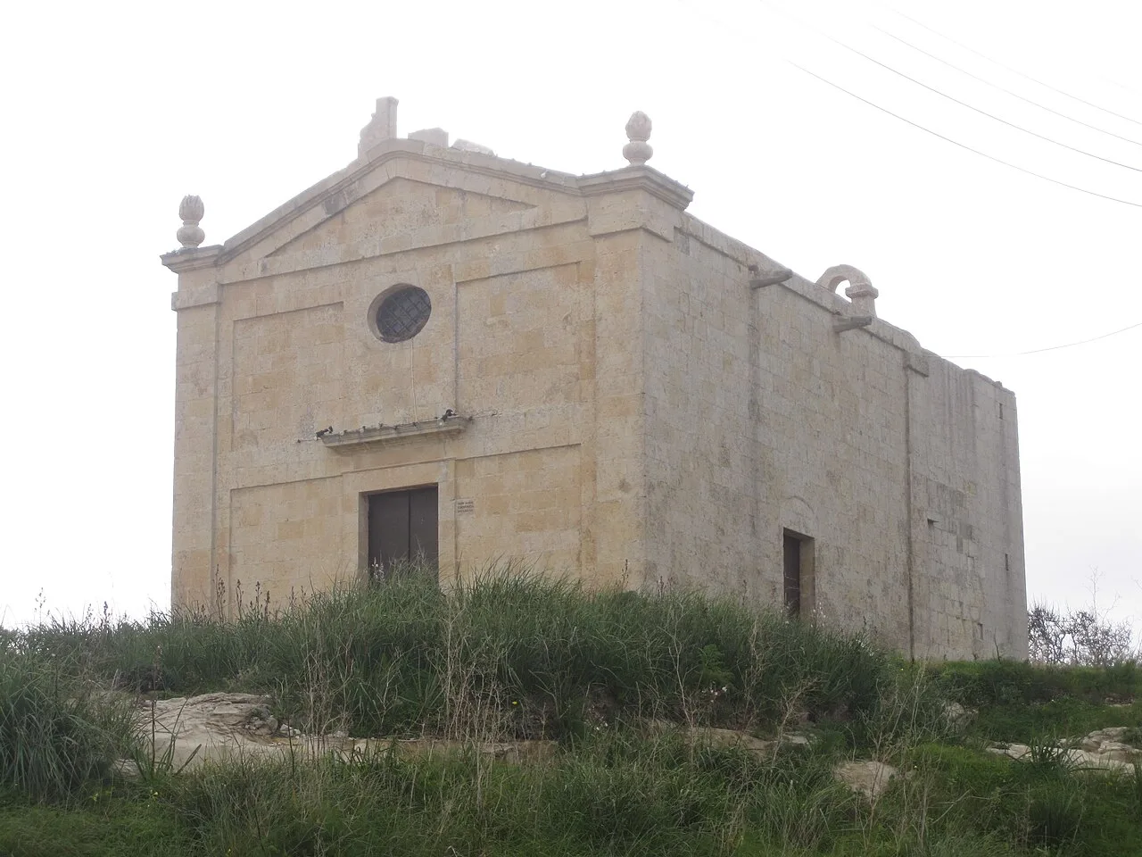
Tax-Xierfa Museum🏛 museum
Museum in Dingli, exhibition on local history and culture.
Sights nearby
Frequently asked questions
What is Tal-Ħad-Dingli known for?
Can you see the sunset from there?
Are there hiking trails?
How do you get there by bus?
Are there restaurants nearby?
Tal-Ħad-Dingli: where is it located?
Tal-Ħad-Dingli: what is there to see?
Tal-Ħad-Dingli: when is the best time to visit?
Tal-Ħad-Dingli: why is it worth visiting?

Nature
More places