Plizio Visual Lab
Il-Qlajja Hill
Plizio editorial teamData Sources
peak
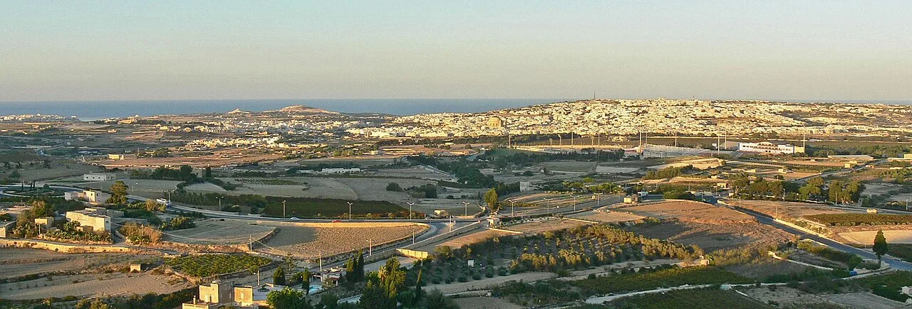
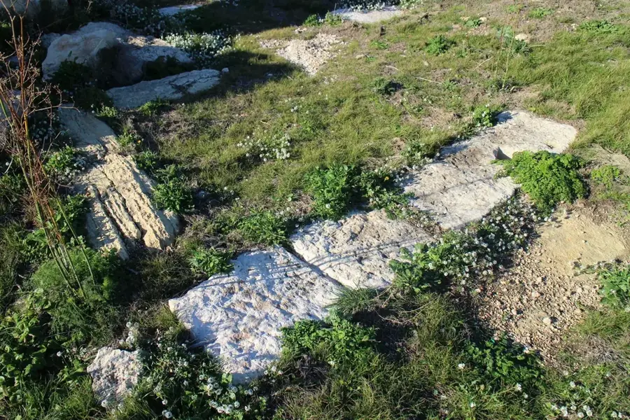
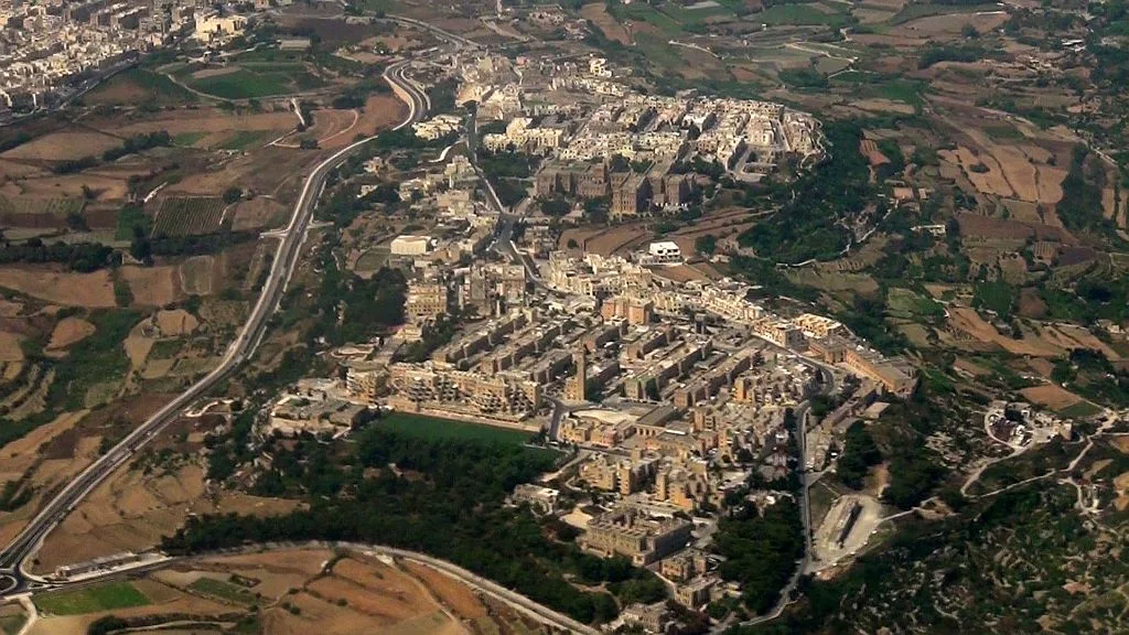
Il-Qlajja Hill is a significant elevation in central Malta, known for its proximity to the Victoria Lines and the Chadwick Lakes (Wied il-Qlejgħa). Geologically, the hill consists of a mixture of Globigerina Limestone and clay formations, which facilitate the formation of seasonal watercourses. Historically, the hill played a central role in Malta's defense as part of the late 19th-century British fortification line. The slopes of the hill support a rich flora, especially after the winter rains when the area turns lush green. The view from the summit stretches across the center of the island to the city of Mdina. Agriculturally, the area is used for growing grains and vegetables, with water from the Chadwick Lakes contributing to irrigation. Today, Il-Qlajja Hill is a favored spot for hiking and picnics in the Maltese countryside.
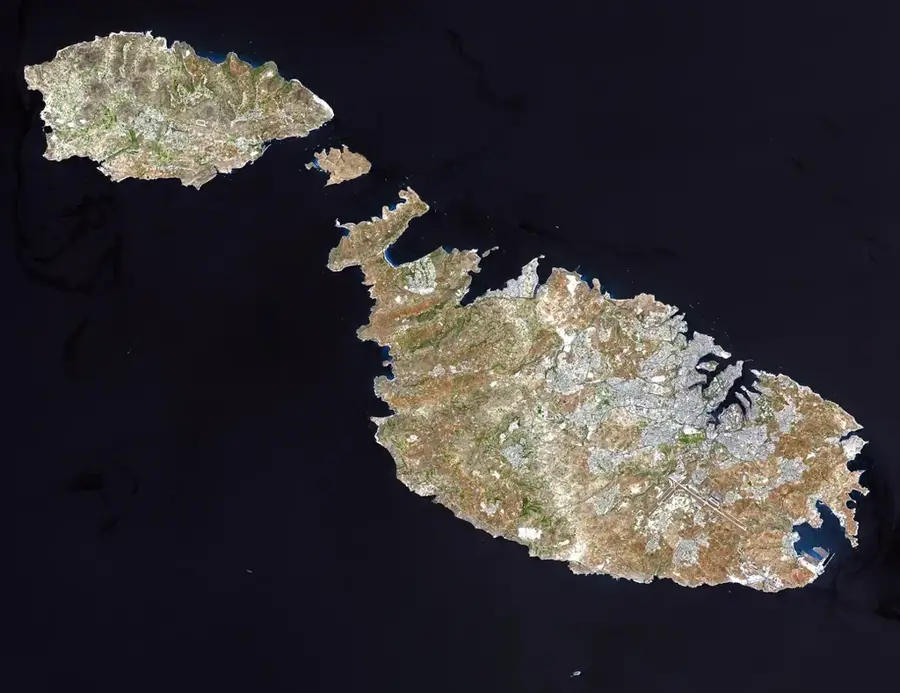
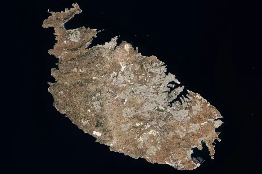
- Location: Malta
- Top sights: Malta Aviation Museum · Ta' Qali Petting Farm · Ta' Qali National Park
- Nearby: St. Helen's Basilica (4 km)
Best time to visit & climate
The most pleasant time to visit is May–Jul.
| Jan | Feb | Mar | Apr | May | Jun | Jul | Aug | Sep | Oct | Nov | Dec | |
|---|---|---|---|---|---|---|---|---|---|---|---|---|
| Avg °C | 15 | 14 | 15 | 16 | 19 | 23 | 26 | 27 | 25 | 23 | 20 | 16 |
| Rain mm | 74 | 65 | 51 | 33 | 17 | 11 | 4 | 10 | 63 | 82 | 95 | 82 |
📋 Practical info
Getting there
The prominent hill is accessed directly via quiet, peacefully winding agricultural lanes branching from the main traffic routes around historical Mdina. Hikers can easily handle the short upward rural ascent using the established footpaths.
Best season
It is good for exploration during the pleasantly mild spring or the quiet late autumn when ambient temperatures are highly favorable. Summer visits completely expose hikers to unrelenting sunlight due to the total absence of protective trees.
Terrain & paths
The gently rising terrain consists largely of a wonderful mix of actively farmed terraced slopes and rocky, unpaved upward inclines. The ground is stable, but there might be a few loose stones on the steeper sections near the top viewpoint.
What to bring
Ordinary, comfortable walking shoes equipped with non-slip soles are completely sufficient to successfully tackle the short summit climb. A wide hat, reliable sunscreen, and plenty of water are absolutely crucial due to the lack of shade.
Parking
Visitors typically park their vehicles safely on the edges of the rural access lanes or utilize designated spots in nearby residential neighborhoods. It is highly advisable to keep agricultural gates clear to avoid blocking local farm tractors.
Safety
The primary minor challenge involves successfully avoiding tripping over hidden stones or active irrigation pipes scattered across the fields. Otherwise, this is an extremely safe, idyllic location as long as visitors strictly respect private farms.
Time needed
A comfortably brisk upward climb combined with a wonderfully relaxing short break at the summit to properly admire the surrounding panoramic views takes roughly thirty to forty-five minutes. It is a truly excellent destination for a quick scenic escape.
Geography
Facts
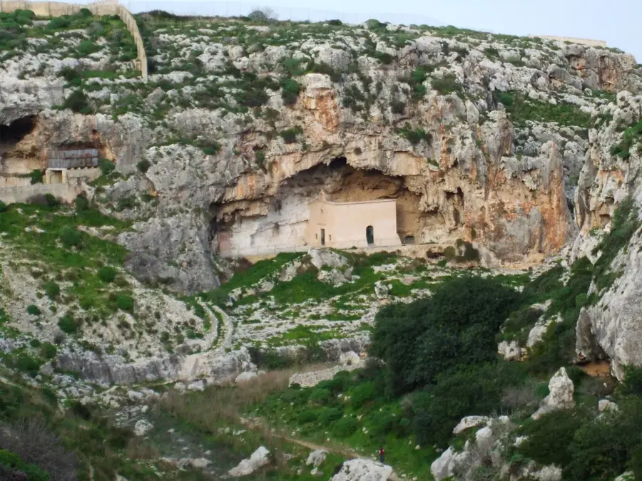
- The hill is located near Wied il-Qlejgħa, Malta's largest freshwater system.
- Sections of the Victoria Lines defensive walls run along its flanks.
- The elevation of the hill is approximately 120 meters above sea level.
- The area is an important habitat for the rare Maltese Freshwater Crab.
- The dome of the Mosta Rotunda is clearly visible from the summit.
- The geological soil composition retains moisture better than coastal regions.
Explore nearby
Notable places around
Route planner — Car & Motorhome
Where do you start? We build the route here, with stops and country notes along the way.
Vehicle
Only stops with (optional):
© OpenStreetMap contributors · OpenRouteService
Sights in the town Il-Qlajja Hill (10)
Ta' Qali (Former RAF airfield)
Former RAF airfield in Ta' Qali.
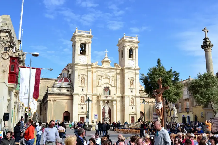
St. Paul's Cathedral
Cathedral in Mdina, Malta.
Bastion Square
Viewpoint in Mdina.
Palazzo Falson🏛 museum
Medieval townhouse in Mdina, Malta.
Mdina Panorama
Viewpoint in Mdina.
Annunciation Church🏛 museum
Church in Mdina.
Sights nearby
Frequently asked questions
What is located near Il-Qlajja Hill?
The Chadwick Lakes (Wied il-Qlejja) are located right next to it.
When do the lakes have water?
Usually only in winter and early spring after rain.
Is it a good spot for a picnic?
Yes, it is one of Malta's most popular picnic spots.
How to reach the hill?
Best by car via Rabat or Mtarfa.
Are there hiking trails there?
Yes, there are paths along the valley and across the hill.
Il-Qlajja Hill: where is it located?
Il-Qlajja Hill is located in Malta.
Il-Qlajja Hill: what is there to see?
Highlights include Malta Aviation Museum, Ta' Qali Petting Farm, Ta' Qali National Park.
Il-Qlajja Hill: when is the best time to visit?
The most pleasant time to visit is May, Jul.
Il-Qlajja Hill: why is it worth visiting?
Il-Qlajja Hill is a significant elevation in central Malta, known for its proximity to the Victoria Lines and the Chadwick Lakes (Wied il-Qlejgħa).

Explore with Plizio
Discover more places in Europe
More places in Malta →
Nature
Chadwick Lakes (Freshwater)
A man-made system of dams that forms a freshwater habitat during the rainy season.
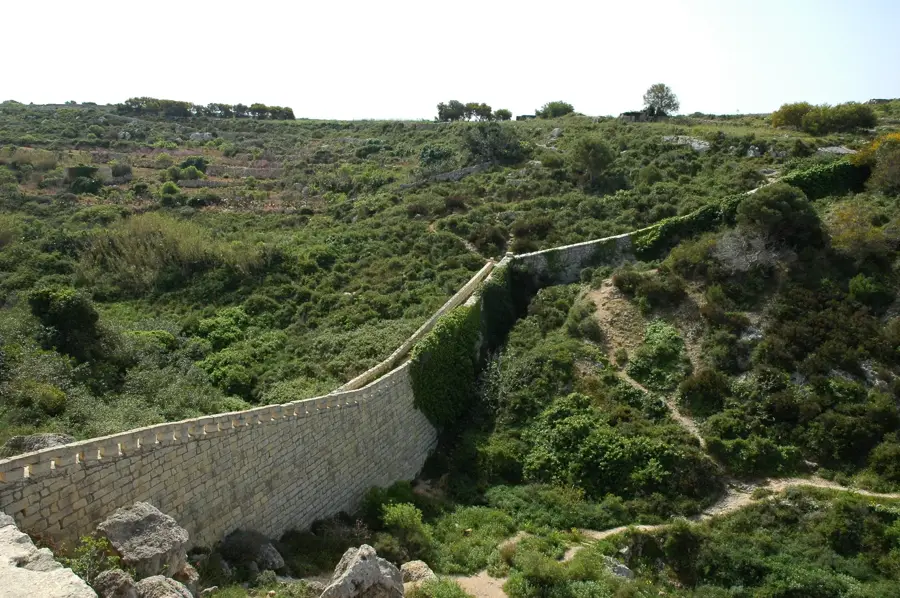
Victoria Lines Fault
A natural geological fault along which a line of fortifications was built in the 19th century.
Ta' Ċinċ Hill
A hill near Birkirkara that functions as part of the interior topography.
🗺️
Mtaħleb Valley
A fertile valley that slopes down to the sea, home to one of Malta's few streams.
Ta' Randu Hill
A hill near Siġġiewi that dominates the landscape in the southwest of Malta.
Ta' l-Agħara Hill
A flat hilltop near Ħal Qormi.
Bahrija Plateau
A rural plateau with beautiful views and walking trails.
More places
City Sightseeing Hop-On-Hop-Off Bus
An easy way for families to explore Malta's main attractions on an open-top bus.
Three Cities Ferry Service
A ferry service connecting Valletta to the Three Cities (Birgu, Senglea).
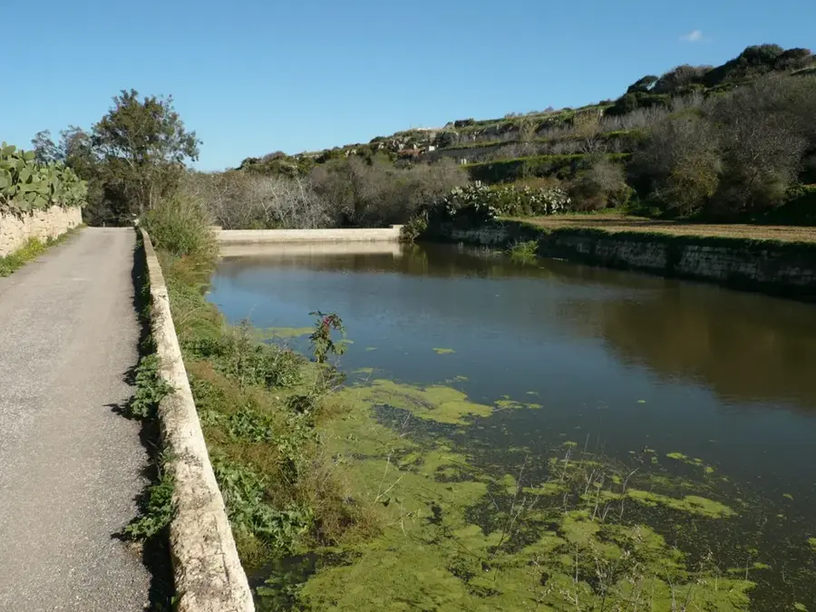
Wied il-Qlejgha (Chadwick Lakes)
A series of dams that collect water during the rainy season, forming an important freshwater habitat.
Bacchus Winery
A restaurant and venue in Mdina with a historic wine cellar.
The Vegetable Patch
A farm specializing in the cultivation of a variety of vegetables.
Trackless Train Rabat-Mdina
A tourist train ride offering a tour of Rabat, Mtarfa and the outskirts of Mdina.

Go-Karting Ta' Qali
A go-kart track suitable for different age groups.
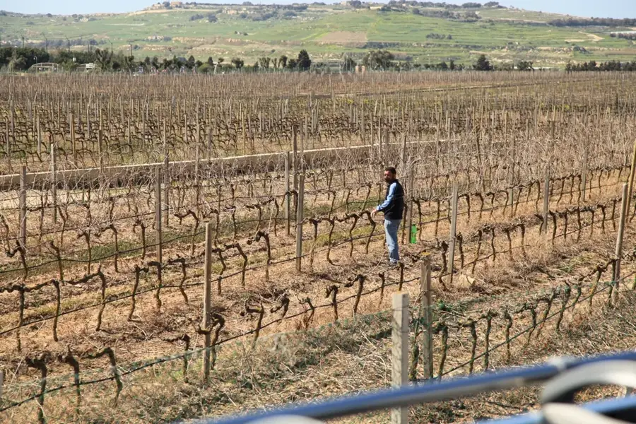
Meridiana Wine Estate
A modern winery in Ta' Qali known for its quality wines made from international grape varieties.