Plizio Visual Lab
Ta' Randu Hill
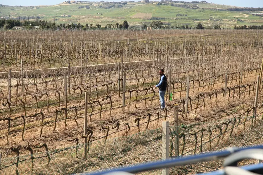
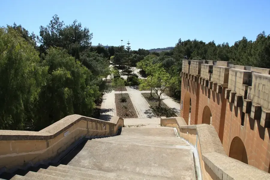
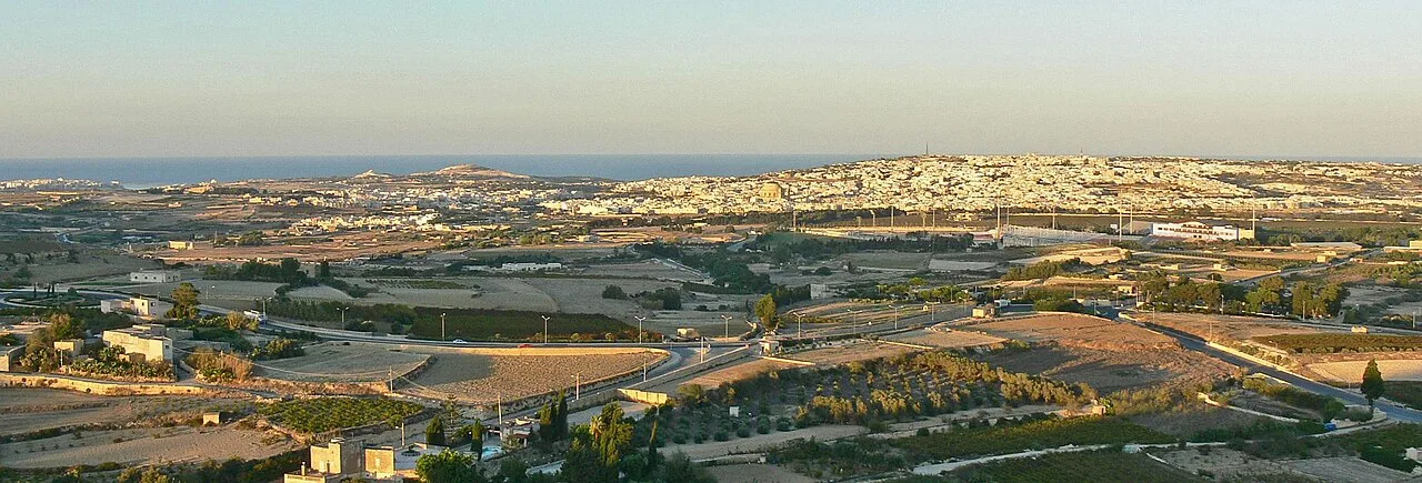
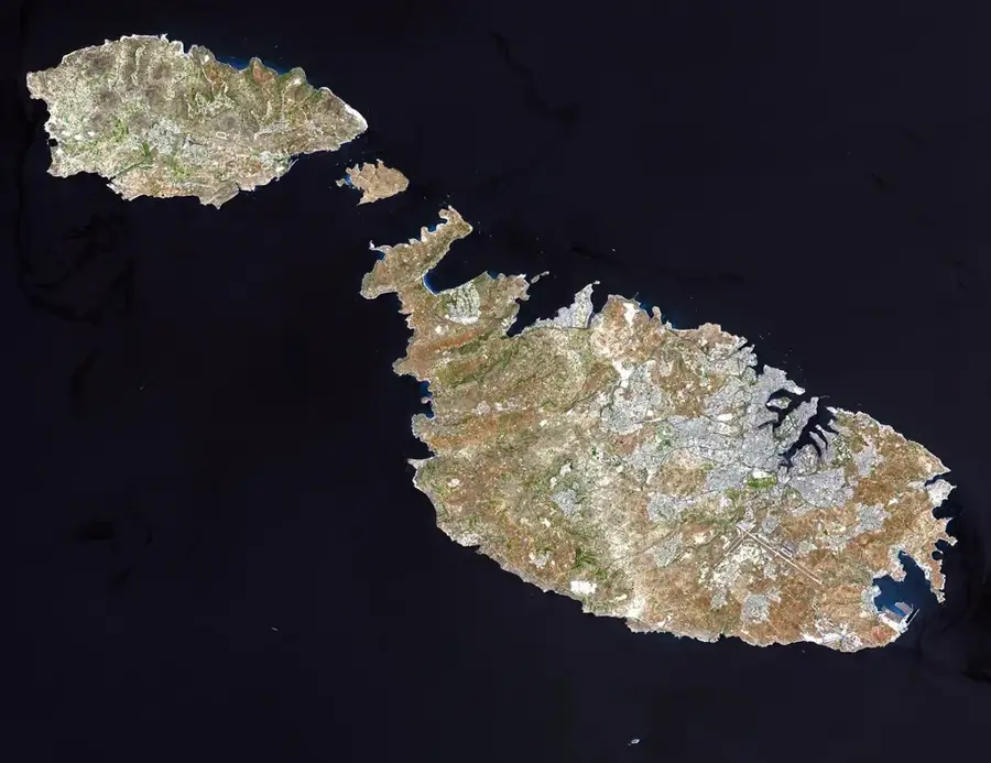
Ta' Randu Hill is a prominent limestone elevation in northwestern Malta, near Manikata and the rural village of Mġarr. Geologically, the hill belongs to the Upper Coralline Limestone system, which forms extensive plateaus in the north of the island. The region is historically closely linked to agriculture, with its gentle slopes used for generations to grow tomatoes and potatoes. Nearby prehistoric sites suggest that the hill served as an observation or settlement point early in history. The natural vegetation is a dense garigue with Mediterranean herbs and wildflowers, creating a colorful landscape especially in spring. Hikers value Ta' Randu Hill for the views over Golden Bay and the wide Mġarr Valley. The geological stability of the limestone has contributed to the preservation of numerous ancient wall structures in the surrounding area.
- Location: Malta
- Top sights: Żebbuġ Parish Church · Our Lady of Sorrows Chapel · Our Lady of Lourdes
- Nearby: Mqabba (4 km)
Best time to visit & climate
The most pleasant time to visit is May–Jul.
| Jan | Feb | Mar | Apr | May | Jun | Jul | Aug | Sep | Oct | Nov | Dec | |
|---|---|---|---|---|---|---|---|---|---|---|---|---|
| Avg °C | 15 | 14 | 15 | 16 | 19 | 23 | 26 | 27 | 25 | 23 | 20 | 16 |
| Rain mm | 74 | 65 | 51 | 33 | 17 | 11 | 4 | 10 | 63 | 82 | 95 | 82 |
📋 Practical info
Geography
Facts
- The hill is composed of weather-resistant Upper Coralline Limestone.
- From here, there is an expansive view of the Mellieħa Ridge.
- The region is part of Malta's first national park, Majjistral Park.
- The elevation of the hill is approximately 105 meters above sea level.
- Nearby remains of Bronze Age cart ruts can be found on the slopes.
- The local soils are known for being particularly rich in minerals.
Explore nearby
Notable places around
Route planner — Car & Motorhome
Where do you start? We build the route here, with stops and country notes along the way.
© OpenStreetMap contributors · OpenRouteService
Sights in the town Ta' Randu Hill (10)
Knisja tal-Lunzjata
Church in Malta.
Wignacourt Aqueduct
17th-century aqueduct in Malta.
Villa Bologna
Stately home in Attard, Malta.
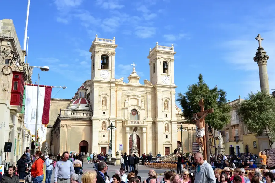
Knisja Arċipretali ta' San Ġorġ
Church construction started in 1584, cross-shaped from 1684, on earlier church sites.
San Anton Gardens
Garden complex in Malta.
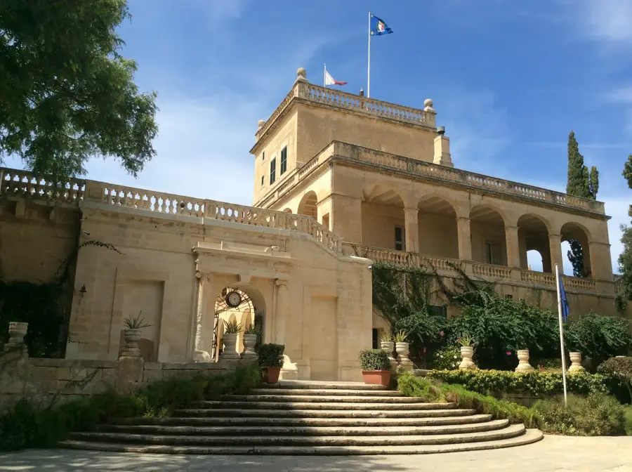
San Anton Palace
Palace in Attard, Malta.
Sights nearby
Frequently asked questions
Where is Ta' Randu located?
Is there agriculture there?
Does the hill offer shade?
Is the view good?
Can you park there?
Ta' Randu Hill: where is it located?
Ta' Randu Hill: what is there to see?
Ta' Randu Hill: when is the best time to visit?
Ta' Randu Hill: why is it worth visiting?

Nature

More places