Plizio Visual Lab
Bahrija Plateau
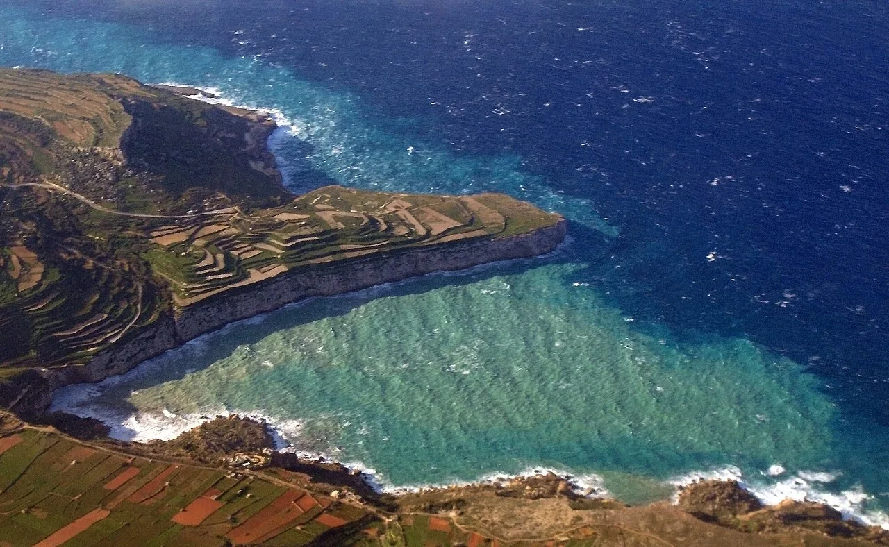
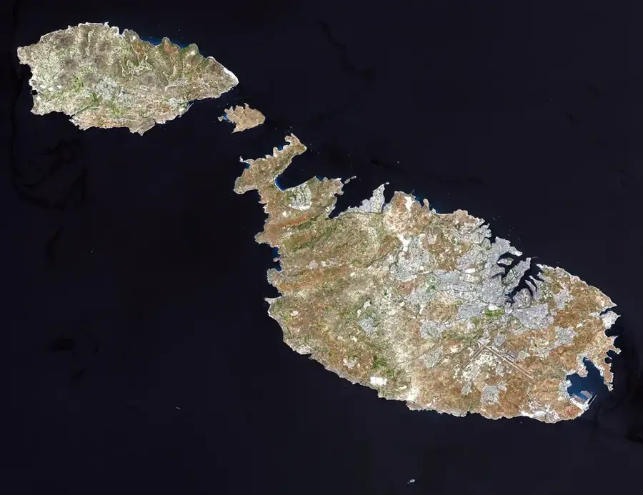
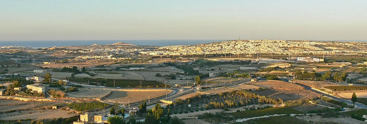
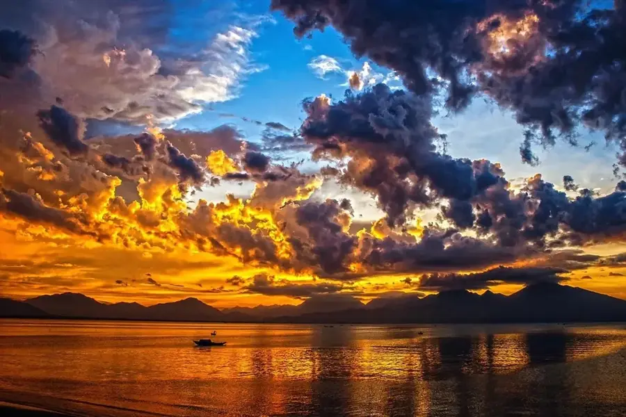
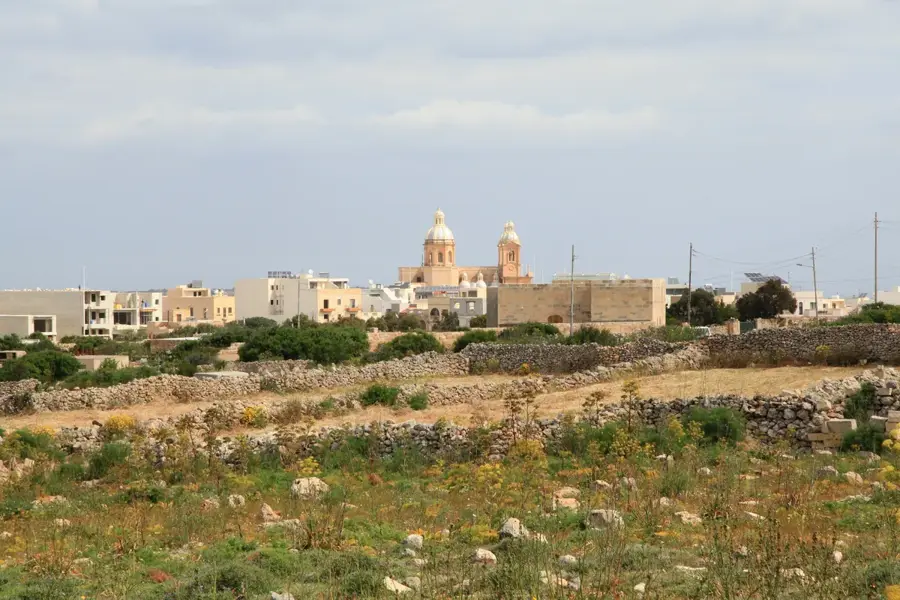
The Bahrija Plateau is a high-altitude karst landscape situated on the western side of Malta, near the village of Baħrija and the dramatic cliffs of Mtahleb. This plateau is one of the most remote and ecologically diverse areas of the island, characterized by its flat top and steep surrounding slopes that lead down to the sea. Historically, the area was a significant site during the Bronze Age, as archaeological excavations have revealed the remains of a village dating back to roughly 1500 BC, providing crucial insights into early Maltese settlements. The plateau is known for its unique 'garigue' vegetation, including endemic plants like the Maltese Rock-centaury and the Maltese Everlasting. During the rainy season, temporary freshwater pools form in the limestone depressions, supporting rare invertebrates. The area has some of the best hiking trails in Malta, with views of the uninhabited island of Filfla in the distance. Its rugged beauty and isolation make it a favored spot for those seeking nature and tranquility away from urban developments. Geologically, it consists primarily of Upper Coralline Limestone, which resists erosion and forms the plateau's distinct flat surface.
- Location: Malta
- Top sights: Torri tas-Santi · Nadur · Fort Binġemma
- Nearby: Dingli (4 km)
Best time to visit & climate
The most pleasant time to visit is May–Jul.
| Jan | Feb | Mar | Apr | May | Jun | Jul | Aug | Sep | Oct | Nov | Dec | |
|---|---|---|---|---|---|---|---|---|---|---|---|---|
| Avg °C | 15 | 14 | 15 | 16 | 19 | 23 | 26 | 27 | 25 | 23 | 20 | 16 |
| Rain mm | 74 | 65 | 51 | 33 | 17 | 11 | 4 | 10 | 63 | 82 | 95 | 82 |
📋 Practical info
Geography
Facts
- The plateau was home to an important Bronze Age village around 1500 BC.
- It is one of the highest points in Malta with extensive views.
- The area is famous for its rare and endemic Maltese flora.
- Seasonal freshwater pools form on the plateau after heavy rain.
- It provides a habitat for the rare Maltese freshwater crab nearby.
- The plateau's geology is dominated by hard Upper Coralline Limestone.
Explore nearby
Notable places around
Route planner — Car & Motorhome
Where do you start? We build the route here, with stops and country notes along the way.
© OpenStreetMap contributors · OpenRouteService
Sights in the town Bahrija Plateau (10)
Wildlife Park
Zoo in Malta with local and exotic animals.
Hunters Hill
Viewpoint on the Bahrija Plateau.
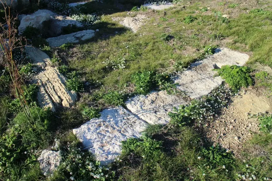
Cart Ruts
Archaeological site with cart tracks carved into rock.
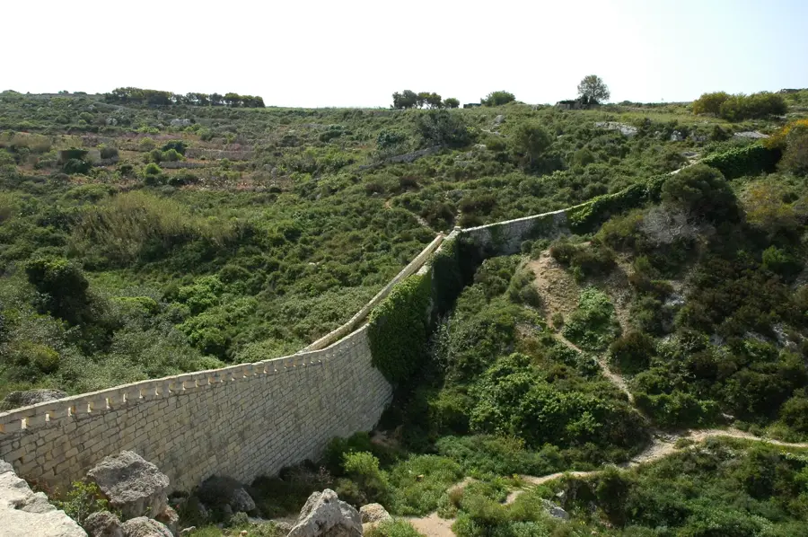
Victoria Lines
Viewpoint along the historic defensive line.
Binġemma Gap
Breach in the defensive line, a geological formation.
catacombs
Underground burial chambers from early Christian times.
Tal-Merħla
Peak in Malta, part of the hilly landscape.
Sights nearby
Frequently asked questions
What is the Bahrija Plateau?
Can you hike there?
Are there archaeological sites there?
Is Bahrija accessible by bus?
Are there any restaurants?
Bahrija Plateau: where is it located?
Bahrija Plateau: what is there to see?
Bahrija Plateau: when is the best time to visit?
Bahrija Plateau: why is it worth visiting?

Nature
More places