Plizio Visual Lab
Dingli Cliffs
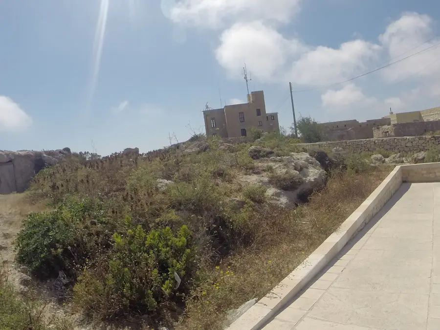
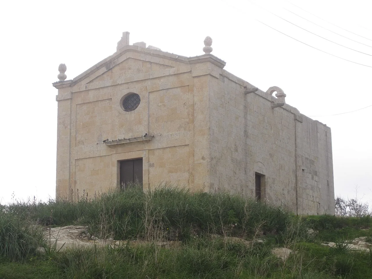
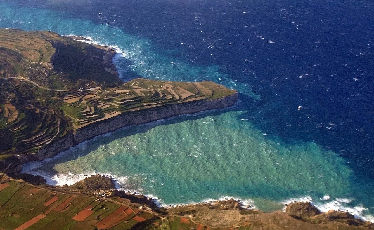
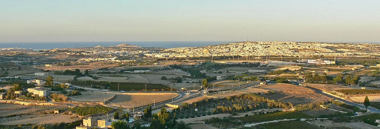
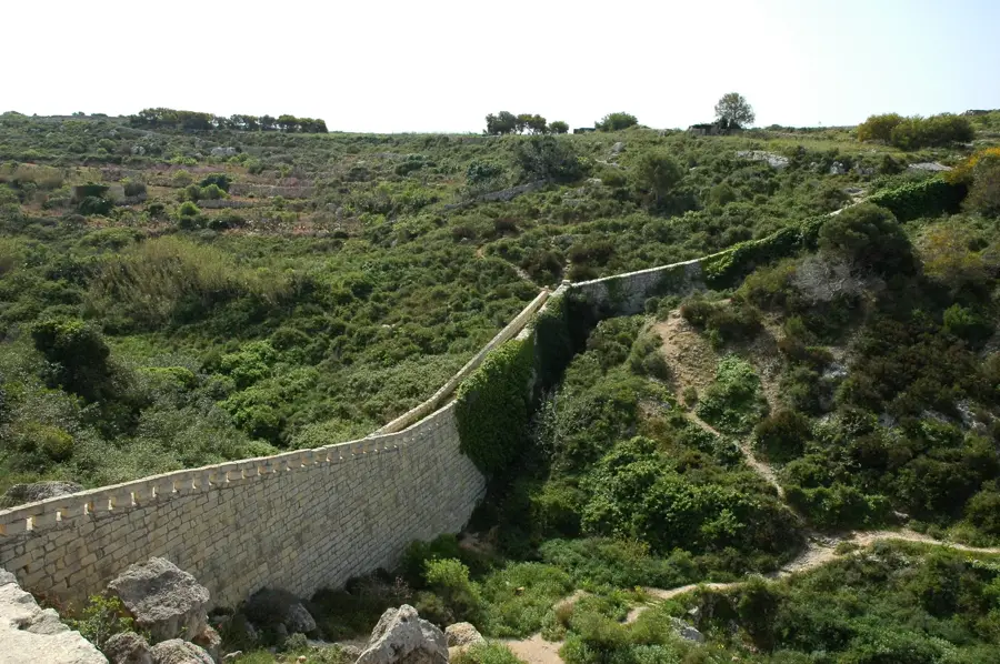
Dingli Cliffs stand as the highest point of the Maltese Islands, reaching an elevation of approximately 253 metres above sea level. These sheer limestone faces drop vertically into the Mediterranean Sea, offering an unparalleled panoramic vista that extends to the uninhabited islet of Filfla on clear days. Historically, the cliffs functioned as a formidable natural defense against seaborne invasions and currently host a strategic radar station vital for Mediterranean air traffic control. A landmark feature of the area is the 17th-century Chapel of St. Mary Magdalene, which stands solitarily on the cliff edge. Geologically, the cliffs are part of Malta's Great Fault system and are primarily composed of Upper Coralline Limestone, which is highly resistant to weathering. The surrounding plateau is a popular location for trekking and provides a habitat for various endemic flora and rare bird species. At sunset, the cliffs attract numerous visitors due to their unobstructed westward views over the open sea.
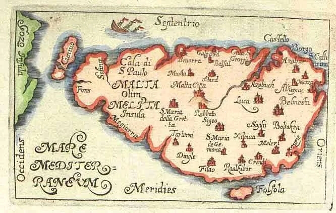
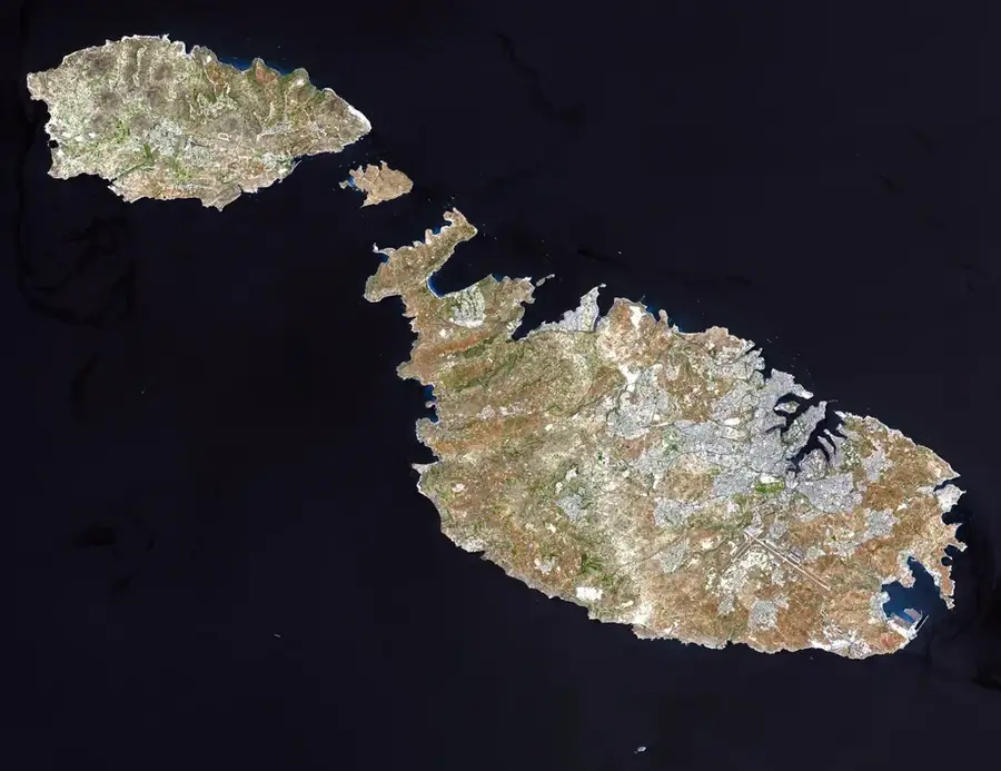
- Location: Malta
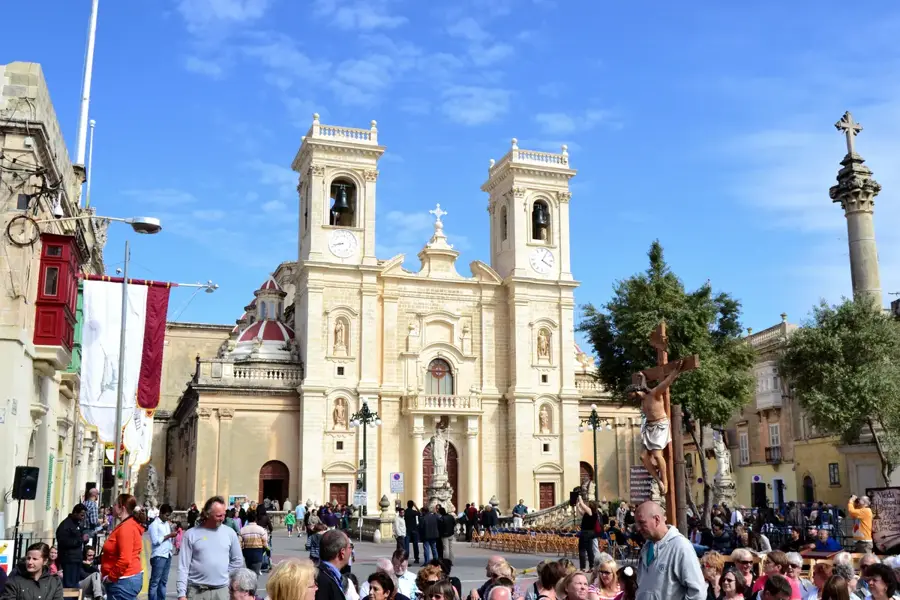
- Top sights: Dingli Cliffs · Saint Mary Magdalene Chapel · Għar il-Kbir
- Nearby: Mdina (The Silent City) (4 km)
Best time to visit & climate
The most pleasant time to visit is May–Jul.
| Jan | Feb | Mar | Apr | May | Jun | Jul | Aug | Sep | Oct | Nov | Dec | |
|---|---|---|---|---|---|---|---|---|---|---|---|---|
| Avg °C | 15 | 14 | 15 | 16 | 19 | 23 | 26 | 27 | 25 | 23 | 20 | 16 |
| Rain mm | 74 | 65 | 51 | 33 | 17 | 11 | 4 | 10 | 63 | 82 | 95 | 82 |
📋 Practical info
Geography
Facts
- The highest point in Malta at 253 metres above sea level
- St. Mary Magdalene Chapel was built in 1646
- Offers clear views of the strictly protected Filfla islet
- Site of a major radar station for Mediterranean air control
- Composed of durable Upper Coralline Limestone
- A prime location for spotting rare Cory's shearwaters
Explore nearby
Notable places around
Route planner — Car & Motorhome
Where do you start? We build the route here, with stops and country notes along the way.
© OpenStreetMap contributors · OpenRouteService
Sights in the town Dingli Cliffs (10)
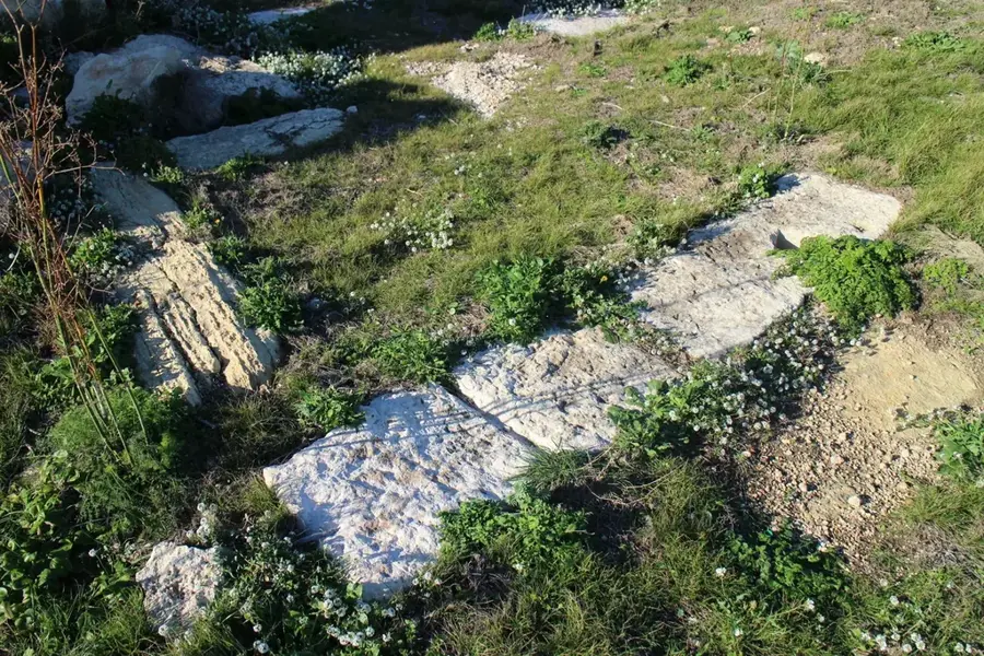
Misraħ Għar il-Kbir
Collection of cart ruts carved into the rock near Dingli, Malta.
Ta' Dmejrek
Highest point of Malta at 253 meters, located near the Dingli Cliffs.
Bronze age settlement
Remains of a Bronze Age settlement on the plateau above the cliffs.
Dingli Cliffs Viewpoint
Lookout point at the Dingli Cliffs offering wide views over the sea.
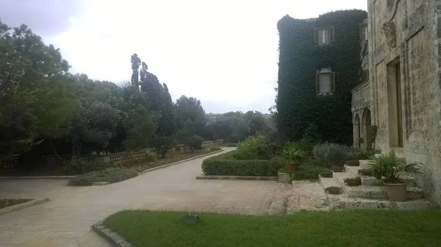
Verdala Palace🏰 castle
Summer palace of the Grand Master in Buskett Gardens, built in the 16th century.
Tax-Xierfa Museum🏛 museum
Small museum in Dingli featuring local artifacts and exhibitions.
Sights nearby
Frequently asked questions
When is the best time to visit Dingli Cliffs?
Are there bus connections to the cliffs?
Is access to Dingli Cliffs free?
Are there toilets or restaurants there?
Can you hike along the cliffs?
Dingli Cliffs: where is it located?
Dingli Cliffs: what is there to see?
Dingli Cliffs: when is the best time to visit?
Dingli Cliffs: why is it worth visiting?

Nature
More places