Plizio Visual Lab
Rural Heritage Trail Dingli
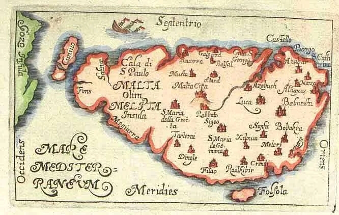
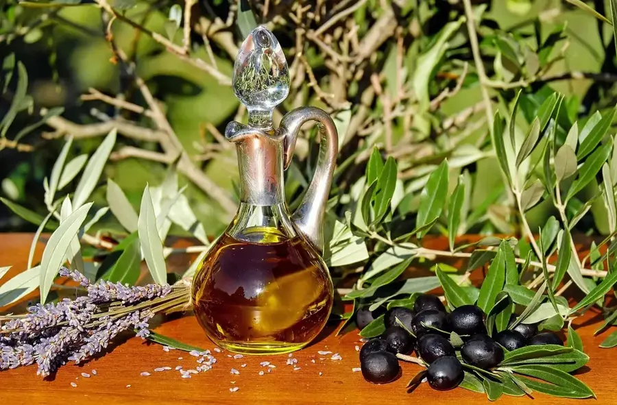
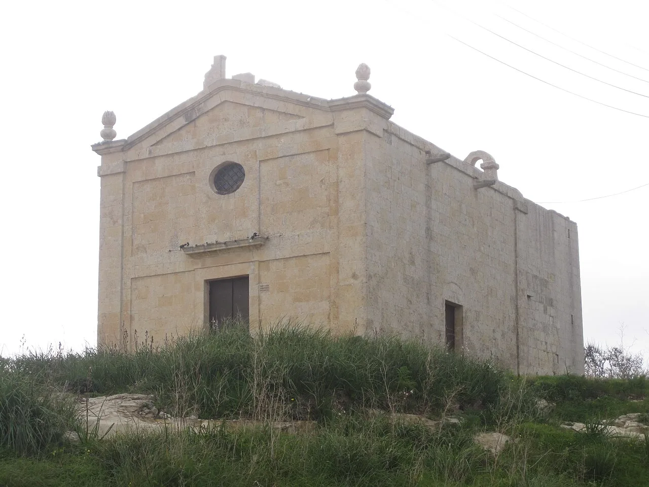
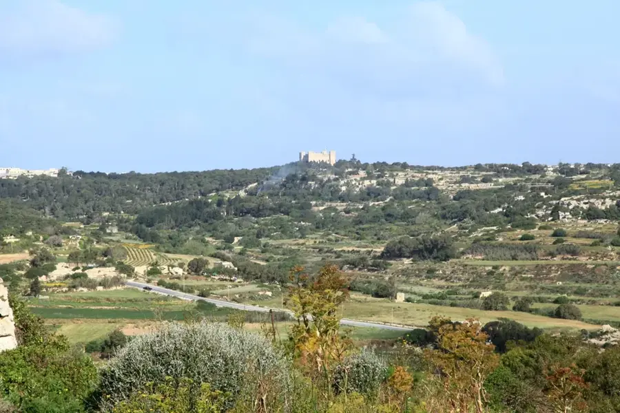
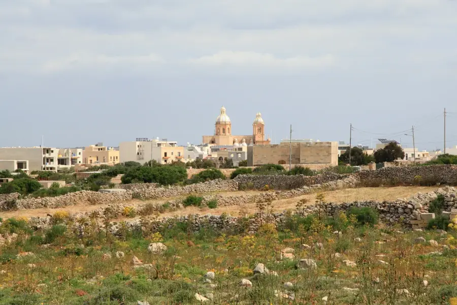
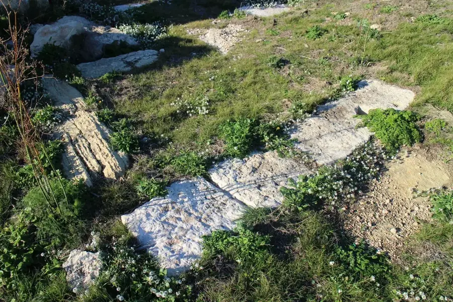
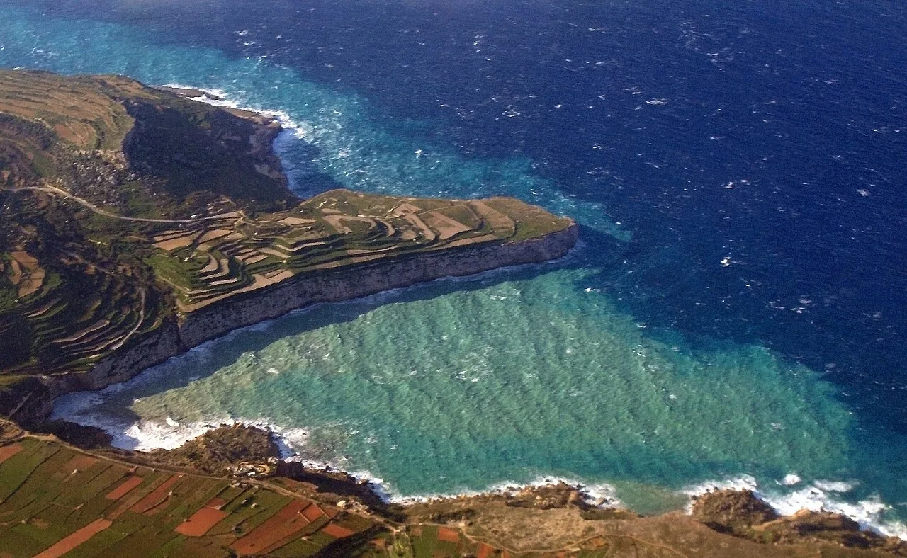
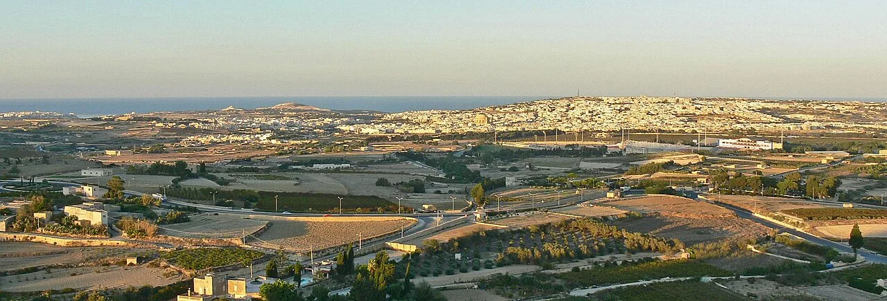
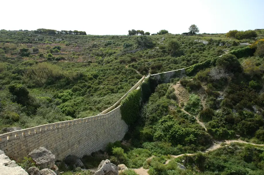
The Rural Heritage Trail in Dingli leads through one of Malta's most unspoiled landscapes, offering deep insights into the island's traditional agriculture. The path stretches along the Dingli Cliffs, which mark the highest point of the archipelago at 253 meters above sea level. Along the route, numerous historical relics can be found, including mysterious cart ruts and Punic rock tombs, testifying to millennia of human settlement. The area is characterized by terraced fields protected by typical dry stone walls (Ħajjet tas-Sejjieħ) to safeguard the precious soil from erosion. Visitors can view the small chapel of St. Mary Magdalene, dating from 1646, which stands solitary on the edge of the cliffs. This hike combines ecological diversity with cultural heritage, showing how farmers have cultivated this barren land for generations. The region's flora includes endemic species perfectly adapted to the windy and saline conditions of the Maltese west coast.
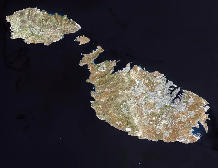
- Location: Malta
- Top sights: Dingli Cliffs · Saint Mary Magdalene Chapel · Għar il-Kbir
- Nearby: Mdina (The Silent City) (4 km)
Best time to visit & climate
The most pleasant time to visit is May–Jul.
| Jan | Feb | Mar | Apr | May | Jun | Jul | Aug | Sep | Oct | Nov | Dec | |
|---|---|---|---|---|---|---|---|---|---|---|---|---|
| Avg °C | 15 | 14 | 15 | 16 | 19 | 23 | 26 | 27 | 25 | 23 | 20 | 16 |
| Rain mm | 74 | 65 | 51 | 33 | 17 | 11 | 4 | 10 | 63 | 82 | 95 | 82 |
📋 Practical info
Geography
Facts
- Dingli Cliffs are the highest point in Malta at 253 meters above sea level.
- The St. Mary Magdalene Chapel along the trail dates back to 1646.
- Nearby are the 'Misrah Ghar il-Kbir' cart ruts, an archaeological mystery.
- Dry stone walls built without mortar protect terraced fields from wind.
- The trail offers clear views of the uninhabited islet of Filfla.
- Archaeological remains in the area date back as far as the Bronze Age.
Explore nearby
Notable places around
Route planner — Car & Motorhome
Where do you start? We build the route here, with stops and country notes along the way.
© OpenStreetMap contributors · OpenRouteService
Sights in the town Rural Heritage Trail Dingli (10)
Misraħ Għar il-Kbir
Collection of cart ruts in Dingli, Malta, also known as Clapham Junction.
Ta' Dmejrek
Highest elevation point of Malta, 253 metres above sea level.
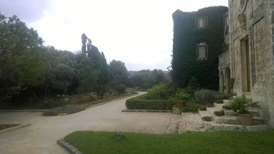
Verdala Palace🏰 castle
Building in Buskett Gardens, Malta, summer residence of the president.
Bronze age settlement
Remains of a Bronze Age settlement in Dingli, Malta.
Dingli Cliffs Viewpoint
Viewpoint on the Dingli Cliffs overlooking the sea.
Tax-Xierfa Museum🏛 museum
Museum in Dingli, Malta, about local history and culture.
Sights nearby
Frequently asked questions
Rural Heritage Trail Dingli: where is it located?
Rural Heritage Trail Dingli: what is there to see?
Rural Heritage Trail Dingli: when is the best time to visit?
Rural Heritage Trail Dingli: why is it worth visiting?

Nature
More places