Plizio Visual Lab
Tsingy of Namoroka Park
Weather…
Water temperature…
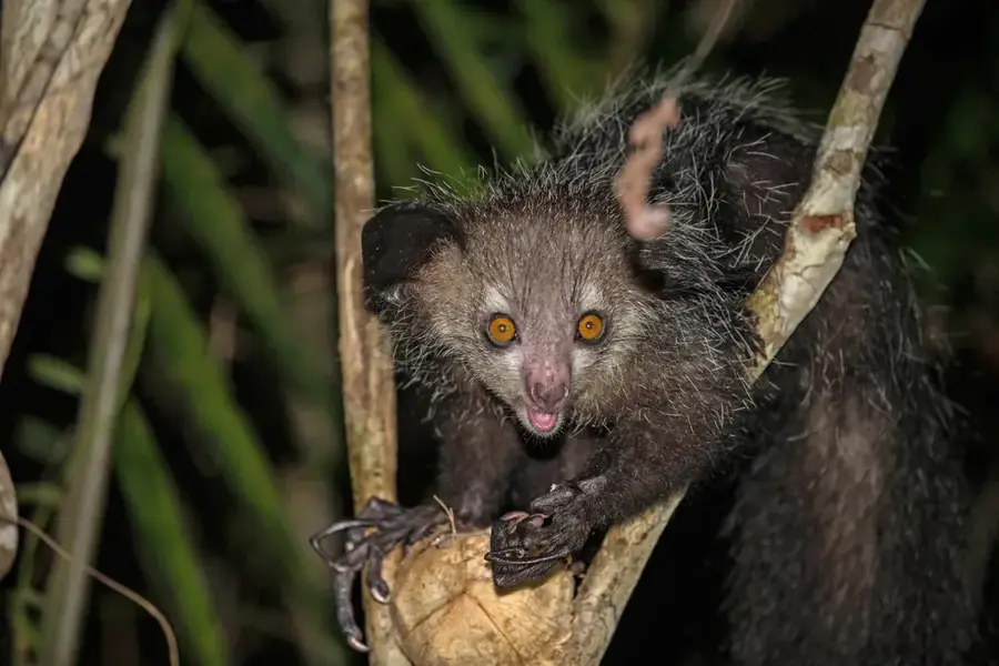
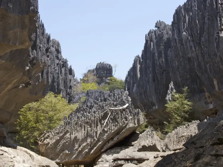
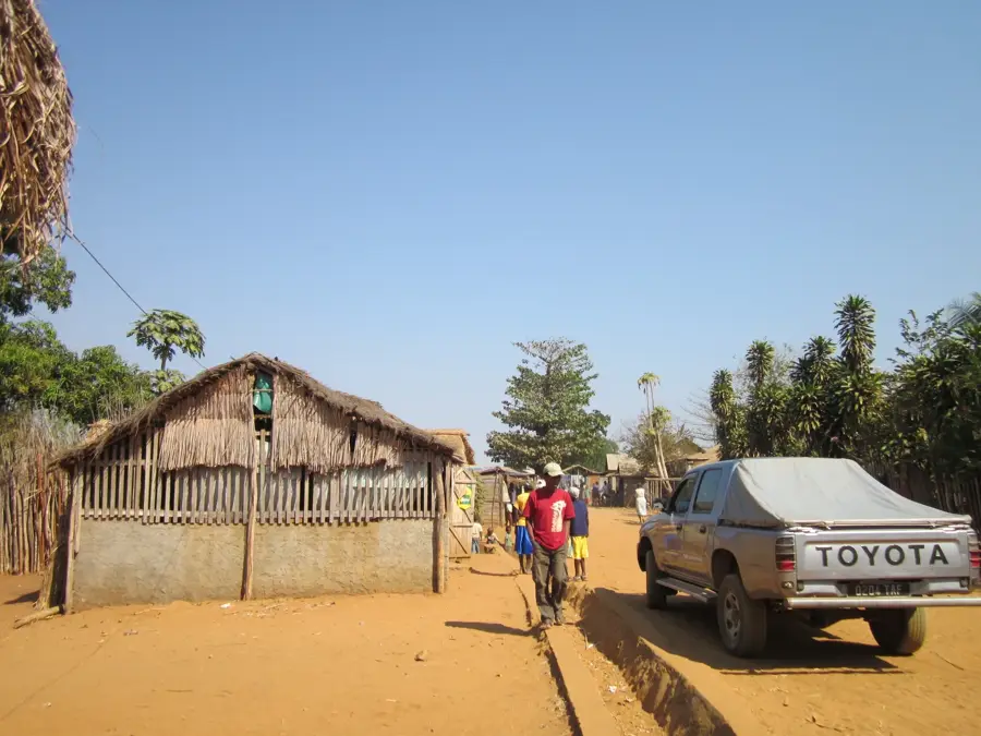
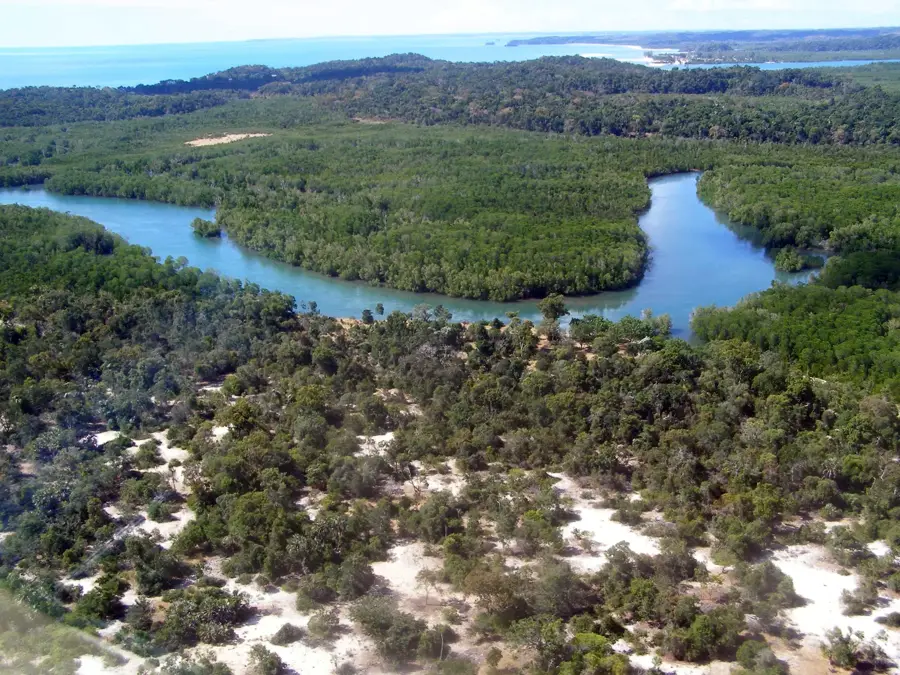
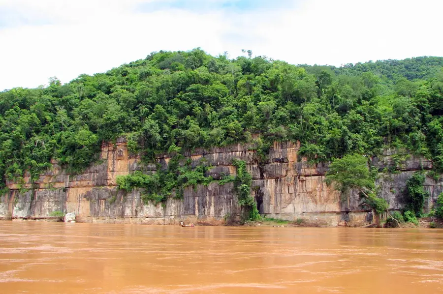
Tsingy de Namoroka National Park is located in the Boeny Region of northwestern Madagascar and is renowned for its impressive karst formations. These sharp limestone structures, known as tsingy, were formed over millions of years through erosion, creating a complex labyrinth of canyons and caves. The park was originally established in 1927 as a strict nature reserve and was declared a national park in 2002 to protect its delicate ecosystem. Geographically, the area covers 222 square kilometers and is home to a variety of endemic species, including eight lemur species and over 80 bird species. The vegetation is adapted to extreme conditions and includes rare succulents as well as monumental baobab trees. Despite its remote location, the park is a significant research area for both geologists and biologists. The climate is characterized by a pronounced dry season, during which many animal species seek refuge in the cooler cave systems.
Best time to visit & climate
The most pleasant time to visit is May–Jul.
| Jan | Feb | Mar | Apr | May | Jun | Jul | Aug | Sep | Oct | Nov | Dec | |
|---|---|---|---|---|---|---|---|---|---|---|---|---|
| Avg °C | 27 | 26 | 26 | 26 | 25 | 24 | 24 | 25 | 27 | 29 | 29 | 28 |
| Rain mm | 469 | 275 | 191 | 64 | 14 | 11 | 15 | 11 | 17 | 44 | 136 | 242 |
📋 Practical info
Geography
Facts
- Namoroka was established in 1927 as one of the island's first protected areas.
- The national park covers an area of exactly 222.27 square kilometers.
- Eight lemur species, including Von der Decken's sifaka, inhabit the area.
- Numerous undiscovered cave systems are located within the limestone cliffs.
- The region experiences a six-month dry season from May to October.
- The name Tsingy means "where one cannot walk barefoot" in the local language.
Route planner — Car & Motorhome
Where do you start? We build the route here, with stops and country notes along the way.
© OpenStreetMap contributors · OpenRouteService
Sights nearby
Frequently asked questions
Is the park family-friendly?
How long does a visit take?
What is special about this park?
Are there sanitary facilities?
Is camping allowed there?
Tsingy of Namoroka Park: where is it located?
Tsingy of Namoroka Park: when is the best time to visit?
Tsingy of Namoroka Park: why is it worth visiting?

Nearby cities


History & landmarks
Nature
More places