Plizio Visual Lab
Betsiboka River
Weather…
Water temperature…
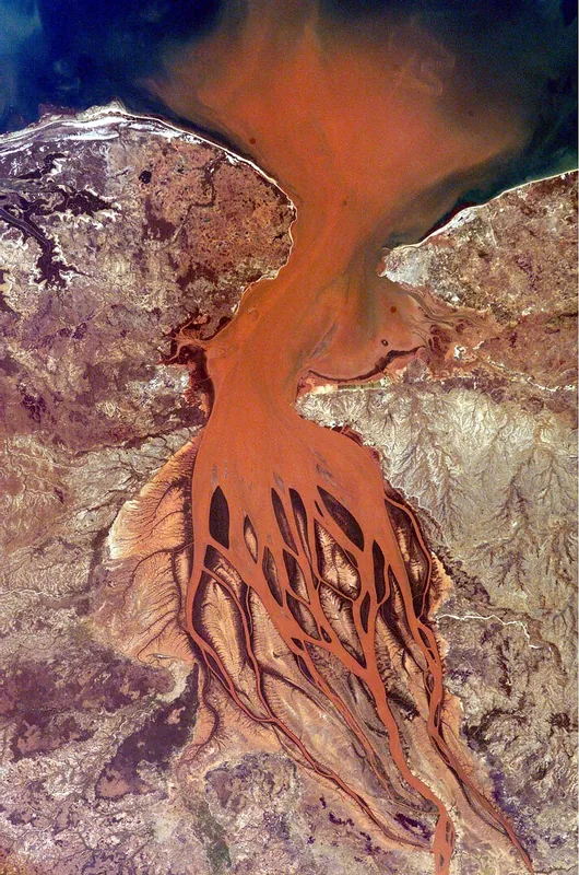
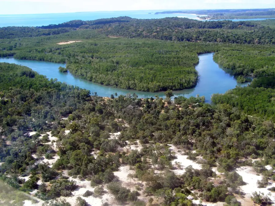
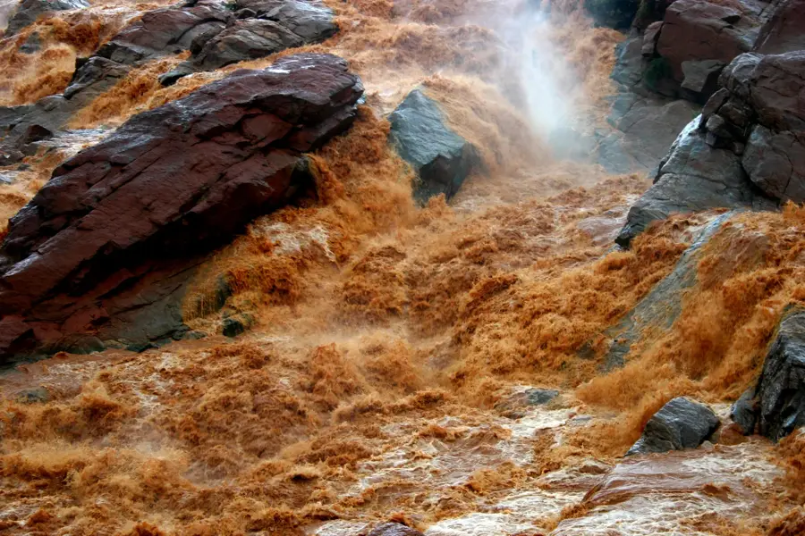
The Betsiboka is one of Madagascar's most significant rivers, stretching approximately 527 kilometers and draining large portions of the central highlands northwest into the Mozambique Channel. A striking feature of the river is its deep red color, caused by the massive amount of eroded laterite soil. This sediment load is a direct result of extensive deforestation in the river's catchment area, making the Betsiboka a symbol of the island's environmental challenges. In Bombetoka Bay, the river forms a vast delta with extensive mangrove forests that serve as vital ecosystems for fish and waterfowl. The sediment deposits in the delta are so massive that they are visible from space and increasingly hinder navigation to the port of Mahajanga. Despite these environmental issues, the river remains a vital water source for rice cultivation in the fertile plains of its lower reaches.
- Location: Madagascar
- Nearby: Amborovy (40 km)
Best time to visit & climate
The most pleasant time to visit is Jun–Aug.
| Jan | Feb | Mar | Apr | May | Jun | Jul | Aug | Sep | Oct | Nov | Dec | |
|---|---|---|---|---|---|---|---|---|---|---|---|---|
| Avg °C | 28 | 28 | 28 | 28 | 27 | 25 | 25 | 25 | 26 | 27 | 28 | 28 |
| Rain mm | 470 | 281 | 204 | 70 | 18 | 15 | 18 | 11 | 11 | 27 | 108 | 225 |
📋 Practical info
Geography
Facts
- Length: Approximately 527 km from the highlands to the coast
- Color: Distinctive deep red due to suspended laterite sediments
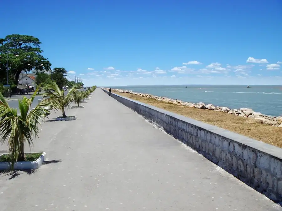
- Delta: Empties into Bombetoka Bay near Mahajanga
- Environment: Soil erosion so severe it is visible from space
- Mangroves: Home to one of the largest mangrove systems on the island
- Economy: Vital water source for rice farming in the Boeny basin
Explore nearby
Notable places around
Route planner — Car & Motorhome
Where do you start? We build the route here, with stops and country notes along the way.
© OpenStreetMap contributors · OpenRouteService
Sights nearby
Frequently asked questions
What is the Betsiboka River known for?
Can tourists navigate the Betsiboka River?
What is the climate like near the Betsiboka?
Is the Betsiboka River suitable for swimming?
What is there to see near the river?
Betsiboka River: where is it located?
Betsiboka River: when is the best time to visit?
Betsiboka River: why is it worth visiting?

Nearby cities


History & landmarks
More places