Plizio Visual Lab
Masoala Rainforest
Weather…
Water temperature…
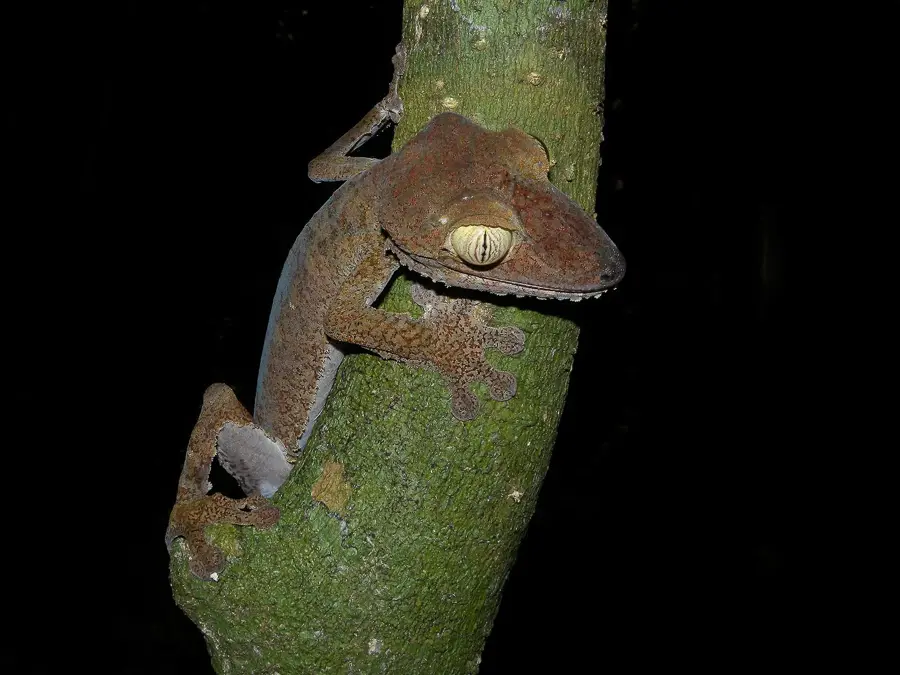
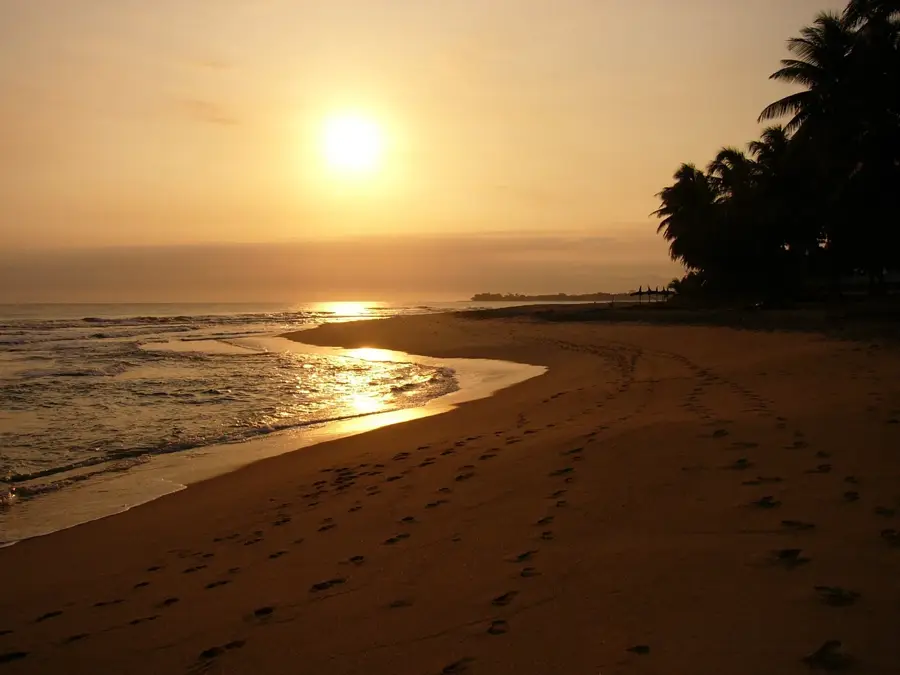
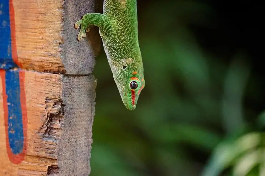
Masoala National Park, located on the northeastern coast of Madagascar, is the island's largest protected area, encompassing around 2,300 square kilometers of land and 100 square kilometers of marine parks. Established in 1997, it has been a UNESCO World Heritage site since 2007 as part of the 'Rainforests of the Atsinanana'. The park protects an extraordinary variety of habitats, from primary rainforest meeting the sea level to mangroves and coral reefs. Masoala is famous for the Red Ruffed Lemur, a species found almost exclusively on this peninsula. The region receives massive amounts of rainfall, exceeding 5,000 millimeters per year, fostering lush, evergreen vegetation. Three marine parks within the reserve protect vital breeding grounds for humpback whales, which visit Antongil Bay between July and September. The park's remoteness makes it one of the most pristine refuges for Malagasy biodiversity, although access is only possible by boat or small aircraft.
- Location: Madagascar
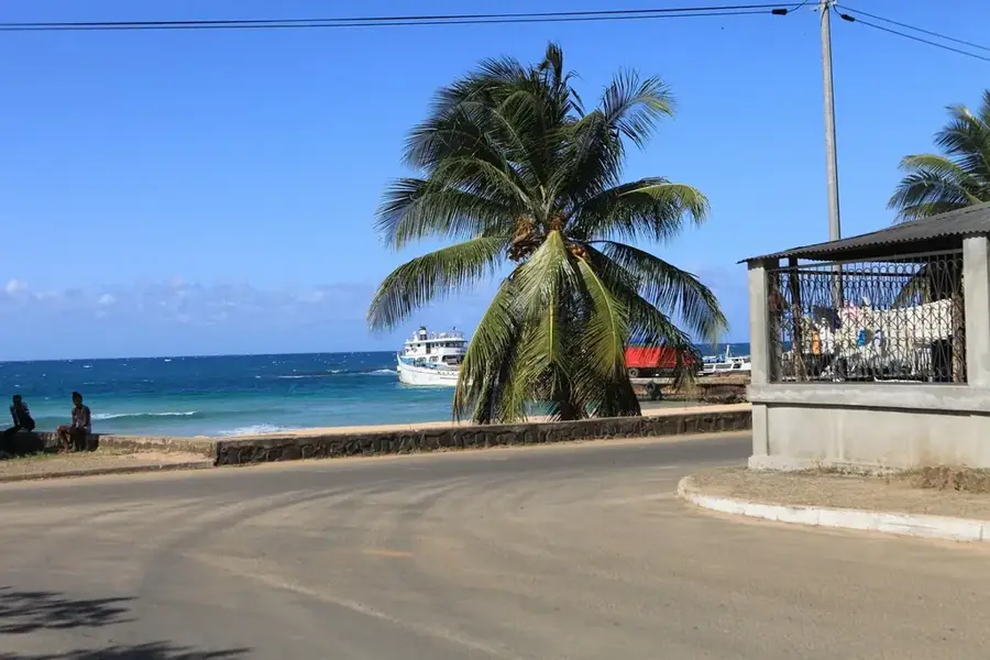
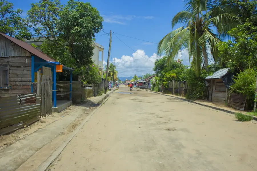
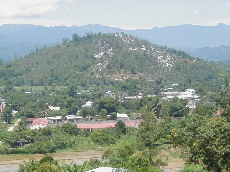
- Nearby: Antalaha (24 km)
Best time to visit & climate
The most pleasant time to visit is Aug–Oct.
| Jan | Feb | Mar | Apr | May | Jun | Jul | Aug | Sep | Oct | Nov | Dec | |
|---|---|---|---|---|---|---|---|---|---|---|---|---|
| Avg °C | 25 | 25 | 24 | 23 | 22 | 20 | 19 | 19 | 20 | 22 | 23 | 24 |
| Rain mm | 302 | 245 | 333 | 219 | 159 | 147 | 141 | 110 | 89 | 93 | 119 | 227 |
📋 Practical info
Geography
Facts
- Size: Largest national park in Madagascar (2,300 km²)
- Heritage: Part of the UNESCO Rainforests of the Atsinanana
- Fauna: Main habitat of the endangered Red Ruffed Lemur
- Marine biology: Includes three protected marine reserves
- Rainfall: Wettest region of the island (>5,000 mm per year)
- Whales: Critical mating ground for humpback whales in Antongil Bay
Explore nearby
Notable places around
Route planner — Car & Motorhome
Where do you start? We build the route here, with stops and country notes along the way.
© OpenStreetMap contributors · OpenRouteService
Sights nearby
Frequently asked questions
Why is Masoala so special?
How do I get to the park?
Is there accommodation there?
What equipment is necessary?
Can I see whales there?
Masoala Rainforest: where is it located?
Masoala Rainforest: when is the best time to visit?
Masoala Rainforest: why is it worth visiting?

Nearby cities
Nature
More places