Plizio Visual Lab
Widdebierg
Weather…
Water temperature…
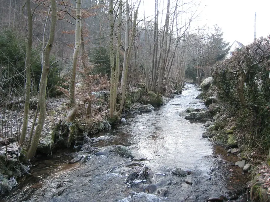
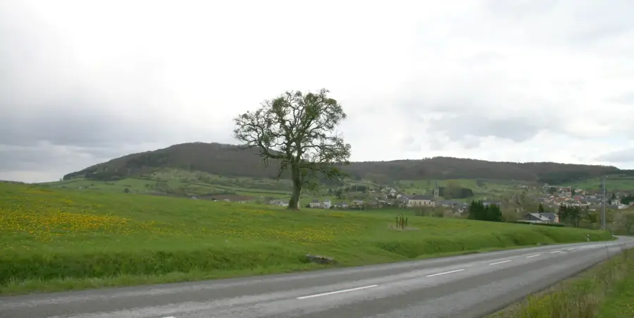
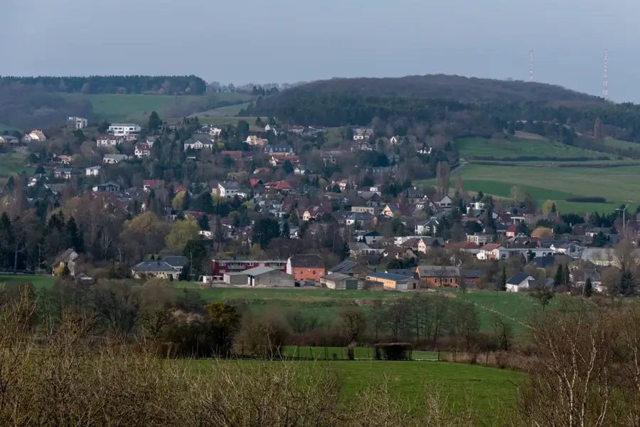
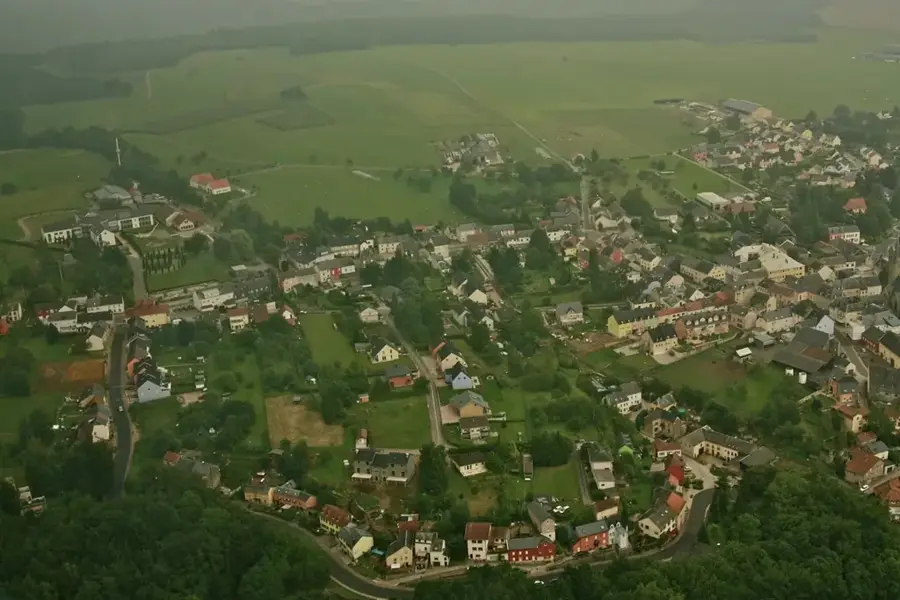
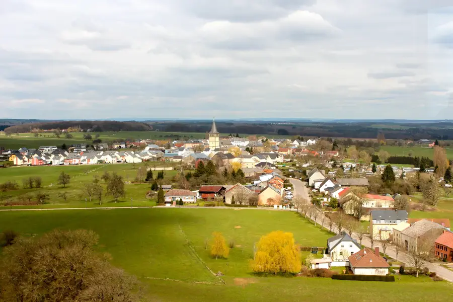
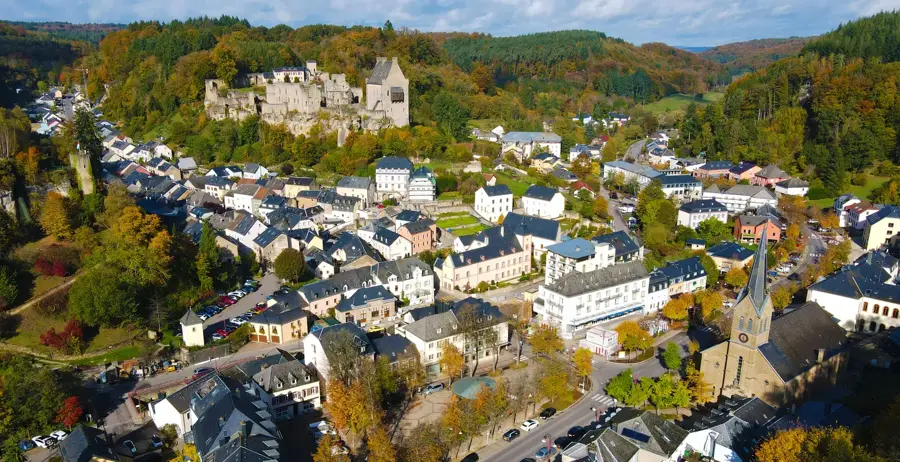
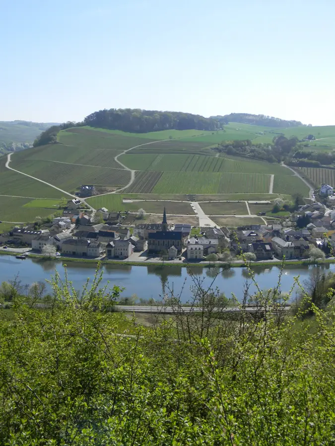
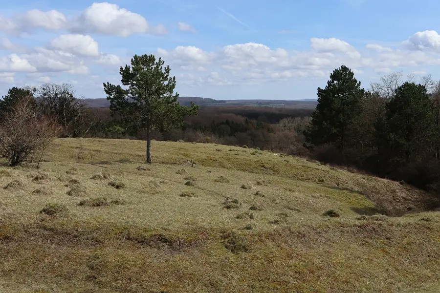
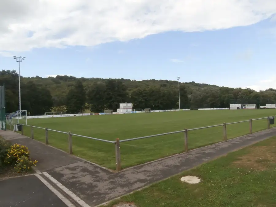
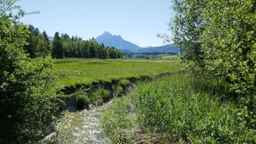
Widdebierg is a prominent hill in eastern Luxembourg, located near the villages of Betzdorf and Flaxweiler. Reaching an altitude of 387 meters above sea level, it is one of the most significant witness hills from the Triassic period in this region. Geologically, Widdebierg consists predominantly of shell limestone, which clearly distinguishes it from the sandstone formations of the nearby Mullerthal. The summit of the hill is covered by dense mixed forest, serving as a valuable recreation area and an important habitat for numerous animal species. Historically, there are indications of Roman settlement traces in the vicinity, pointing to the early strategic importance of the height. At the foot of the hill are springs that are important for regional water supply. Hikers appreciate Widdebierg for its tranquility and the views over the Syrtal and the vast agricultural landscape of the Gutland. The hill is a protected area where the conservation of natural flora and fauna is paramount.
- Location: Luxembourg
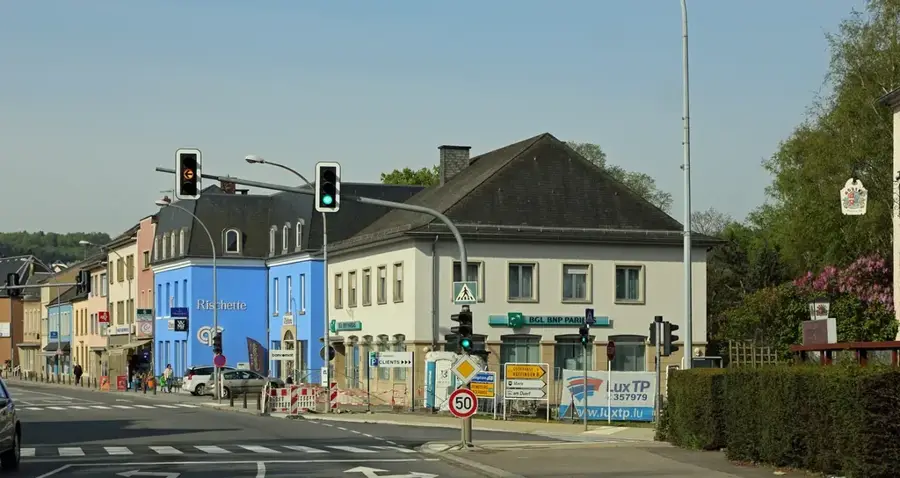
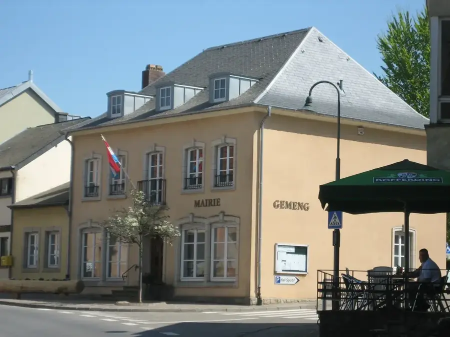
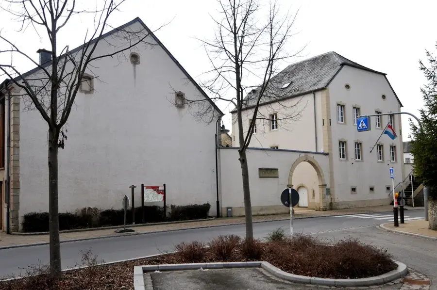
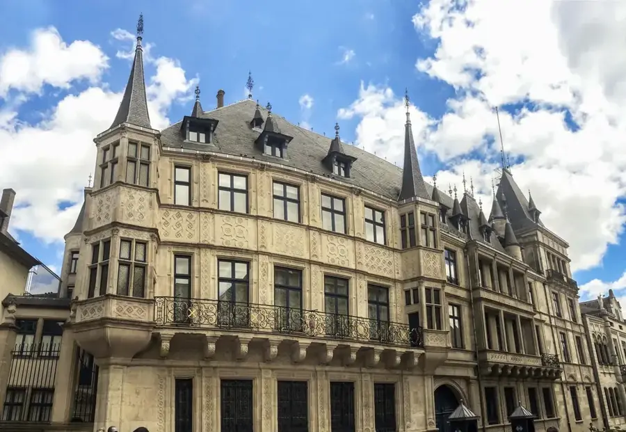
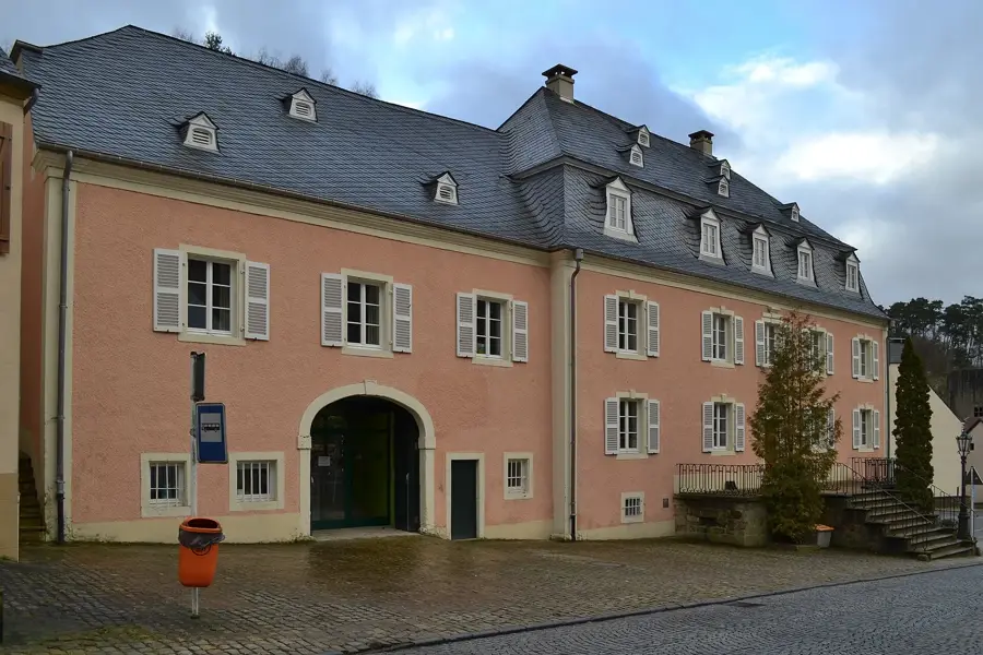
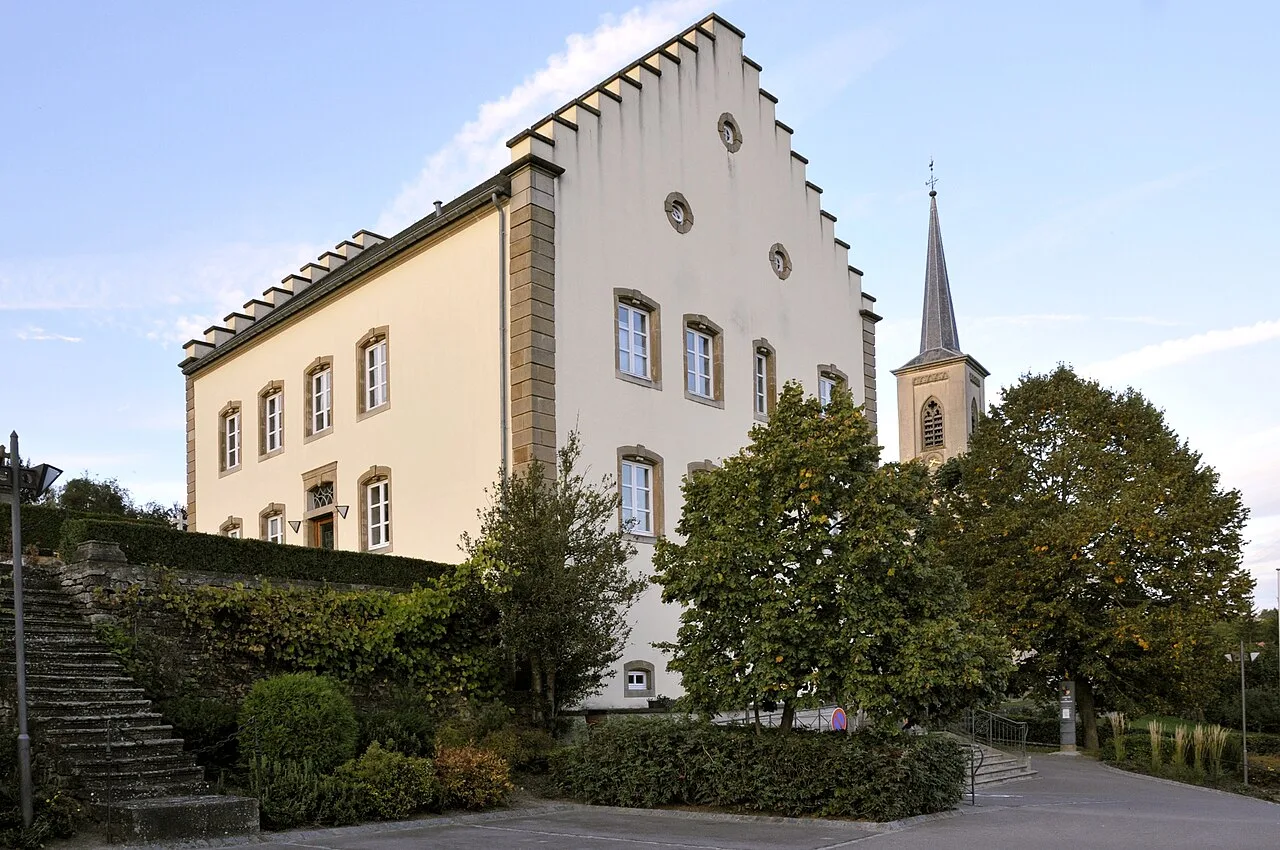
- Top sights: Saint-Martin · Saints-Côme-et-Damien · Château de Betzdorf
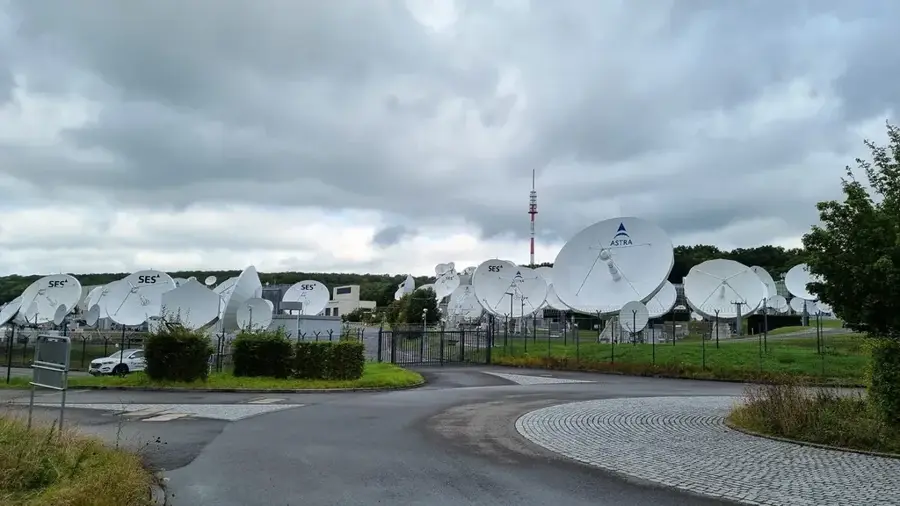
- Nearby: Niederanven (7 km)
Best time to visit & climate
The most pleasant time to visit is Jun–Aug.
| Jan | Feb | Mar | Apr | May | Jun | Jul | Aug | Sep | Oct | Nov | Dec | |
|---|---|---|---|---|---|---|---|---|---|---|---|---|
| Avg °C | 1 | 1 | 5 | 9 | 13 | 17 | 19 | 19 | 15 | 10 | 5 | 2 |
| Rain mm | 67 | 57 | 57 | 46 | 70 | 68 | 65 | 72 | 56 | 65 | 68 | 79 |
📋 Practical info
Geography
Facts
- The maximum height of Widdebierg is 387 meters above sea level.
- Geologically, the hill belongs to the Muschelkalk (shell limestone) formation.
- It is situated within the territories of Betzdorf and Flaxweiler municipalities.
- The hill serves as a water protection zone for local springs.
- Widdebierg is a popular viewpoint overlooking the Syrtal valley.
- The summit is almost entirely forested, providing habitat for deer and wild boar.
Explore nearby
Notable places around
Route planner — Car & Motorhome
Where do you start? We build the route here, with stops and country notes along the way.
© OpenStreetMap contributors · OpenRouteService
Sights in the town Widdebierg (8)
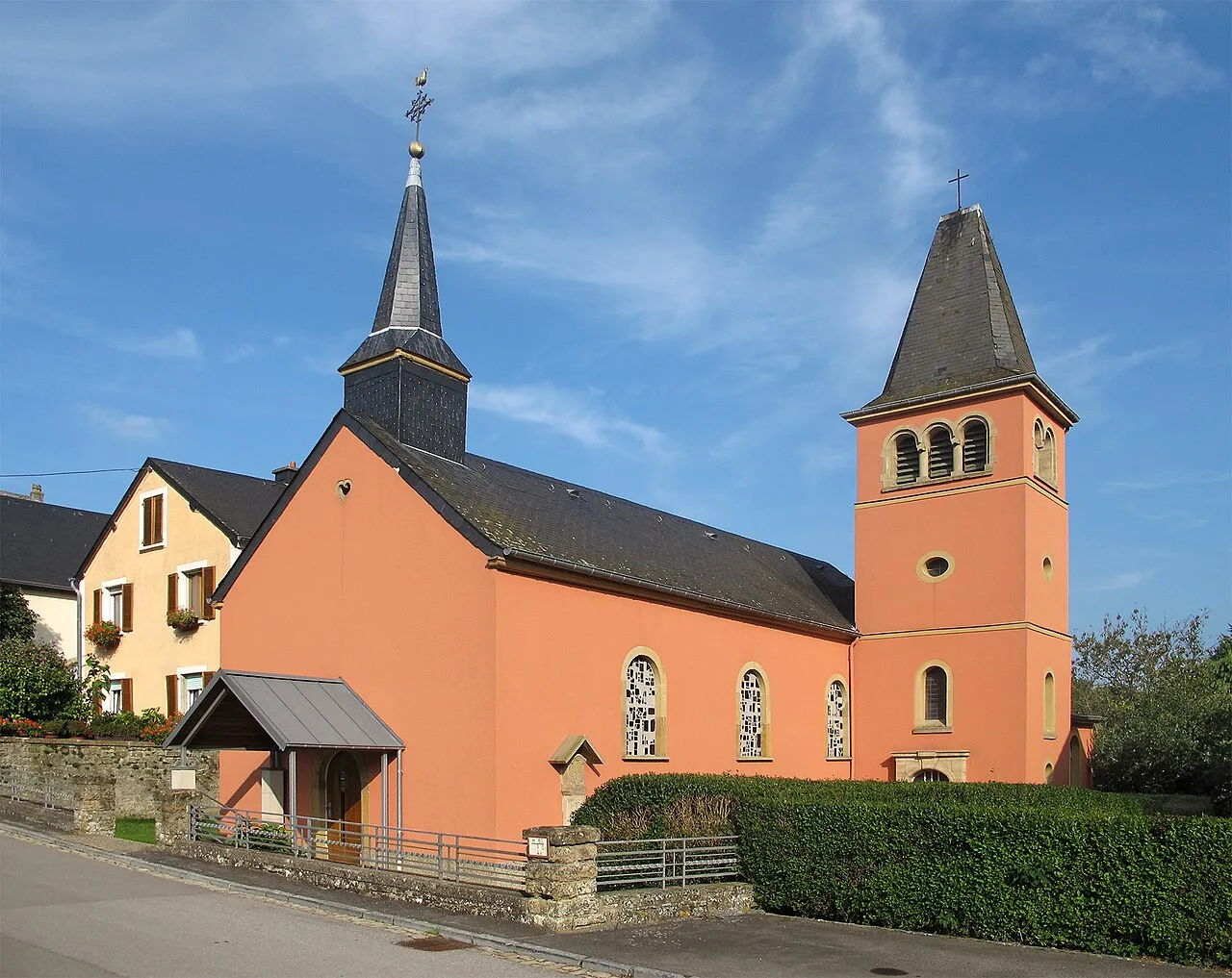
Saint-Wendelin
Church building in Luxembourg, dedicated to Saint Wendelin.
Widdebierg Steekaul
Former quarry on the Widdebierg.
Widdebierg
Mountain in Luxembourg, prominent elevation.
Tonn
Archaeological site with remains from the past.
Sights nearby
Frequently asked questions
Where is Widdebierg located?
What makes nature there special?
Is there an educational trail?
Is flower picking allowed?
How high is Widdebierg?
Widdebierg: where is it located?
Widdebierg: what is there to see?
Widdebierg: when is the best time to visit?
Widdebierg: why is it worth visiting?

Nearby cities


History & landmarks
Nature

More places