Plizio Visual Lab
Syre River
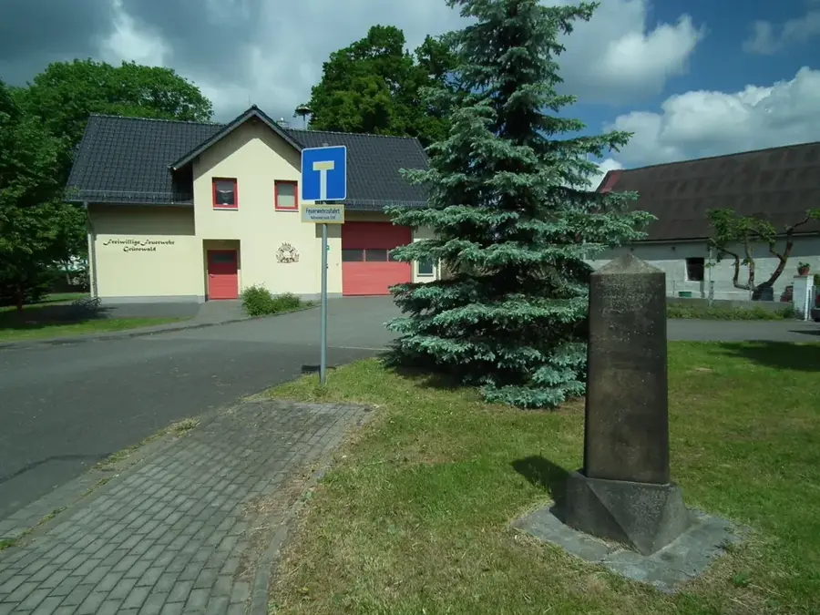
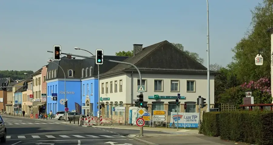
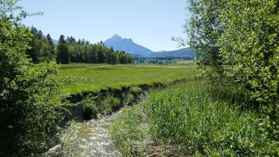
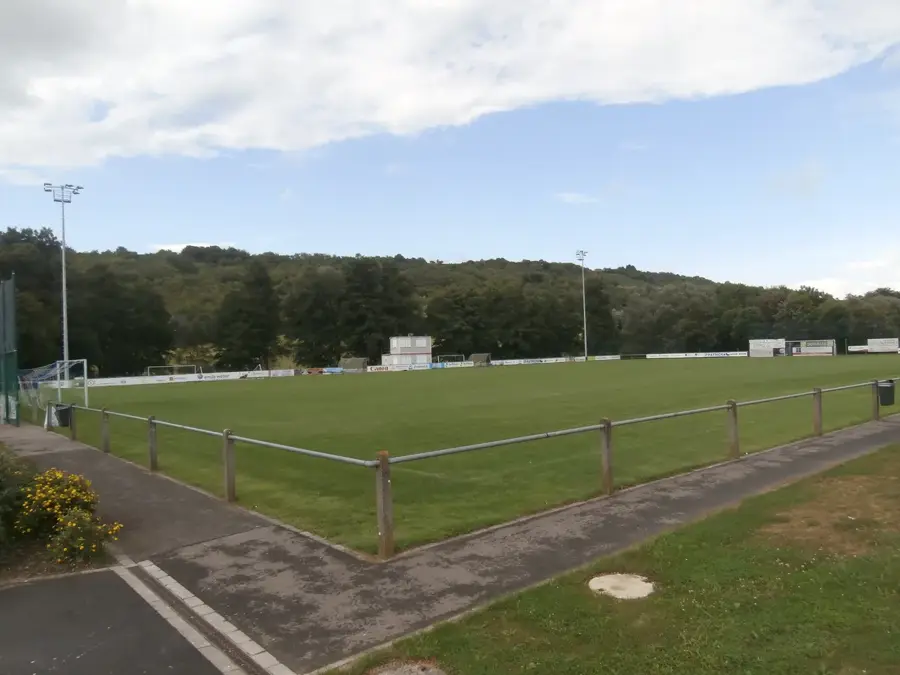
The Syre is a 32-kilometer-long river in eastern Luxembourg, flowing as a right-bank tributary into the Moselle. It originates near Syren at an altitude of approximately 320 meters and traverses a diverse landscape ranging from the gentle hills of the Guttland to rugged rock formations. The 'Schlammwis' nature reserve near Uebersyren is of particular significance; it is a sprawling wetland in the Syre valley serving as a vital resting spot for migratory birds and a breeding ground for rare avian species. Along its course, the Syre passes through key towns such as Moutfort, Schuttrange, and Manternach. In its lower reaches near Manternach, the river has carved deeply into muschelkalk limestone cliffs, forming a narrow gorge accessible via the 'Manternacher Fiels' hiking trail. Historically, the Syre powered numerous grain and sawmills, some remains of which are now heritage-protected. Its confluence with the Moselle at Mertert marks an important point for regional water management and shipping.
- Location: Luxembourg
- Top sights: Schlammwiss · Saint-Pierre · Plane Spotting006
- Nearby: Lenningen (6 km)
Best time to visit & climate
The most pleasant time to visit is Jun–Aug.
| Jan | Feb | Mar | Apr | May | Jun | Jul | Aug | Sep | Oct | Nov | Dec | |
|---|---|---|---|---|---|---|---|---|---|---|---|---|
| Avg °C | 1 | 1 | 5 | 9 | 13 | 17 | 19 | 19 | 15 | 10 | 5 | 2 |
| Rain mm | 67 | 57 | 57 | 46 | 70 | 68 | 65 | 72 | 56 | 65 | 68 | 79 |
📋 Practical info
Geography
Facts
- The total length of the Syre is approximately 32 kilometers.
- The source is located near Syren in the Canton of Luxembourg.
- The river joins the Moselle at Mertert.
- The drainage basin covers about 193 square kilometers.
- The Syre valley contains the largest reed bed in Luxembourg.
- Manternach is famous for its gorge landscape along the Syre.
Explore nearby
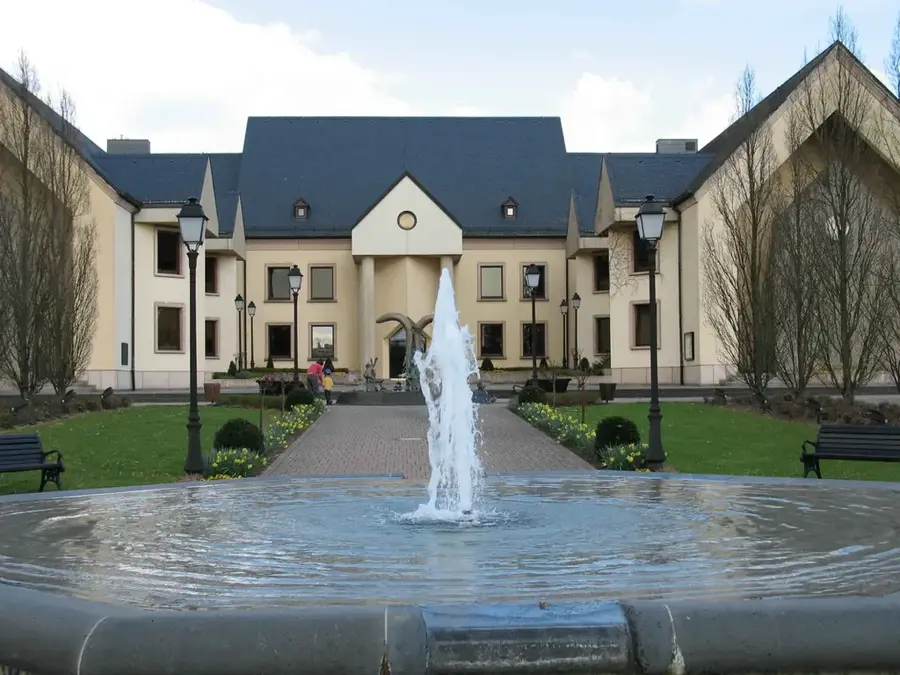
Notable places around
Route planner — Car & Motorhome
Where do you start? We build the route here, with stops and country notes along the way.
© OpenStreetMap contributors · OpenRouteService
Sights in the town Syre River (10)
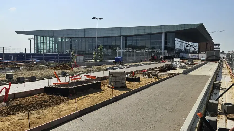
Plane spotting
Spot for plane watching next to the runway.
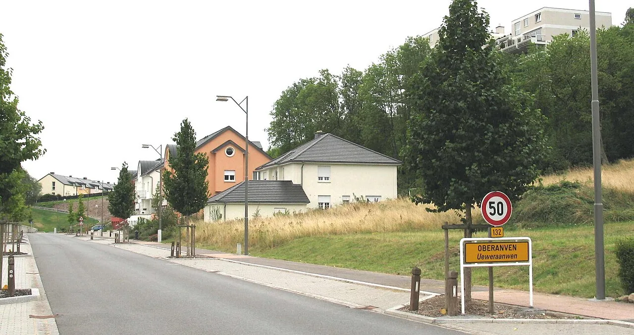
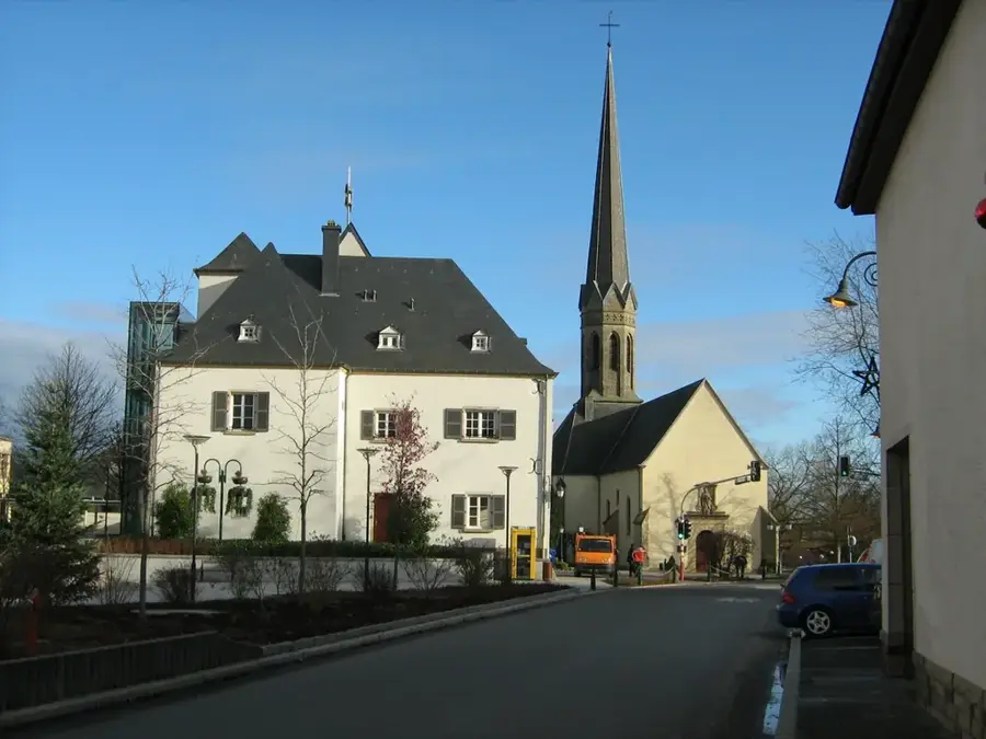
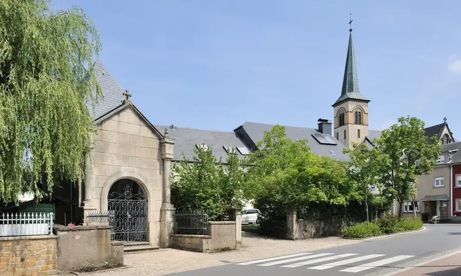
Assomption de la Bienheureuse-Vierge-Marie
Church in Niederanven dedicated to the Assumption.
Plane Spotting005
Another viewpoint for observing takeoffs and landings.
Birelergronn
Nature reserve with wet meadows and rare plant species.
Centre de Loisirs Loisi
Leisure centre offering cultural activities and events.
Schlass Schraasseg🏰 castle
Castle in Schrassig surrounded by parkland.
Sights nearby
Frequently asked questions
Where does the Syr flow?
Are there nature reserves on the Syr?
Can you cycle along the Syr?
Where does the Syr flow into?
What birds can be found in the Syr valley?
Syre River: where is it located?
Syre River: what is there to see?
Syre River: when is the best time to visit?
Syre River: why is it worth visiting?

Nearby cities


History & landmarks
Nature
More places