Plizio Visual Lab
Kayl
ℹ️Practical info — Kayl
▾
🌤 Weather — 5 days
📍 Nearby
Sights nearby
💡 Tips
- A great starting point to explore the Minett region's industrial heritage.
- The National Monument to the Miners in nearby Tétange is an essential visit to understand the local history.
- Trails in the former open-cast mines can be uneven, wear sturdy walking shoes.
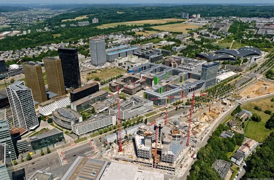
- Public transport provides quick connections to the larger city of Esch-sur-Alzette.
🍽 Food
Warm up with this traditional green bean soup in classic Minett cafes.
Look for local restaurants known for serving generous, traditional workers' portions.
🛍 Shopping · 🧘 Quiet spots
Check out the small independent stores along the main street for unique finds.
Often available in local grocery stores, it's a sweet taste of the surrounding nature reserves.
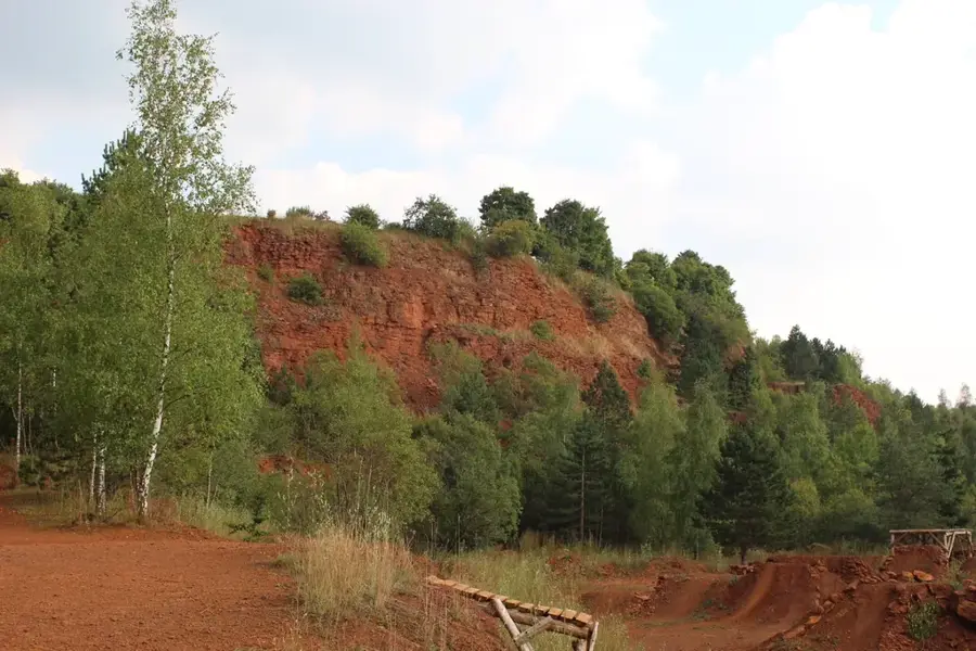
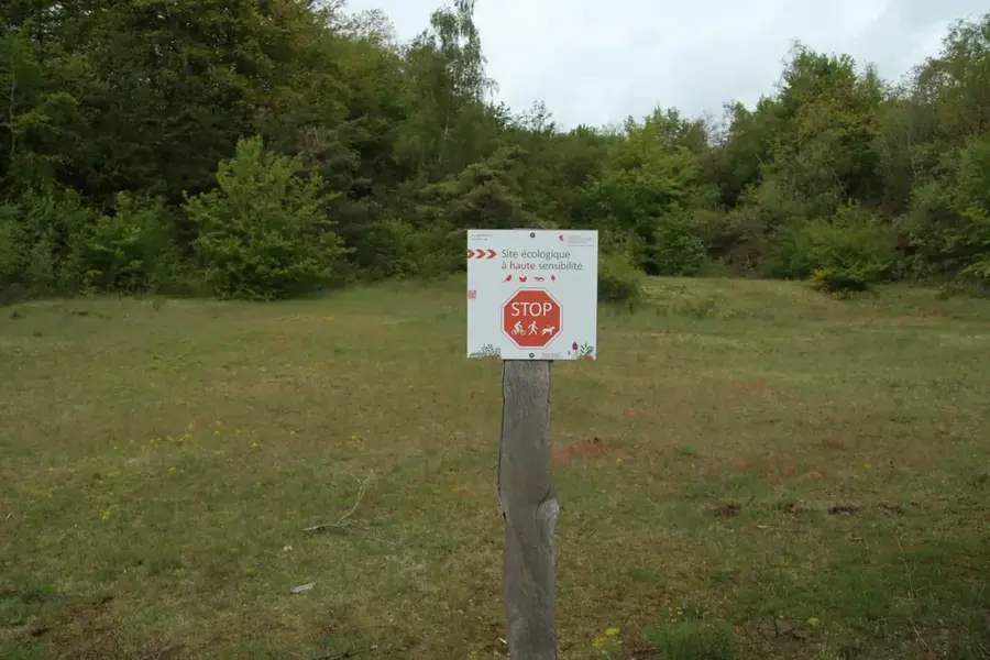
A fascinating area to walk among the red rocks and see nature reclaiming the former mines.
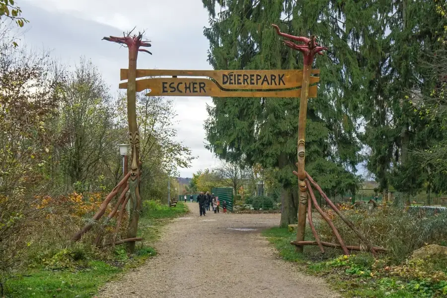
A quiet green space right in the town center, well-suited for a short break.
Water temperature…
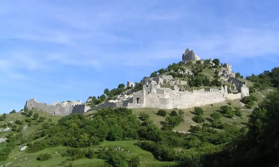
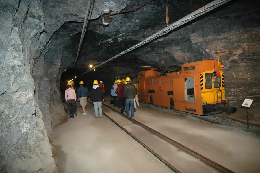
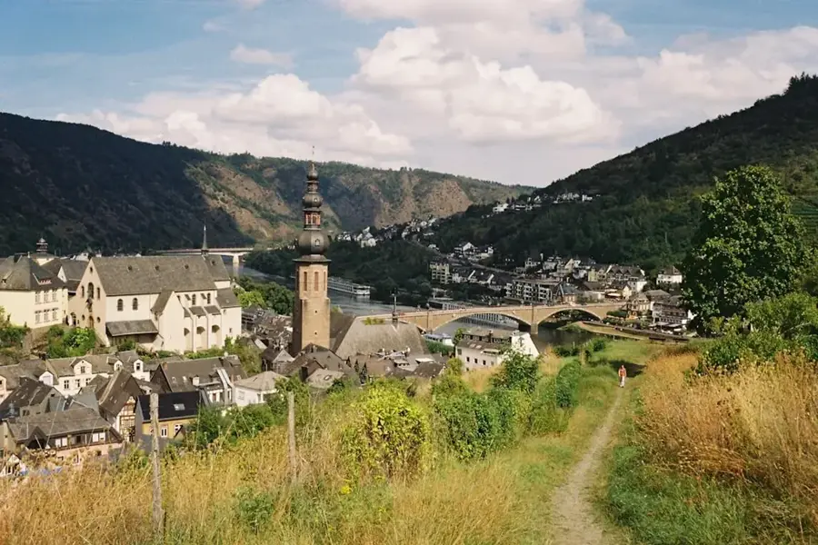
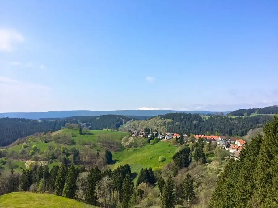
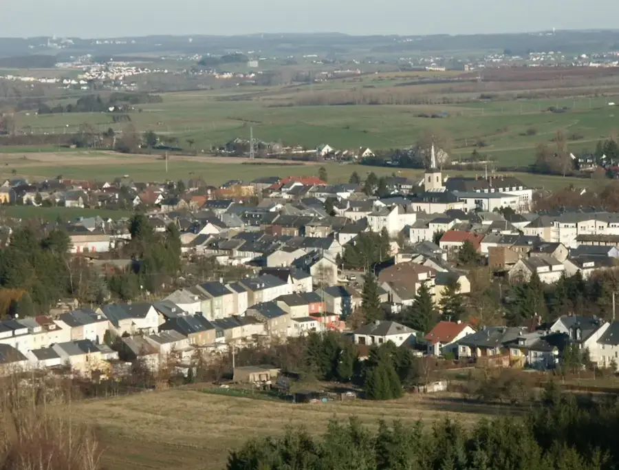
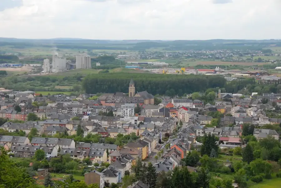
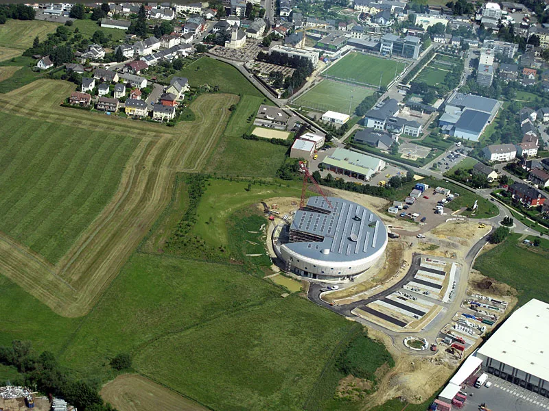
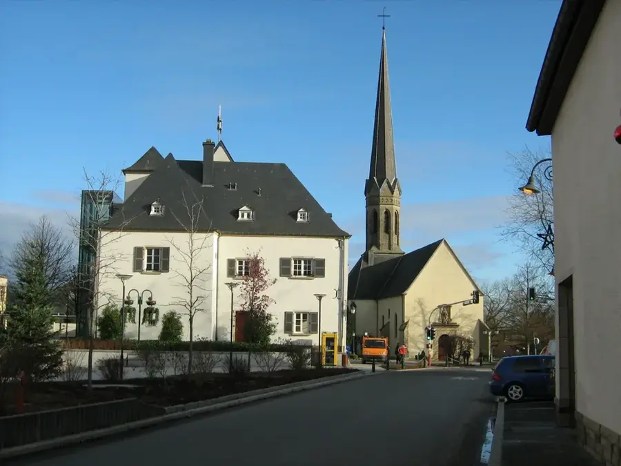
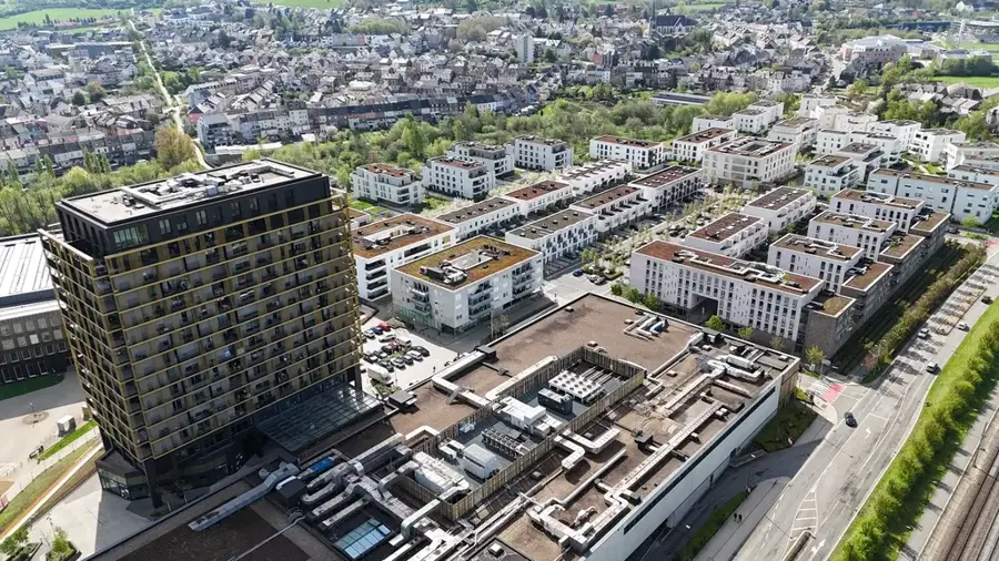
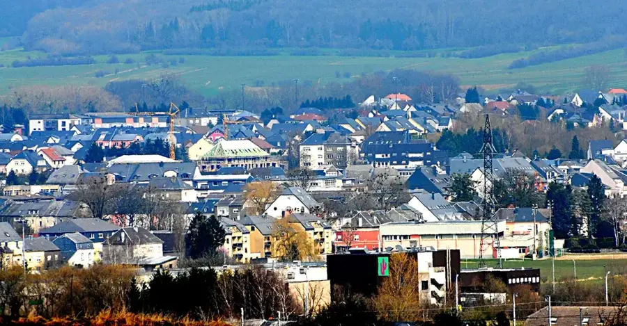
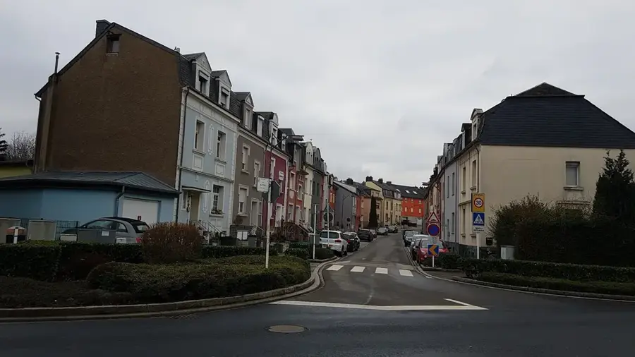
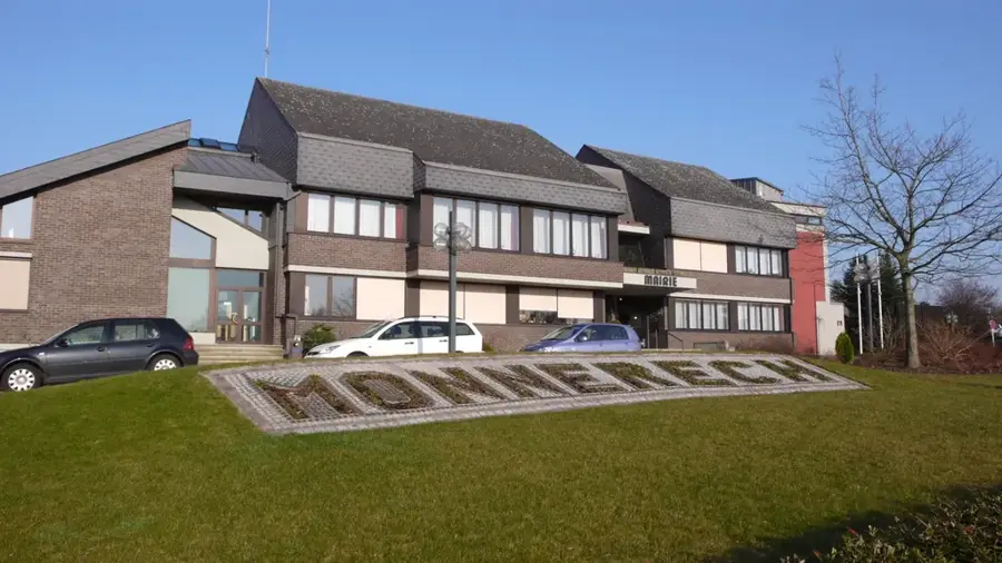
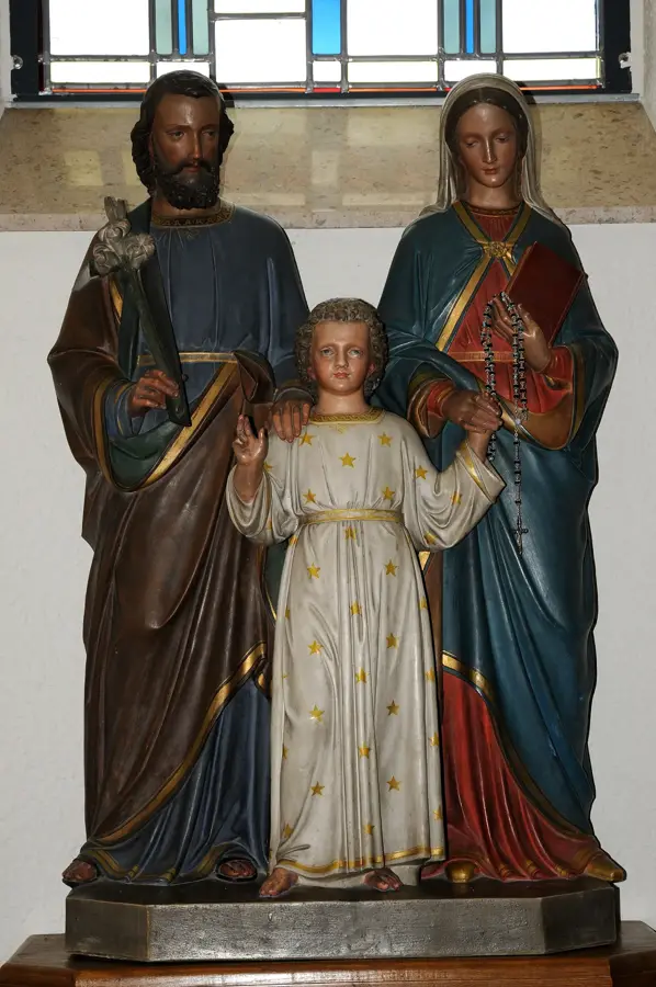
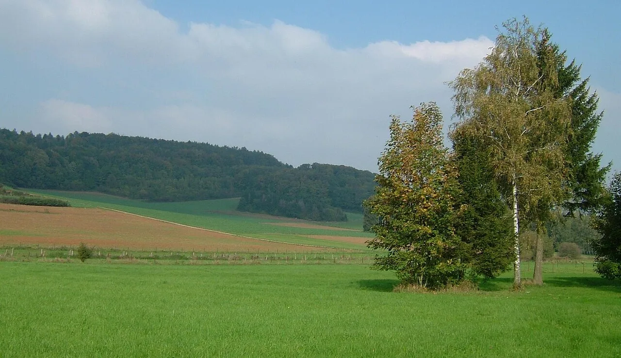
Kayl is a tradition-steeped municipality in the Luxembourgish mining region of Terres Rouges, consisting of the towns Kayl and Tétange. The commune's history is inextricably linked to iron ore mining, which economically dominated the region for over a century. A significant landmark is the National Miners' Monument on the 'Gingent' hill, which commemorates the victims of mining accidents and features sweeping views over the Alzette valley. Nearby is the 'Léiffrächen' pilgrimage site, featuring a statue of the Virgin Mary inside a former mine, serving as an important religious and cultural center. Today, Kayl has transitioned from its industrial past into a modern residential community, with the restoration of former open-cast mining areas providing new recreational spaces. The municipality is characterized by an active community life and modern leisure facilities. The wooded surroundings are good for extensive hiking and mountain biking. Kayl proudly preserves its industrial heritage while looking forward to a sustainable future.
- Location: Luxembourg
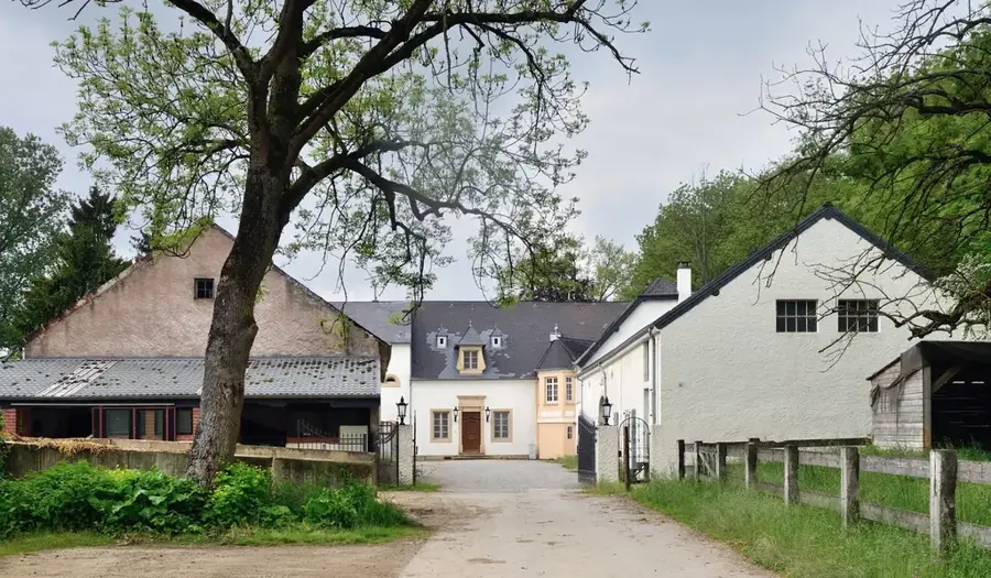
- Top sights: Burg Kayl (13th century) · Schurel · Oppidum de Montjean
- Nearby: Esch-sur-Alzette (4 km)
- Population: ~4.396
Best time to visit & climate
The most pleasant time to visit is Jun–Aug.
| Jan | Feb | Mar | Apr | May | Jun | Jul | Aug | Sep | Oct | Nov | Dec | |
|---|---|---|---|---|---|---|---|---|---|---|---|---|
| Avg °C | 1 | 1 | 5 | 9 | 13 | 17 | 19 | 19 | 15 | 10 | 5 | 2 |
| Rain mm | 67 | 57 | 57 | 46 | 70 | 68 | 65 | 72 | 56 | 65 | 68 | 79 |
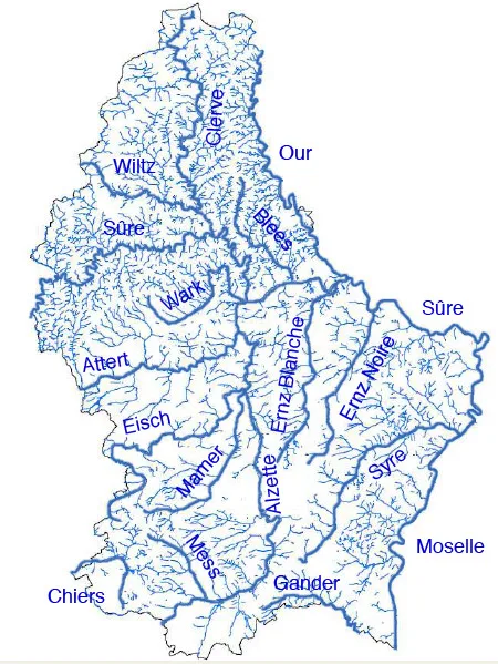
Geography
Facts
- The national miners' monument was inaugurated in the year 1957.
- The Léiffrächen pilgrimage site is dedicated to the patron saint of miners.
- Kayl and Tétange together form the municipality with approx. 9,700 residents.
- The Kaylbach stream flows through the center of both towns.
- The total area of the Kayl municipality is 14.86 square kilometers.
- The first recorded mention of Kayl dates back to the year 1235.
Explore nearby
Notable places around
Route planner — Car & Motorhome
Where do you start? We build the route here, with stops and country notes along the way.
© OpenStreetMap contributors · OpenRouteService
Sights in the town Kayl (8)
Frequently asked questions
What is the National Miners' Monument?
Is there a pilgrimage site there?
Can you go hiking in Kayl?
What is the 'Schungfabrik'?
Are there parks in Kayl?
Kayl: where is it located?
Kayl: what is there to see?
Kayl: when is the best time to visit?
Kayl: why is it worth visiting?

Nearby cities


History & landmarks
Nature
More places