Plizio Visual Lab
Mess River
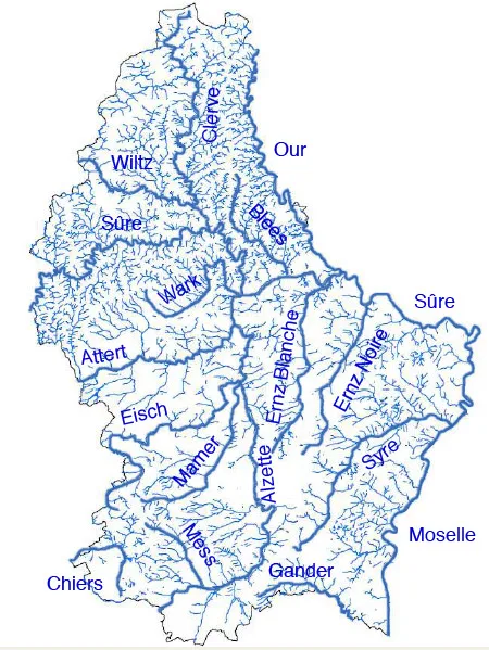
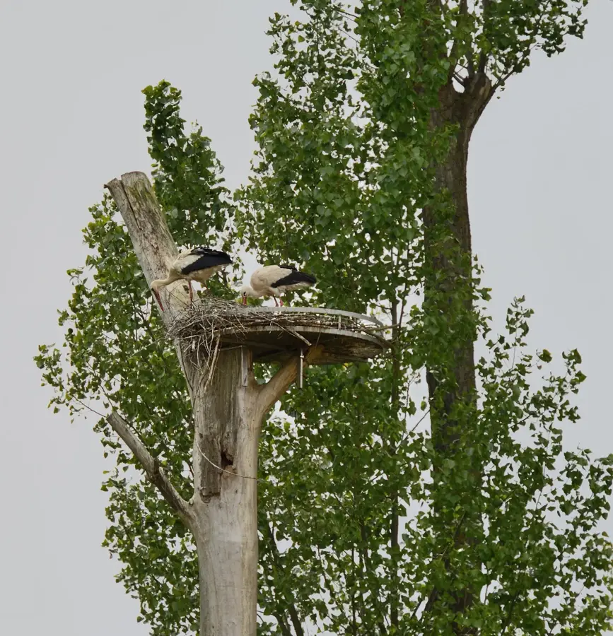
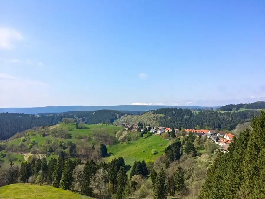
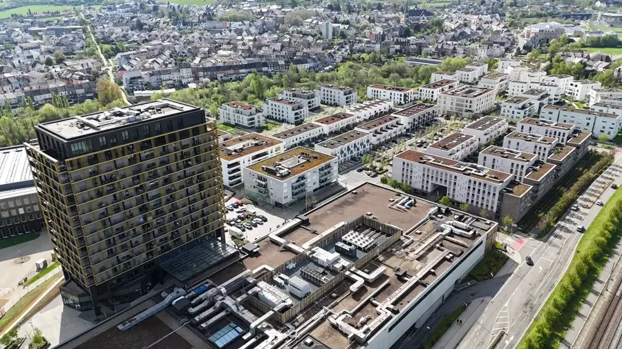
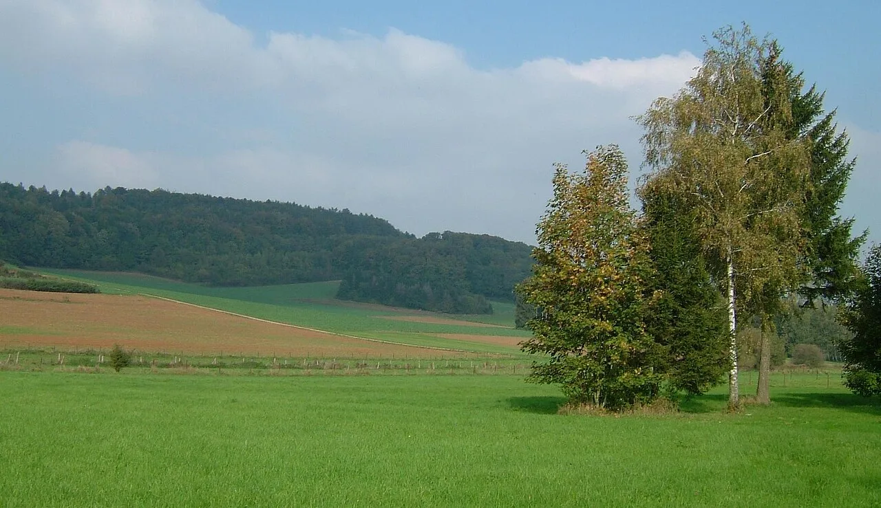
The Mess is a small yet ecologically significant watercourse in southern Luxembourg, flowing through the heart of the Gutland region. Stretching for about 11 kilometers before joining the Alzette, this river plays a crucial role in the local drainage system and supports a variety of wetland habitats. The landscape surrounding the Mess is defined by rolling hills and expansive agricultural fields, offering a glimpse into Luxembourg's rural heritage. Recent environmental initiatives have focused on renaturing sections of the river, restoring its natural bends and improving biodiversity. These efforts have made the Mess valley a popular spot for nature lovers and birdwatchers, who can enjoy the peaceful atmosphere and the sight of rare species returning to the area. The gentle terrain makes it particularly suitable for easy hikes and cycling trips through a quintessential Luxembourgish countryside.
- Location: Luxembourg
- Top sights: Betteling · Saint-Martin · Réserve naturelle Dumontshaff
- Nearby: Dudelange (5 km)
Best time to visit & climate
The most pleasant time to visit is Jun–Aug.
| Jan | Feb | Mar | Apr | May | Jun | Jul | Aug | Sep | Oct | Nov | Dec | |
|---|---|---|---|---|---|---|---|---|---|---|---|---|
| Avg °C | 1 | 1 | 5 | 9 | 13 | 17 | 19 | 19 | 15 | 10 | 5 | 2 |
| Rain mm | 67 | 57 | 57 | 46 | 70 | 68 | 65 | 72 | 56 | 65 | 68 | 79 |
📋 Practical info
Geography
Explore nearby
Notable places around
Route planner — Car & Motorhome
Where do you start? We build the route here, with stops and country notes along the way.
© OpenStreetMap contributors · OpenRouteService
Sights in the town Mess River (10)
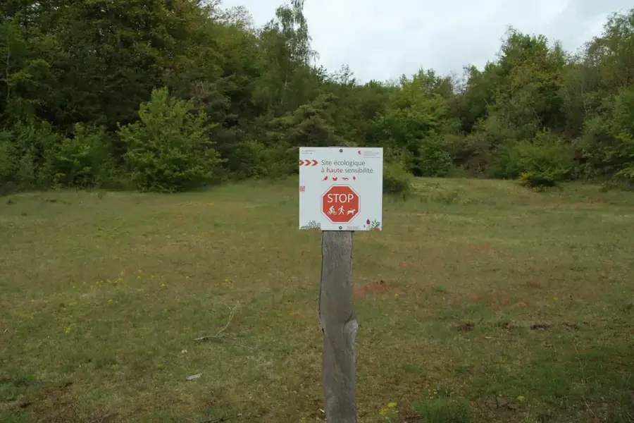
Réserve naturelle Brill
Nature reserve, conserving wetlands and rare plants.
Réserve naturelle Lalléngerbierg - Brucherbierg
Nature reserve, protecting forest and grassland areas.
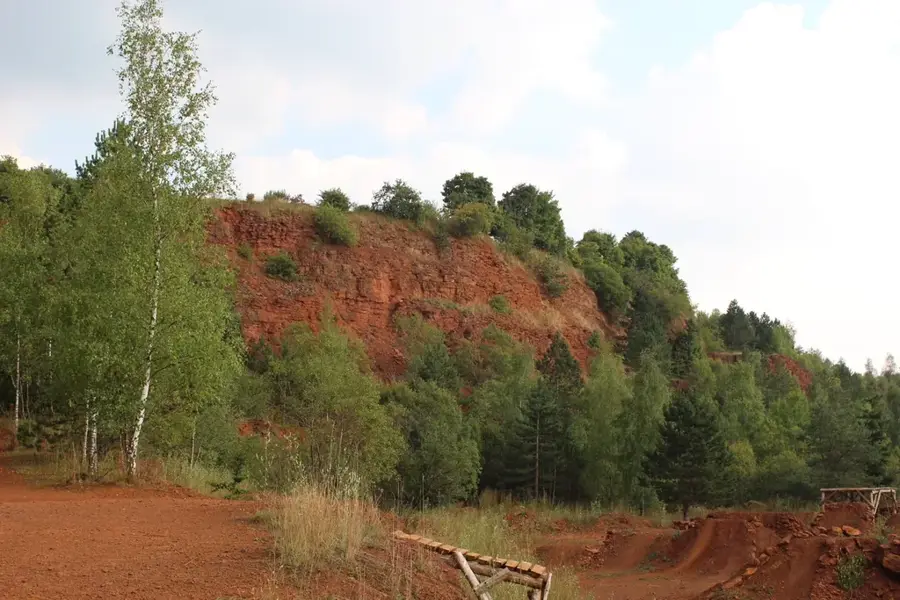
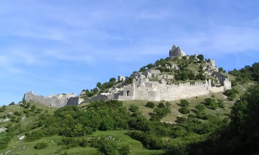
Eisenerzgrube
Ruins of a former iron ore mine, relic of mining history.
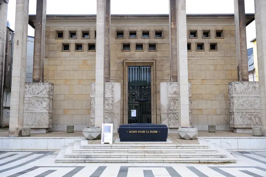
Saint-Éloi
Church or chapel in the Mess valley, dedicated to Saint Eligius.
Fraihatsbam vun 1939
Monument, tree or commemorative stone from 1939.
Beim Nessert
Cultural centre in the Mess valley, venue for artistic events.
Sights nearby
Frequently asked questions
Where does the Mess river rise?
Into which river does the Mess flow?
Can you fish in the Mess?
Which towns lie on the Mess?
Are there hiking trails along the river?
Mess River: where is it located?
Mess River: what is there to see?
Mess River: when is the best time to visit?
Mess River: why is it worth visiting?

Nearby cities

History & landmarks
Nature
More places