Plizio Visual Lab
Rumelange
ℹ️Practical info — Rumelange
▾
🌤 Weather — 5 days
📍 Nearby
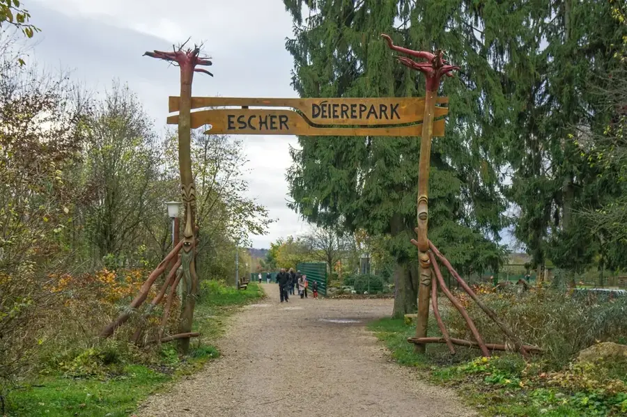
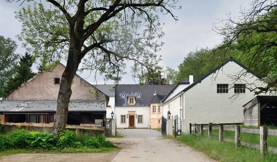
Sights nearby
💡 Tips
- Visit the National Museum of Luxembourg Iron Ore Mines in the afternoon to avoid morning school groups.
- Bring a jacket, as the mine tunnels are around 10°C year-round.
- The town is right on the French border, so keep an eye on your mobile roaming to avoid unexpected charges.
- Use the free public transport network to easily reach the nearby towns without needing a car.
🍽 Food
Try this traditional green bean soup at a local Luxembourgish tavern in the town center.
Look for these savory potato pancakes at local bakeries or snack stands.
A classic plum tart, best enjoyed with a cup of coffee at a local patisserie.
🛍 Shopping · 🧘 Quiet spots
Pick up unique iron ore and mining-related souvenirs at the museum shop.
Check out the small grocery stores in the center for local Luxembourgish products.
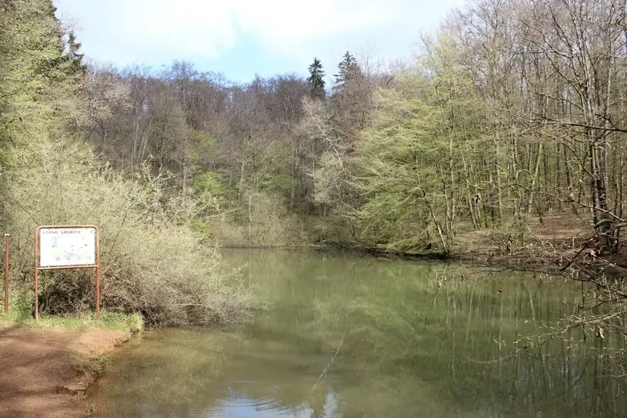
Take a refreshing walk in the dense, peaceful forests surrounding the town.
A scenic hill area that is excellent for a quiet afternoon hike away from the center.
Water temperature…
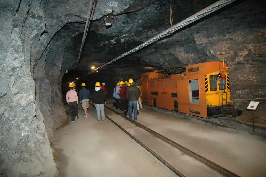
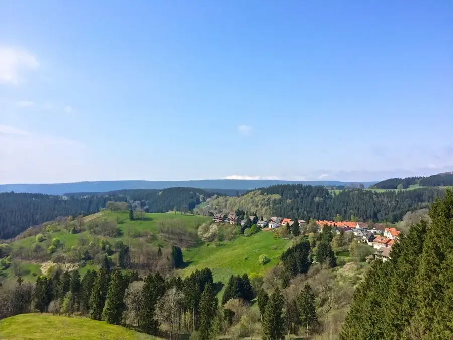
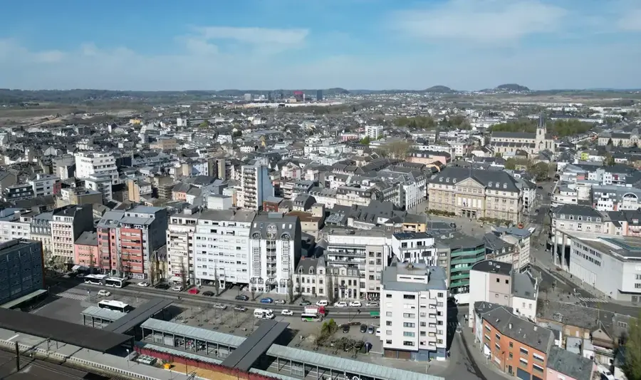
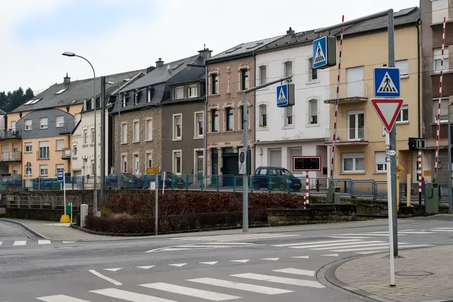
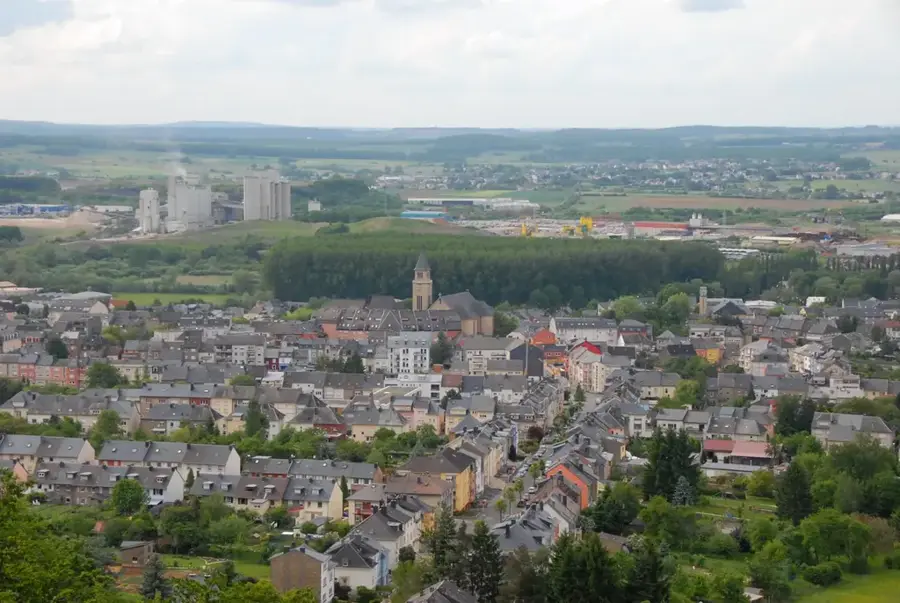
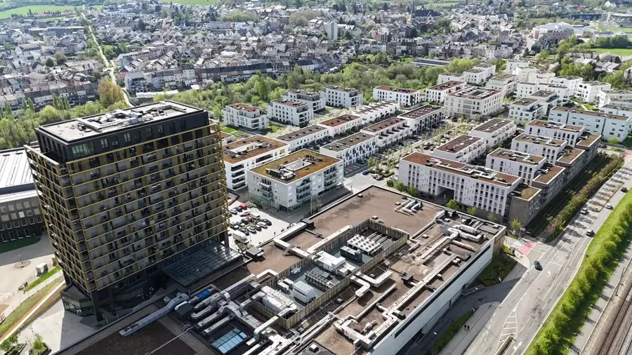
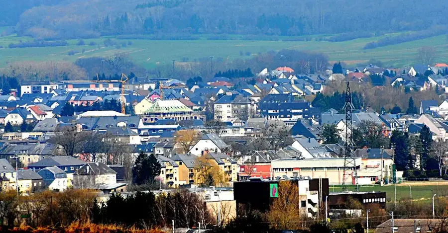
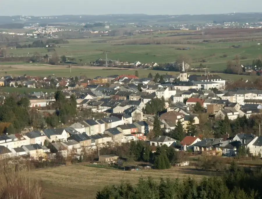
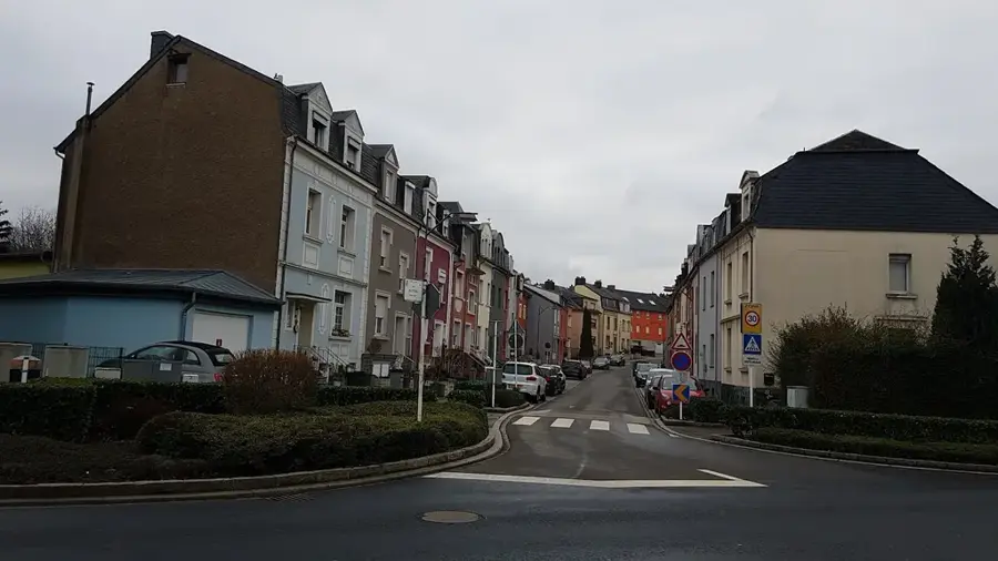
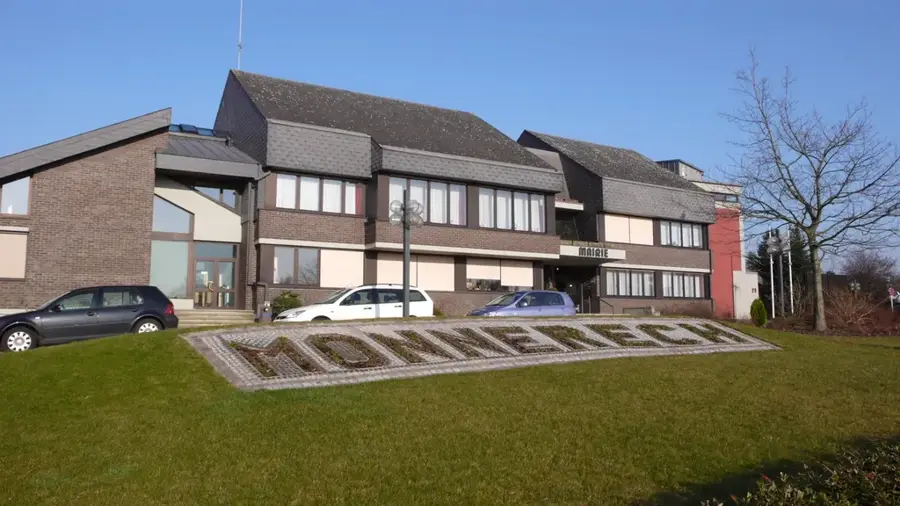
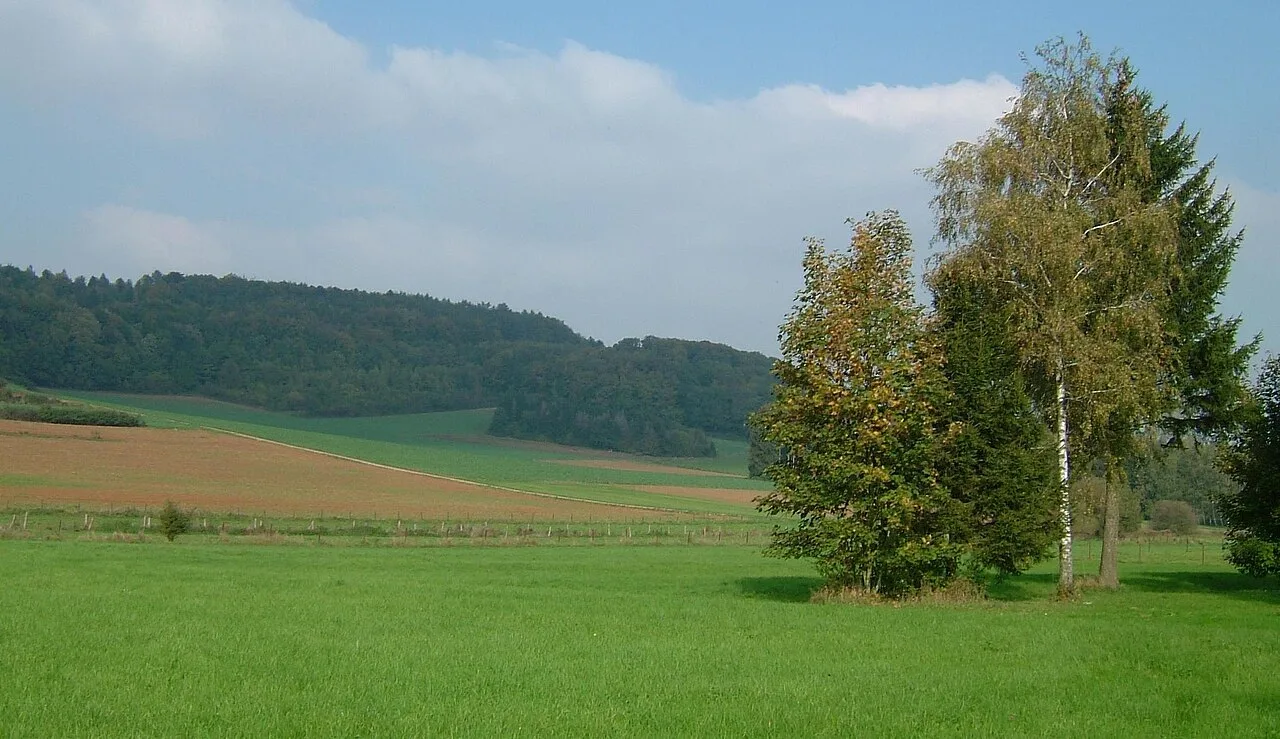
Rumelange, located in the far south of Luxembourg, is a city with deep industrial roots in the heart of the Red Lands (Terres Rouges). The town's development in the Kayl river valley was inextricably linked to iron ore mining, which transformed the entire region starting from the mid-19th century. Rumelange was officially granted city status in 1907, reflecting its economic importance during the heyday of the steel industry. Today, the city is primarily known for the National Museum of Mining, housed in the former tunnels of the Walert mine, documenting the harsh working conditions of miners. The urban landscape is characterized by a mix of historic worker housing and modern residential neighborhoods, reflecting the shift from heavy industry to the service sector. Surrounded by dense forests and reclaimed open-cast mining areas, the city gives numerous hiking trails and nature experiences. Rumelange remains a living symbol of Luxembourg's industrial heritage while maintaining a strong local identity in a constantly evolving border region.
- Location: Luxembourg
- Top sights: Ruine du Château d'Ottange · Musée national des Mines · Réserve naturelle Haard
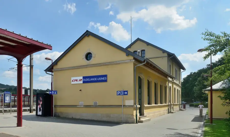
- Nearby: Dudelange (4 km)
- Population: ~4.033
Best time to visit & climate
The most pleasant time to visit is Jun–Aug.
| Jan | Feb | Mar | Apr | May | Jun | Jul | Aug | Sep | Oct | Nov | Dec | |
|---|---|---|---|---|---|---|---|---|---|---|---|---|
| Avg °C | 1 | 1 | 5 | 9 | 13 | 17 | 19 | 19 | 15 | 10 | 5 | 2 |
| Rain mm | 67 | 57 | 57 | 46 | 70 | 68 | 65 | 72 | 56 | 65 | 68 | 79 |
Geography
Facts
- Rumelange received city status on August 4, 1907.
- The National Museum of Mining was established in 1973.
- The city is located in the deepest part of the Kayl river valley.
- The last iron ore mine in the area closed in 1963.
- The town has a population of over 5,600 inhabitants.
- The local football club US Rumelange was founded in 1907.
Explore nearby
Notable places around
Route planner — Car & Motorhome
Where do you start? We build the route here, with stops and country notes along the way.
© OpenStreetMap contributors · OpenRouteService
Sights in the town Rumelange (9)
Frequently asked questions
What is the most important sight?
Can you go into the mine?
What is the soil here known for?
Are there hiking trails nearby?
Is Rumelange an industrial town?
Rumelange: where is it located?
Rumelange: what is there to see?
Rumelange: when is the best time to visit?
Rumelange: why is it worth visiting?

Nearby cities

History & landmarks
Nature

More places