Plizio Visual Lab
Eisch Valley Roman Road
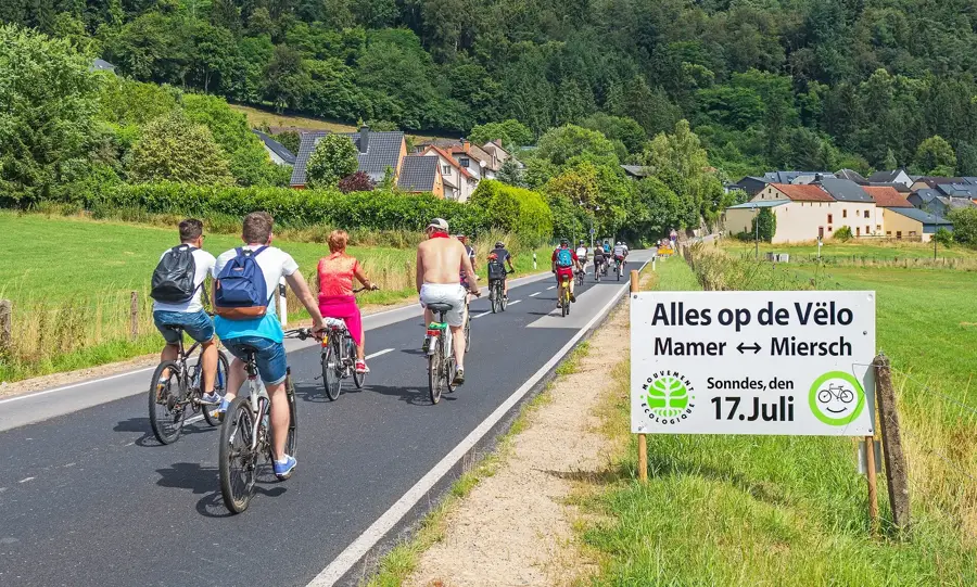
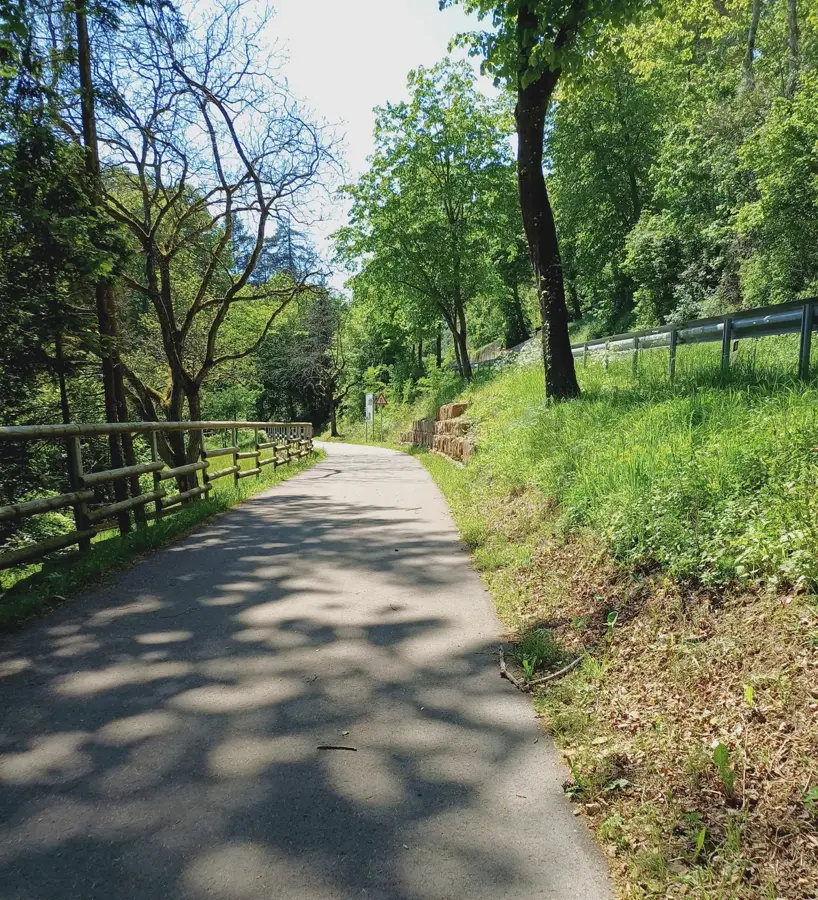
The ancient Roman road in the Eisch Valley is a fascinating relic of Gallo-Roman infrastructure, once forming part of the extensive network connecting Reims and Trier. Known locally as the 'Kiem', this transport route facilitated the rapid movement of legions, trade goods, and imperial messages across present-day Luxembourg during the Roman era. In the densely forested areas of the Eisch Valley, traces of the road's alignment and stone foundations are still visible, showcasing the sophisticated construction techniques of Roman engineers. The existence of this highway spurred the development of numerous villas and settlements nearby, such as those excavated in Mersch and Goeblange. The strategic importance of the road persisted long after the Roman withdrawal, shaping the medieval settlement patterns along what is now called the Valley of the Seven Castles. Historians value the preserved sections for providing direct insight into the logistical organization of the province of Gallia Belgica. Today, modern hiking trails follow parts of this ancient route, allowing visitors to walk in the footsteps of antiquity.
- Location: Luxembourg
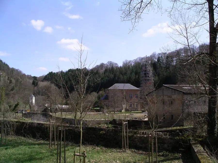
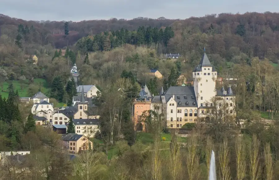
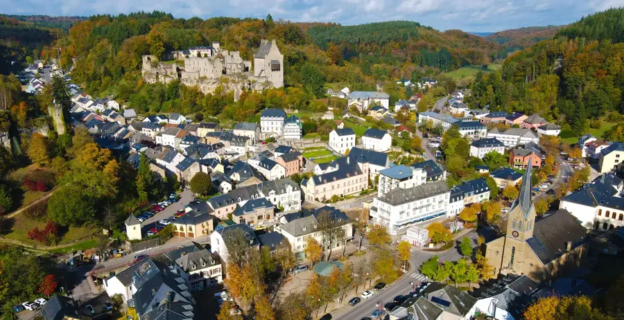
- Top sights: Mariendall - Reiterlei (Ritterfels) · Monastère de Marienthal · Château de Hollenfels
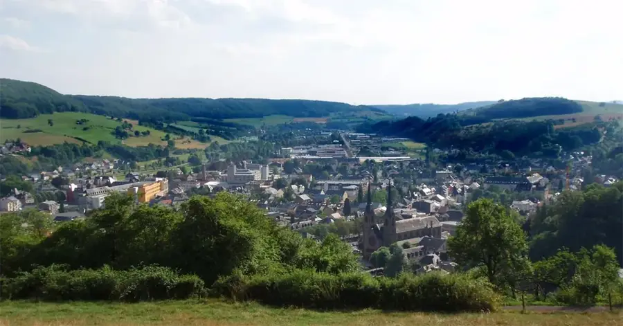
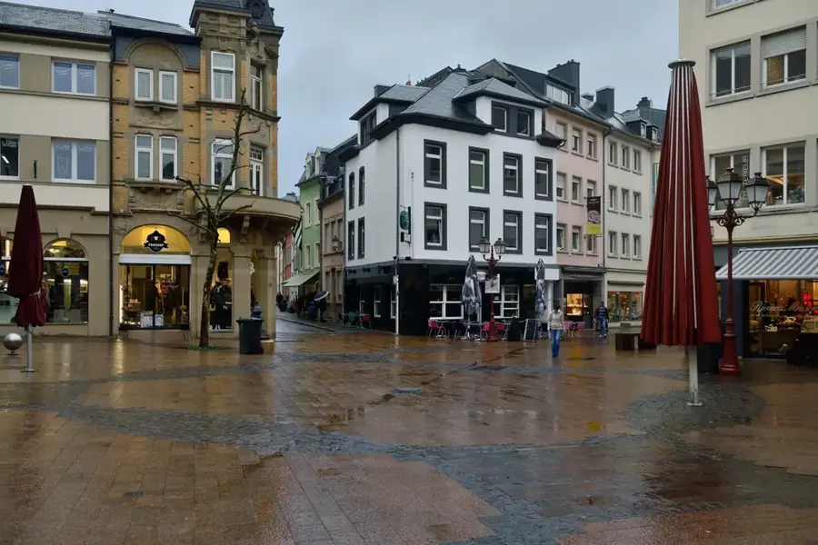
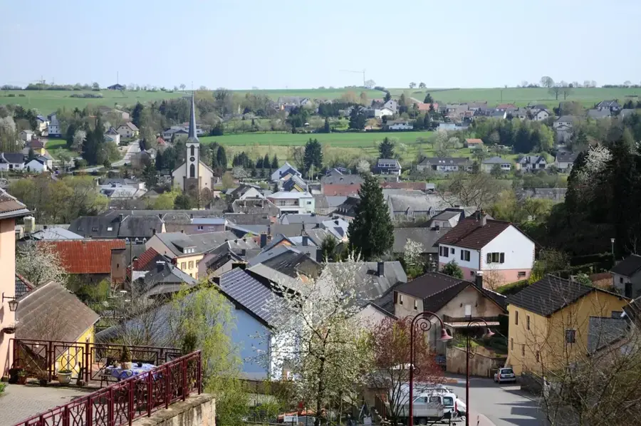
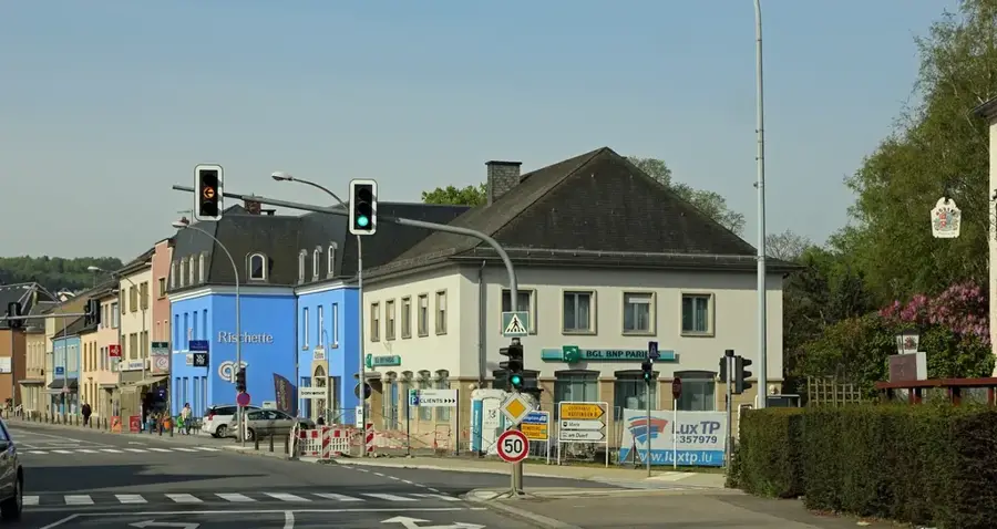
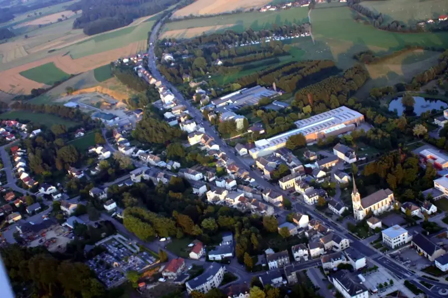
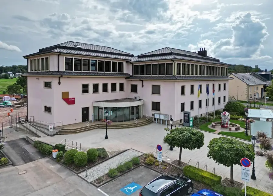
- Nearby: Mersch (5 km)
Best time to visit & climate
The most pleasant time to visit is Jun–Aug.
| Jan | Feb | Mar | Apr | May | Jun | Jul | Aug | Sep | Oct | Nov | Dec | |
|---|---|---|---|---|---|---|---|---|---|---|---|---|
| Avg °C | 1 | 1 | 5 | 9 | 13 | 17 | 19 | 19 | 15 | 10 | 5 | 2 |
| Rain mm | 67 | 57 | 57 | 46 | 70 | 68 | 65 | 72 | 56 | 65 | 68 | 79 |
📋 Practical info
Geography
Facts
- The road was part of the major Reims-Arlon-Trier artery.
- In Luxembourgish, such Roman roads are called 'Kiem'.
- It dates from the period between the 1st and 4th centuries AD.
- The roadbed often featured a cambered design for drainage.
- Roman engineers used heavy stone slabs for the foundation layers.
- The road's proximity led to the establishment of the Mersch villa.
Explore nearby
Notable places around
Route planner — Car & Motorhome
Where do you start? We build the route here, with stops and country notes along the way.
© OpenStreetMap contributors · OpenRouteService
Sights in the town Eisch Valley Roman Road (10)
Chapelle au Mont-Marie
Chapel on Mont-Marie in Luxembourg.
Chapelle Notre-Dame
Chapel in Luxembourg, dedicated to the Virgin Mary.
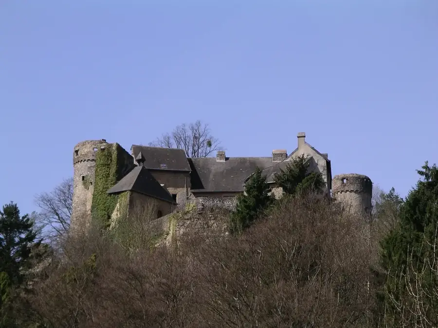
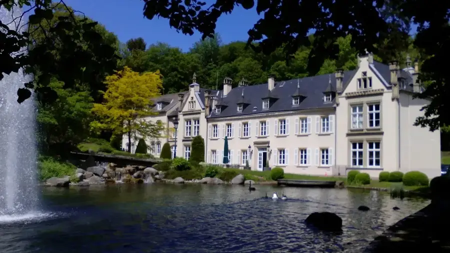
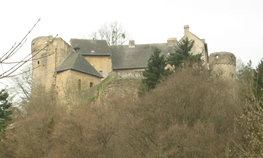
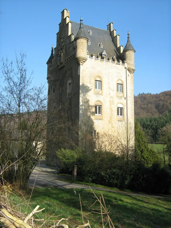
Vieux Château d'Ansembourg🏰 castle
Private castle, not open to the public.
Wichtelslee
Remains of a refuge stronghold: a rampart wall and a formerly inhabited cavern.
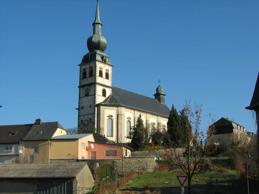
Saint-Wendelin
Church building in Keispelt, Luxembourg, dedicated to Saint Wendelin.
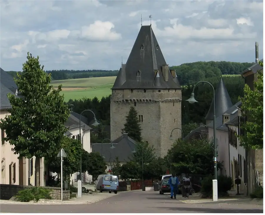
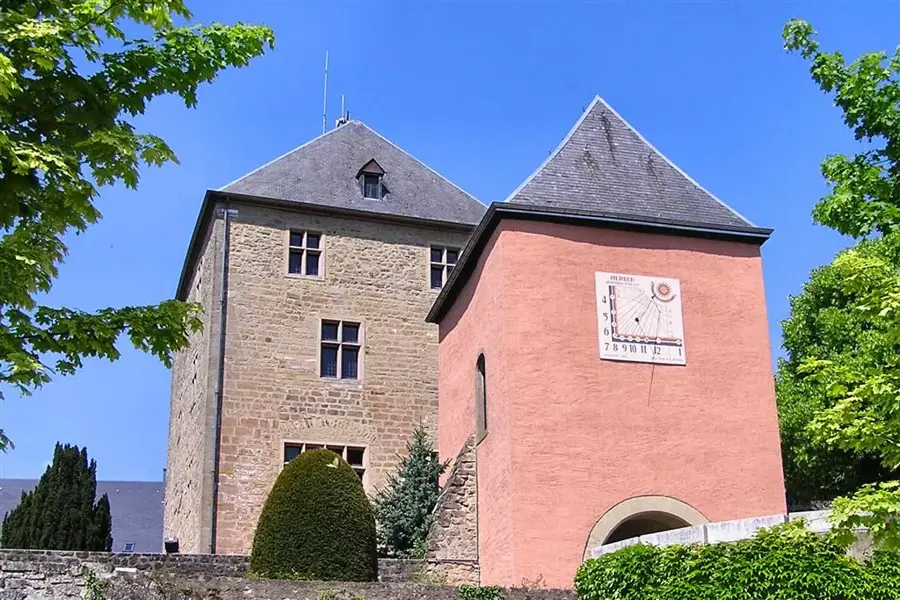
Wehrturm Schlass Schëndels🏰 castle
Defensive tower of Schëndels Castle in Luxembourg.
Sights nearby
Frequently asked questions
What is the Roman Road in the Eisch Valley?
Can the road still be walked today?
What are typical features of this road?
Which cities did this road connect?
Are there signposts for hikers?
Eisch Valley Roman Road: where is it located?
Eisch Valley Roman Road: what is there to see?
Eisch Valley Roman Road: when is the best time to visit?
Eisch Valley Roman Road: why is it worth visiting?

Nearby cities


History & landmarks
Nature
More places