Plizio Visual Lab
Attert River
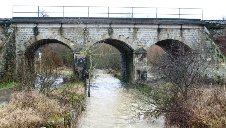
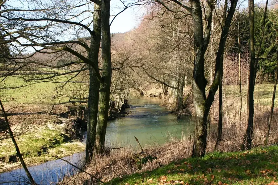
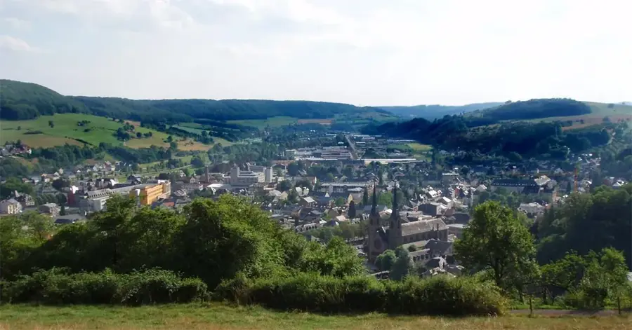
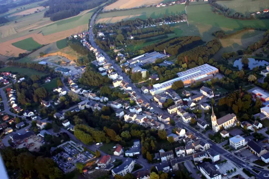
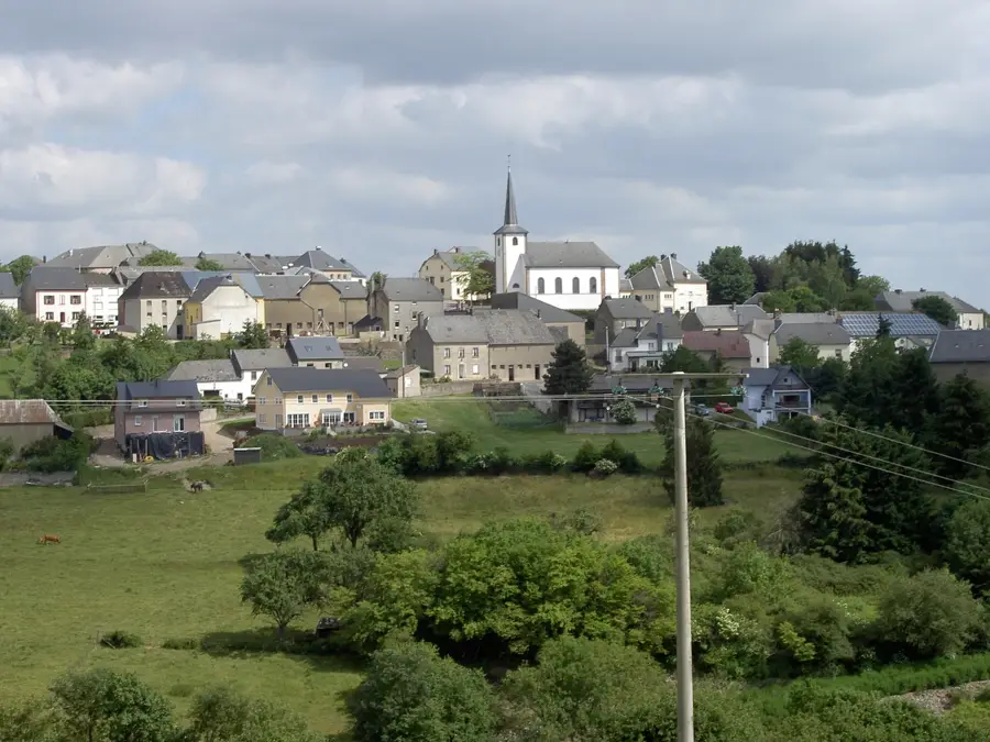
The Attert River is a transboundary waterway flowing through Belgium and Luxembourg, serving as a major tributary of the Alzette. Covering a total length of approximately 38 kilometers, with the majority of its course within Luxembourgish territory, it significantly shapes the western landscape. Its source is located near Nobressart in Belgium at an altitude of about 400 meters above sea level. The river's drainage basin spans roughly 299 square kilometers, predominantly consisting of agricultural lands and dense forests. Geologically, the Attert traverses regions characterized by Luxembourg sandstone and marl layers, resulting in a rich diversity of flora and fauna. The river plays a vital role in the local ecosystem, providing a habitat for numerous protected species such as the common kingfisher. Along its banks, historical mills and remains of past industrial use can be found, testifying to the river's economic importance in previous centuries.
- Location: Luxembourg
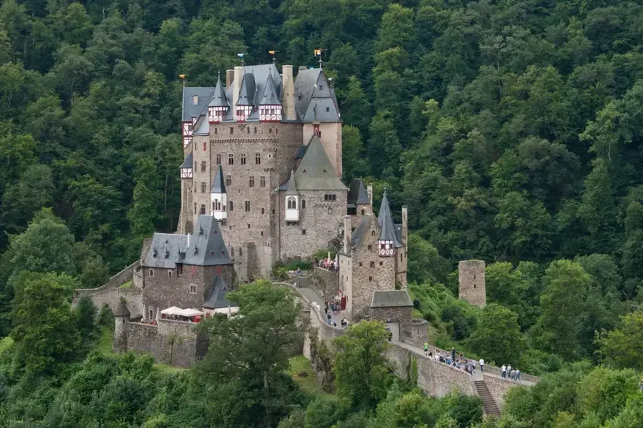
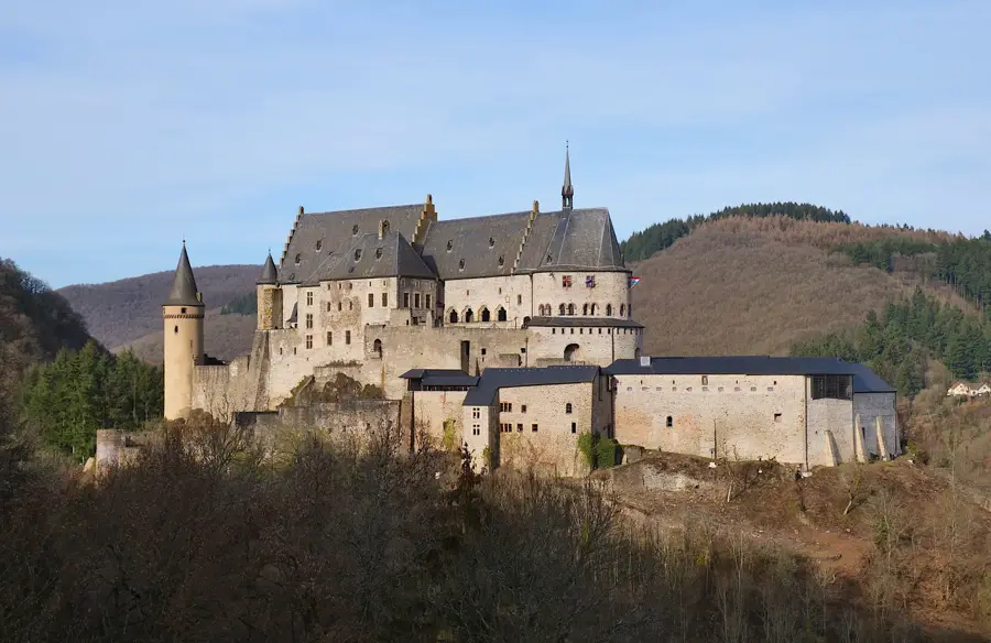
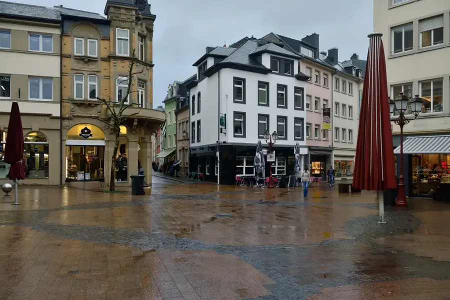
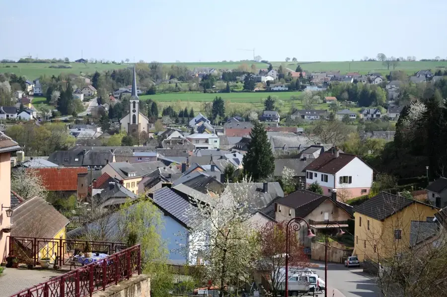
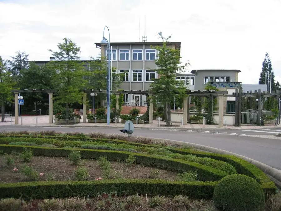
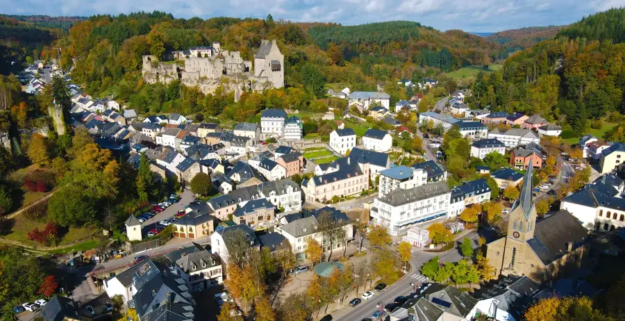
- Top sights: Saint-Victor · Réidener Schwämm · Saint-Bernard
- Nearby: Saeul (7 km)
Best time to visit & climate
The most pleasant time to visit is Jun–Aug.
| Jan | Feb | Mar | Apr | May | Jun | Jul | Aug | Sep | Oct | Nov | Dec | |
|---|---|---|---|---|---|---|---|---|---|---|---|---|
| Avg °C | 0 | 1 | 4 | 8 | 12 | 16 | 18 | 17 | 14 | 9 | 5 | 1 |
| Rain mm | 75 | 64 | 63 | 49 | 75 | 75 | 74 | 81 | 59 | 67 | 72 | 84 |
📋 Practical info
Geography
Facts
- The total length of the river is approximately 38 kilometers.
- The drainage basin covers an area of 299 square kilometers.
- The source is located near Nobressart, Belgium, at 400m altitude.
- The confluence with the Alzette occurs near Colmar-Berg.
- The river partially forms the border between Belgium and Luxembourg.
- In Luxembourg, it flows through the cantons of Redange and Mersch.
Explore nearby
Notable places around
Route planner — Car & Motorhome
Where do you start? We build the route here, with stops and country notes along the way.
© OpenStreetMap contributors · OpenRouteService
Sights in the town Attert River (4)
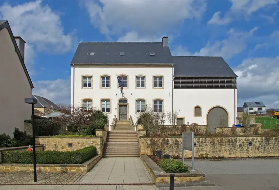
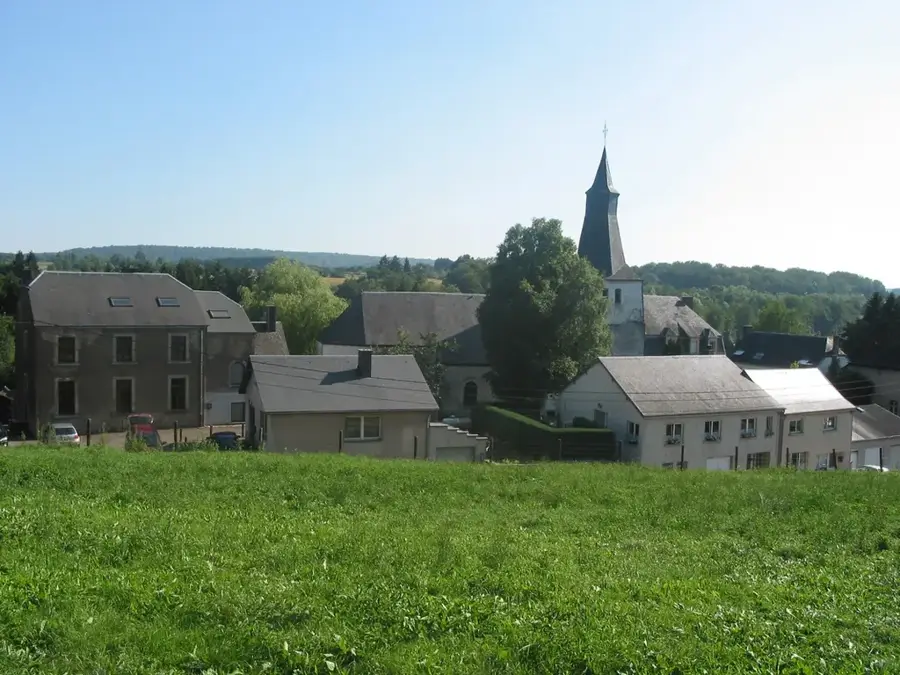
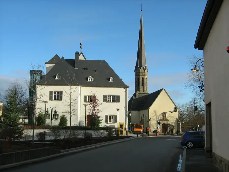
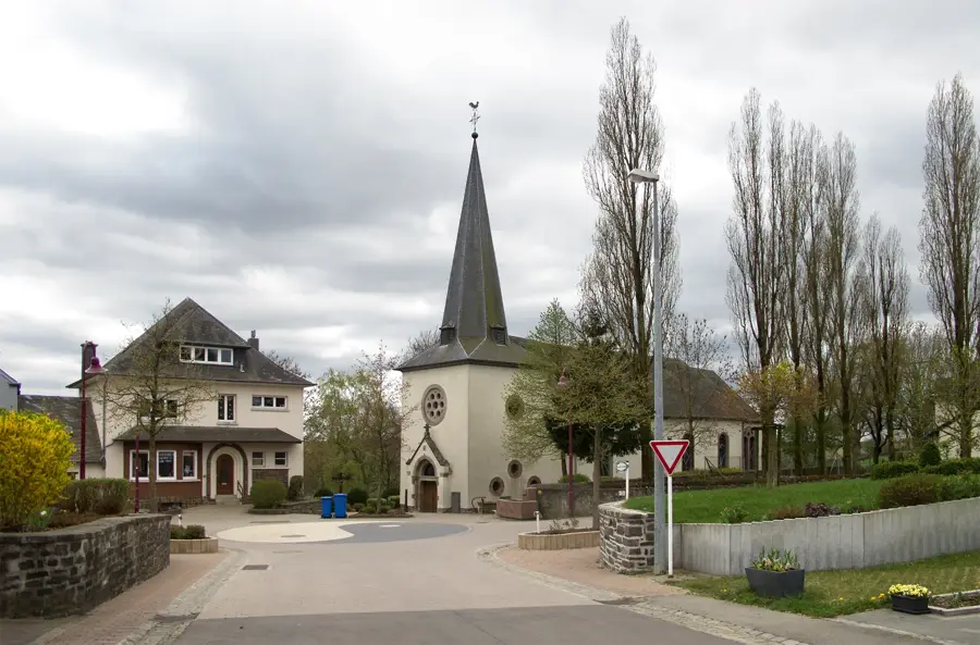
Saint-Rémy
Church building in Luxembourg, dedicated to Saint Remigius.
Sights nearby
Frequently asked questions
Where does the Attert rise?
What landscape characterizes the Attert valley?
Are there sights along the river?
Is the valley suitable for hiking?
Where does the Attert flow into?
Attert River: where is it located?
Attert River: what is there to see?
Attert River: when is the best time to visit?
Attert River: why is it worth visiting?

Nearby cities


History & landmarks
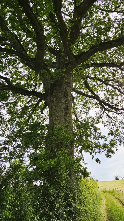
Nature