Plizio Visual Lab
Girnių Hill
Weather…
Water temperature…
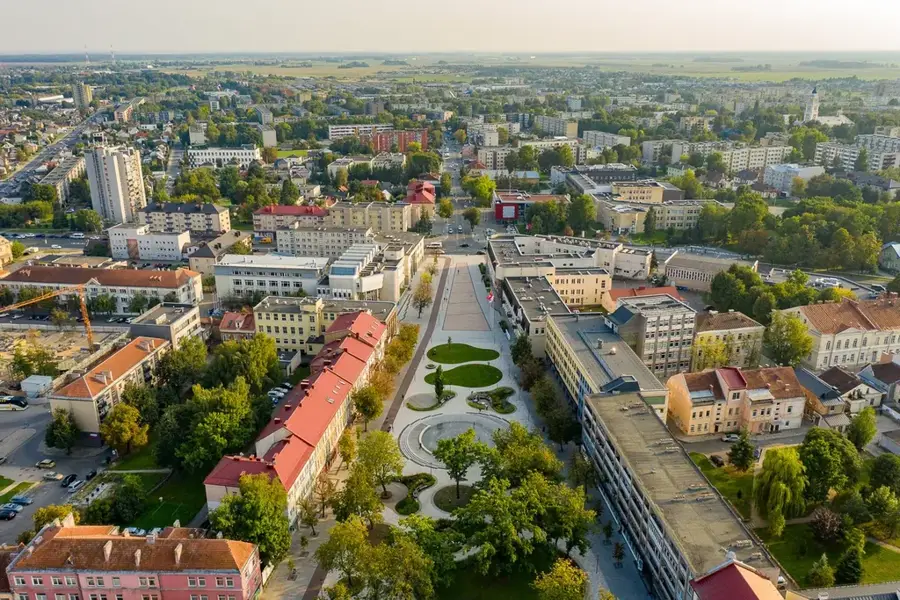
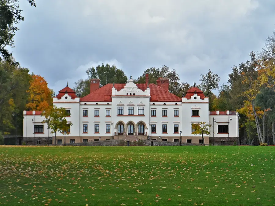
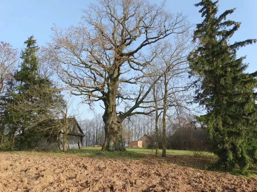
Girnių Hill is a striking elevation of approximately 194 meters located in the Anykščiai district, in the heart of eastern Lithuania. It stands out in the surrounding hilly landscape due to its unusually steep slopes for the region. This distinct geological feature is the result of powerful glacial meltwater streams that carved deep valleys into the sand and gravel deposits as the ice age glaciers retreated. From the crest of the hill, visitors are treated to an impressive view over the deeply incised valley of the Šventoji River, widely considered one of the country's most pretty river valleys. Because of its commanding position, Girnių Hill historically served as a natural observation point and a local defensive outpost. Today, the heavily forested area provides peaceful hiking trails for nature enthusiasts.
- Location: Lithuania
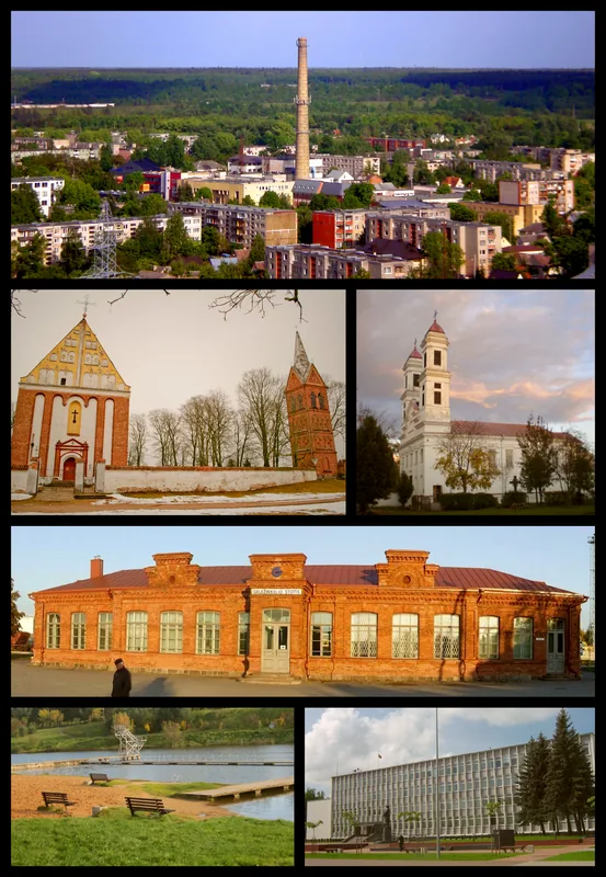
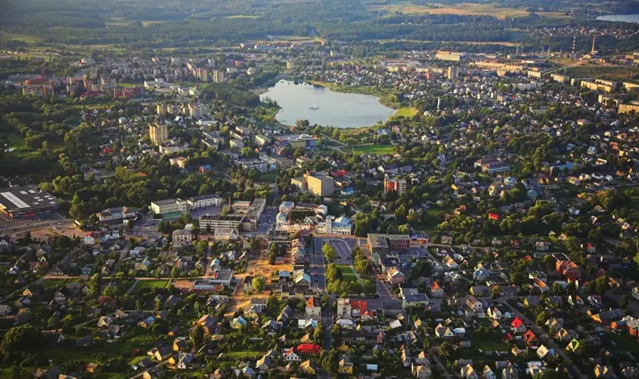
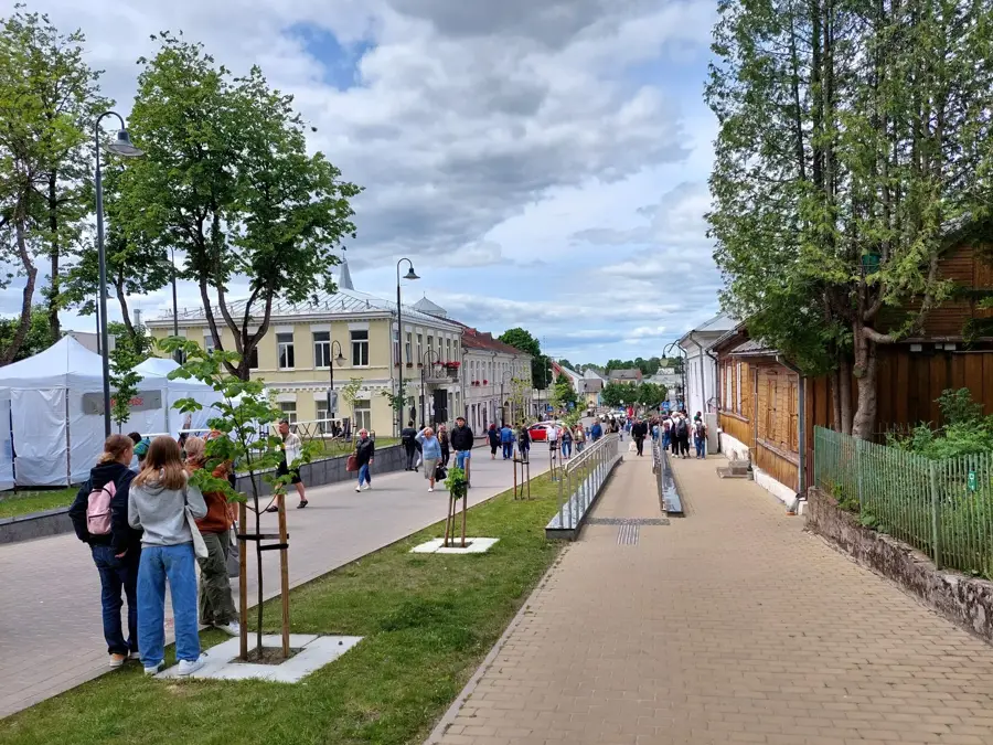
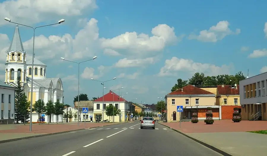
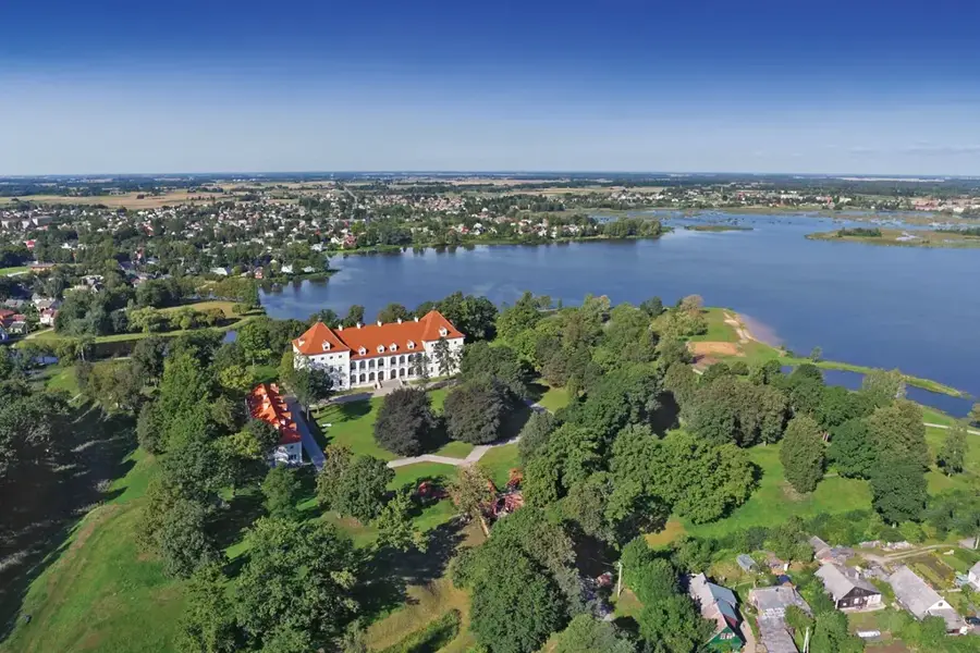
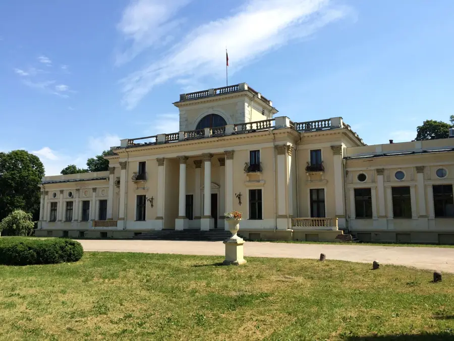
- Nearby: Anykščiai (7 km)
Best time to visit & climate
The most pleasant time to visit is Jun–Aug.
| Jan | Feb | Mar | Apr | May | Jun | Jul | Aug | Sep | Oct | Nov | Dec | |
|---|---|---|---|---|---|---|---|---|---|---|---|---|
| Avg °C | -6 | -6 | -1 | 6 | 12 | 16 | 18 | 17 | 12 | 6 | 2 | -3 |
| Rain mm | 57 | 46 | 48 | 49 | 68 | 81 | 98 | 91 | 59 | 73 | 63 | 58 |
📋 Practical info
Geography
Explore nearby
Notable places around
Route planner — Car & Motorhome
Where do you start? We build the route here, with stops and country notes along the way.
© OpenStreetMap contributors · OpenRouteService
Sights in the town Girnių Hill (1)
Sights nearby
Frequently asked questions
How high is the Girnių Hill?
Where is the Girnių Hill located?
Can you camp on the hill?
What activities are possible there?
Is the hill suitable for sledding in winter?
Girnių Hill: where is it located?
Girnių Hill: when is the best time to visit?
Girnių Hill: why is it worth visiting?

Nearby cities