Plizio Visual Lab
Dyburiai Escarpment

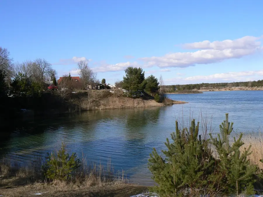
The Dyburiai Escarpment (or Dyburiai Outcrop) is an impressive geological natural monument located in the Salantai Regional Park in northwestern Lithuania. Over millennia, the Minija River has carved deeply into the post-glacial relief here, creating one of the deepest and most spectacular river loops in the entire country. The steep escarpment rises almost vertically above the river valley, effectively exposing various geological layers that provide a fascinating glimpse into the region's earth history following the retreat of the glaciers. From the upper edge of the steep cliff, a sweeping panorama opens up over the heavily meandering river course, which winds its way through dense, almost primeval broadleaf forests. The difficult-to-access valley directly beneath the outcrop provides a completely undisturbed habitat for a wide variety of rare animal and plant species. It is a place of raw, wild beauty, exceptionally popular among nature photographers and geologists.
- Location: Lithuania
- Top sights: Dyburių atodanga · Dauginčių atodanga · Gaudučių buv. dvaro sodyba
- Nearby: Plungė (16 km)
Best time to visit & climate
The most pleasant time to visit is Jun–Aug.
| Jan | Feb | Mar | Apr | May | Jun | Jul | Aug | Sep | Oct | Nov | Dec | |
|---|---|---|---|---|---|---|---|---|---|---|---|---|
| Avg °C | -2 | -2 | 1 | 6 | 11 | 15 | 18 | 18 | 14 | 8 | 4 | 1 |
| Rain mm | 70 | 49 | 47 | 36 | 46 | 62 | 78 | 80 | 71 | 86 | 82 | 77 |
📋 Practical info
Geography
Explore nearby
Notable places around
Route planner — Car & Motorhome
Where do you start? We build the route here, with stops and country notes along the way.
© OpenStreetMap contributors · OpenRouteService
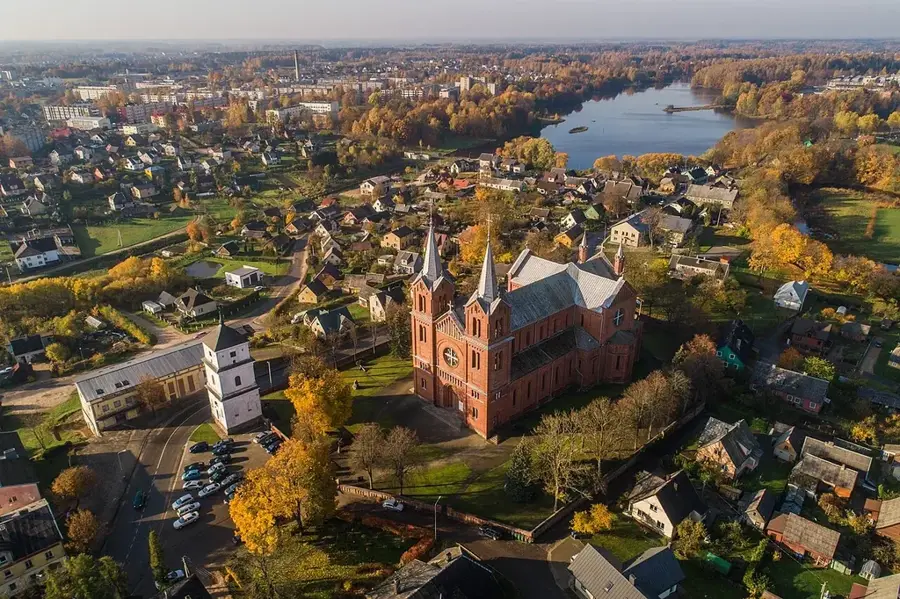
Sights in the town Dyburiai Escarpment (3)
Sights nearby
Frequently asked questions
What is the Dyburiai Loop?
Where is this place located?
Are there hiking trails there?
How high is the bank?
Is the place suitable for nature photography?
Dyburiai Escarpment: where is it located?
Dyburiai Escarpment: what is there to see?
Dyburiai Escarpment: when is the best time to visit?
Dyburiai Escarpment: why is it worth visiting?

Nearby cities