Plizio Visual Lab
Masa
ℹ️Practical info — Masa
▾
🌤 Weather — 5 days
📍 Nearby
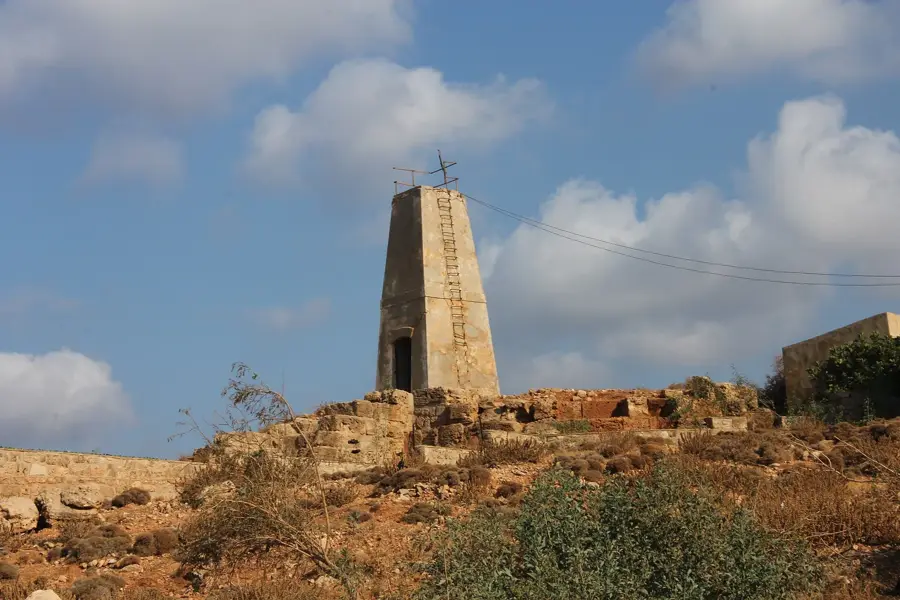
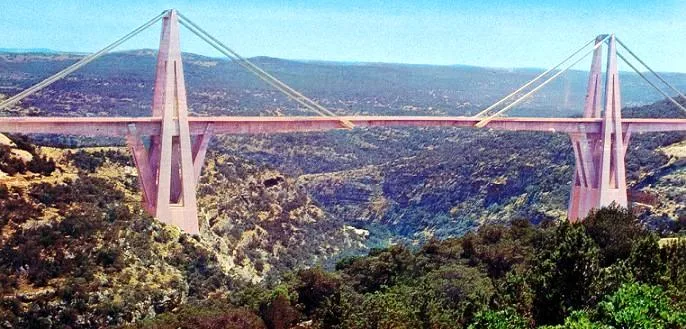
Sights nearby
💡 Tips
- The Green Mountains offer a cooler climate, making it pleasant for afternoon hikes.
- Renting a car in a larger city is recommended, as local transport is sparse.
- Keep in mind that evenings can be chilly due to the high elevation.
- Respect local farming communities when exploring the countryside.
🍽 Food
Try the rich, locally produced honey from the mountain region.
Enjoy a hearty roasted lamb dish at a traditional eatery in the area.
Buy some fresh figs from local roadside vendors when in season.
🛍 Shopping · 🧘 Quiet spots
Purchase high-quality local olive oil directly from the producers.
Stop at small village stalls to buy fresh agricultural products.
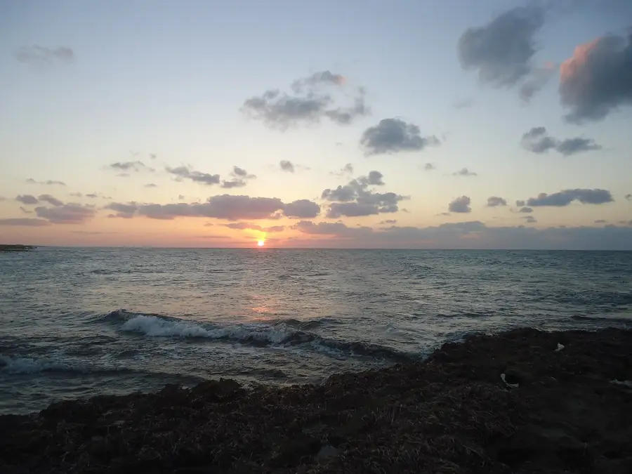
Take a quiet walk through the scenic green landscapes.
Relax at the edge of the settlement and enjoy the peaceful nature.
Water temperature…
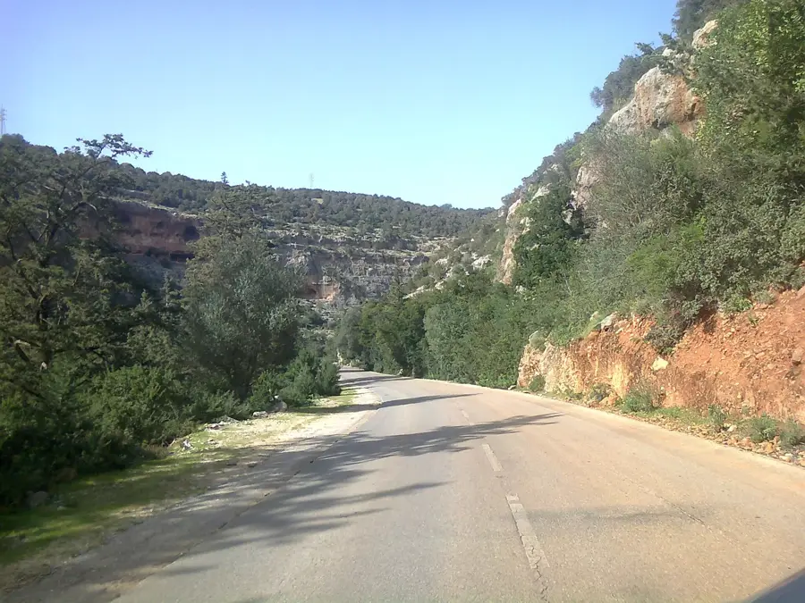
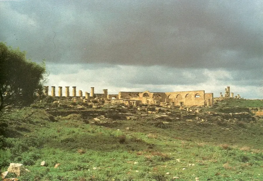
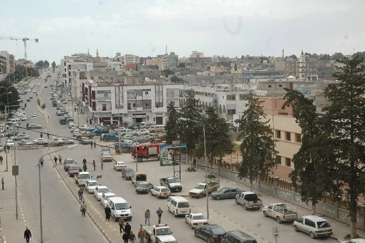
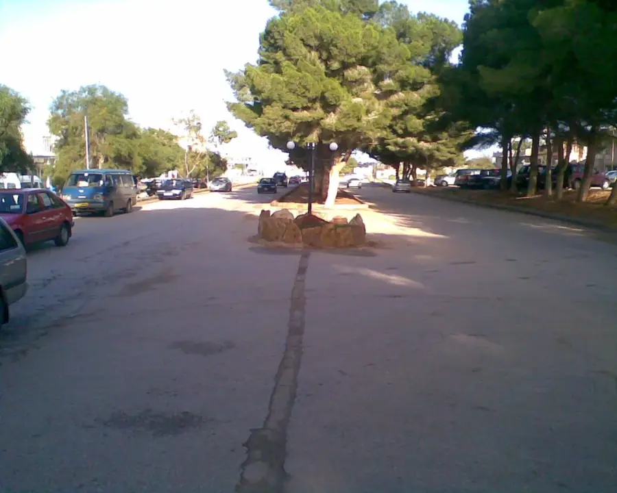
Masa is a welcoming small town positioned in the heart of the Jebel Akhdar mountains in northeastern Libya, known for its verdant surroundings and agricultural productivity. The settlement is located in a region characterized by dense Mediterranean vegetation and rolling hills, making it one of the most scenic areas in the entire country. Historically, Masa was part of the agricultural expansion programs initiated during the Italian colonial era, intended to transform the highland plateau into a productive zone for olive oil and wine export. Today's residents are primarily engaged in farming, benefiting from the reliable winter rains that support fruit orchards and vegetable gardens. Geographically, Masa is well-positioned between the larger urban centers of Al Bayda and Al Marj, providing locals with access to regional services and markets. The town's layout and architecture display a blend of traditional Libyan styles and historical colonial influences, set against a peaceful rural backdrop.
- Location: Libya
- Nearby: Wadi al-Kuf (6 km)
- Population: ~7.831 (2023)
Best time to visit & climate
The most pleasant time to visit is May, Jun, Oct.
| Jan | Feb | Mar | Apr | May | Jun | Jul | Aug | Sep | Oct | Nov | Dec | |
|---|---|---|---|---|---|---|---|---|---|---|---|---|
| Avg °C | 11 | 11 | 14 | 17 | 21 | 24 | 26 | 26 | 25 | 21 | 16 | 13 |
| Rain mm | 56 | 55 | 31 | 11 | 10 | 3 | 0 | 1 | 11 | 35 | 38 | 92 |
Geography
Facts
- Masa is located in the Al Jabal al Akhdar District at 500m elevation.
- This area receives the highest annual rainfall in Libya.
- The local economy thrives on olive, almond, and grapevine cultivation.
- The town is situated on the road connecting the cities of Al Bayda and Al Marj.
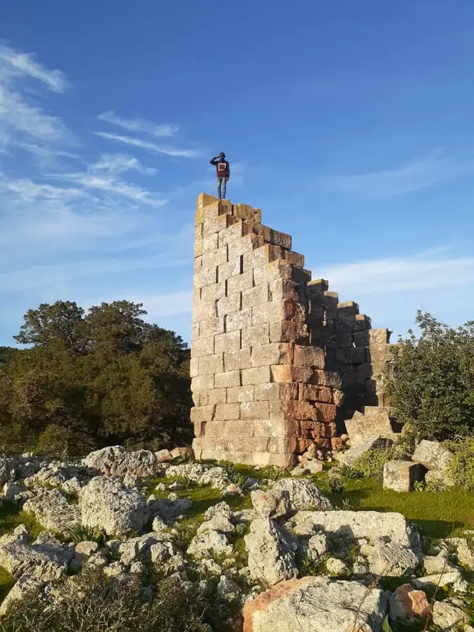
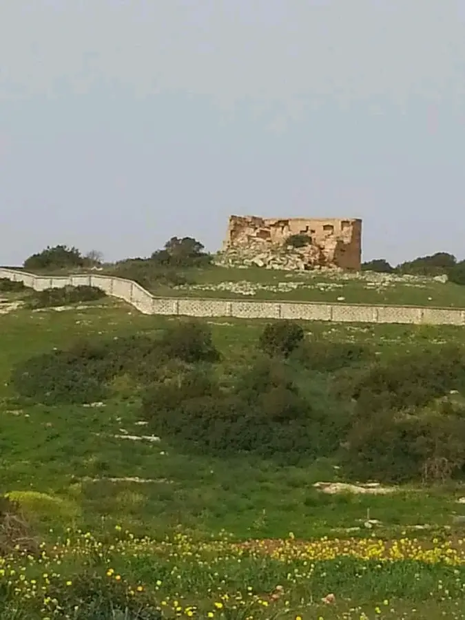
- Ruins of Italian farmsteads from the 1930s can still be found nearby.
- It acts as a primary agricultural collection point for mountain farmers.
Explore nearby
Notable places around
Route planner — Car & Motorhome
Where do you start? We build the route here, with stops and country notes along the way.
© OpenStreetMap contributors · OpenRouteService
Frequently asked questions
What is Massa?
What attractions are there in Massa?
Is Massa far from Cyrene?
How is the local economy?
Can you stay overnight there?
Masa: where is it located?
Masa: when is the best time to visit?
Masa: why is it worth visiting?

Nearby cities
Nature
More places