Plizio Visual Lab
Jebel Akhdar

Weather…
Water temperature…
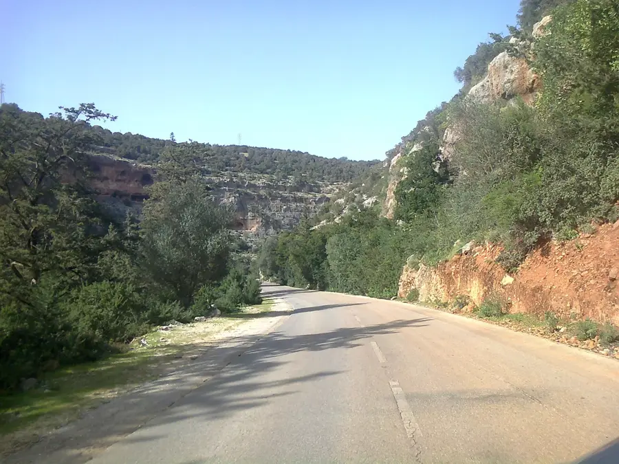
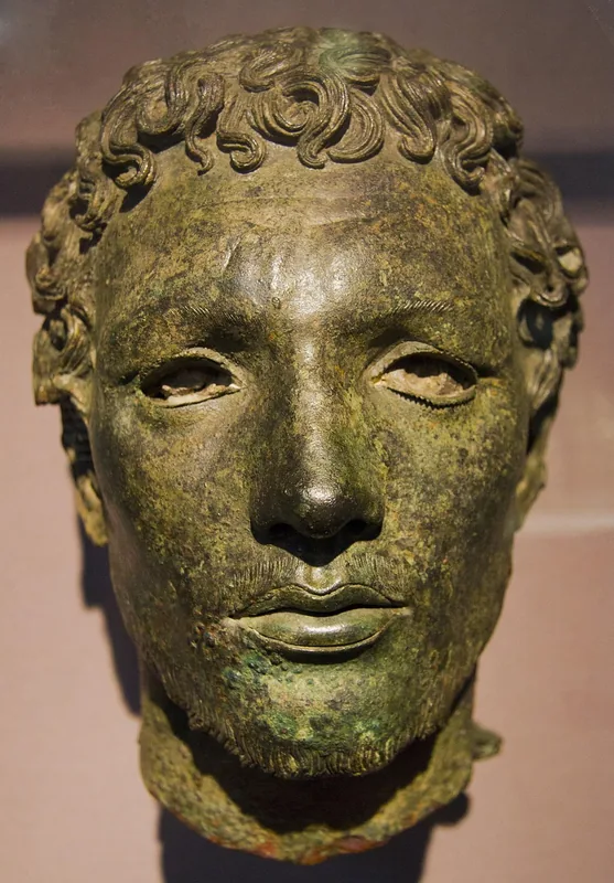
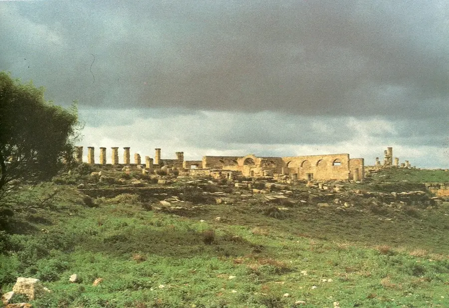
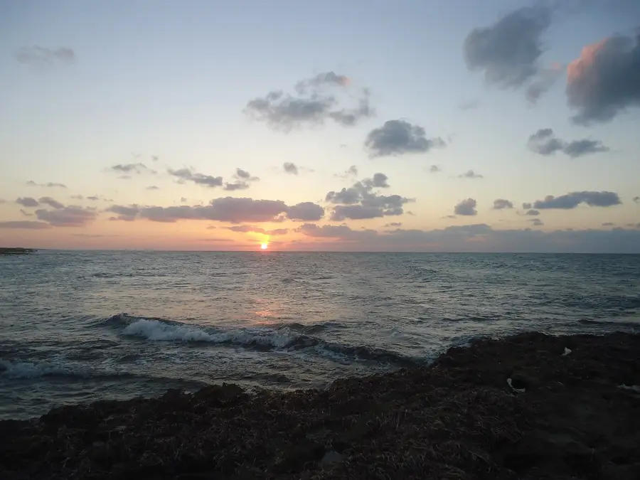
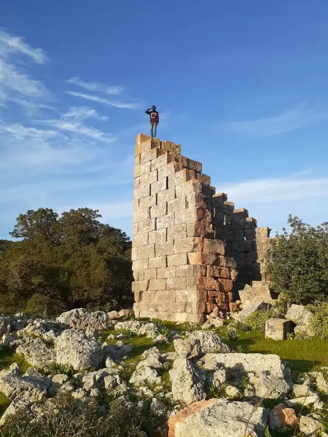
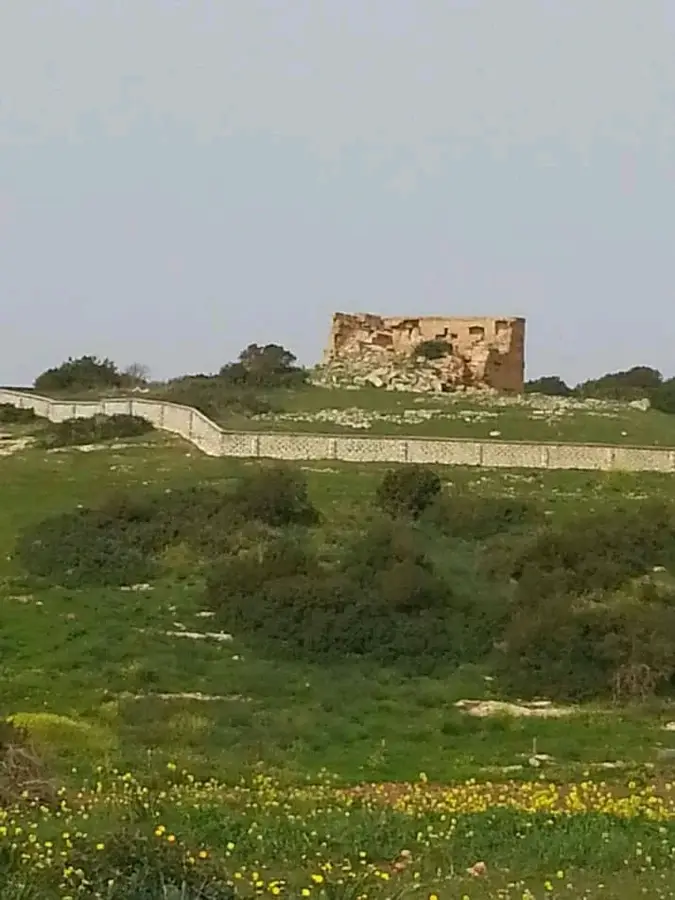
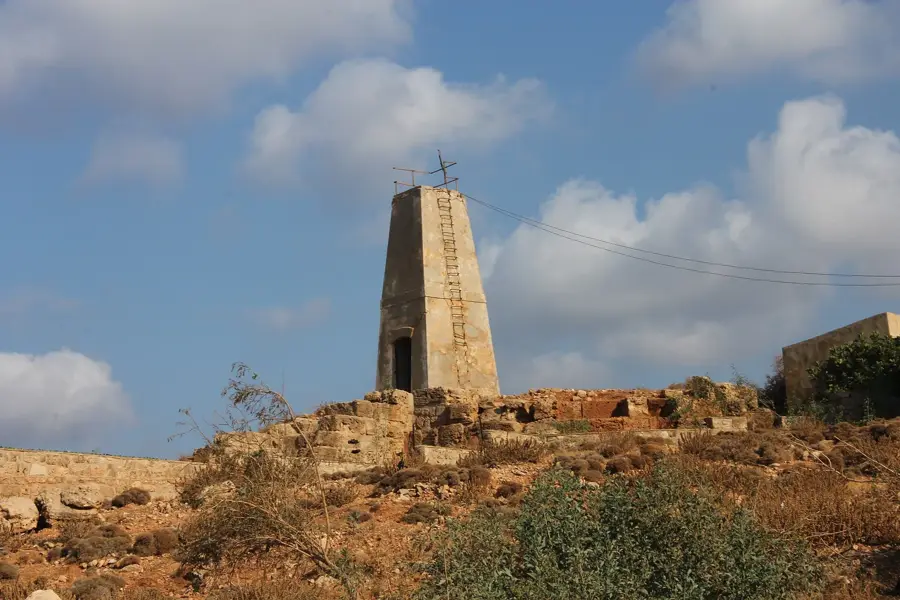
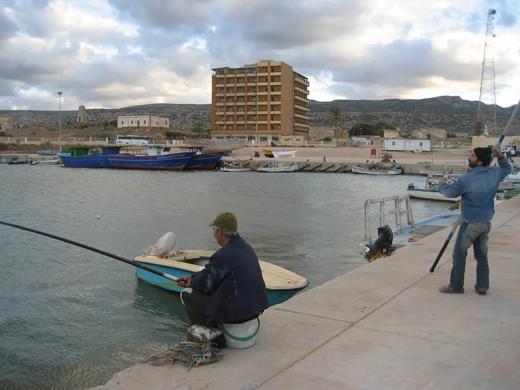
Jebel Akhdar, or the Green Mountain, is a forested highland in northeastern Libya that stretches along the coast of Cyrenaica. Reaching an elevation of up to 880 meters, it is the wettest region in the country and features a distinct Mediterranean climate. The landscape is characterized by dense forests of juniper, pine, and cedar, as well as fertile valleys where agriculture is practiced. Historically, the mountain was a major center of Greek and Roman antiquity, evidenced by the ruins of the city of Cyrene, which is a UNESCO World Heritage site. The region serves as a vital watershed, with its springs supplying numerous surrounding villages and cities with fresh water. The biodiversity of Jebel Akhdar is unique in Libya, home to many endemic plant species and a diverse range of wildlife. In modern times, the mountain is a popular destination for nature observation and hiking, offering a sharp contrast to the surrounding desert landscape. Sustainable management of forest resources remains a constant challenge for local environmental conservation.
- Location: Libya
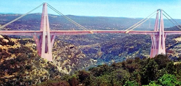
- Nearby: Wadi al-Kuf (9 km)
Best time to visit & climate
The most pleasant time to visit is May, Jun, Oct.
| Jan | Feb | Mar | Apr | May | Jun | Jul | Aug | Sep | Oct | Nov | Dec | |
|---|---|---|---|---|---|---|---|---|---|---|---|---|
| Avg °C | 11 | 11 | 14 | 17 | 21 | 24 | 26 | 26 | 25 | 21 | 16 | 13 |
| Rain mm | 56 | 55 | 31 | 11 | 10 | 3 | 0 | 1 | 11 | 35 | 38 | 92 |
📋 Practical info
Geography
Facts
- The highest peak of the mountain reaches about 880 meters above sea level.
- Jebel Akhdar is the region with the highest rainfall in all of Libya.
- The ancient Greek city of Cyrene is located within this mountain range.
- The climate in the region is Mediterranean, with cool winters and mild summers.
- The forests primarily consist of juniper, pine, and cedar trees.
- The mountain serves as the primary watershed for the Cyrenaica region.
Explore nearby
Notable places around
Route planner — Car & Motorhome
Where do you start? We build the route here, with stops and country notes along the way.
© OpenStreetMap contributors · OpenRouteService
Sights in the town Jebel Akhdar (1)
Sights nearby
Frequently asked questions
Why is the mountain range called 'Green Mountain'?
Can you go hiking in Jebel Akhdar?
When is the best time to visit?
What animals live in this region?
How do you reach the mountains?
Jebel Akhdar: where is it located?
Jebel Akhdar: when is the best time to visit?
Jebel Akhdar: why is it worth visiting?

Nearby cities
Nature
More places