Plizio Visual Lab
Al Bayda
ℹ️Practical info — Al Bayda
▾
🌤 Weather — 5 days
📍 Nearby
Sights nearby
💡 Tips
- Enjoy the cooler Mediterranean climate, which is a refreshing change from the coastal heat.
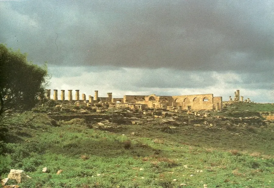
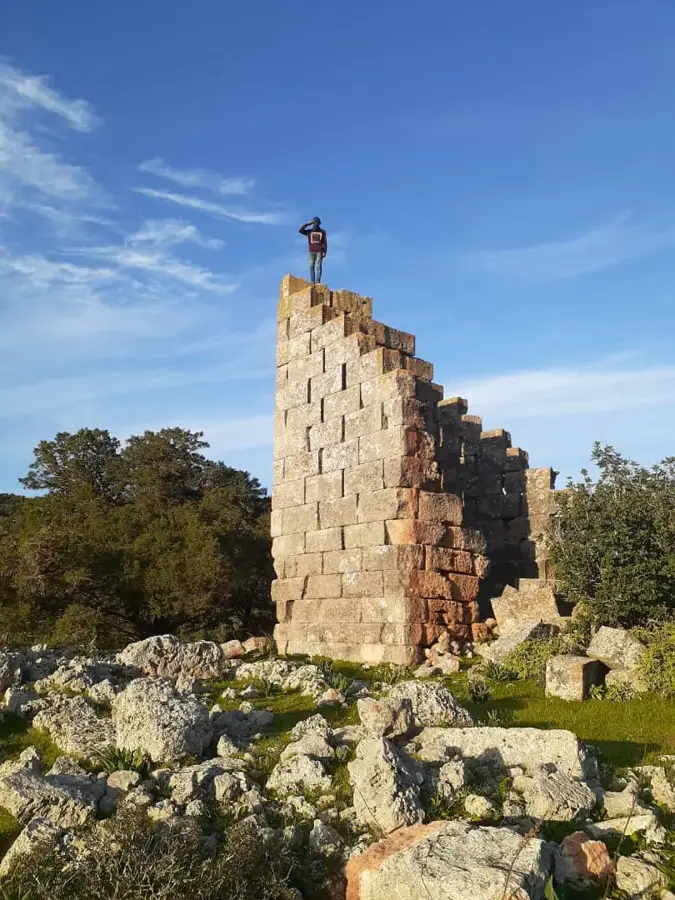
- The city serves as an excellent base for exploring the ancient Greek ruins of Cyrene (Shahat) nearby.
- Dress modestly and respect local conservative customs.
- Local transport relies heavily on taxis and shared minibuses.
🍽 Food
A staple North African dish, widely available in traditional restaurants.
The Green Mountains (Jebel Akhdar) region is famous for its high-quality honey.
Enjoy this traditional beverage at local cafes.
🛍 Shopping · 🧘 Quiet spots
The best place to buy local olive oil, fresh produce, and mountain honey.
Look for local shops selling authentic Libyan garments.
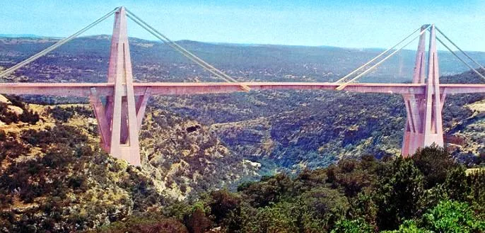
A spectacular valley nearby with a famous bridge, offering great nature views.
Peaceful paths through the forested hills surrounding the city.
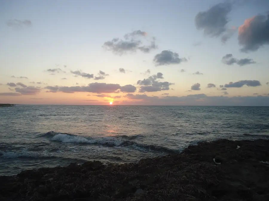
Water temperature…
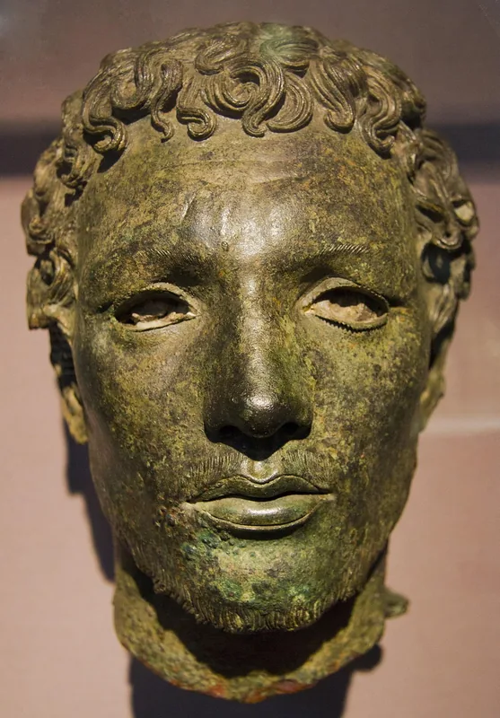
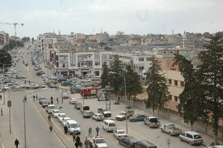
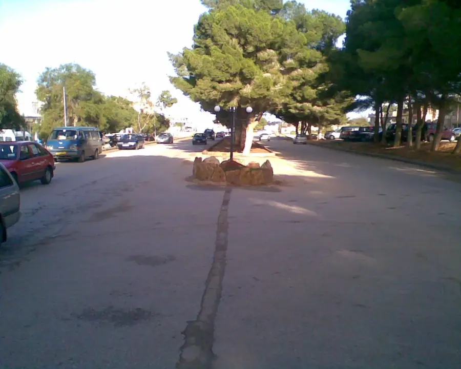
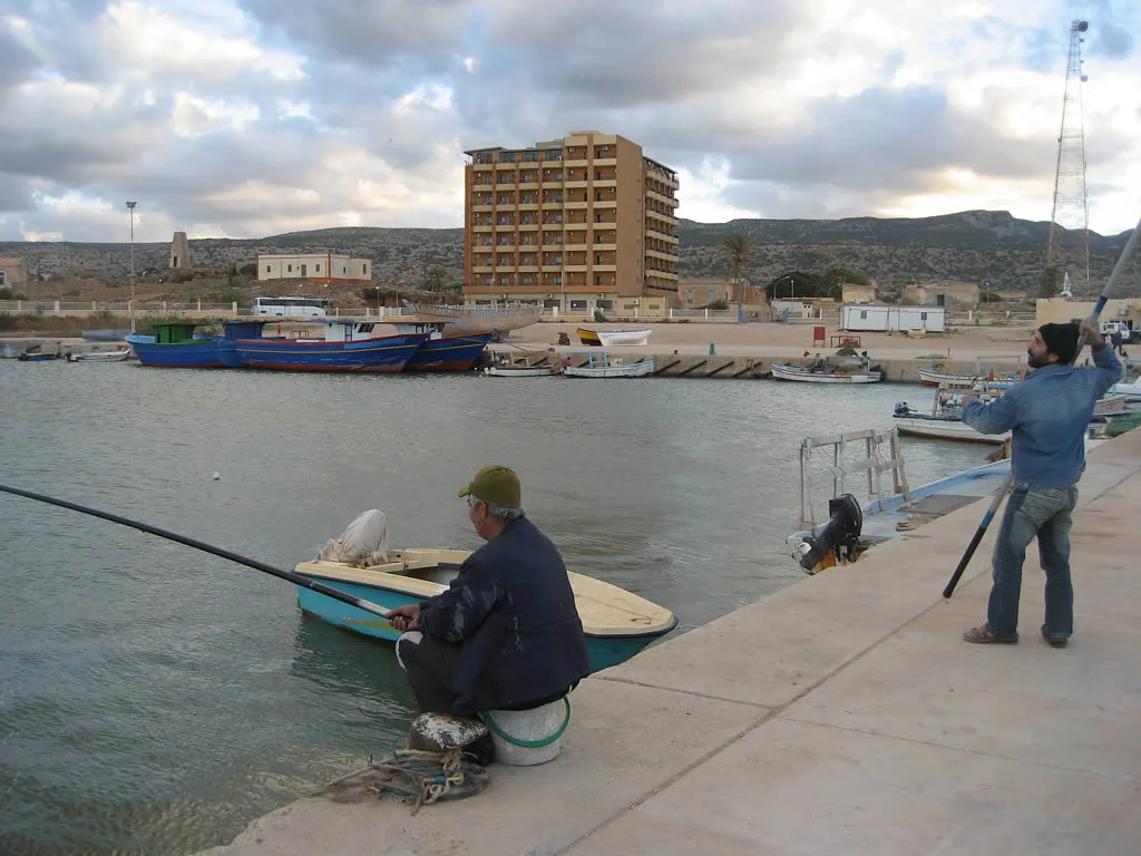
Al Bayda, located in northeastern Libya within the Jebel Akhdar mountain range, is one of the nation's largest cities and a significant administrative hub. Its history dates back to the Greek period when it was known as Balagrae, famous for its temple dedicated to Asclepius. During the mid-20th century, the city gained prominence as the religious center of the Senussi order and served as the de facto administrative capital of the Kingdom of Libya during the 1950s. Today, it is a major educational center, home to the Omar Al-Mukhtar University, which draws students from across the Cyrenaica region. The city's high elevation provides a Mediterranean climate with higher rainfall and cooler temperatures than most of Libya, supporting lush greenery and agriculture. Al Bayda remains a crucial transit point on the highway connecting Benghazi to the eastern border.
- Location: Libya
- Nearby: Masa (10 km)
- Population: ~129.439 (2026)
Best time to visit & climate
The most pleasant time to visit is May, Jun, Nov.
| Jan | Feb | Mar | Apr | May | Jun | Jul | Aug | Sep | Oct | Nov | Dec | |
|---|---|---|---|---|---|---|---|---|---|---|---|---|
| Avg °C | 14 | 14 | 16 | 18 | 20 | 24 | 26 | 26 | 25 | 23 | 19 | 16 |
| Rain mm | 44 | 37 | 21 | 9 | 11 | 2 | 0 | 1 | 12 | 29 | 32 | 63 |
Geography
Facts
- Founded in the ancient Greek era under the name Balagrae.
- Served as the administrative capital of Libya from 1951 to 1963.
- Located at an altitude of approximately 600 meters above sea level.
- Home to the Omar Al-Mukhtar University, established in 1961.
- Named "The White" due to the snowy peaks of the nearby mountains in winter.
- Played a key role as a resistance center against Italian colonial rule.
Explore nearby
Notable places around
Route planner — Car & Motorhome
Where do you start? We build the route here, with stops and country notes along the way.
© OpenStreetMap contributors · OpenRouteService
Sights in the town Al Bayda (1)
Frequently asked questions
What is special about the climate in Al-Baida?
What historical sites are nearby?
Are there nature parks in Al-Baida?
How do you get to Al-Baida?
Was Al-Baida ever the capital?
Al Bayda: where is it located?
Al Bayda: when is the best time to visit?
Al Bayda: why is it worth visiting?

Nearby cities
Nature
More places