Plizio Visual Lab
Thaba-Bosiu
ℹ️Practical info — Thaba-Bosiu
▾
🌤 Weather — 5 days
📍 Nearby
Sights nearby
💡 Tips
- Wear comfortable hiking shoes, as the path up to the plateau is steep and rocky.
- Hire a local guide at the visitor center to fully appreciate the site's rich history.
- Show respect at the royal graveyard located at the summit.
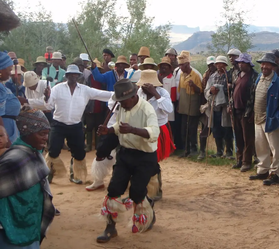
- Visit the cultural village at the base to learn about traditional Basotho life.
🍽 Food
A traditional free-range chicken stew often served near the cultural village.
A fermented sorghum porridge known for its slightly sour, tangy taste.
A hearty, slow-cooked dish that is first-rate after a tiring climb.
🛍 Shopping · 🧘 Quiet spots
Authentic heritage blankets can be found at the visitor center shop.
Local clay pots featuring distinct patterns sold by artisans near the mountain.
An impressive spot looking toward the rock formation that inspired the Basotho hat.
Away from the graves, enjoy the sweeping, quiet views over the valley below.
Water temperature…
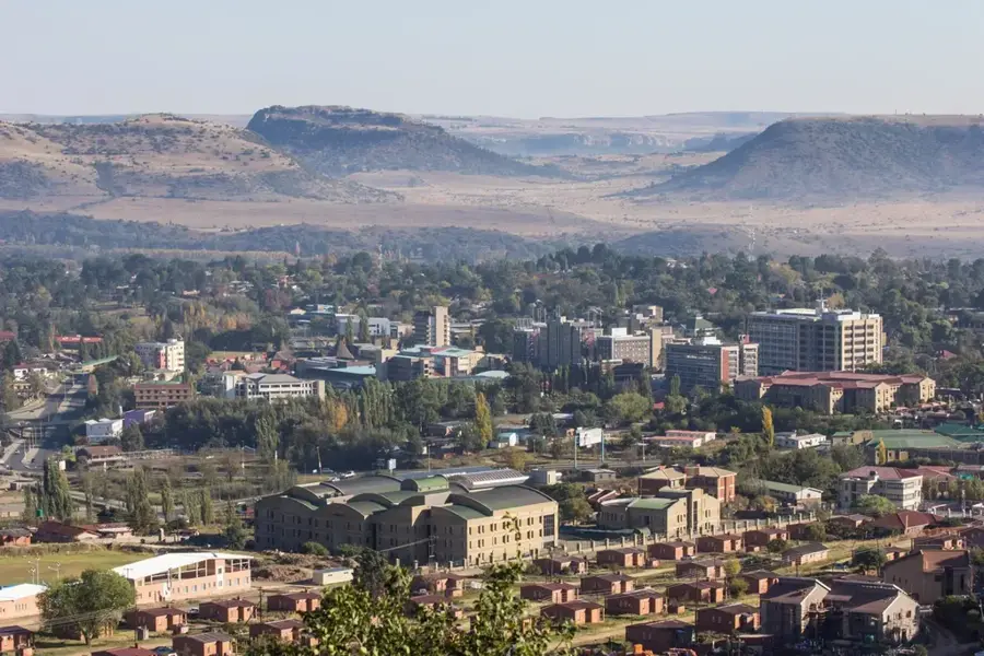
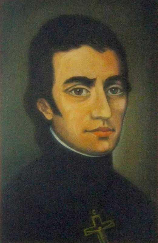
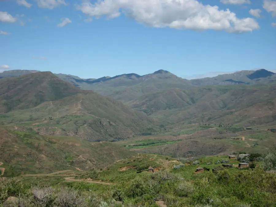
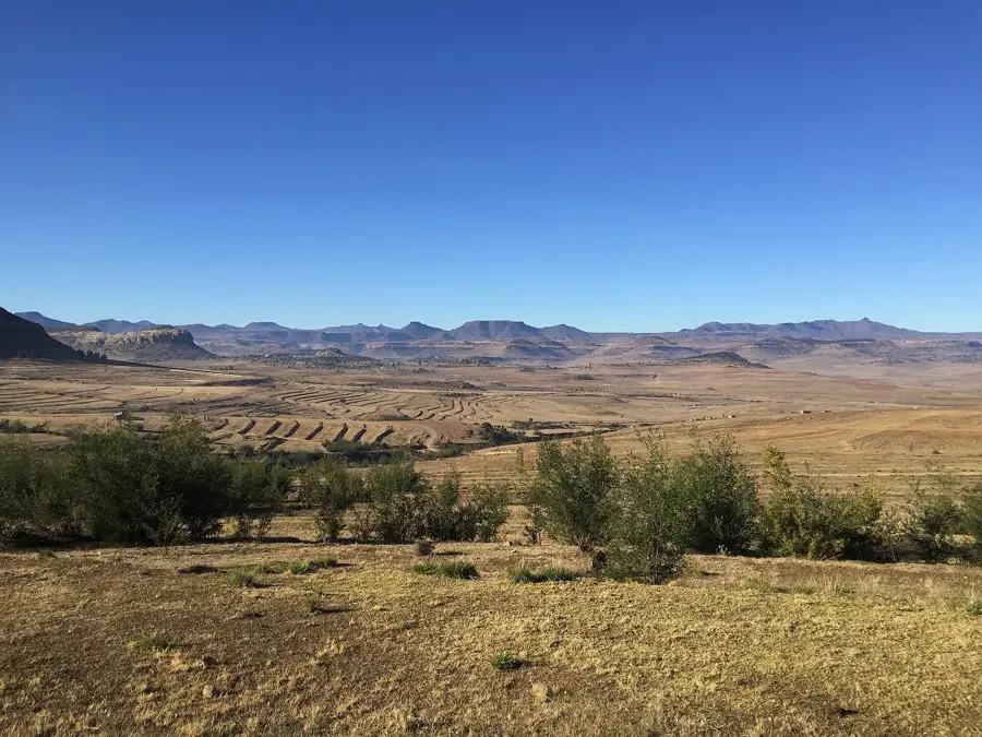
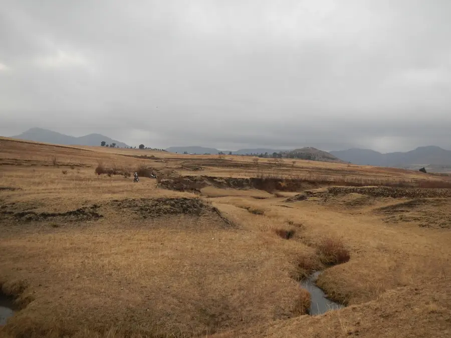
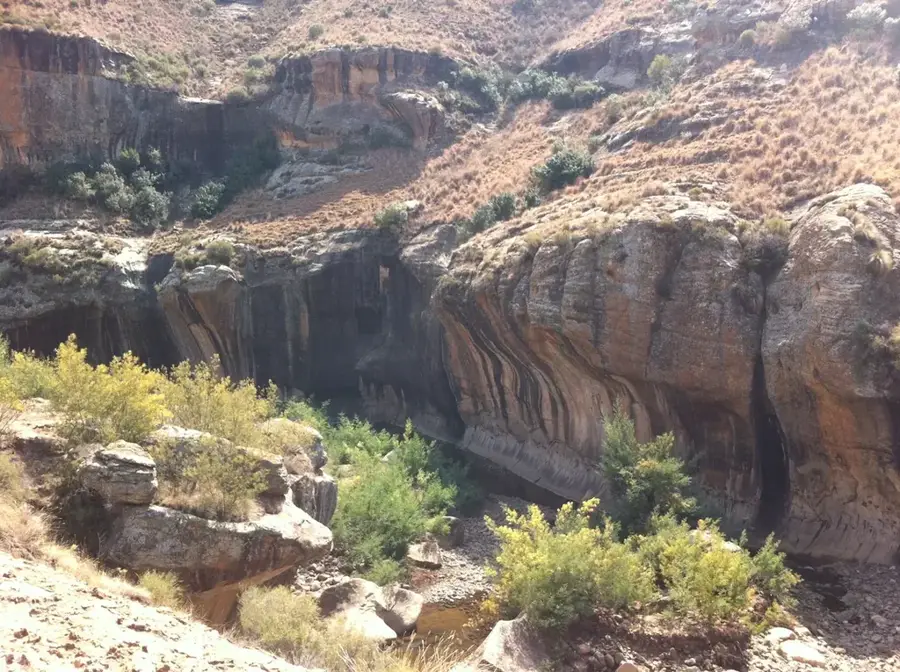
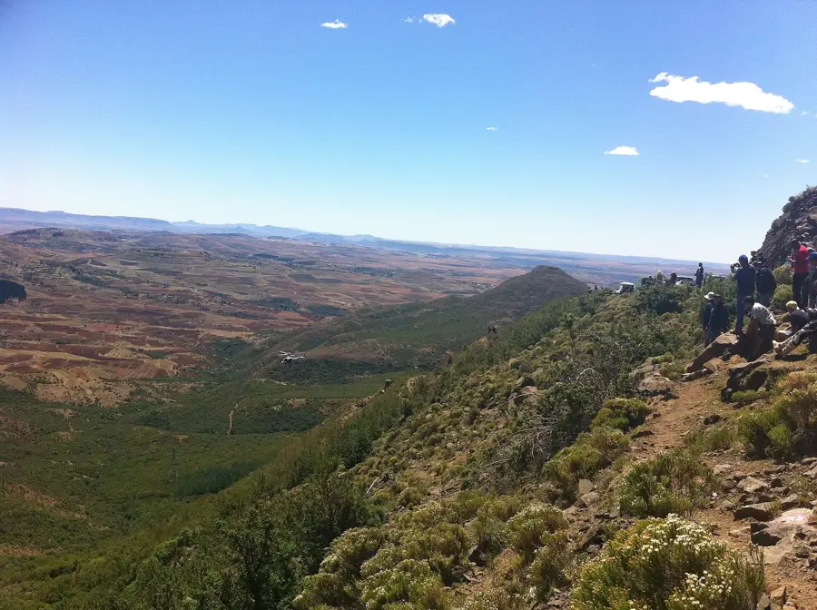
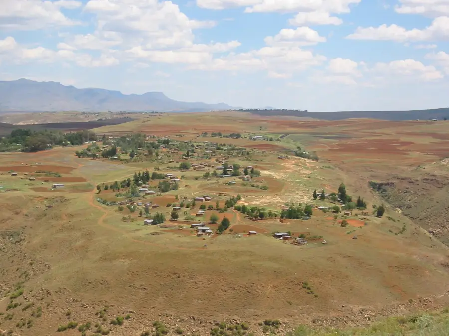
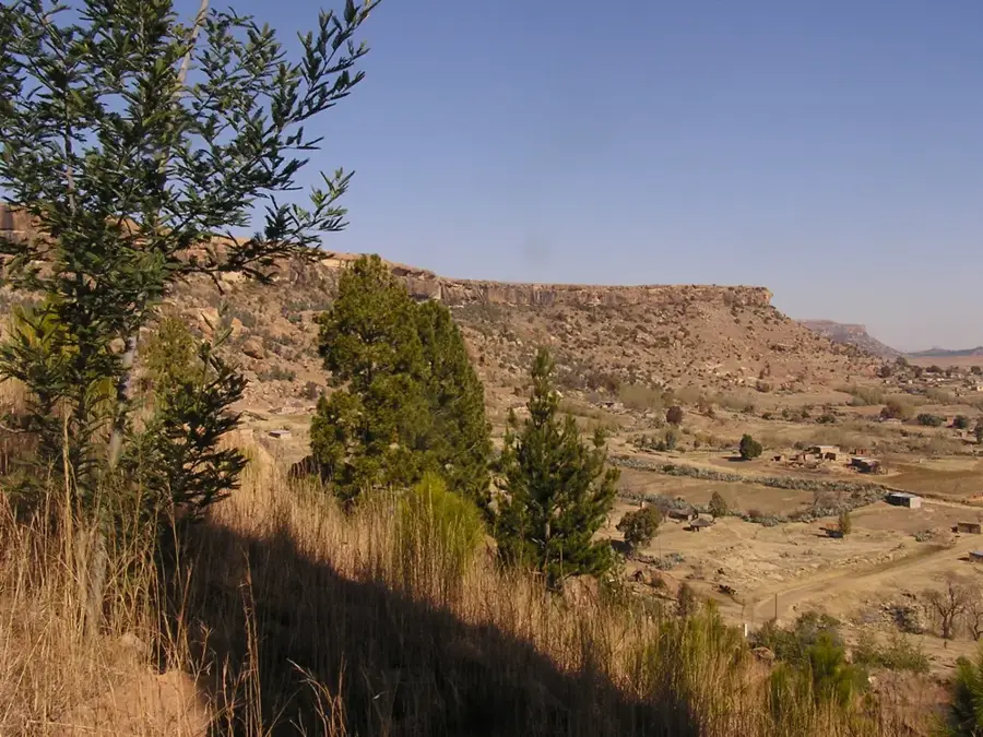
Thaba-Bosiu is a sandstone plateau located approximately 24 kilometers east of Maseru, the capital of Lesotho. It served as the capital and stronghold of King Moshoeshoe I, the founder of the Basotho nation, from 1824 until his death in 1870. The name Thaba-Bosiu translates to 'Mountain at Night,' reflecting a local legend that the mountain grew taller during the hours of darkness to protect the inhabitants from invaders. Its flat top covers about 2 square kilometers and is surrounded by steep cliffs, making it a naturally fortified position that remained unconquered during the Basotho-Boer Wars. Today, it is recognized as a national monument and a sacred site where Basotho royalty and leaders are buried. The site features the remains of Moshoeshoe's village, including his dwelling and the graves of significant historical figures. It remains a powerful symbol of Basotho resistance and national identity in Southern Africa.
- Location: Lesotho
- Nearby: Saint Michaels (8 km)
Best time to visit & climate
The most pleasant time to visit is Jan, Feb, Dec.
| Jan | Feb | Mar | Apr | May | Jun | Jul | Aug | Sep | Oct | Nov | Dec | |
|---|---|---|---|---|---|---|---|---|---|---|---|---|
| Avg °C | 21 | 20 | 18 | 14 | 11 | 7 | 7 | 9 | 14 | 17 | 18 | 20 |
| Rain mm | 102 | 92 | 74 | 63 | 22 | 21 | 8 | 22 | 19 | 61 | 84 | 103 |
Geography
Facts
- Plateau elevation is approximately 1,800 meters above sea level
- Capital city of King Moshoeshoe I from 1824 to 1870
- The name translates to Mountain at Night in the Sesotho language
- Summit surface area covers about 2 square kilometers
- Traditional burial site for Basotho royalty and kings
- Remained unconquered during the Boer sieges of 1865
Explore nearby
Notable places around
Route planner — Car & Motorhome
Where do you start? We build the route here, with stops and country notes along the way.
© OpenStreetMap contributors · OpenRouteService
Sights in the town Thaba-Bosiu (1)
Frequently asked questions
Why is Thaba-Bosiu historically important?
Is the climb up the mountain difficult?
What can you see on the plateau?
Are there guided tours?
Do you need a ticket to visit?
Thaba-Bosiu: where is it located?
Thaba-Bosiu: when is the best time to visit?
Thaba-Bosiu: why is it worth visiting?

Nearby cities