Plizio Visual Lab
Gudenieki Rise
Weather…
Water temperature…
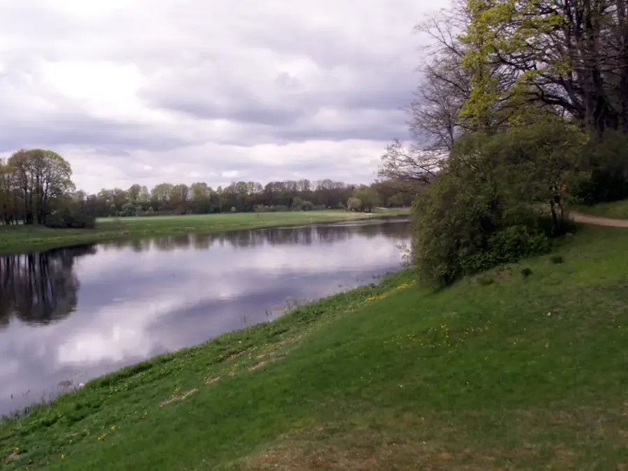
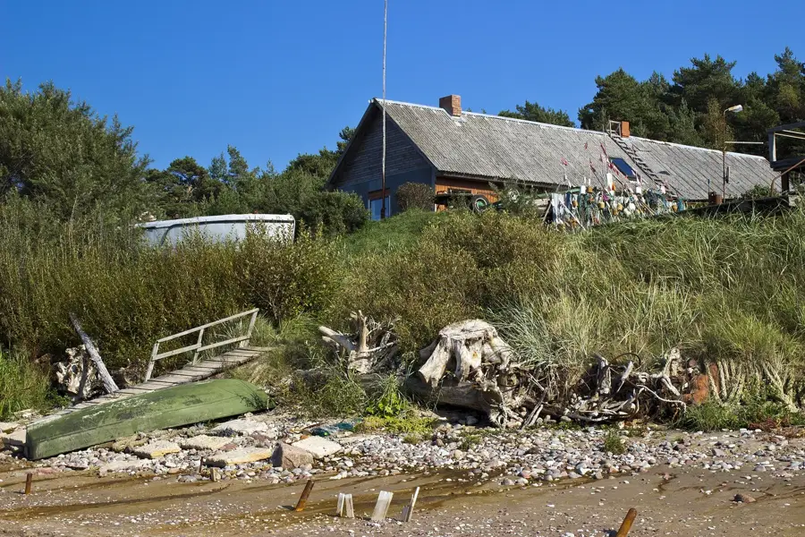
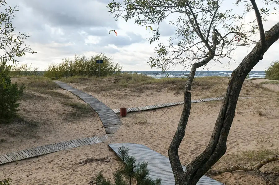
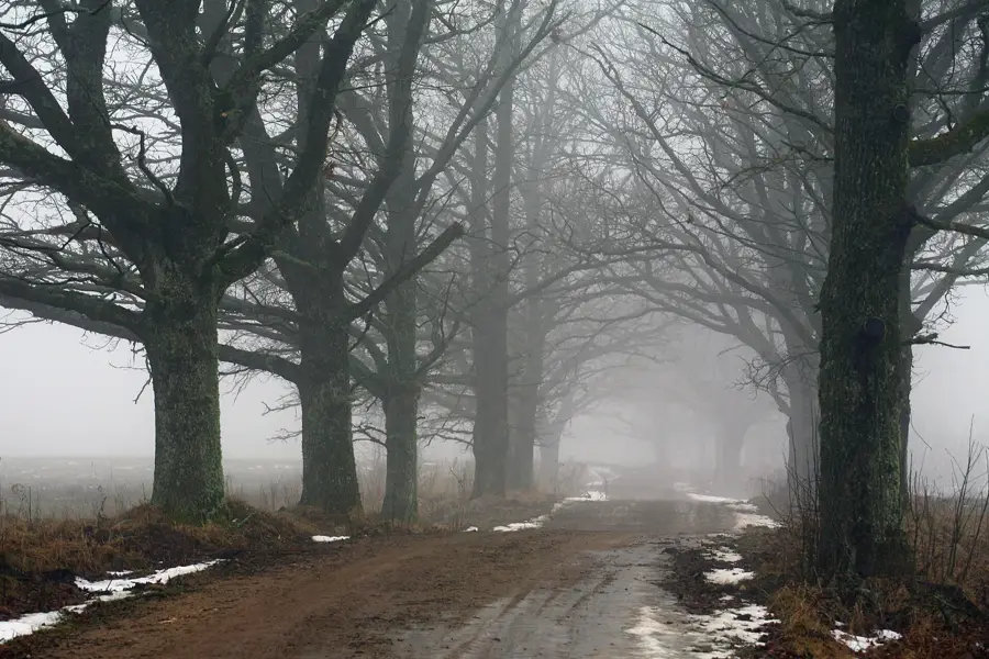
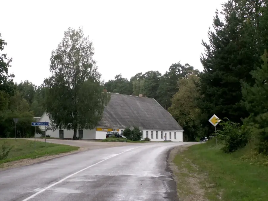
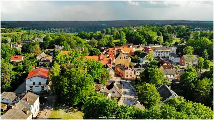
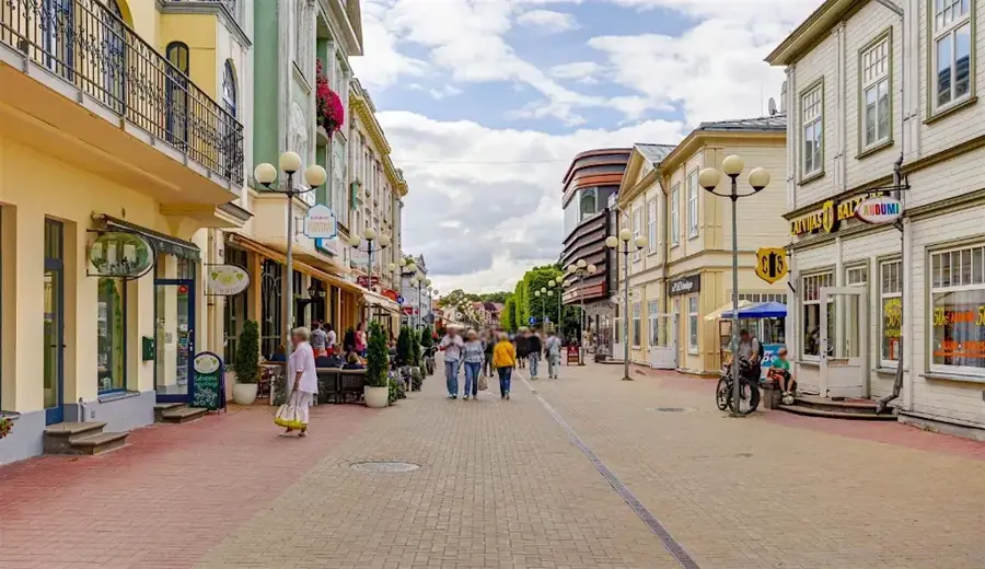
The Gudenieki Rise, locally known as Gudenieku pauguraine, is a prominent geographical feature in western Latvia, forming part of the Western Courland Highland. This rolling landscape is characterized by a series of gentle elevations that average between 40 and 65 meters above sea level. Geologically, the rise was shaped during the last ice age by glacial pressure, leading to the deposition of thick layers of glacial till and clay. This soil composition makes the region a fertile area that is intensively used for grain cultivation and cattle farming. The rise is intersected by numerous small watercourses that drain the terrain and flow into the Užava River. Botanically, the area gives a mix of heathlands, small marshy areas, and dense mixed forests, which serve as an important habitat for Latvian red deer. Historically, Gudenieki was known for its traditional Couronian lifestyle, which is still preserved today in the structure of its villages and isolated farmsteads. The region is also noted for its geological specifics, including small underground deposits of dolomite rock. Today, the Gudenieki Rise is a peaceful location admired for its broad vistas and authentic rural atmosphere.
- Location: Latvia
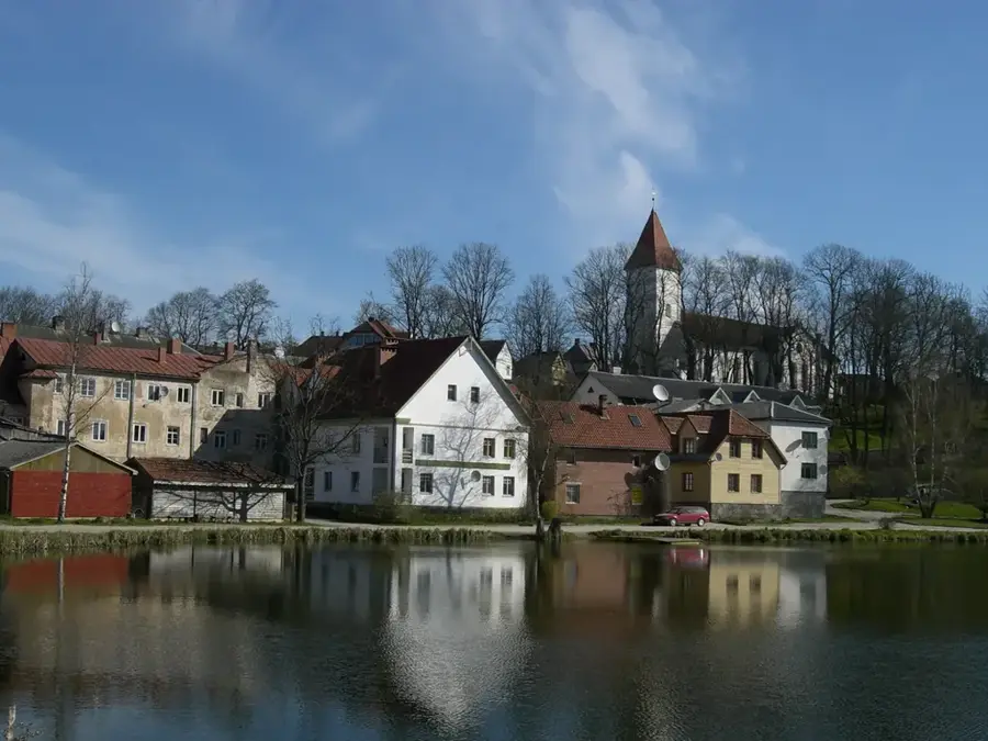
- Nearby: Gudenieki (7 km)
Best time to visit & climate
The most pleasant time to visit is Jun–Aug.
| Jan | Feb | Mar | Apr | May | Jun | Jul | Aug | Sep | Oct | Nov | Dec | |
|---|---|---|---|---|---|---|---|---|---|---|---|---|
| Avg °C | -1 | -1 | 1 | 5 | 10 | 14 | 18 | 18 | 14 | 9 | 5 | 2 |
| Rain mm | 59 | 43 | 40 | 33 | 37 | 53 | 70 | 74 | 58 | 74 | 72 | 68 |
📋 Practical info
Geography
Facts
- The highest point of the Gudenieki Rise reaches 68 meters above sea level.
- The terrain consists primarily of glacial till and moraine clay.
- The rise is located within the Baltic drainage basin of the Užava River.
- Traditional farming practices have shaped the landscape for centuries.
- Dolomite deposits are found at relatively shallow depths in this area.
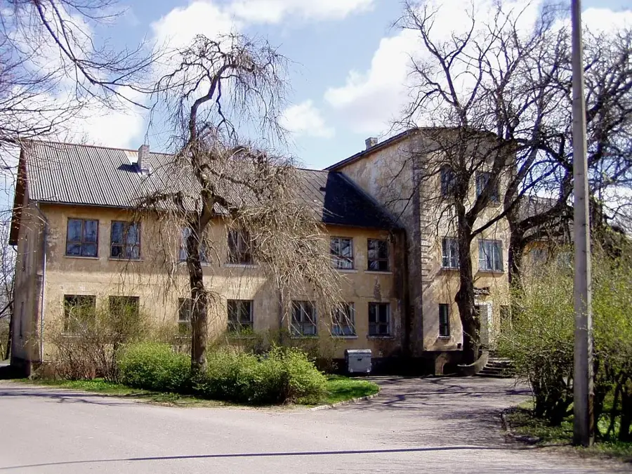
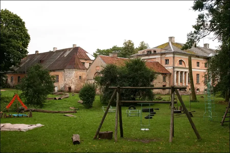
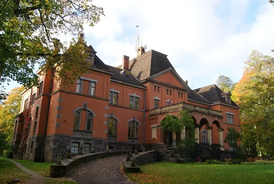
- The region is known for its high concentration of historical manor sites.
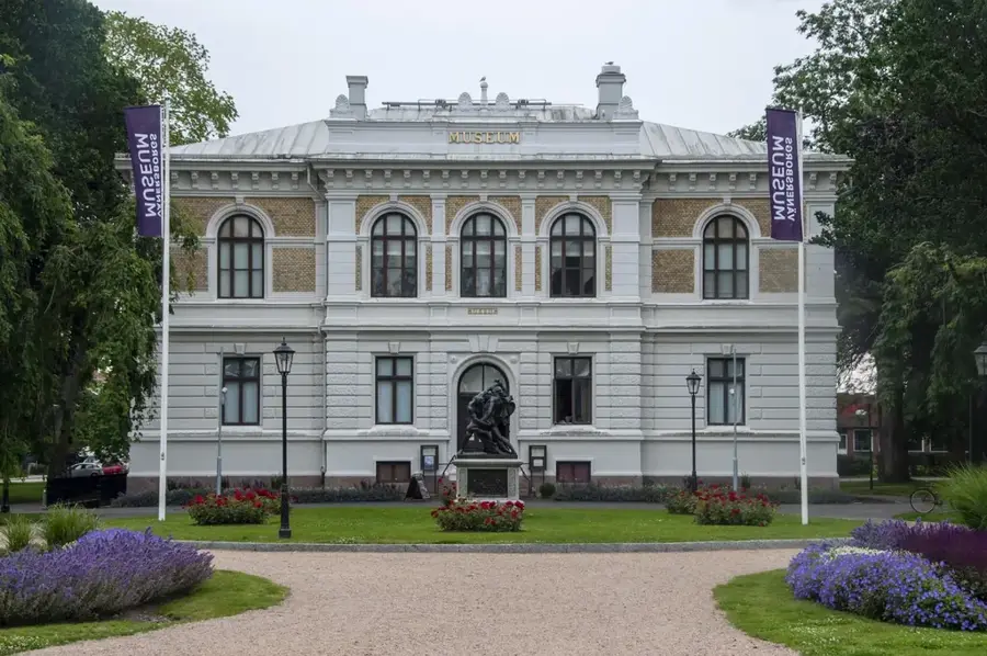
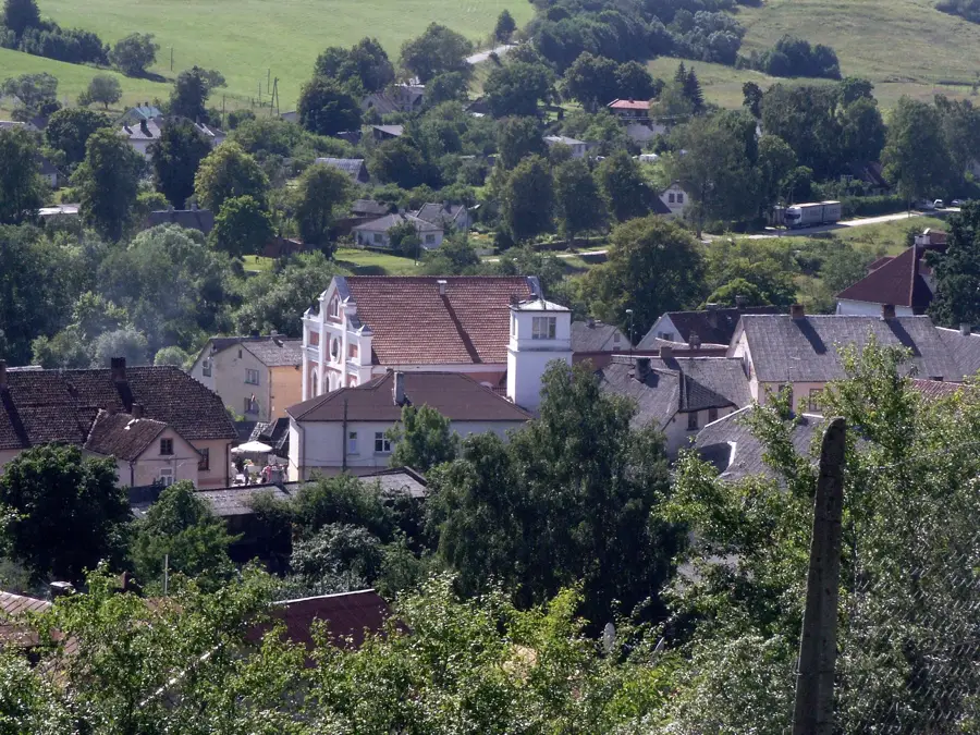
Explore nearby
Notable places around
Route planner — Car & Motorhome
Where do you start? We build the route here, with stops and country notes along the way.
© OpenStreetMap contributors · OpenRouteService
Sights in the town Gudenieki Rise (1)
Sights nearby
Frequently asked questions
What is the Gudenieki Rise?
Are there industrial facilities there?
What can you do in Gudenieki?
What birds nest here?
Is the soil rich in clay?
Gudenieki Rise: where is it located?
Gudenieki Rise: when is the best time to visit?
Gudenieki Rise: why is it worth visiting?

Nearby cities