Plizio Visual Lab
Gudenieki Ridge
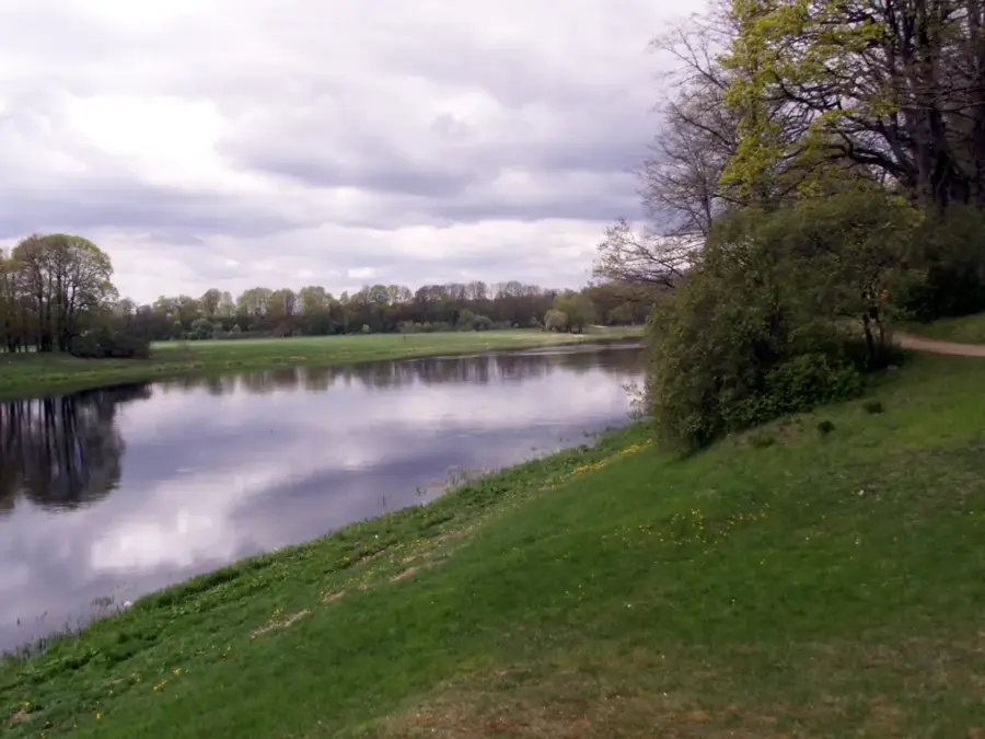
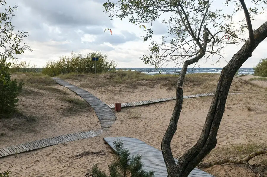
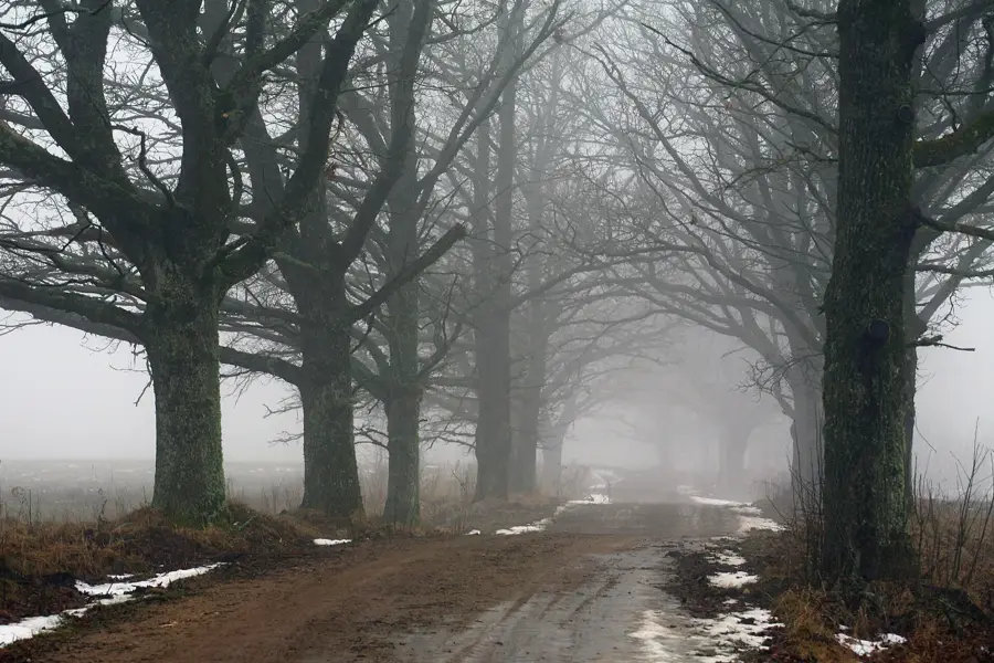
The Gudenieki Ridge is a distinct elevation in western Latvia, located in the Kuldīga municipality near the Baltic Sea coast. This ridge is of particular geological interest as it sits above one of the few known oil and gas deposits in Latvia. The relief was shaped by glacial processes during the last ice age, with deposits creating a series of hills and depressions that define the landscape. Historically, the Gudenieki region is a center of the Catholic Suiti enclave, whose rich cultural heritage is closely tied to this landscape. The ridge is partially covered by dense forests and provides habitat for protected plant species that thrive on the calcareous moraine soils. Today, the area is used for both forestry and geological exploration. The combination of unique cultural history and specific geological conditions makes the Gudenieki Ridge a fascinating part of Couronian geography.
- Location: Latvia
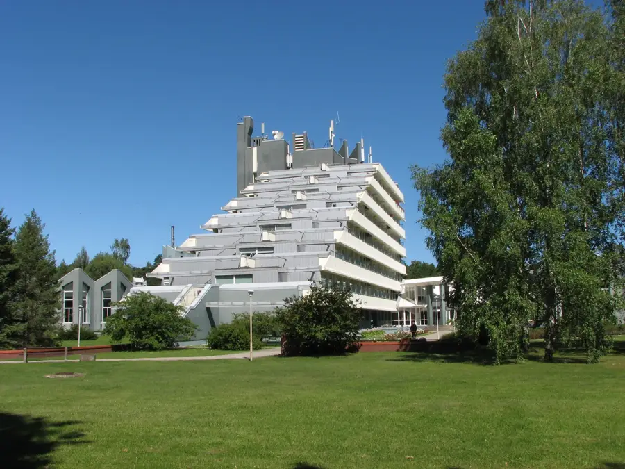
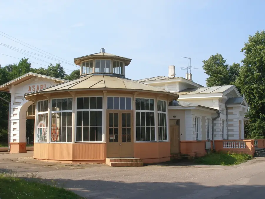
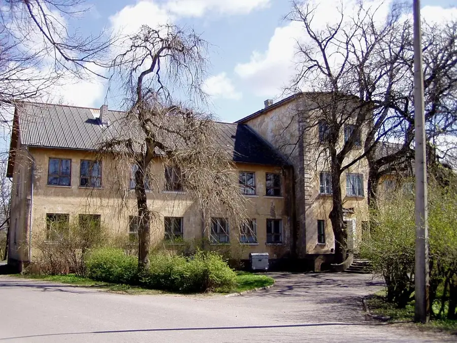
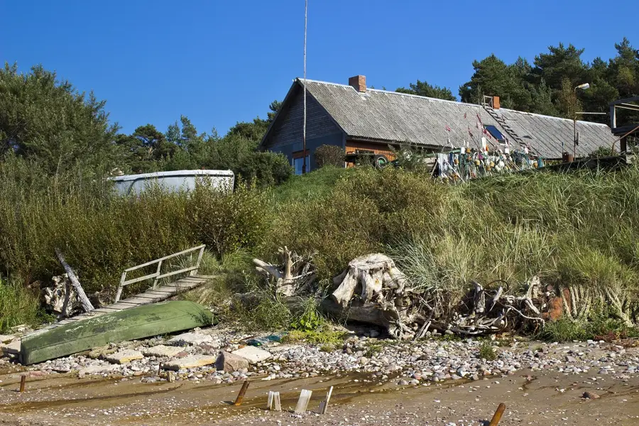
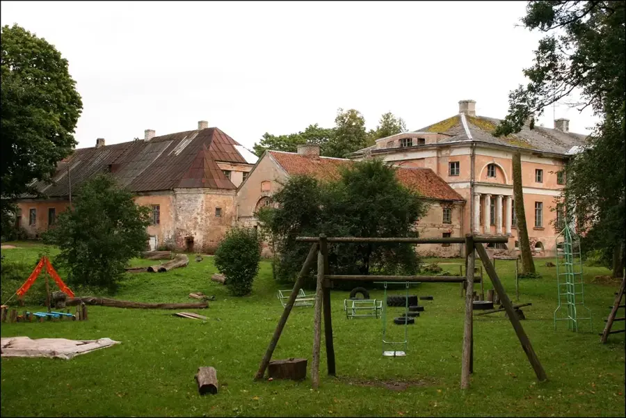
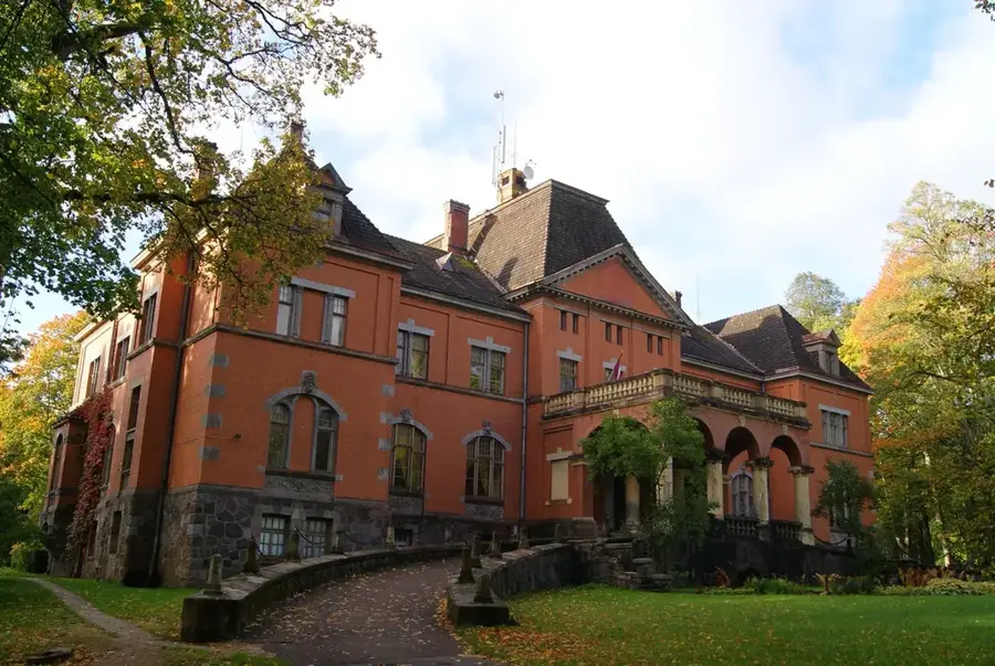
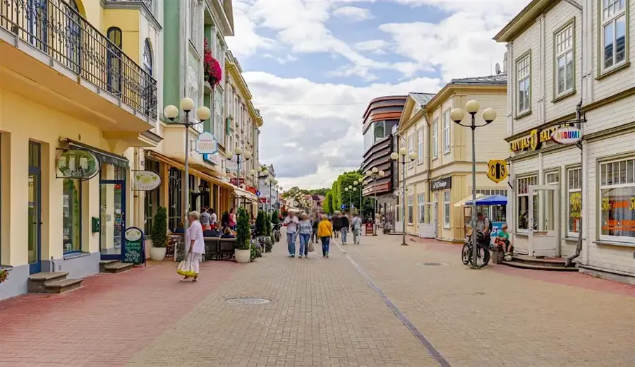
- Top sights: Almāles muiža · dabas parks ,,Pinku ezers"
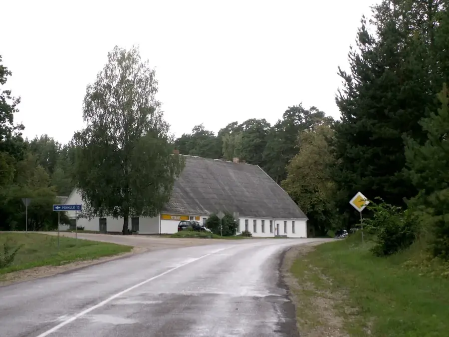
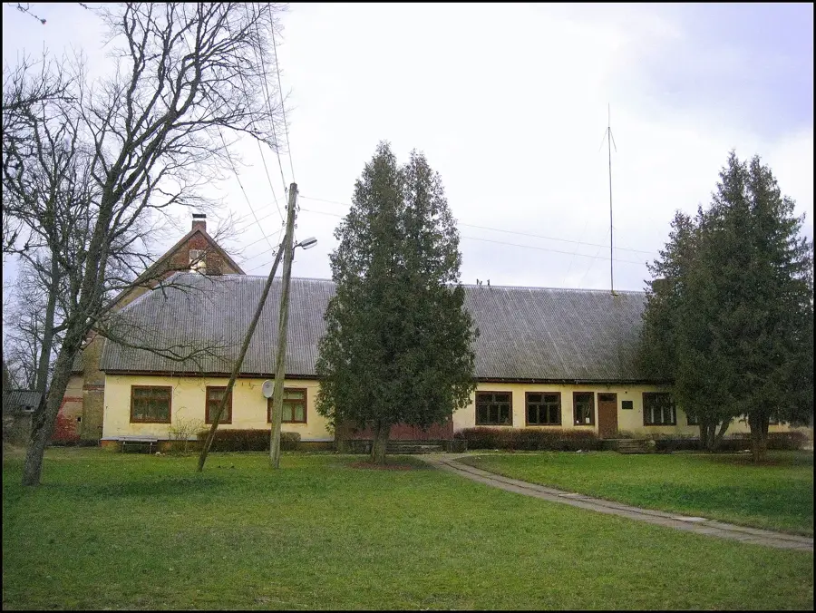
- Nearby: Gudenieki (9 km)
Best time to visit & climate
The most pleasant time to visit is Jun–Aug.
| Jan | Feb | Mar | Apr | May | Jun | Jul | Aug | Sep | Oct | Nov | Dec | |
|---|---|---|---|---|---|---|---|---|---|---|---|---|
| Avg °C | -1 | -1 | 1 | 5 | 10 | 14 | 18 | 18 | 14 | 9 | 5 | 2 |
| Rain mm | 59 | 43 | 40 | 33 | 37 | 53 | 70 | 74 | 58 | 74 | 72 | 68 |
📋 Practical info
Geography
Facts
- Located in western Kurzeme in the Kuldīga municipality.
- Home to one of the few oil deposits in the Baltic states.
- Part of the historical settlement region of the Suiti community.
- Formed by glacial dynamics approximately 12,000 years ago.
- The soils have a high lime content.
- Provides nesting sites for rare birds of prey, such as the lesser spotted eagle.
Explore nearby
Notable places around
Route planner — Car & Motorhome
Where do you start? We build the route here, with stops and country notes along the way.
© OpenStreetMap contributors · OpenRouteService
Sights in the town Gudenieki Ridge (2)
Sights nearby
Frequently asked questions
What is special about the Gudenieki Ridge?
Are there rare plant species there?
Is camping allowed in the area?
How do you reach the ridge?
Are there cafes or restaurants on-site?
Gudenieki Ridge: where is it located?
Gudenieki Ridge: what is there to see?
Gudenieki Ridge: when is the best time to visit?
Gudenieki Ridge: why is it worth visiting?

Nearby cities