Plizio Visual Lab
Ezere Ridge
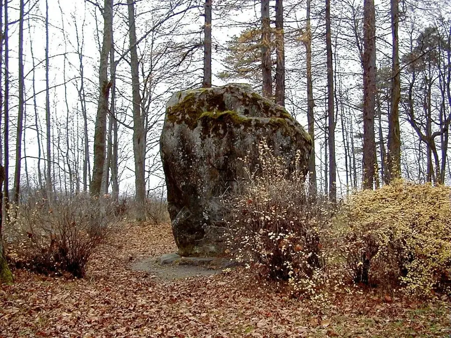
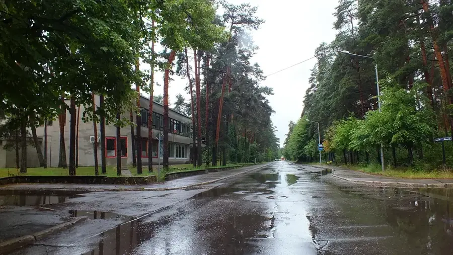
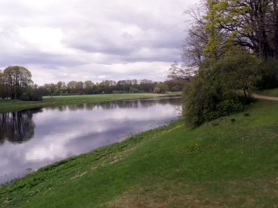
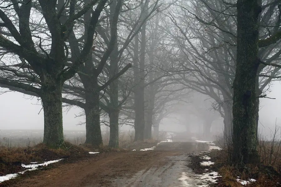
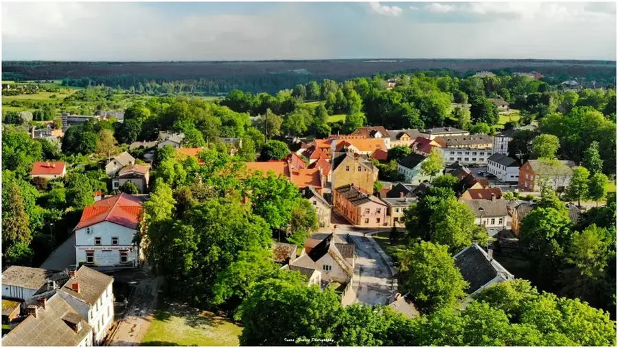
The Ezere Ridge, locally known as Ezeres pauguraine, is situated in the southern part of the Western Courland Highland in southwestern Latvia. This hilly formation was shaped during the last glacial period through the accumulation of moraine materials and glacial meltwater deposits. Elevations in this area typically range between 90 and 110 meters above sea level, standing out significantly from the surrounding lowlands. The Vadakste River flows along the southern edge of the ridge, forming a natural boundary between Latvia and Lithuania in this sector. The landscape is characterized by a mix of dense coniferous forests and agricultural fields, which benefit from the varied soil composition of glacial origin. Historically, the ridge has been a site for rural settlements due to its well-drained soils and strategic position near the border. Today, it remains an important area for forestry and ecological preservation, hosting various species of flora and fauna typical of the Baltic highlands.
- Location: Latvia
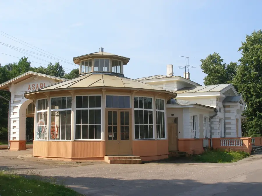
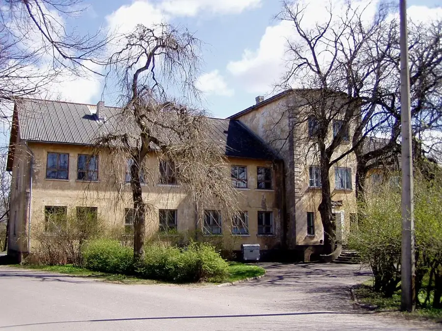
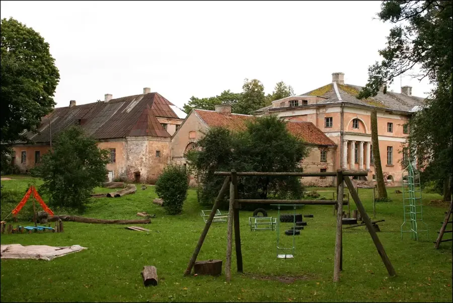
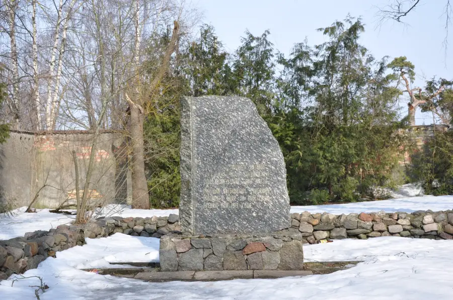
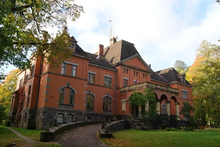
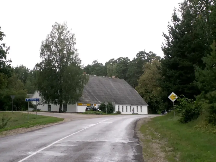
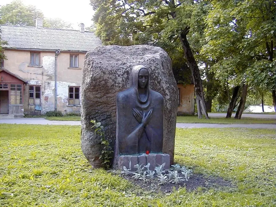
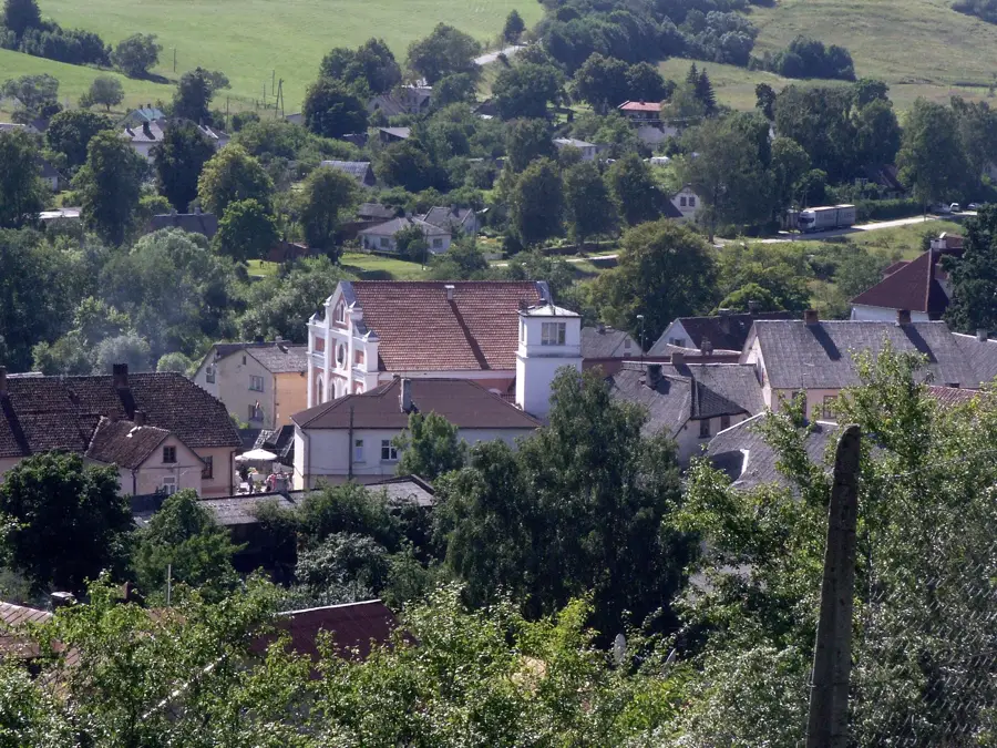
- Top sights: Ezeres muiža · Muitas nams
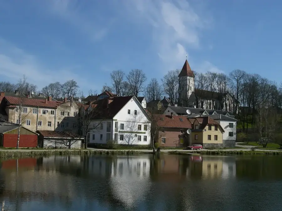
- Nearby: Kursīši (18 km)
Best time to visit & climate
The most pleasant time to visit is Jun–Aug.
| Jan | Feb | Mar | Apr | May | Jun | Jul | Aug | Sep | Oct | Nov | Dec | |
|---|---|---|---|---|---|---|---|---|---|---|---|---|
| Avg °C | -4 | -4 | 0 | 5 | 11 | 15 | 18 | 17 | 13 | 7 | 2 | -2 |
| Rain mm | 52 | 39 | 40 | 38 | 50 | 69 | 79 | 73 | 54 | 68 | 63 | 56 |
📋 Practical info
Geography
Facts
- The Ezere Ridge is part of the Western Courland Highland system.
- Maximum elevations in the area reach up to 110 meters above sea level.
- The Vadakste River serves as a natural border with Lithuania here.
- Glacial moraine deposits dominate the geological structure of the ridge.
- The area is characterized by high biodiversity in its forest ecosystems.
- The relief was formed during the final stages of the Weichselian glaciation.
Explore nearby
Notable places around
Route planner — Car & Motorhome
Where do you start? We build the route here, with stops and country notes along the way.
© OpenStreetMap contributors · OpenRouteService
Sights in the town Ezere Ridge (2)
Sights nearby
Frequently asked questions
What is the Ezere Ridge?
Is the ridge forested?
Are there lakes near the Ezere Ridge?
Is the terrain suitable for trail running?
Can you collect mushrooms here?
Ezere Ridge: where is it located?
Ezere Ridge: what is there to see?
Ezere Ridge: when is the best time to visit?
Ezere Ridge: why is it worth visiting?

Nearby cities