Plizio Visual Lab
Bērze Rise
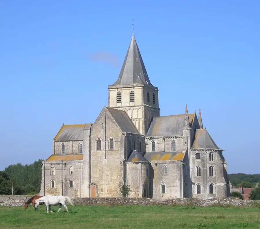
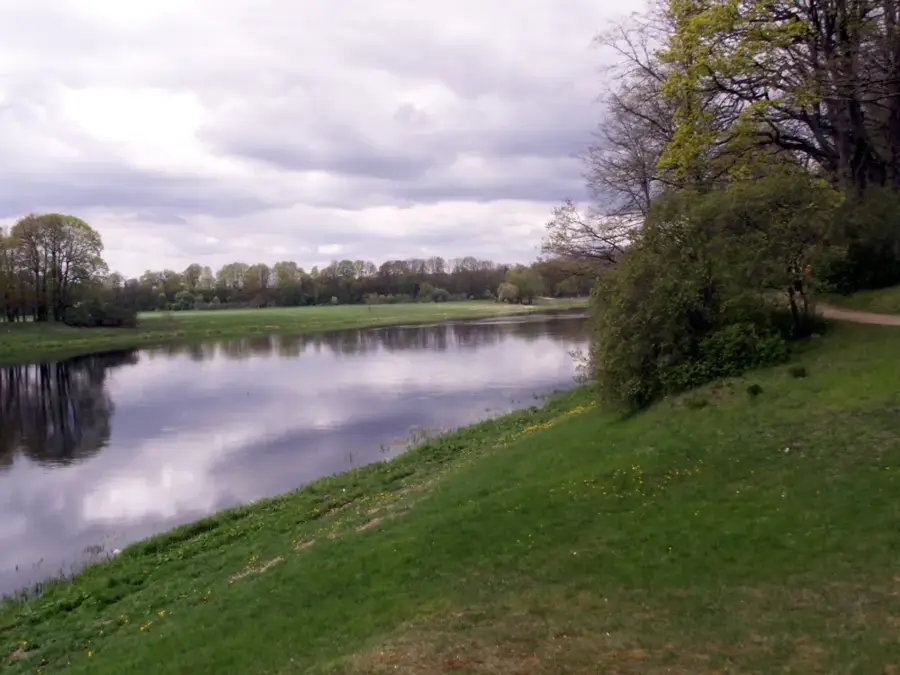
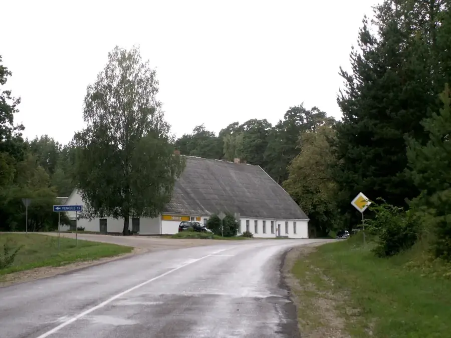
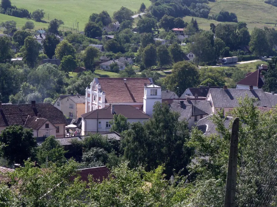
The Bērze Rise is an elevated geographical area situated in the transition zone between the flat Zemgale Plain and the more rugged uplands of Kurzeme. Located near the town of Dobele and the Bērze River, this rise represents a subtle but significant shift in the regional topography. The underlying geological structure is composed of Devonian dolomite and limestone, covered by a layer of quaternary glacial deposits. The Bērze River, which flows along the edge of the rise, has carved a distinct valley over millennia, contributing to the varied relief of the area. The vegetation on the rise is a mix of fertile arable land and small deciduous forests, with oak and lime trees being common features of the landscape. Historically, the Bērze Rise provided slightly better drainage and defensive positions compared to the surrounding lowlands, influencing the location of early settlements. Today, the area is an important agricultural zone, while also offering scenic vistas that contrast with the nearby flat horizons of the Zemgale region.
- Location: Latvia
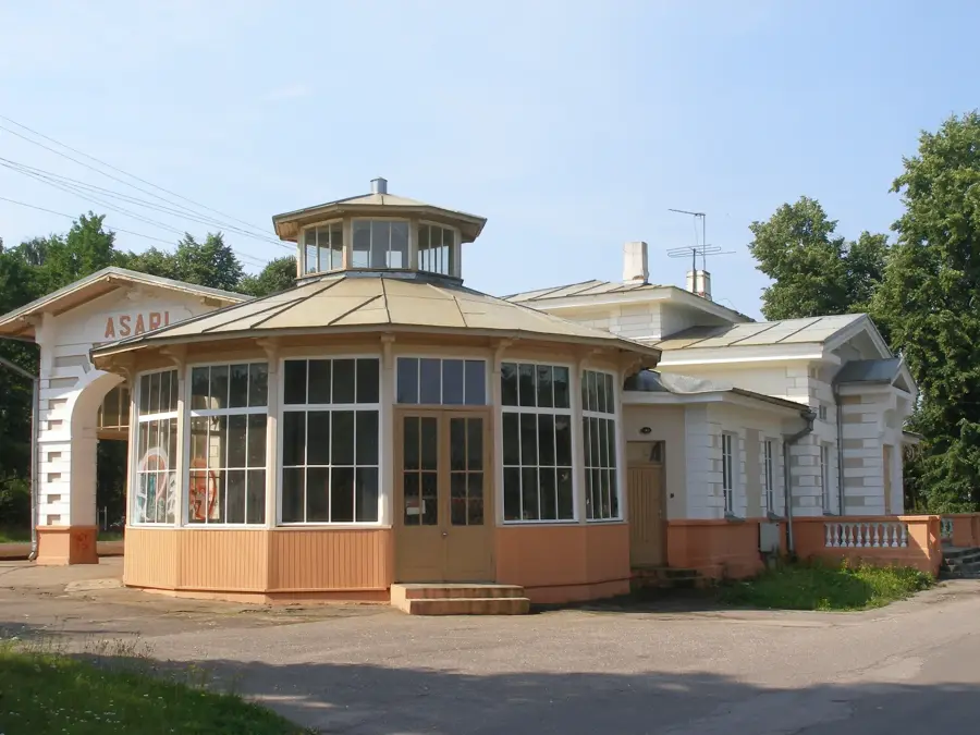
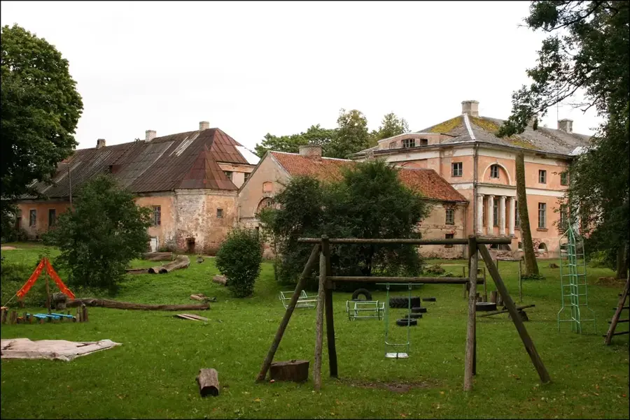
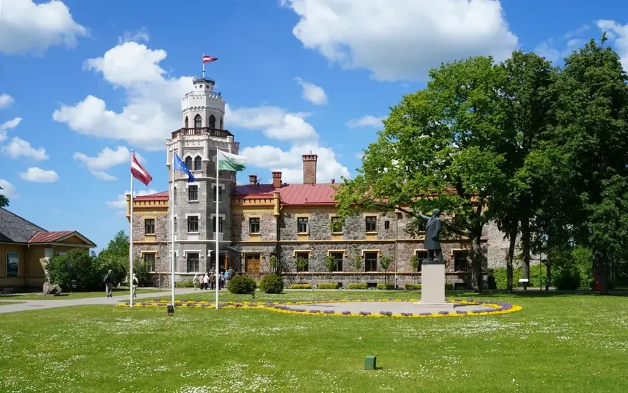
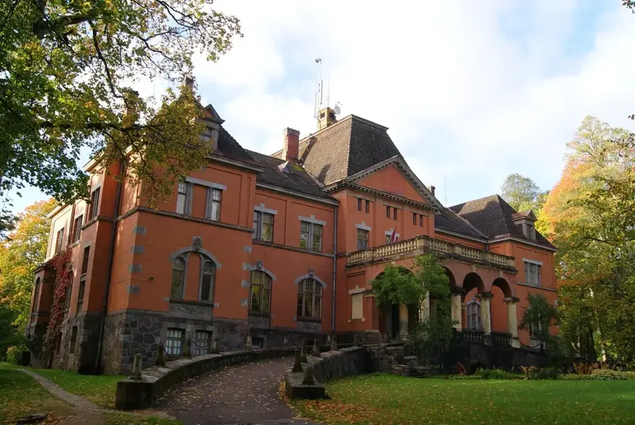
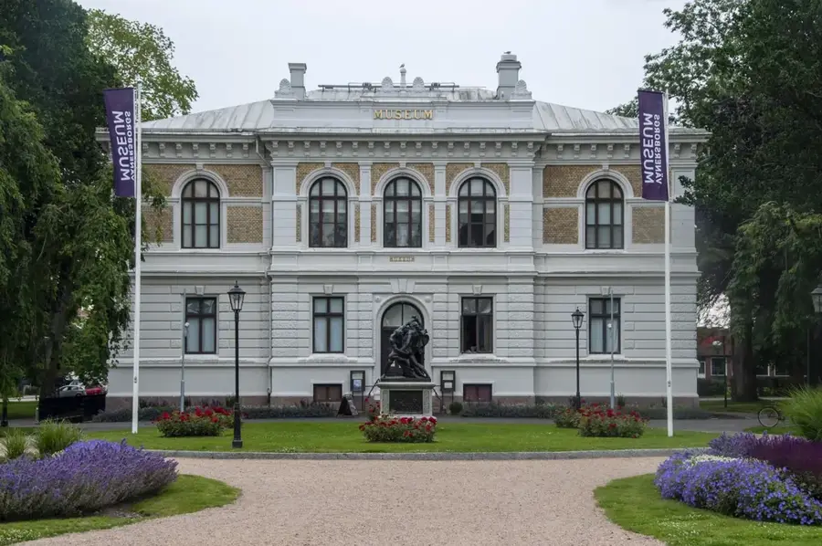
- Top sights: Virkusmuiža · Kreijas muiža
- Nearby: Bērze (4 km)
Best time to visit & climate
The most pleasant time to visit is Jun–Aug.
| Jan | Feb | Mar | Apr | May | Jun | Jul | Aug | Sep | Oct | Nov | Dec | |
|---|---|---|---|---|---|---|---|---|---|---|---|---|
| Avg °C | -5 | -5 | -1 | 6 | 12 | 16 | 18 | 17 | 13 | 6 | 2 | -2 |
| Rain mm | 50 | 42 | 40 | 44 | 52 | 74 | 81 | 74 | 52 | 67 | 64 | 53 |
📋 Practical info
Geography
Facts
- An elevated area situated between the Bērze and Dobele regions.
- Represents a transition zone between Zemgale and Kurzeme.
- The Bērze River flows through the base of the rise.
- Its geological foundation consists of Devonian dolomite.
- Features a mix of arable land and small deciduous groves.
- Elevation points reach approximately 50-60 meters.
Explore nearby
Notable places around
Route planner — Car & Motorhome
Where do you start? We build the route here, with stops and country notes along the way.
© OpenStreetMap contributors · OpenRouteService
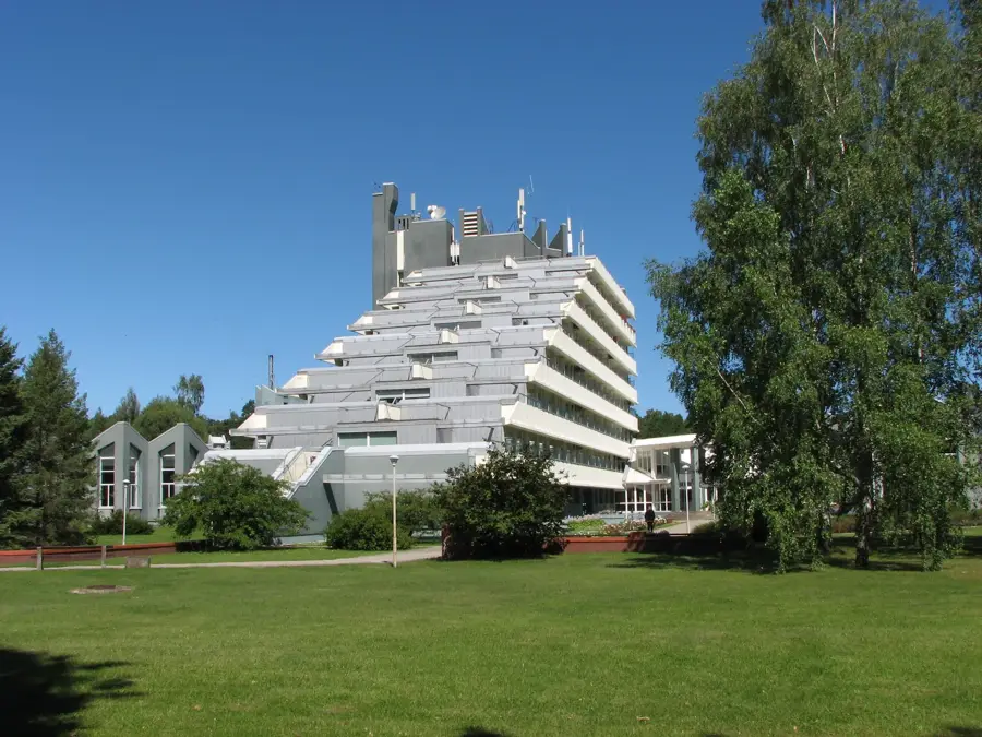
Sights in the town Bērze Rise (2)
Sights nearby
Frequently asked questions
What is the Bērze Rise?
Does the rise offer good viewpoints?
Is the terrain suitable for walking?
What kind of flora can be found here?
Can you drive up the rise by car?
Bērze Rise: where is it located?
Bērze Rise: what is there to see?
Bērze Rise: when is the best time to visit?
Bērze Rise: why is it worth visiting?

Nearby cities