Plizio Visual Lab
Augstzeme Highland

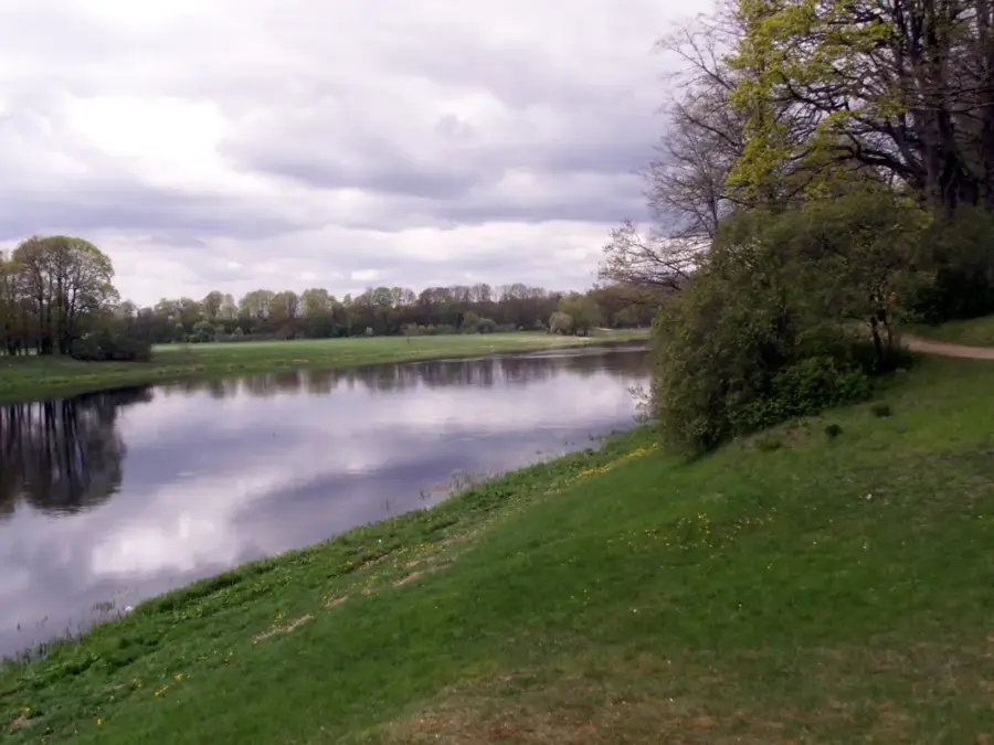
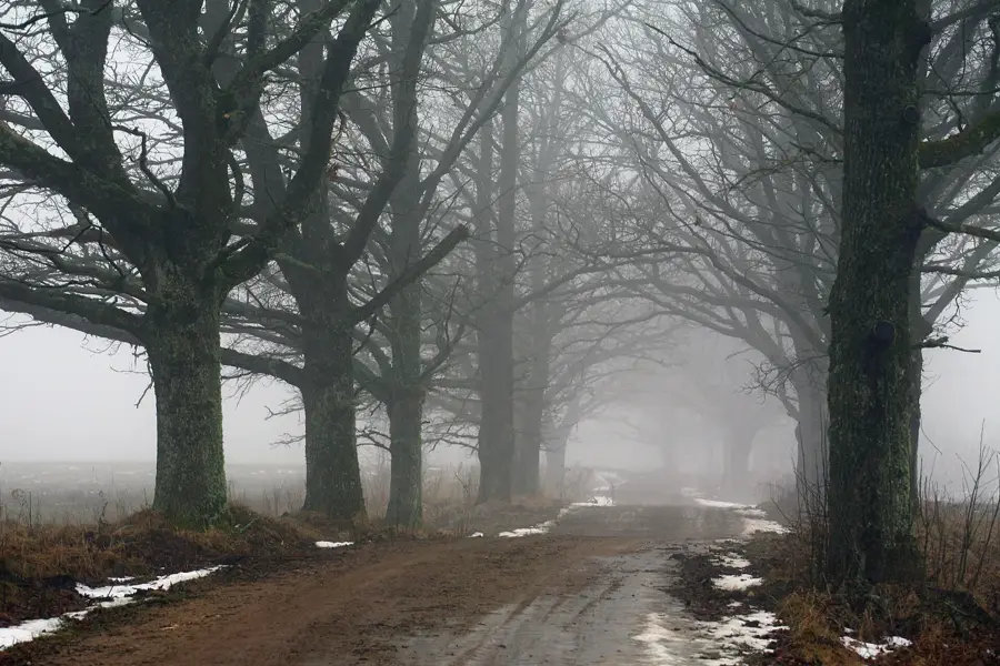
The Augstzeme Highland, also known as the Sēlija Highland, extends across southeastern Latvia along the border with Lithuania. It is characterized by an exceptionally diverse relief, defined by deep river valleys, numerous lakes, and prominent hill ridges. The region's highest elevation is Egļukalns, reaching 220.1 meters above sea level. Geomorphologically, the highland was formed by the activity of glacial lobes during the final stages of the last glaciation, resulting in the creation of complex terminal moraines. Historically, the area is closely linked to the Selonian tribe, whose settlement patterns are still visible today in the form of numerous hillforts. The landscape consists of a mosaic of agricultural lands and extensive forests that host high biological diversity. In modern regional development, Augstzeme plays a key role in nature tourism and the preservation of the Sēlija region's cultural heritage. The highland's hydrological systems feed many tributaries of the Daugava River and contribute significantly to the water regulation of the entire region.
- Location: Latvia
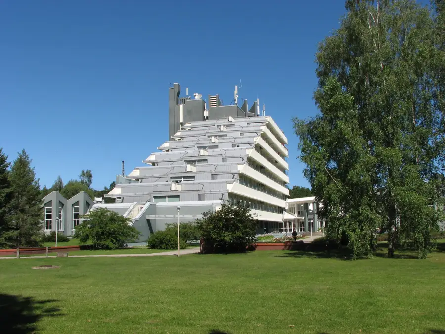
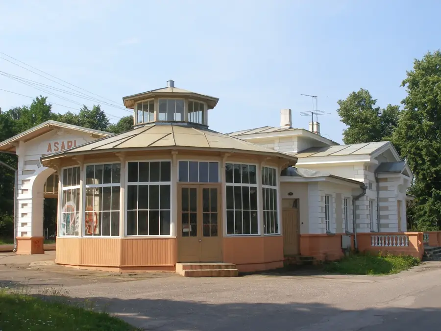
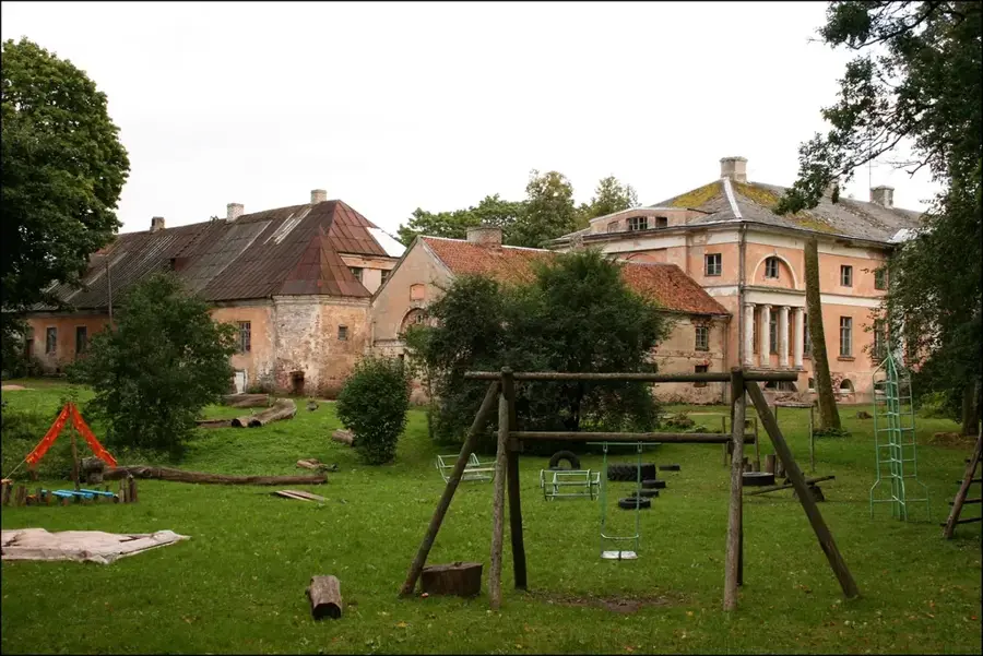
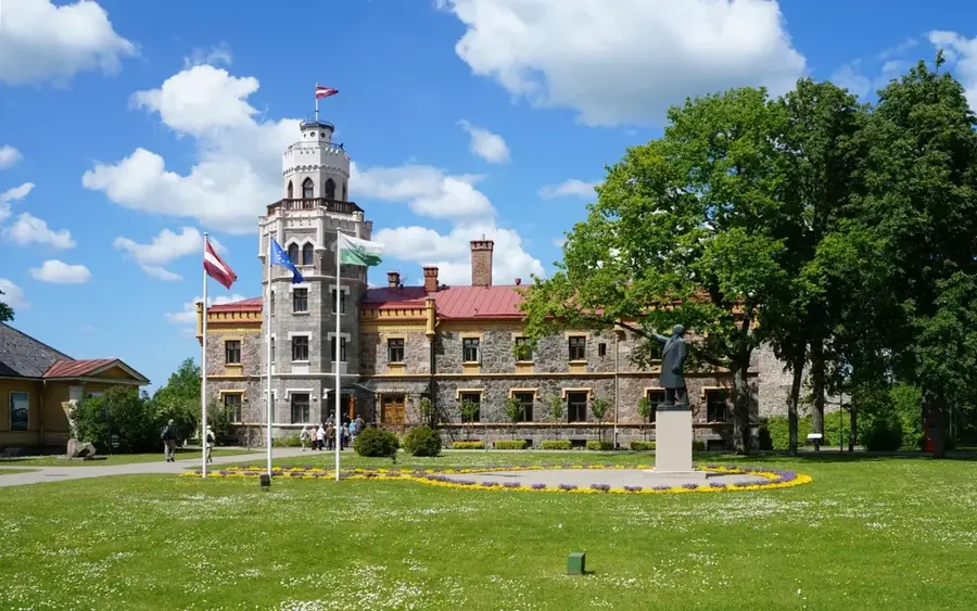
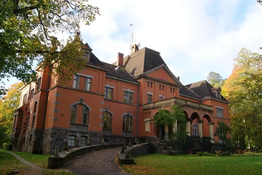
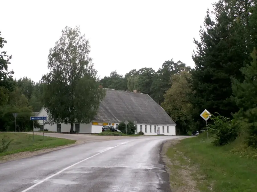
- Top sights: Kreijas muiža · Virkusmuiža
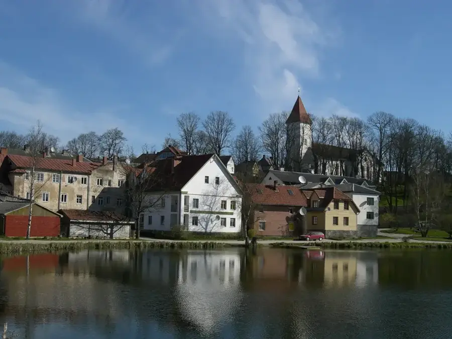
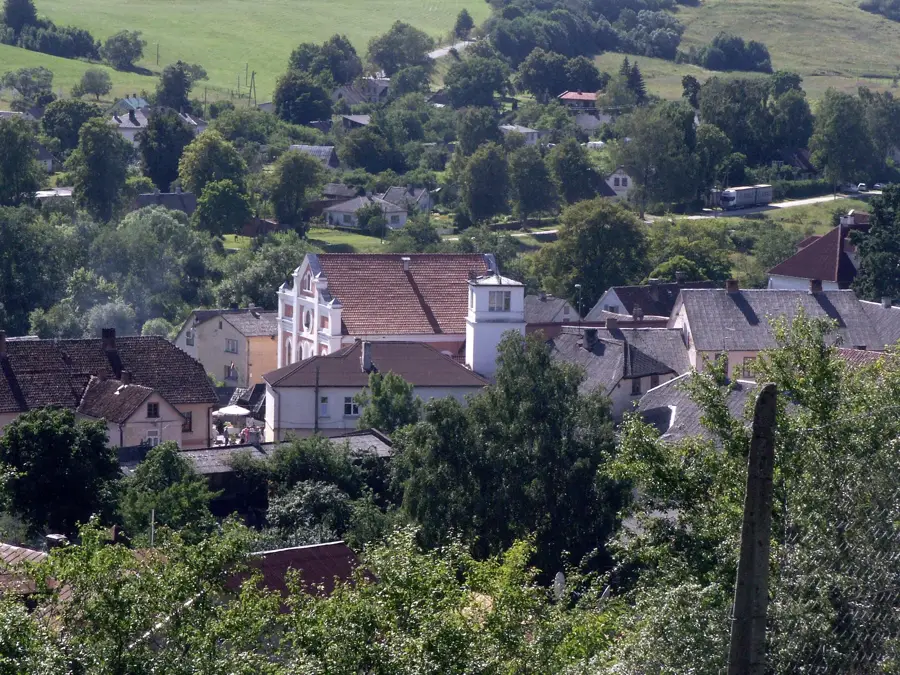
- Nearby: Tērvete (17 km)
Best time to visit & climate
The most pleasant time to visit is Jun–Aug.
| Jan | Feb | Mar | Apr | May | Jun | Jul | Aug | Sep | Oct | Nov | Dec | |
|---|---|---|---|---|---|---|---|---|---|---|---|---|
| Avg °C | -5 | -5 | -1 | 6 | 12 | 16 | 18 | 17 | 13 | 6 | 2 | -2 |
| Rain mm | 50 | 42 | 40 | 44 | 52 | 74 | 81 | 74 | 52 | 67 | 64 | 53 |
📋 Practical info
Geography
Facts
- The highest peak is Egļukalns, standing at 220.1 meters.
- The highland covers the southern part of the Sēlija region.
- It contains over 50 lakes with a surface area exceeding 10 hectares.
- The geological structure consists of thick Quaternary deposits.
- The 'Svente' Nature Park is located within this highland area.
- The region directly borders the Aukštaitija Highland in Lithuania.
Explore nearby
Notable places around
Route planner — Car & Motorhome
Where do you start? We build the route here, with stops and country notes along the way.
© OpenStreetMap contributors · OpenRouteService
Sights in the town Augstzeme Highland (2)
Sights nearby
Frequently asked questions
Where is the Augstzeme Highland located?
What is typical of this landscape?
Is hiking possible there?
Which towns are in the region?
When is the best time to visit?
Augstzeme Highland: where is it located?
Augstzeme Highland: what is there to see?
Augstzeme Highland: when is the best time to visit?
Augstzeme Highland: why is it worth visiting?

Nearby cities