Plizio Visual Lab
Nam Song River
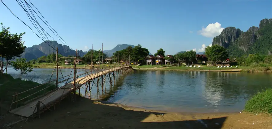
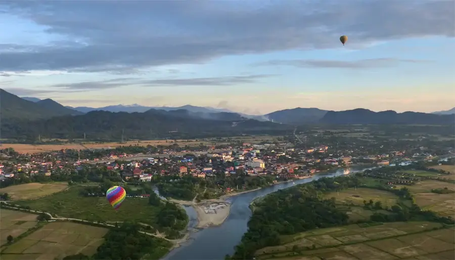
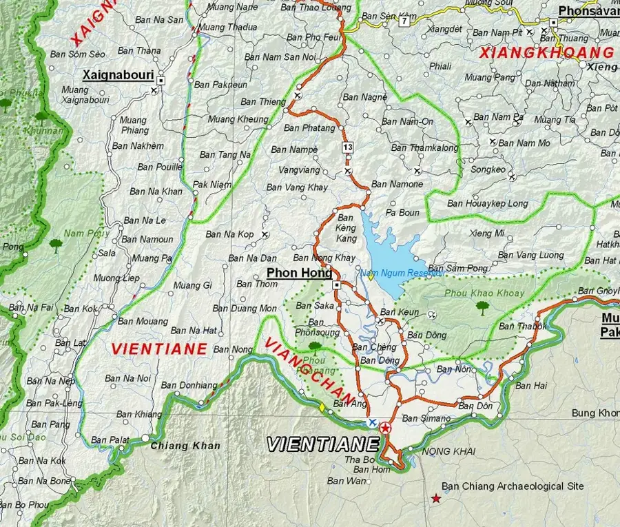
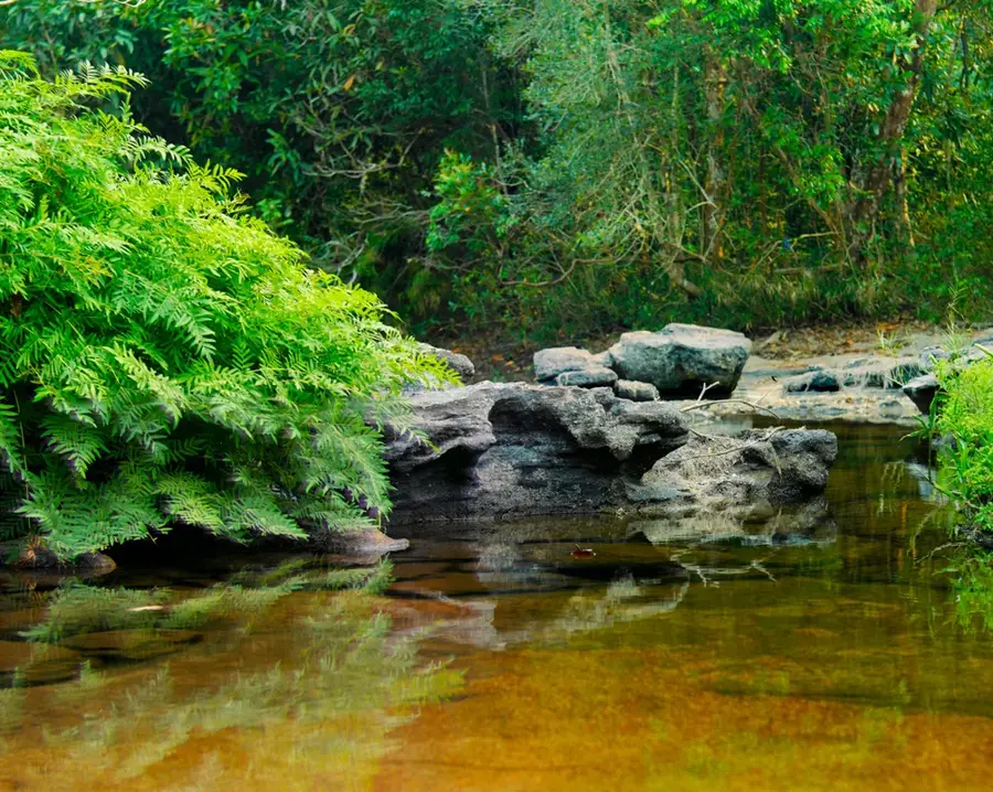
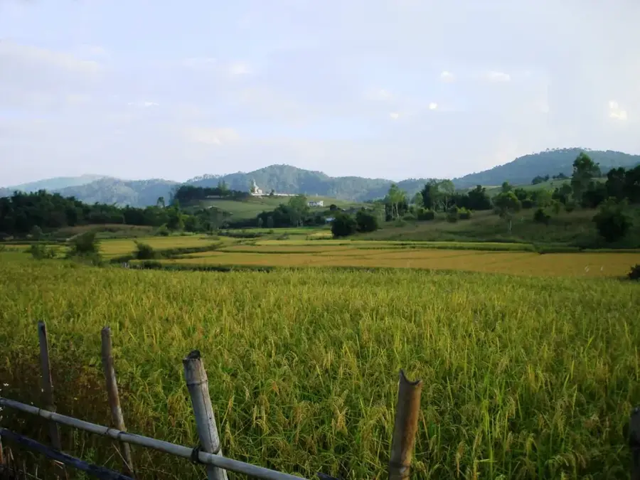
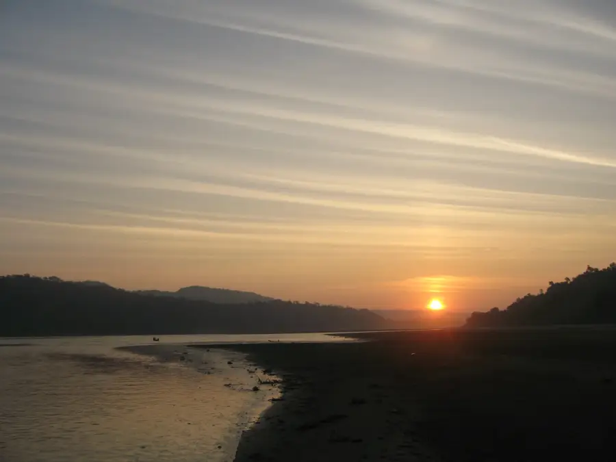
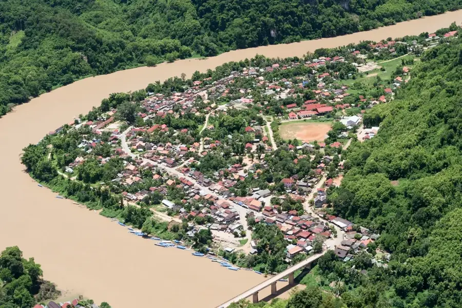
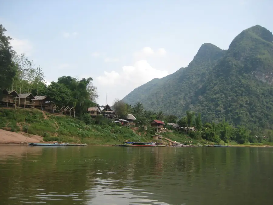
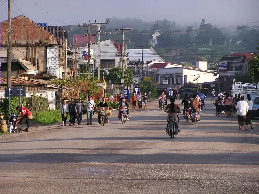
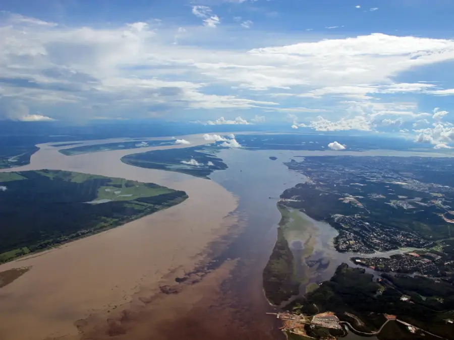
The Nam Song River is a photogenic waterway in Vientiane Province, most famous for its impressive location at the foot of the karst mountains in Vang Vieng. Flowing from north to south, it eventually merges with the Nam Ngum River. The river is the lifeblood of the local community, supporting both traditional agriculture and a thriving tourism industry. While it was once synonymous with high-energy tubing, the focus has shifted toward eco-friendly activities like kayaking and scenic riverside walks. The surrounding landscape is characterized by dramatic limestone cliffs, hidden caves, and dense tropical jungle. Small villages dot the riverbanks, where inhabitants continue to practice age-old fishing techniques. The Nam Song is particularly dramatic at sunset, as the silhouette of the jagged peaks reflects in the calm waters. It provides a peaceful and serene environment, highlighting the natural beauty of central Laos.
- Location: Laos
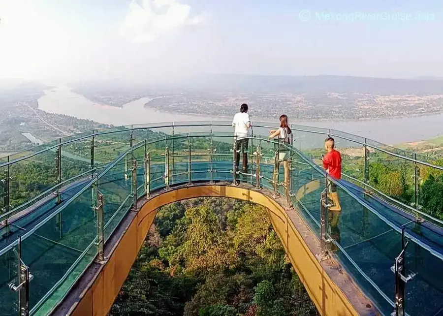
- Top sights: Free point of view · Phou Pahok · Phou Houayhok
- Nearby: Phonhong (11 km)
Best time to visit & climate
The most pleasant time to visit is Feb, Nov, Dec.
| Jan | Feb | Mar | Apr | May | Jun | Jul | Aug | Sep | Oct | Nov | Dec | |
|---|---|---|---|---|---|---|---|---|---|---|---|---|
| Avg °C | 19 | 22 | 25 | 27 | 26 | 26 | 25 | 25 | 25 | 24 | 22 | 19 |
| Rain mm | 9 | 6 | 28 | 51 | 120 | 126 | 182 | 209 | 137 | 53 | 15 | 7 |
📋 Practical info
Geography
Facts
- The river flows directly through the town of Vang Vieng.
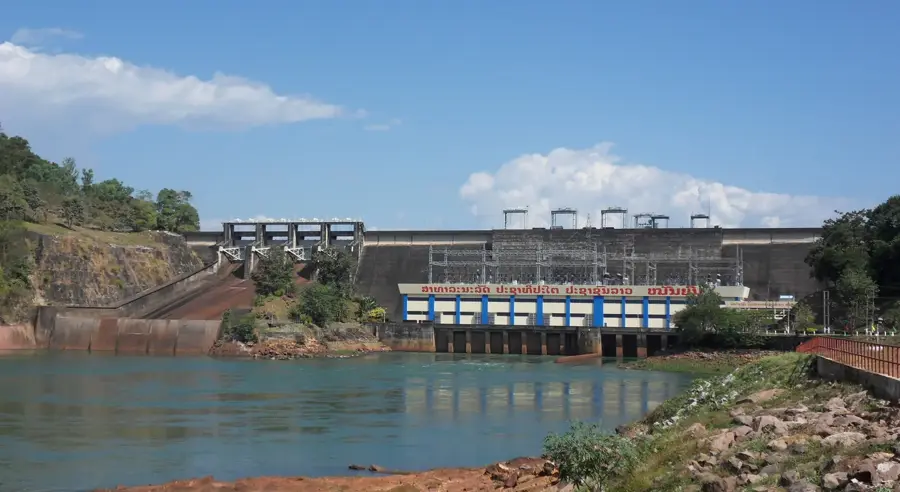
- It is a major tributary of the Nam Ngum River.
- The surrounding karst formations are popular for rock climbing.
- Kayaking is one of the most popular activities for visitors.
- The famous Tham Jang cave is located near the riverbank.
- Water levels can rise significantly during the monsoon season.
Explore nearby
Notable places around
Route planner — Car & Motorhome
Where do you start? We build the route here, with stops and country notes along the way.
© OpenStreetMap contributors · OpenRouteService
Sights in the town Nam Song River (8)
Sights nearby
Frequently asked questions
What is the Nam Song River known for?
What is tubing?
Is the river safe for activities?
Can you rent bicycles near the river?
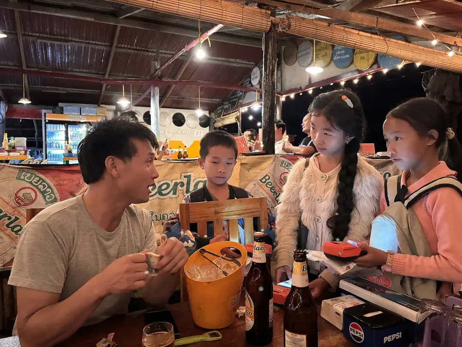
Are there bars along the riverbank?
Nam Song River: where is it located?
Nam Song River: what is there to see?
Nam Song River: when is the best time to visit?
Nam Song River: why is it worth visiting?

Nearby cities

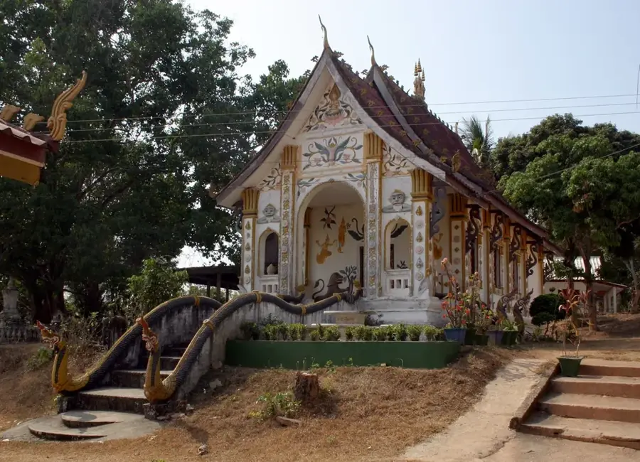

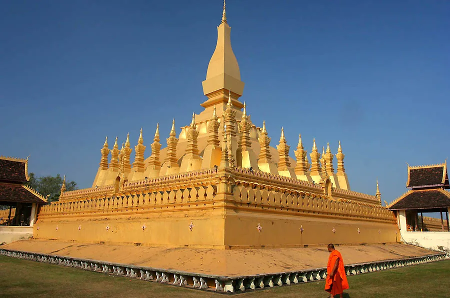
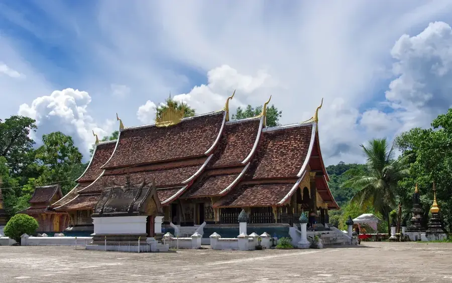
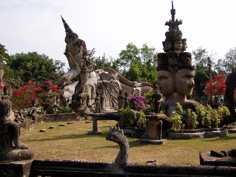
History & landmarks
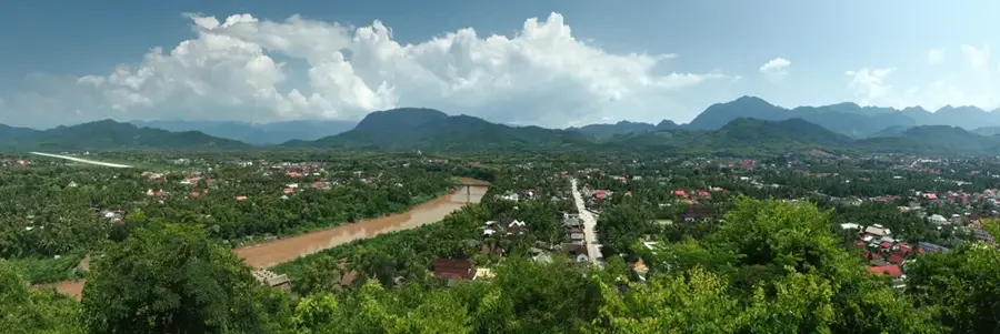
Nature
More places