Plizio Visual Lab
Phou Khoun Pass
Weather…
Water temperature…
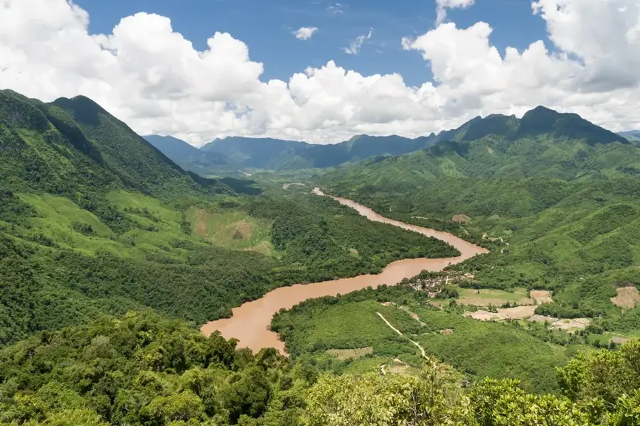
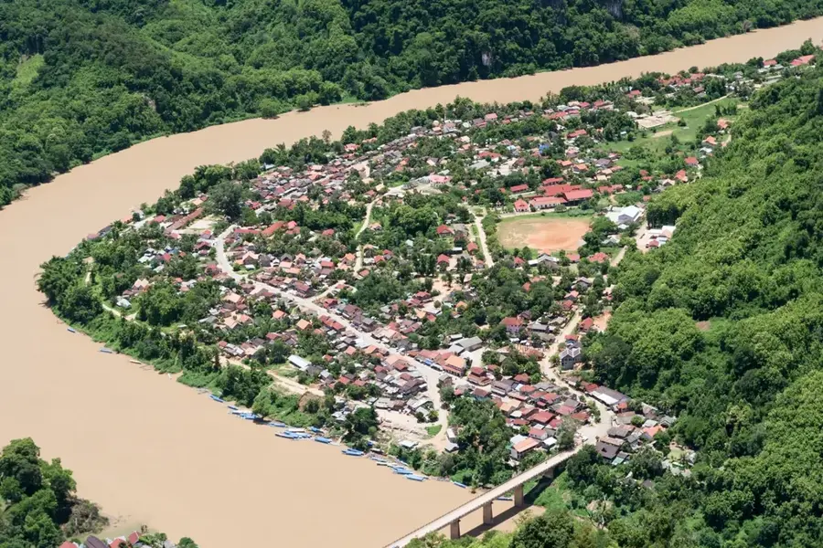
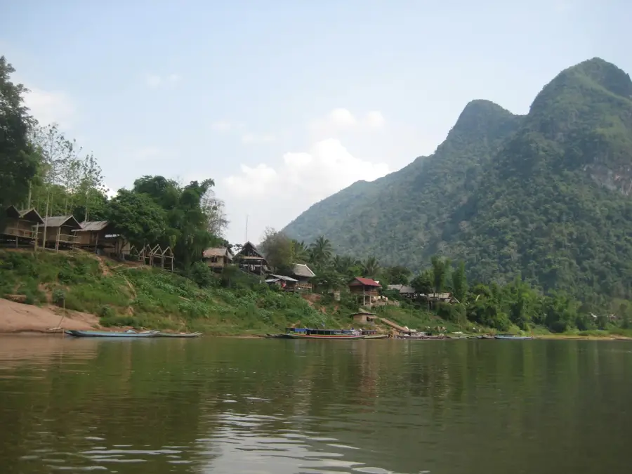
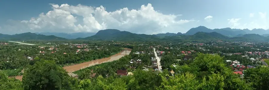
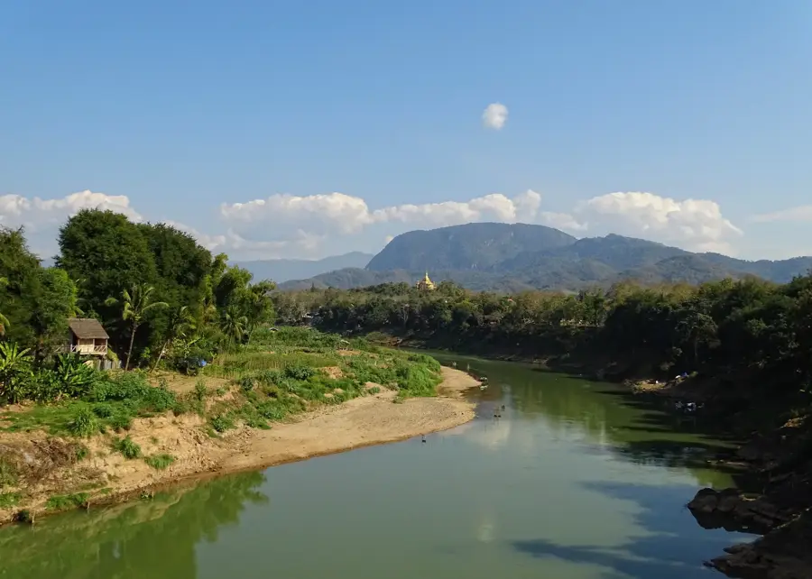
The Phou Khoun Pass is one of the most strategically important and scenically impressive mountain passes in northern Laos, connecting the provinces of Luang Prabang and Vientiane. At an elevation of around 1,300 meters, the road winds through a spectacular karst landscape that is often shrouded in dense clouds and mystical fog. The location serves as a crucial transportation hub where National Route 13 meets National Route 7, which leads further east toward the Plain of Jars. Historically, the pass was heavily contested during the Indochinese conflicts due to its strategic position, giving it a significant role in the country's modern history. Today, the summit of the pass is known for its small Hmong settlements and local markets where farmers from the cooler mountain regions sell fresh produce like strawberries and vegetables. The viewpoints along the winding pass road offer sweeping panoramas of the deep valleys and rugged limestone cliffs typical of the Lao highlands. Despite modern road surfacing, the drive over the pass remains a navigational challenge due to its steep hairpin turns.
- Location: Laos
- Top sights: Phu Paing Far · Viewpoint (great views to the east: north end) · great views to the east: south end
- Nearby: Vang Vieng (10 km)
Best time to visit & climate
The most pleasant time to visit is Feb, Mar, Nov.
| Jan | Feb | Mar | Apr | May | Jun | Jul | Aug | Sep | Oct | Nov | Dec | |
|---|---|---|---|---|---|---|---|---|---|---|---|---|
| Avg °C | 18 | 20 | 23 | 25 | 25 | 24 | 24 | 23 | 23 | 22 | 20 | 18 |
| Rain mm | 11 | 6 | 29 | 57 | 118 | 121 | 197 | 219 | 130 | 52 | 18 | 9 |
📋 Practical info
Geography
Facts
- The pass is situated at an average elevation of 1,300 meters.
- It marks the junction point between National Routes 13 and 7.
- The area is known for its cooler climate, allowing for strawberry cultivation.
- Phou Khoun was a major military stronghold during the Lao Civil War.
- The region is primarily inhabited by the Hmong ethnic group.
- From the summit, mountain ranges in three different provinces are visible in clear weather.
Explore nearby
Notable places around
Route planner — Car & Motorhome
Where do you start? We build the route here, with stops and country notes along the way.
© OpenStreetMap contributors · OpenRouteService
Sights in the town Phou Khoun Pass (3)
Sights nearby
Frequently asked questions
What is the Phou Khoun Pass?
Are there viewpoints there?
Can you stay overnight at the pass?
What is the weather like at Phou Khoun?
What can you eat at the pass?
Phou Khoun Pass: where is it located?
Phou Khoun Pass: what is there to see?
Phou Khoun Pass: when is the best time to visit?
Phou Khoun Pass: why is it worth visiting?

Nearby cities
History & landmarks

Nature
More places