Plizio Visual Lab
Djebel Gourine
Weather…
Water temperature…
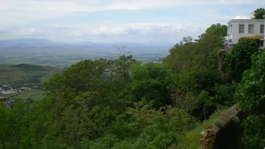
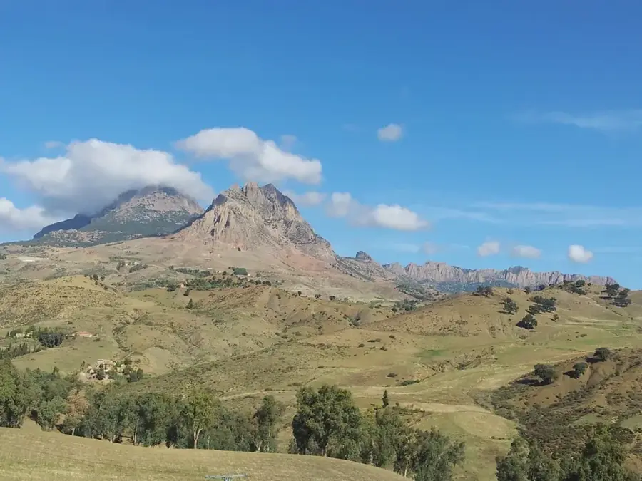
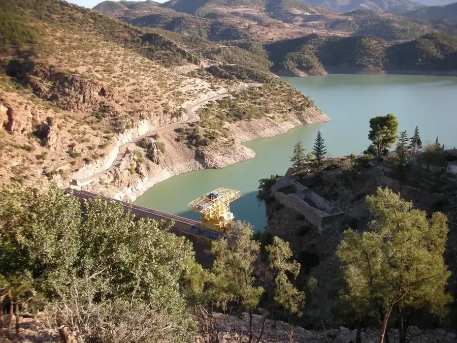
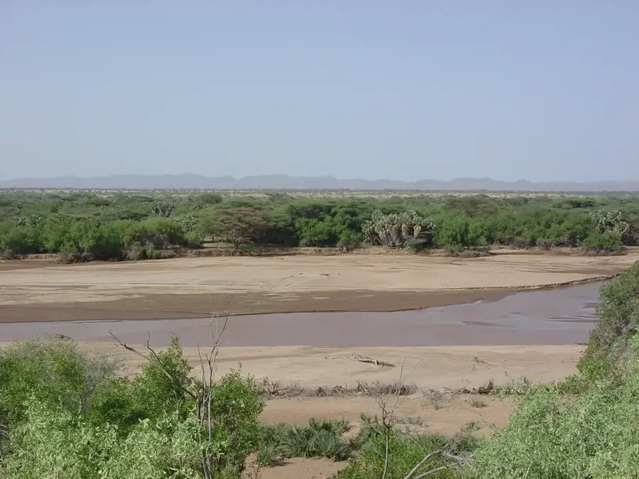
Djebel Gourine is a prominent elevation in the Saharan Atlas of Algeria, specifically within the Ouled Naïl Range. The mountain's relief is characterized by steep flanks and a rugged surface structure typical of the tectonic folding that formed North Africa's mountain chains. Geologically, the mountain massif consists predominantly of sedimentary rocks such as limestone and marl, which erosion has shaped into sharp ridges and deep valleys. The mountain reaches an altitude that makes it an important local landmark in the Djelfa Province. The topography acts as a barrier to air masses, resulting in slightly higher precipitation levels on windward sides compared to the surrounding steppe. Extensive scree fields are found in the lower areas of the relief, while higher elevations often feature bare rock faces. The region around Djebel Gourine has historically been a transit area for nomads and has natural shelters due to its physical configuration.
- Location: Algeria
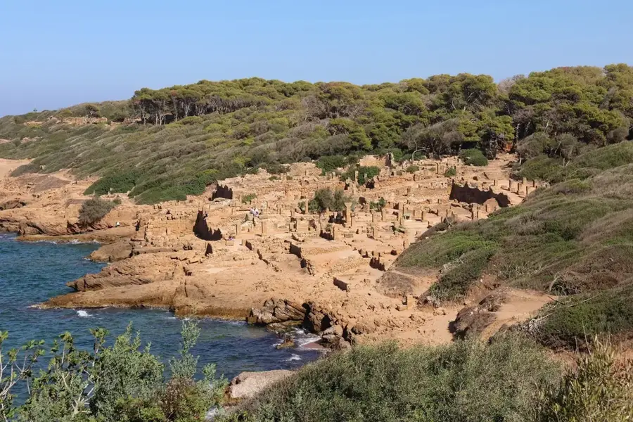
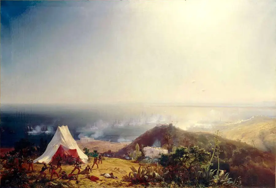
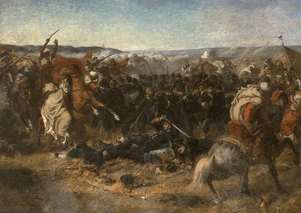
- Top sights: Battle of Staouéli · Tell Atlas
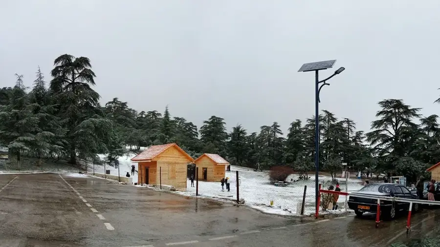
- Nearby: Theniet El Had Cedar Forest (15 km)
Best time to visit & climate
The most pleasant time to visit is May, Jun, Sep.
| Jan | Feb | Mar | Apr | May | Jun | Jul | Aug | Sep | Oct | Nov | Dec | |
|---|---|---|---|---|---|---|---|---|---|---|---|---|
| Avg °C | 7 | 8 | 11 | 14 | 18 | 23 | 27 | 27 | 22 | 18 | 12 | 8 |
| Rain mm | 79 | 69 | 67 | 64 | 43 | 14 | 3 | 11 | 29 | 43 | 76 | 69 |
📋 Practical info
Geography
Facts
- The mountain is located in the Djelfa Province of central Algeria.
- Geologically, Djebel Gourine belongs to the Alpine mountain system.
- The region is characterized by a semi-arid climate with hot summers.
- Limestone formations dominate the summit structure of the massif.
- The mountain range is part of the transition from the steppe to the Sahara.
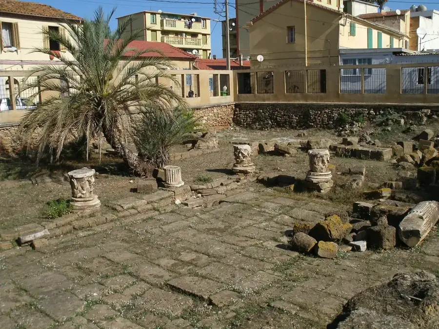
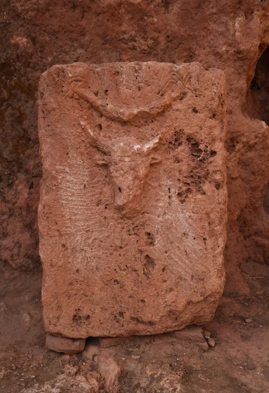
- Important archaeological sites of the Capsian culture are located nearby.
Explore nearby
Notable places around
Route planner — Car & Motorhome
Where do you start? We build the route here, with stops and country notes along the way.
© OpenStreetMap contributors · OpenRouteService
Sights in the town Djebel Gourine (2)
Sights nearby
Frequently asked questions
Where exactly is Djebel Gourine located?
How high is this mountain?
Is the area developed for tourism?
What vegetation can be found there?
Do you need a permit to visit?
Djebel Gourine: where is it located?
Djebel Gourine: what is there to see?
Djebel Gourine: when is the best time to visit?
Djebel Gourine: why is it worth visiting?

Nearby cities

Nature
More places