Plizio Visual Lab
Theniet El Had National Park
Weather…
Water temperature…
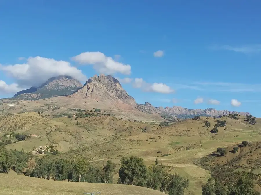
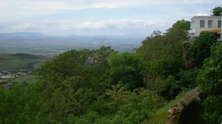
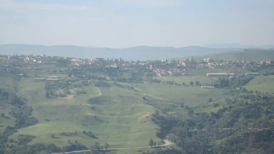
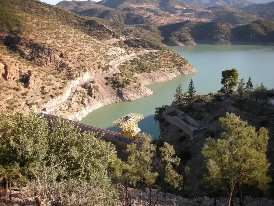
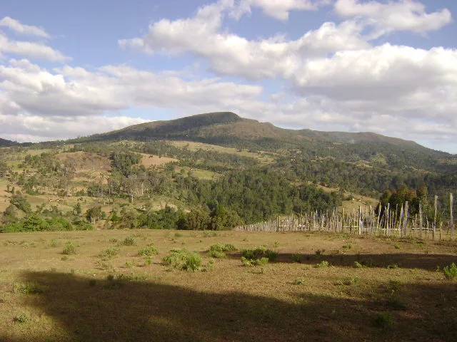
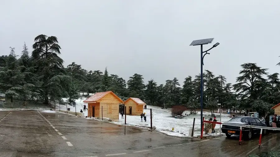
Théniet El Had National Park, located in the Tissemsilt Province at the southern edge of the Ouarsenis massif, is Algeria's oldest nature reserve and a significant sanctuary for preserving biological diversity. The park spans approximately 3,616 hectares and is primarily known for its majestic cedar forest, considered one of the most beautiful in North Africa. These forests of Atlas cedar (Cedrus atlantica) form a green oasis amidst the rather barren surrounding steppe landscape. Geographically, the park is situated at an altitude between 1,100 and 1,600 meters, giving it a temperate climate with cool summers and snowy winters. In addition to cedars, the flora includes cork oaks, wild cherries, and numerous medicinal plants, while the fauna is represented by wild boars, foxes, and a variety of birds of prey. Historically, the area was placed under French protection as early as 1923, highlighting its long tradition of nature conservation. For the local population, the park is a symbol of tranquility and closeness to nature, often referred to as the 'lungs of Central Algeria.' Hiking trails and viewpoints offer visitors expansive views over the plateaus all the way to the Sahara.
- Location: Algeria
- Nearby: Theniet El Had Cedar Forest (8 km)
Best time to visit & climate
The most pleasant time to visit is May, Jun, Sep.
| Jan | Feb | Mar | Apr | May | Jun | Jul | Aug | Sep | Oct | Nov | Dec | |
|---|---|---|---|---|---|---|---|---|---|---|---|---|
| Avg °C | 7 | 8 | 11 | 14 | 18 | 23 | 27 | 27 | 22 | 18 | 12 | 8 |
| Rain mm | 79 | 69 | 67 | 64 | 43 | 14 | 3 | 11 | 29 | 43 | 76 | 69 |
📋 Practical info
Geography
Facts
- Théniet El Had was designated as a protected area in 1923 and became a national park in 1983.
- The park is famous for 'Le Rond-point des Cèdres,' a central meeting point in the cedar forest.
- The Atlas cedar is the dominant tree in the park, reaching heights of up to 40 meters.
- The highest point in the park is Djebel Meddad, with an elevation of 1,787 meters.
- The park serves as a vital barrier against encroaching desertification from the south.
- The Tissemsilt region is known for its traditional craftsmanship and weaving arts.
Explore nearby
Notable places around
Route planner — Car & Motorhome
Where do you start? We build the route here, with stops and country notes along the way.
© OpenStreetMap contributors · OpenRouteService
Sights nearby
Frequently asked questions
Why is the park called 'Cedar Forest'?
Where is Theniet El Had located?
Are there recreational facilities there?
What is the symbol of the park?
Can you see wildlife there?
Theniet El Had National Park: where is it located?
Theniet El Had National Park: when is the best time to visit?
Theniet El Had National Park: why is it worth visiting?

Nearby cities