Plizio Visual Lab
Sierra de Cazorla
Weather…
Water temperature…
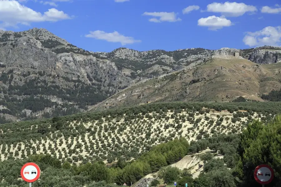
The Sierra de Cazorla is an extensive and densely forested mountain massif in the Andalusian province of Jaén, geologically belonging to the Prebaetic System. This rugged mountain region forms the geographical heart of Spain's largest continuous protected area, the Sierras de Cazorla, Segura y Las Villas Natural Park. From the deep karst springs of these limestone mountains originates the Guadalquivir, the most important and voluminous river in southern Spain, which begins its long journey to the Atlantic Ocean here. The highest elevation of the mountain range is the Empanadas peak, reaching 2106 meters above sea level. The remote, deeply incised gorges and high-altitude pine forests provide a convenient habitat for immense biological diversity. Over 2000 different plant species flourish here, and the region serves as a crucial refuge for the Spanish ibex, wild boars, and large birds of prey such as the griffon vulture.
- Location: Galicia, Spain
- Top sights: Centro de Interpretación de la Cultura de la Madera · Cascada de Linarejos · Mirador Estrecho de los Perales
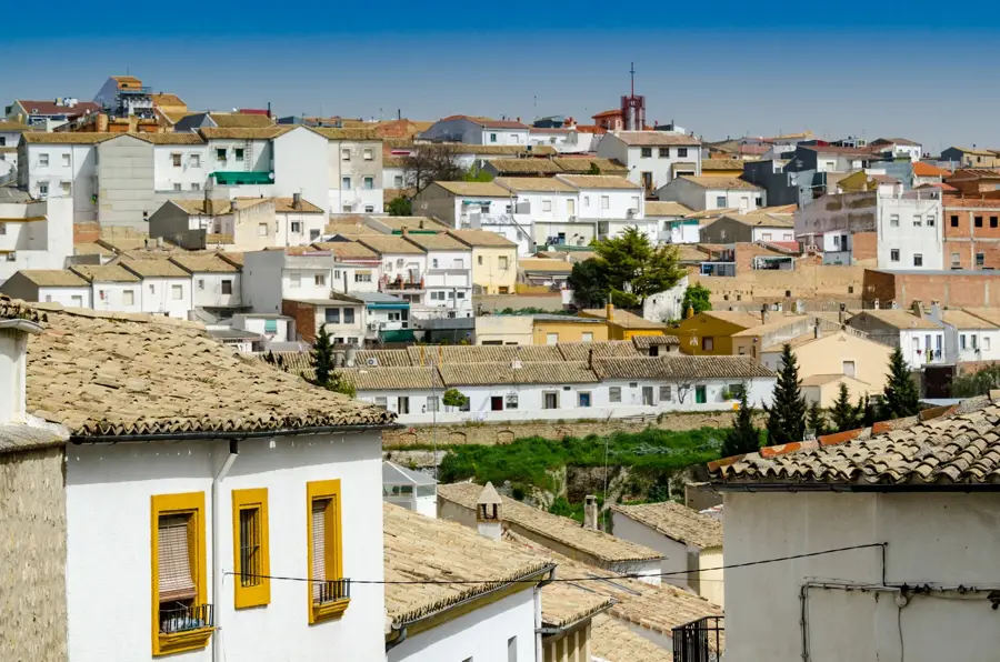
- Nearby: Cazorla (9 km)
Best time to visit & climate
The most pleasant time to visit is May, Jun, Sep.
| Jan | Feb | Mar | Apr | May | Jun | Jul | Aug | Sep | Oct | Nov | Dec | |
|---|---|---|---|---|---|---|---|---|---|---|---|---|
| Avg °C | 6 | 7 | 10 | 13 | 18 | 24 | 28 | 27 | 22 | 17 | 10 | 7 |
| Rain mm | 34 | 36 | 50 | 43 | 28 | 10 | 3 | 7 | 28 | 42 | 47 | 40 |
📋 Practical info
Geography
Explore nearby
Notable places around
Route planner — Car & Motorhome
Where do you start? We build the route here, with stops and country notes along the way.
© OpenStreetMap contributors · OpenRouteService
Sights in the town Sierra de Cazorla (6)
Sights nearby
Frequently asked questions
Where does the Guadalquivir rise?
Is it a large protected area?
What animals can be seen there?
Can you do water sports there?
Is the area suitable for mountain biking?
Sierra de Cazorla: where is it located?
Sierra de Cazorla: what is there to see?
Sierra de Cazorla: when is the best time to visit?
Sierra de Cazorla: why is it worth visiting?

Nearby cities