Plizio Visual Lab
Wadi al-Karak
Weather…
Water temperature…
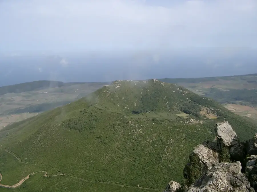
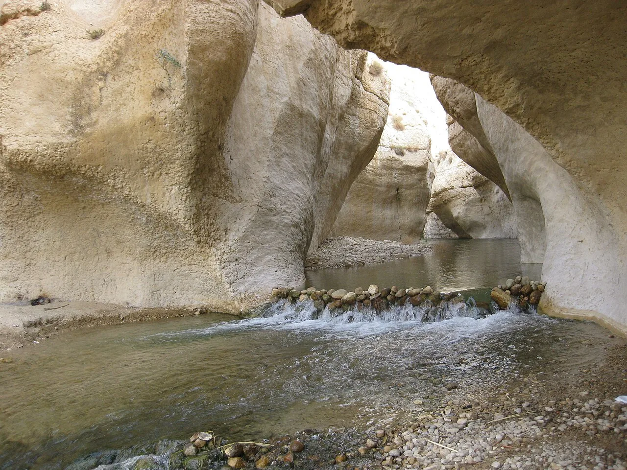
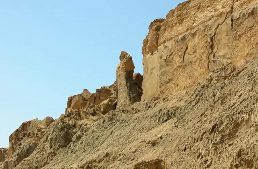
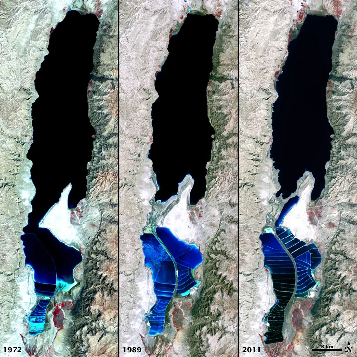
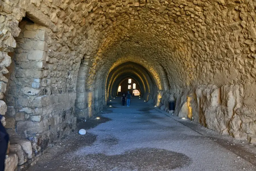
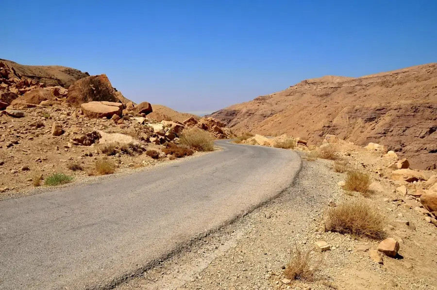
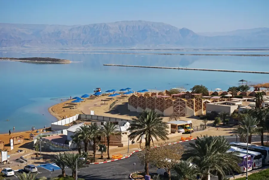
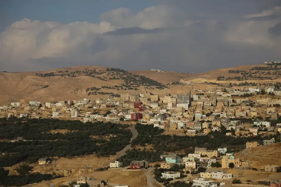
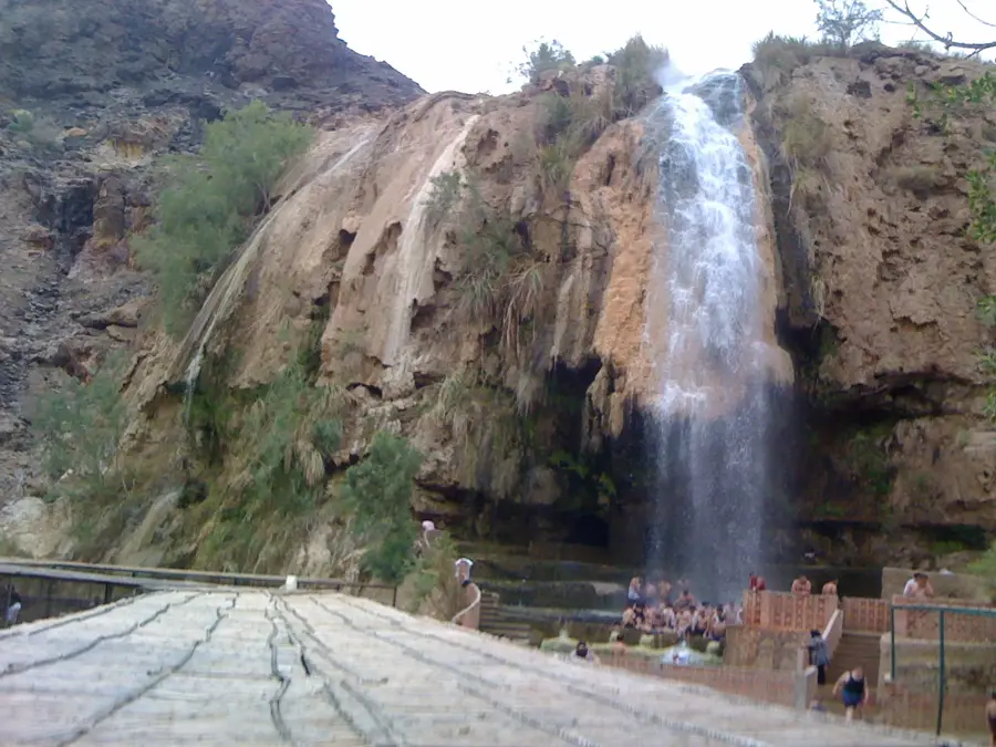
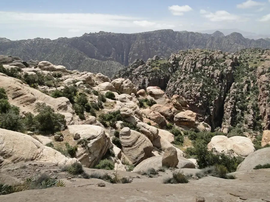
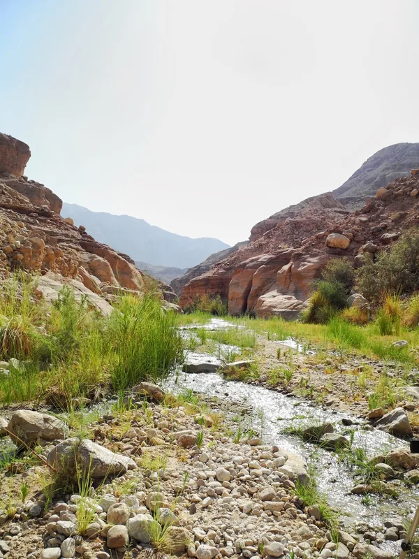
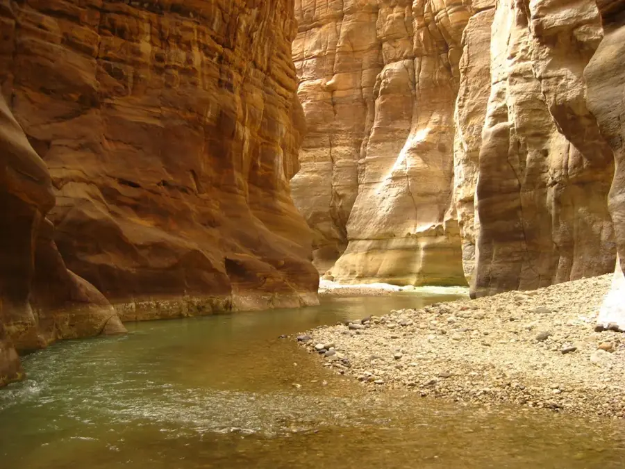
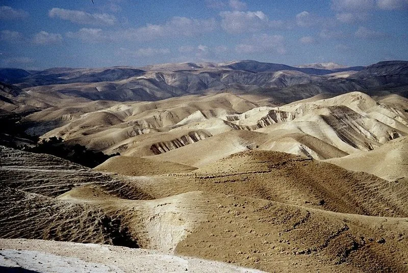
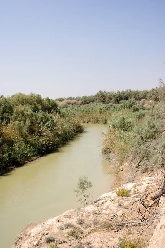
Wadi al-Karak is a significant river valley that descends steeply from the historic city of Karak in the Jordanian highlands toward the Dead Sea. This geological feature is part of a complex drainage system that carries rainwater from the mountains into the Ghor al-Mazra'a depression. The route through the wadi features impressive views of deeply incised canyons and terraced agricultural lands where vegetables and citrus fruits have been cultivated for centuries. In antiquity, the wadi served as a strategic access route to the Karak fortress, which played a key role in the region's defense during the Crusades. The hydrological importance of the valley is highlighted by several springs that maintain a level of water flow even during the dry summer months. Geologically, the wadi is characterized by various layers of limestone and sandstone, uplifted by tectonic activity along the Dead Sea Transform fault. Today, the area is vital for both local agriculture and outdoor enthusiasts.
- Location: Jordan
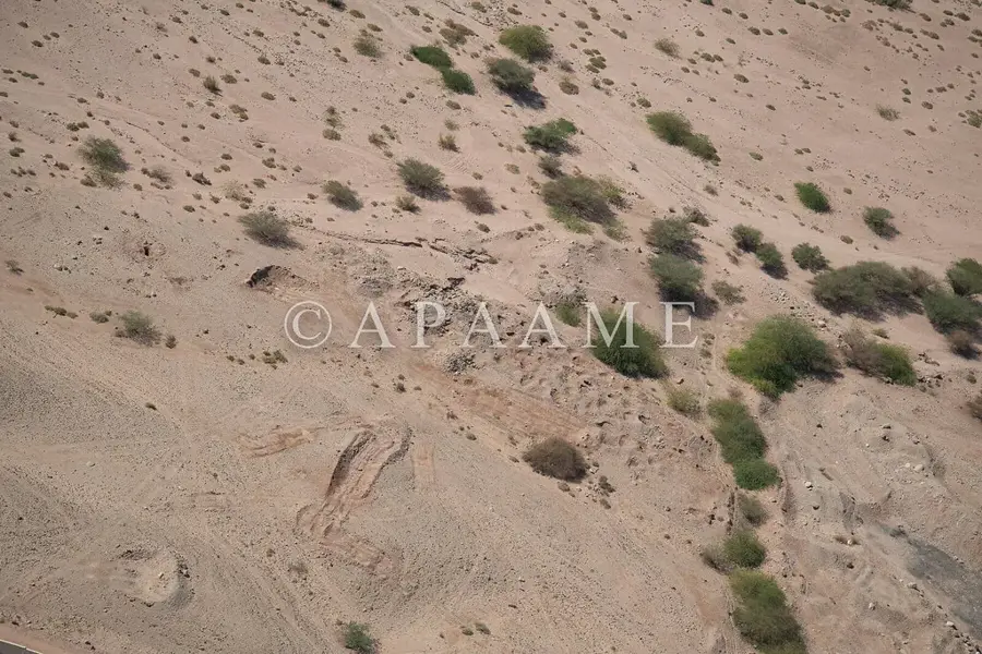
- Top sights: Rujm al Shumus · Khirbat al Qashab · Buthaynah
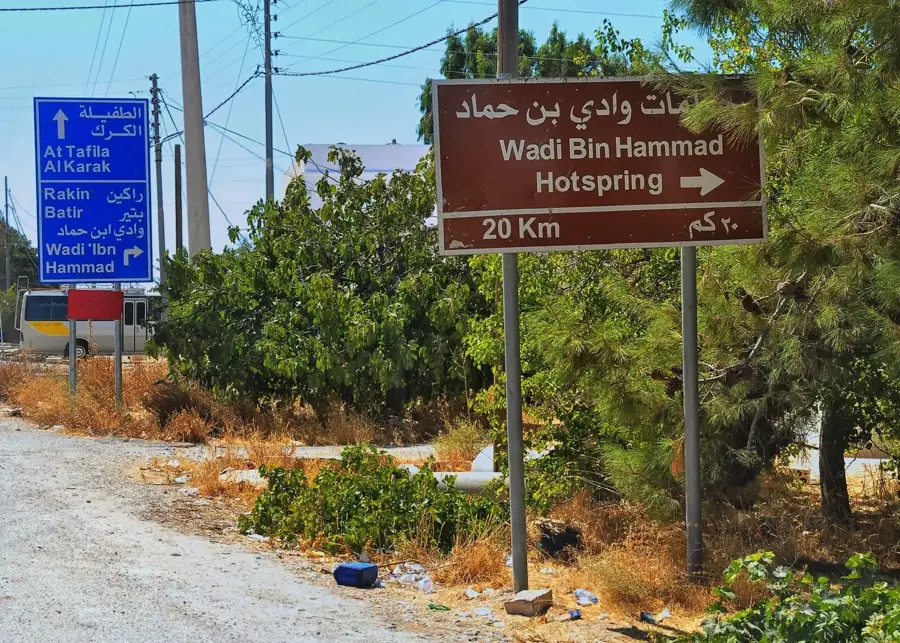
- Nearby: Wadi Bin Hammad (12 km)
Best time to visit & climate
The most pleasant time to visit is Apr, May, Oct.
| Jan | Feb | Mar | Apr | May | Jun | Jul | Aug | Sep | Oct | Nov | Dec | |
|---|---|---|---|---|---|---|---|---|---|---|---|---|
| Avg °C | 10 | 11 | 15 | 18 | 23 | 26 | 28 | 28 | 26 | 22 | 17 | 12 |
| Rain mm | 66 | 50 | 24 | 13 | 5 | 0 | 0 | 0 | 1 | 8 | 19 | 34 |
📋 Practical info
Geography
Facts
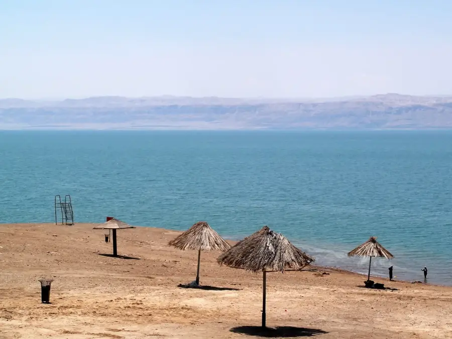
- Covers an elevation drop of approximately 1,300 meters down to the Dead Sea
- Terminates in the fertile plain of Ghor al-Mazra'a
- Contains remains of hydraulic systems dating back to the Nabataean period
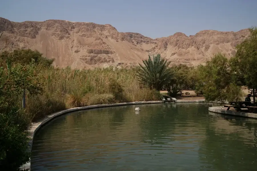
- The canyon is known for its thermal springs in certain sections
- Primary drainage channel for the Karak Plateau
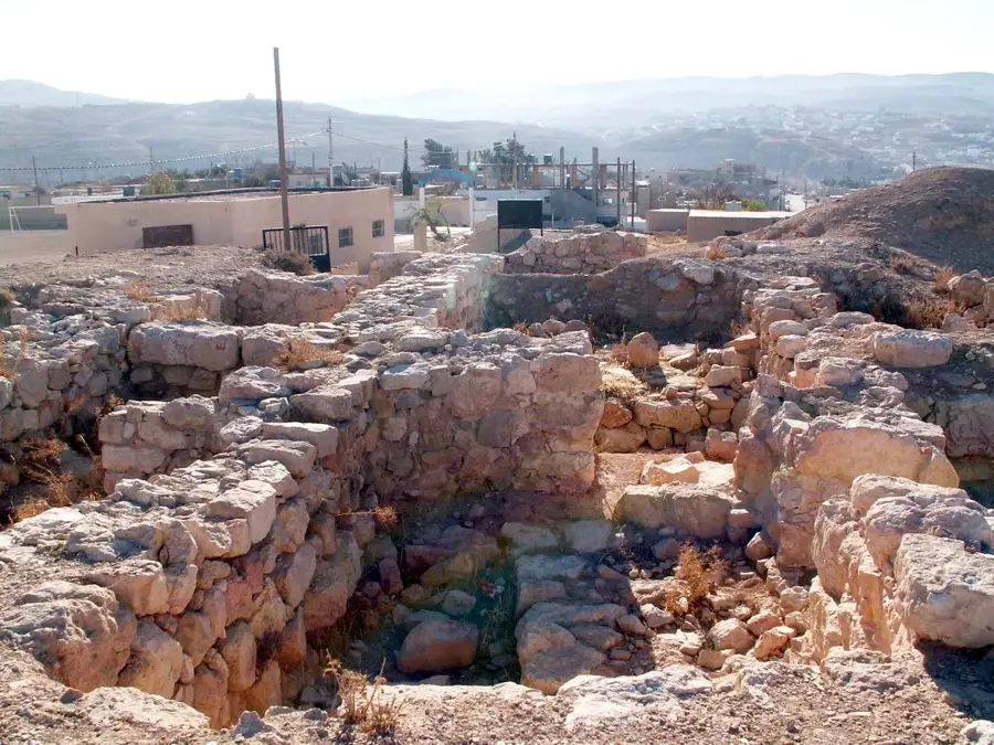
- Home to archaeological sites from the Iron and Bronze Ages
Explore nearby
Notable places around
Route planner — Car & Motorhome
Where do you start? We build the route here, with stops and country notes along the way.
© OpenStreetMap contributors · OpenRouteService
Sights in the town Wadi al-Karak (3)
Sights nearby
Frequently asked questions
What makes Wadi al-Karak special?
Can you hike in the wadi?
What is the terrain like?
Is Karak Castle nearby?
Are there places to eat?
Wadi al-Karak: where is it located?
Wadi al-Karak: what is there to see?
Wadi al-Karak: when is the best time to visit?
Wadi al-Karak: why is it worth visiting?

Nearby cities


History & landmarks

Nature
More places