Plizio Visual Lab
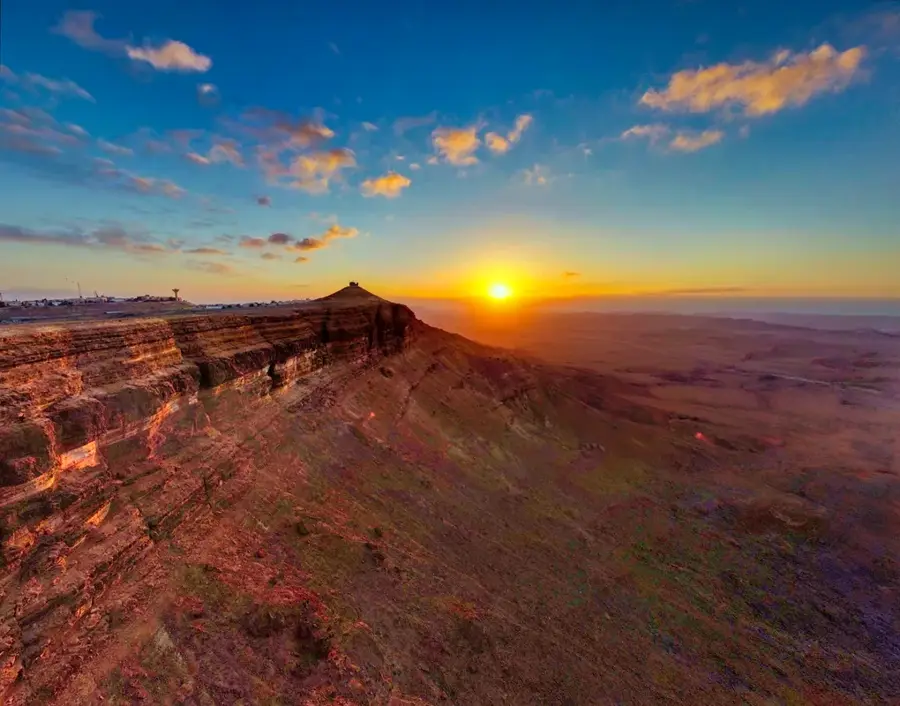
Mount Sodom
Weather…
Water temperature…
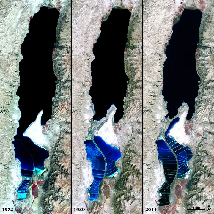
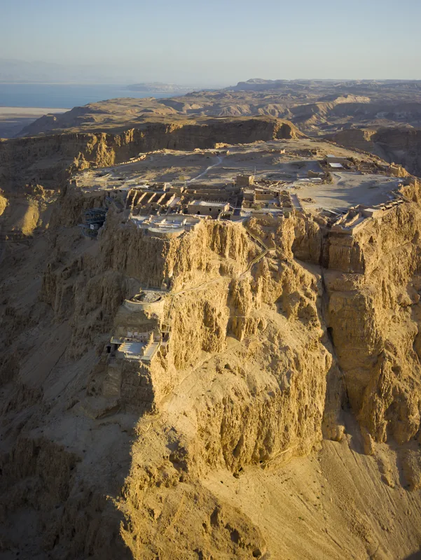
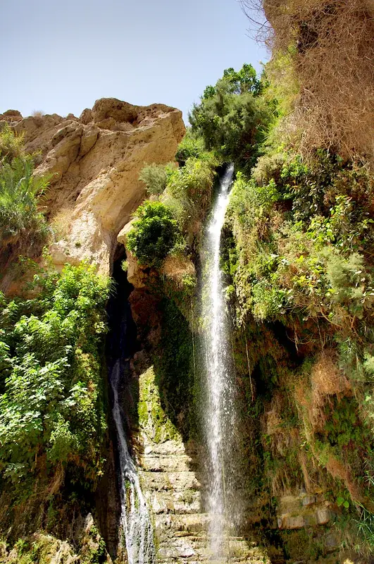
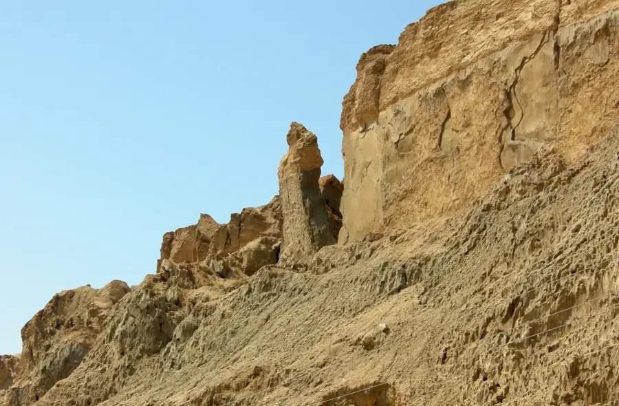
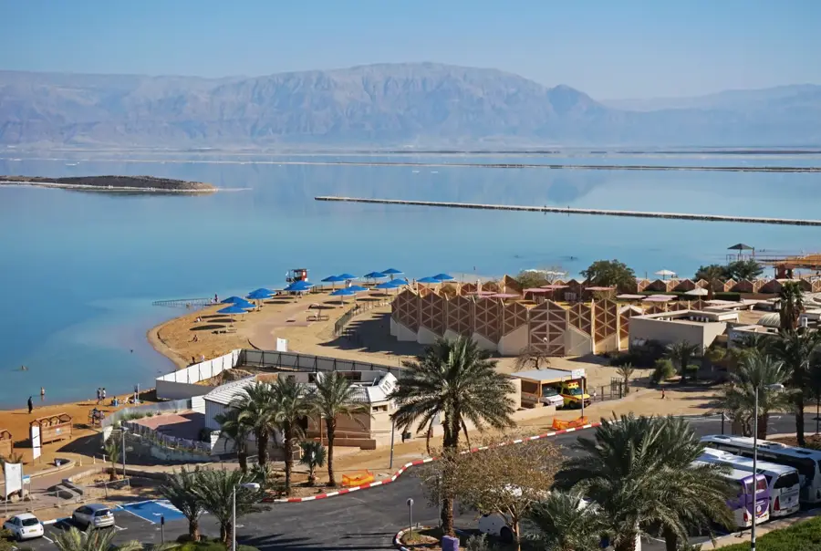
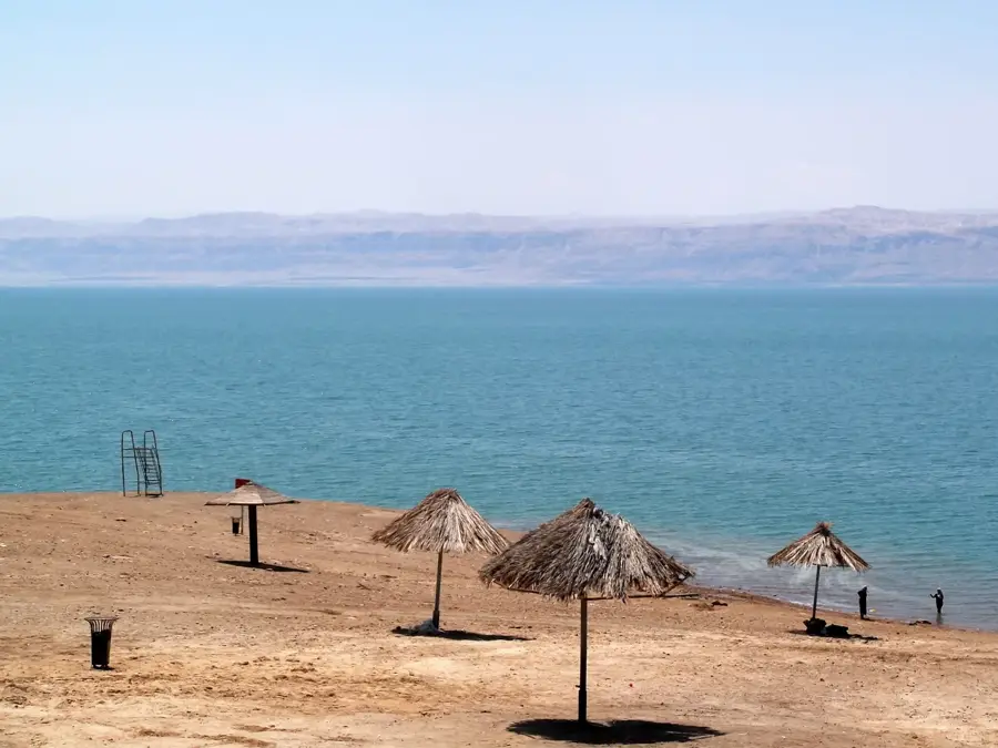
Mount Sodom is a geologically unique hill range at the southwestern corner of the Dead Sea, composed almost entirely of rock salt (halite). Stretching approximately eight kilometers in length, it rises about 220 meters above the Dead Sea's surface, though its summit remains well below global sea level. The mountain is a salt diapir, formed when ancient salt layers were pushed upward by the immense pressure of overlying sedimentary rocks. Erosion from rare desert rainstorms has carved out the world's most extensive network of salt caves within the mountain, including the Malham Cave, which exceeds 10 kilometers in total length. A thin cap of gypsum and marl protects the underlying salt from rapid dissolution. The site is famously linked to the biblical narrative of Sodom and Gomorrah, with a distinct salt pillar on its slopes traditionally identified as 'Lot's Wife.' The stark, crystalline landscape provides surreal vistas of the Dead Sea evaporation ponds and the Moab Mountains in neighboring Jordan.
- Location: Israel
- Top sights: Ein Hamarmar · Malham · Mount Sedom Lookout
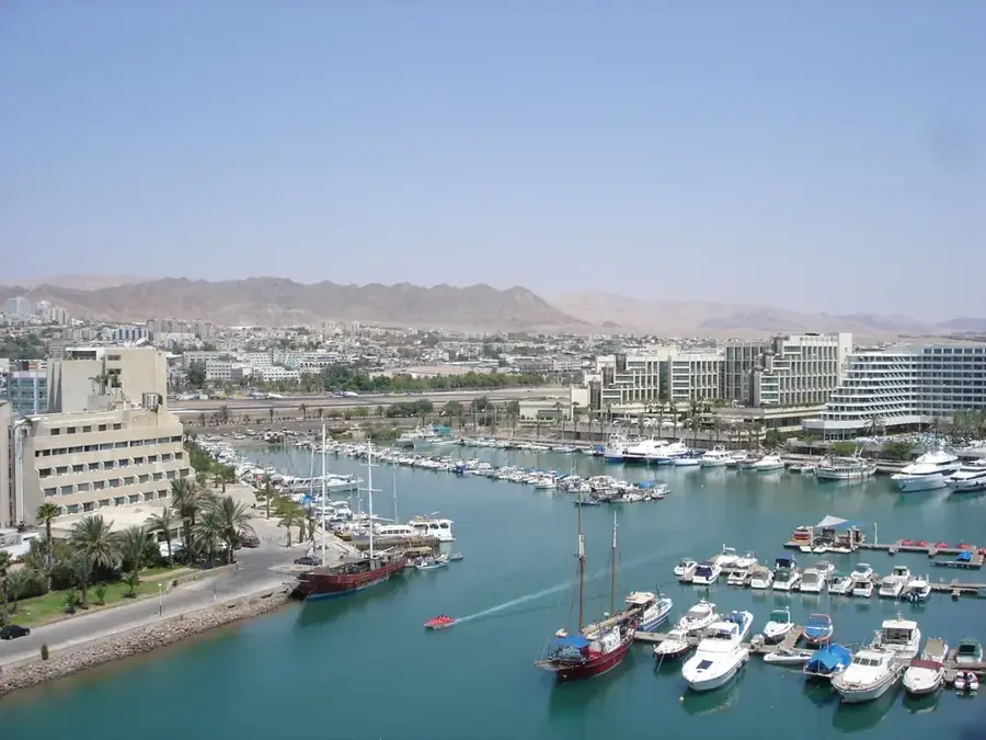
- Nearby: Dead Sea (Ein Bokek) (12 km)
Best time to visit & climate
The most pleasant time to visit is Apr, May, Oct.
| Jan | Feb | Mar | Apr | May | Jun | Jul | Aug | Sep | Oct | Nov | Dec | |
|---|---|---|---|---|---|---|---|---|---|---|---|---|
| Avg °C | 10 | 11 | 15 | 18 | 23 | 26 | 28 | 28 | 26 | 22 | 17 | 12 |
| Rain mm | 66 | 50 | 24 | 13 | 5 | 0 | 0 | 0 | 1 | 8 | 19 | 34 |
📋 Practical info
Geography
Facts
- Mount Sodom is roughly 98% pure halite (sodium chloride).
- The Malham salt cave system was mapped at over 10 km in length.
- The mountain is rising at a rate of approximately 3.5 mm per year.
- It is located within the Dead Sea rift, the lowest point on the Earth's surface.
- The caprock of gypsum protects the salt from melting during winter rains.
- Archaeologists often investigate the area for remnants of Bronze Age settlements.
Explore nearby
Notable places around
Route planner — Car & Motorhome
Where do you start? We build the route here, with stops and country notes along the way.
© OpenStreetMap contributors · OpenRouteService
Sights in the town Mount Sodom (9)
Sights nearby
Frequently asked questions
What is Mount Sodom made of?
Are there caves there?
Who was 'Lot's Wife'?
Can you visit the caves alone?
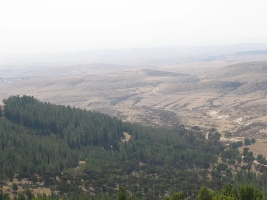
Does the mountain offer good views?
Mount Sodom: where is it located?
Mount Sodom: what is there to see?
Mount Sodom: when is the best time to visit?
Mount Sodom: why is it worth visiting?

Nearby cities
History & landmarks
Nature
More places