Plizio Visual Lab
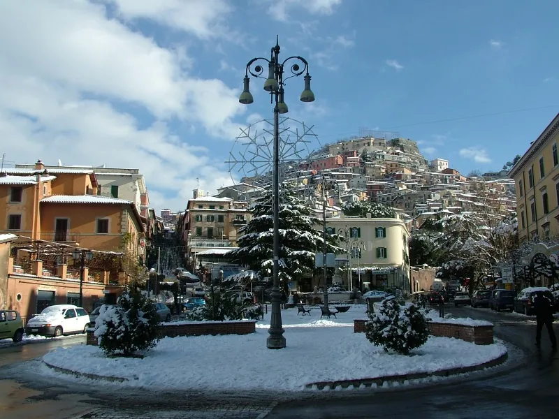
Rocca d'Arce
ℹ️Practical info — Rocca d'Arce
▾
🌤 Weather — 5 days
📍 Nearby
Sights nearby
💡 Tips
- The road leading up to the village is steep and features tight hairpin turns. Drive carefully, especially if you have a larger rental vehicle.
- Wear sturdy, non-slip footwear. The historic alleys are paved with ancient stones that can be slippery, especially after rain.
- There are no large supermarkets in the village. Stock up on essential groceries and cash in the nearby town of Arce before heading up.
- The absolute best time to walk up to the old castle ruins is just before sunset for sweeping golden-hour views over the Liri Valley.
🍽 Food
A sharp, local sheep's milk cheese from the Ciociaria region. Ask for it at small alimentari in the village or neighboring towns.
A traditional peasant dish of short pasta and beans. You will likely find the most authentic versions in rural agriturismi around the base of the hill.
The region produces robust olive oil. Try finding farm stalls on the drive up to purchase unbranded, incredibly fresh local oil.
🛍 Shopping · 🧘 Quiet spots
Keep an eye out for small signs outside local homes or farms selling homemade honey (miele) directly to visitors.
Since Rocca d'Arce has limited shopping, head to the nearby town of Arce for their weekly outdoor market to find clothes, crafts, and food.
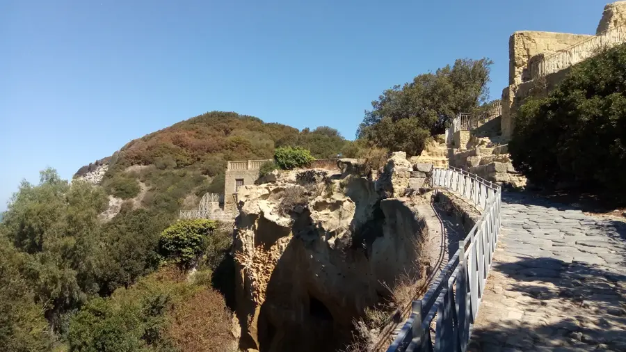
The remains of the medieval castle at the very top of the hill. It requires a steep walk but rewards you with absolute silence and endless views.
The small piazza and alleys around the main church offer a tranquil atmosphere, first-rate for reading a book or enjoying the breeze.
Water temperature…
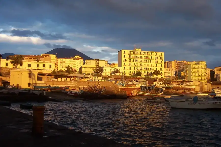
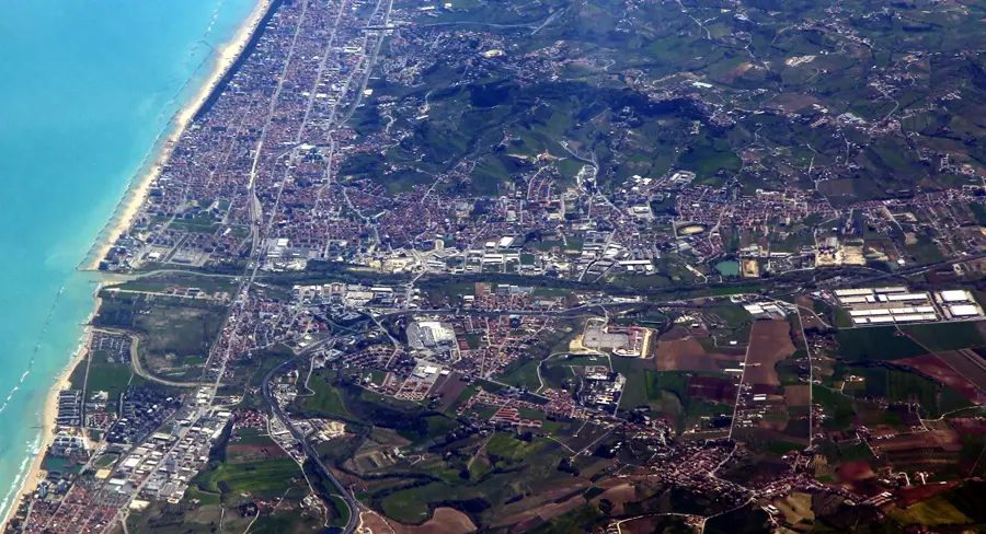
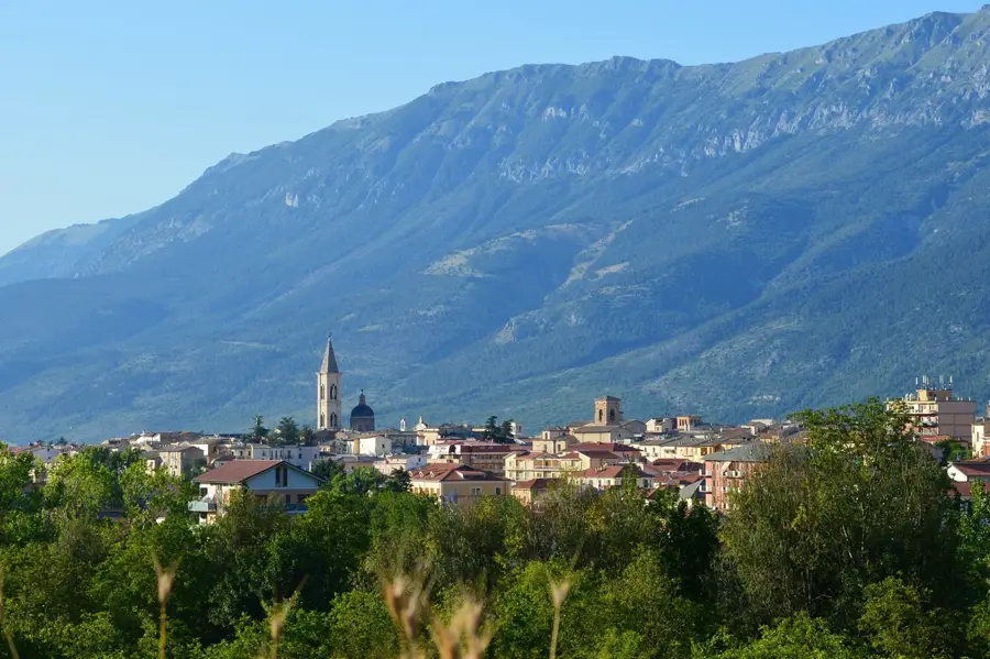
Rocca d'Arce is a spectacularly situated municipality in the province of Frosinone, perched on a steep limestone cliff at an elevation of 507 meters. The town has ancient origins and is often identified with the Volscian fortress of Arcanum, which provided strategic control over the middle Liri Valley. Due to its nearly impregnable position, Rocca d'Arce served for centuries as a significant military outpost for Lombards, Normans, and Hohenstaufens. The ruins of the medieval castle still dominate the highest point of the village today, offering a sweeping panoramic view extending to the Apennines. The historic center is characterized by steep, paved alleys and solid stone houses built closely against the rock. The Church of Sant'Agata, dedicated to the town's patron saint, is an important religious monument for the community. Historically, Rocca d'Arce was a point of contention between the powers of central Italy and the Kingdom of Sicily or Naples. Despite its turbulent military past, the town is now a peaceful community that preserves its historical roots. The surrounding area invites hiking, where one can discover ancient cyclopean walls and the untouched nature of Ciociaria.
- Location: Italy
- Top sights: Torre di Campolato · Castello Succorte · Quercia di San Bernardo
- Nearby: Fontana Liri (4 km)
- Population: ~157
Best time to visit & climate
The most pleasant time to visit is Jun, Aug, Sep.
| Jan | Feb | Mar | Apr | May | Jun | Jul | Aug | Sep | Oct | Nov | Dec | |
|---|---|---|---|---|---|---|---|---|---|---|---|---|
| Avg °C | 5 | 6 | 8 | 12 | 16 | 22 | 25 | 25 | 20 | 15 | 11 | 6 |
| Rain mm | 92 | 74 | 74 | 58 | 53 | 37 | 29 | 25 | 68 | 82 | 124 | 92 |
Live webcam – Rocca d'Arce
See what it looks like near Rocca d'Arce right now.
Ceprano: A01 km. 644,9 - itinere nord · 7 km · Open webcam on Windy · Webcams provided by Windy.com
Geography
Facts
- Elevation is 507 meters on a limestone cliff
- Identified with the ancient Volscian fortress of Arcanum
- The Normans conquered the town in the year 1058
- Castle ruins offer a wide view over the Liri Valley
- The patron saint of the community is Saint Agatha
- Contains remnants of ancient cyclopean walls
Explore nearby
Notable places around
Route planner — Car & Motorhome
Where do you start? We build the route here, with stops and country notes along the way.
© OpenStreetMap contributors · OpenRouteService
In the morning, immerse yourself in the medieval silence of Rocca d'Arce's alleys. At noon, admire the monumental polygonal walls from the pre-Roman era. The afternoon is dedicated to the impressive castle ruins on the summit and the vast panorama over the Liri Valley. End your day with a beautiful sunset at the Belvedere.
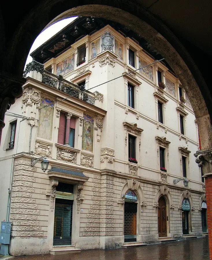
Porta di Sant'Agostino
This bike tour is a real challenge for mountain bikers. From the old town, climb the steep slopes up to the ancient walls and the castle. The descent offers spectacular views but requires good brakes.
By car, you can comfortably reach the different levels of Rocca d'Arce. Start in the historical center and then drive up to the castle district. This route minimizes steep climbs while still covering all cultural highlights.
Sights in the town Rocca d'Arce (3)
Frequently asked questions
Where does Rocca d'Arce get its name from?
What is the altitude of Rocca d'Arce?
What are the most important ancient remains?
Can the fortress ruins be visited?
Which saint is particularly venerated here?
Rocca d'Arce: where is it located?
Rocca d'Arce: what is there to see?
Rocca d'Arce: when is the best time to visit?
Rocca d'Arce: why is it worth visiting?

Nearby cities