Plizio Visual Lab

Monte Rosa Massif

Plizio editorial teamData Sources
Mountain
—°3
Monte Rosa Massif (Italy)

Weather…

The Monte Rosa Massif is a vast mountain range in the Pennine Alps, situated on the border between Italy (Piedmont and Aosta Valley regions) and Switzerland. It contains the Dufourspitze (4,634 m), the second highest peak in the Alps and the highest in Switzerland, and constitutes the highest mountain massif in Italy. Geologically, Monte Rosa consists primarily of granite and gneiss, formed by the collision of the African and European tectonic plates during the Tertiary period. The massif is characterized by extensive glaciation, with the Gorner Glacier and Grenzgletscher being among the largest glaciers in the Alps. Historically, the region has been a focal point for alpinism since the 19th century, with the first ascent of the Dufourspitze recorded in 1855. The high valleys surrounding the massif are home to the Walser people, a unique ethnic group of Germanic origin who settled the area in the Middle Ages. Today, it remains a premier destination for mountaineering and skiing, and hosts the Capanna Regina Margherita at 4,554 meters, the highest building in Europe, which serves as a center for high-altitude scientific research.

Best time to visit & climate

The most pleasant time to visit is Jun–Aug.

JanFebMarAprMayJunJulAugSepOctNovDec
Avg °C-7-7-32711131395-1-6
Rain mm5556721011431251131259010113171

📋 Practical info

🧭
Getting there
The Monte Rosa Massif is best accessed from the Italian side via Alagna Valsesia, Gressoney-La-Trinité, or Macugnaga. Cable cars facilitate the ascent into the high alpine zones and often serve as the starting point for summit expeditions.
📅
Best season
For skiers, the season is handy from December to April, while mountaineers and hikers utilize the months of July to September for glacier tours. Due to the extreme altitude, winter conditions often prevail even in summer, with temperatures below freezing.
⛰️
Terrain & paths
This is extreme high-altitude terrain featuring expansive glaciers, deep crevasses, and rugged rock ridges over 4000 meters high. Hiking without glacier equipment is only safe at lower elevations on well-marked designated paths.
🎒
What to bring
For glacier tours, crampons, ice axes, ropes, and harnesses, along with extremely warm, windproof clothing, are absolutely essential. Even for simple mountain hikes near the cable car stations, sturdy boots, high-SPF sunscreen, and sunglasses are mandatory.
🅿️
Parking
Large parking lots and garages are available at the base stations in Alagna, Gressoney, and Macugnaga, often for a fee. As these locations are popular starting points, arriving early is highly recommended, especially on sunny summer weekends.
⚠️
Safety
Altitude sickness can become an issue above 3000 meters; watch for symptoms and descend immediately if you feel unwell. Never underestimate the dangers of crevasses and sudden weather shifts in the high mountains; hiring a mountain guide is recommended.
⏱️
Time needed
A simple sightseeing visit using the cable car takes 2 to 3 hours, while glacier tours are typically planned as multi-day undertakings with overnight hut stays. Climbing the Dufourspitze peak usually requires two days and excellent physical fitness.

Geography

Coordinates
45.93330, 7.86670

Facts

  • The Dufourspitze is the massif's highest peak at 4,634 meters.
  • The range features ten distinct summits that exceed 4,000 meters in height.
  • The first recorded ascent of the Dufourspitze occurred on August 1, 1855.
  • The Capanna Regina Margherita at 4,554 m is the highest refuge in Europe.
  • The name 'Rosa' is derived from the local Patois word 'rouése', meaning glacier.
  • The east face above Macugnaga is the highest wall in the Alps, at 2,600 m.

Explore nearby

Notable places around

Route planner — Car & Motorhome

Where do you start? We build the route here, with stops and country notes along the way.

Vehicle
Only stops with (optional):

© OpenStreetMap contributors · OpenRouteService

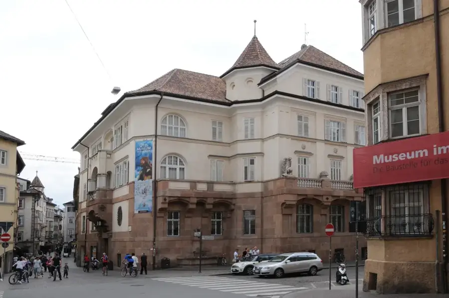
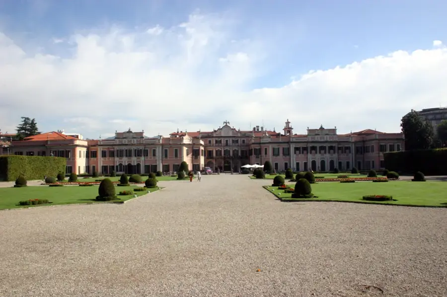
Sights in the town Monte Rosa Massif (3)
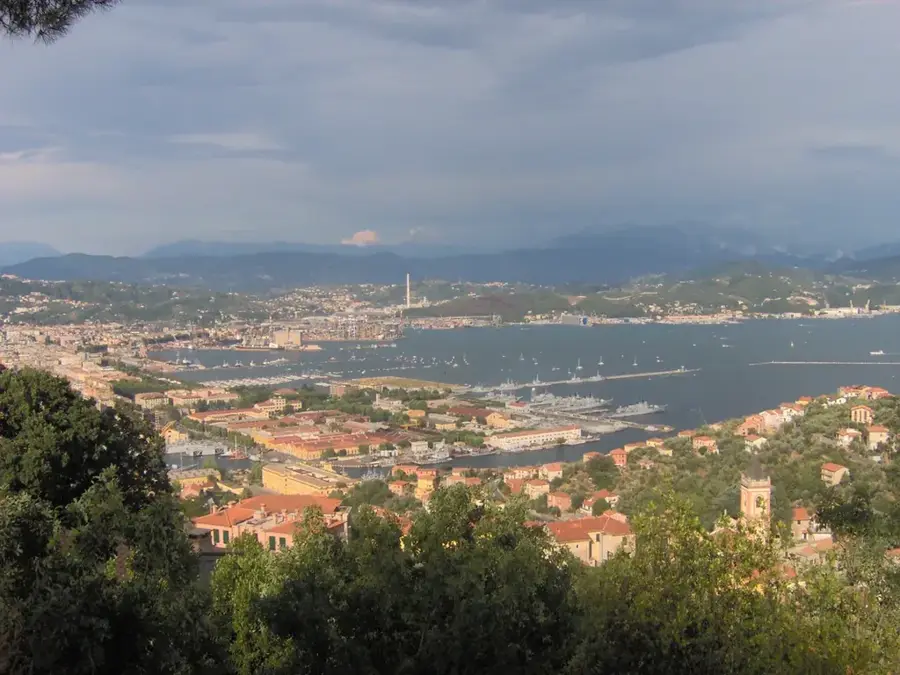
Punta Gnifetti / Signalkuppe📍 landmark

A well-known alpine peak in the Monte Rosa massif, home to the Margherita Hut.

Corno Nero📍 landmark

A prominent four-thousand-meter peak in the southern part of the Monte Rosa massif.

Zumsteinspitze📍 landmark

A prominent mountain peak in the Monte Rosa Massif on the border between Switzerland and Italy.

Sights nearby

Frequently asked questions

What is the highest peak in the Monte Rosa massif?
The Dufourspitze at 4,634 meters; it is the highest mountain in Switzerland.
Why is the massif called 'Rosa'?
The name comes from the Franco-Provençal word 'rouése', meaning glacier, not from the color.
Where can you ski in the Monte Rosa area?
The Monterosa Ski area connects three valleys: Val d'Ayas, Gressoney, and Alagna Valsesia.
What is Capanna Margherita?
The highest mountain hut in Europe, located at 4,554 meters altitude (Signalkuppe).
Is the area suitable for beginner hikers?
There are easy paths in the valleys, but high-altitude tours require experience and often a guide.
Monte Rosa Massif: where is it located?
Monte Rosa Massif is located in Italy.
Monte Rosa Massif: what is there to see?
Highlights include Punta Gnifetti / Signalkuppe, Corno Nero, Zumsteinspitze.
Monte Rosa Massif: when is the best time to visit?
The most pleasant time to visit is Jun, Aug.
Monte Rosa Massif: why is it worth visiting?
The Monte Rosa Massif is a vast mountain range in the Pennine Alps, situated on the border between Italy (Piedmont and Aosta Valley regions) and Switzerland.
View on map → The Top 50 Attractions → Most beautiful beaches → OpenStreetMap →
Europe
Explore with Plizio Discover more places in Europe
More places in Italy →

Nearby cities

More places