Fabio De Luigi Live on Stage
Enjoy a night of laughter with popular comedian Fabio De Luigi as he brings his new theatrical tour to the Teatro Comunale.
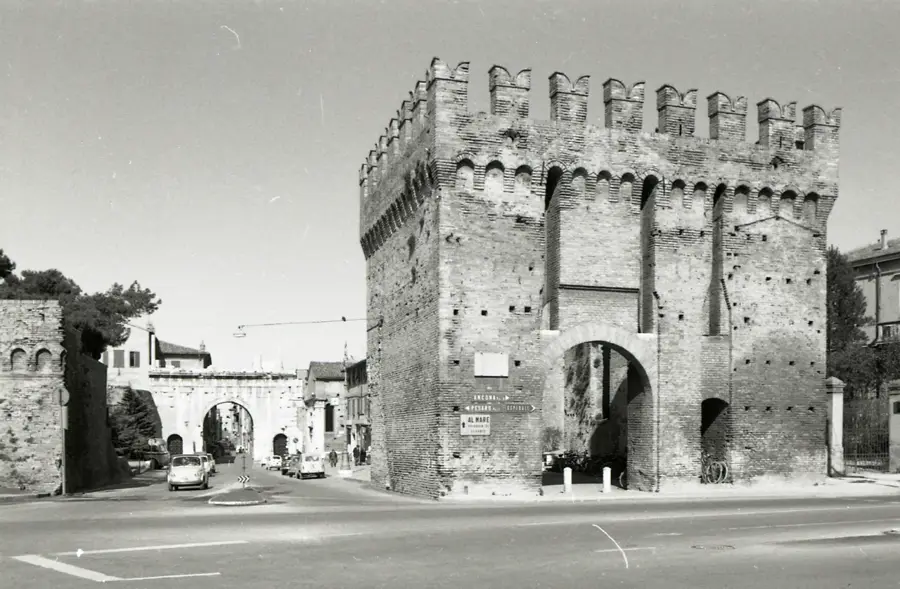
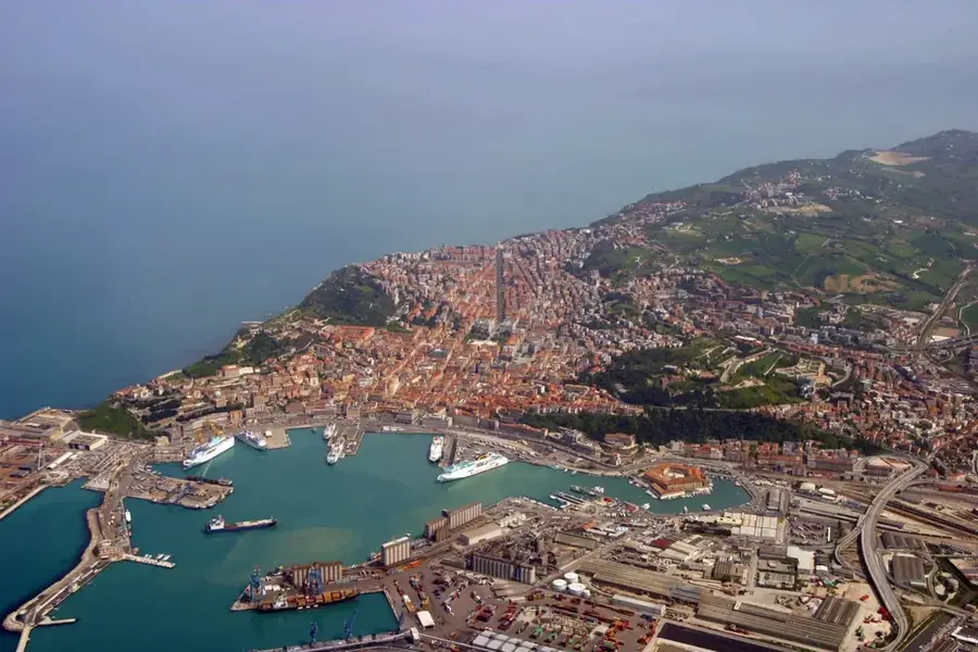
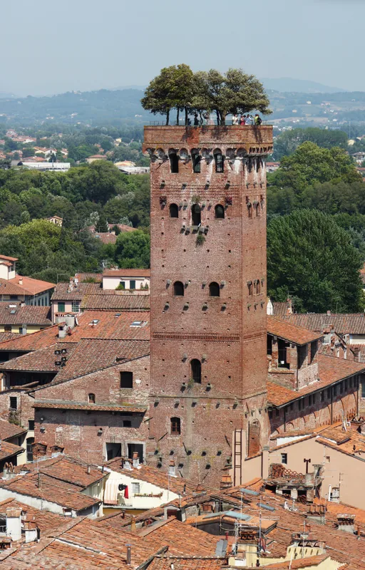
Plizio Visual Lab
Weather…
Water temperature…
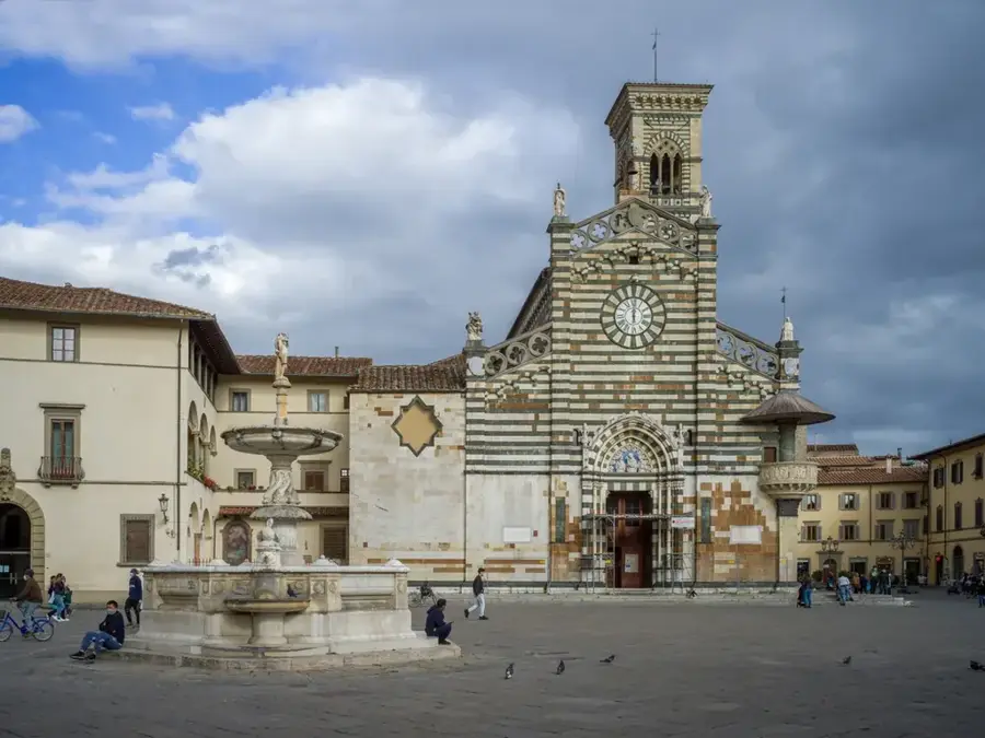
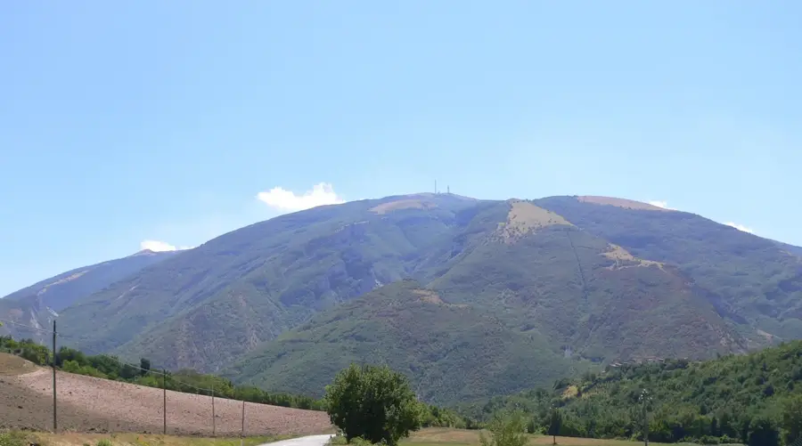
Monte Nerone is a mountain in the Apennines in the Marche region, central Italy, in the province of Pesaro and Urbino. It reaches 1,525 m and is a characteristic peak of the northern Apennines. The mountain is mainly composed of limestone and is rich in fossils, particularly from the Jurassic period. Monte Nerone is known for its paleontological sites, where fossilized marine organisms such as ammonites and belemnites have been found. The slopes are forested with beech, oak, and chestnut. At higher elevations, meadows and karst formations dominate. The area around Monte Nerone is sparsely populated, with medieval villages such as Piobbico and Apecchio. The mountain is a popular destination for hikers and fossil collectors. The summit gives panoramic views of the surrounding valleys and the Marche mountains. The area is also known for its truffle production, especially the white truffle. Monte Nerone is part of the Monte Nerone and Bosco della Mensa regional natural park.
The most pleasant time to visit is Jun–Aug.
| Jan | Feb | Mar | Apr | May | Jun | Jul | Aug | Sep | Oct | Nov | Dec | |
|---|---|---|---|---|---|---|---|---|---|---|---|---|
| Avg °C | 4 | 4 | 7 | 11 | 15 | 21 | 24 | 24 | 18 | 14 | 9 | 5 |
| Rain mm | 60 | 71 | 72 | 67 | 72 | 48 | 39 | 45 | 82 | 82 | 101 | 78 |
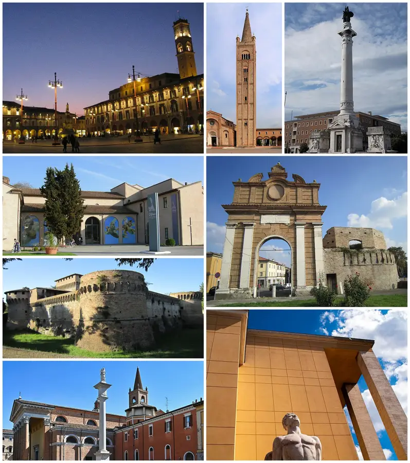
Notable places around
Where do you start? We build the route here, with stops and country notes along the way.
© OpenStreetMap contributors · OpenRouteService