Plizio Visual Lab
Moulhoule
ℹ️Practical info — Moulhoule
▾
🌤 Weather — 5 days
📍 Nearby
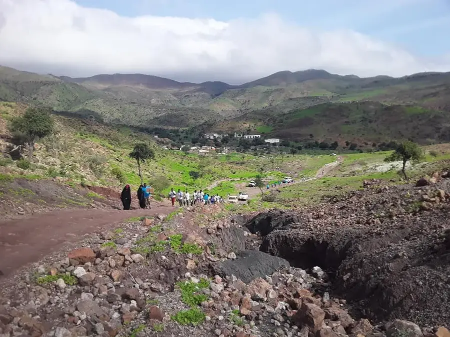
Sights nearby
💡 Tips
- The coastal road is rough; travel with a convoy of 4x4s if possible.
- Observe the traditional salt extraction methods, but do not interfere with the workers.
- Bring sun protection and a windbreaker, as the coastal winds can be fierce.
- There are no formal tourist facilities; you must be completely self-sufficient.
🍽 Food
Best acquired directly from local fishermen on the shore.
A local preservation method, sometimes available to try.
Shared with locals after a day of work.
🛍 Shopping · 🧘 Quiet spots
You might be able to purchase a bag of unprocessed salt directly from the extractors.
Collected along the rugged coastline.
Excellent for watching the waves crash against the desolate coast.
A stark, silent landscape just outside the village.
Water temperature…
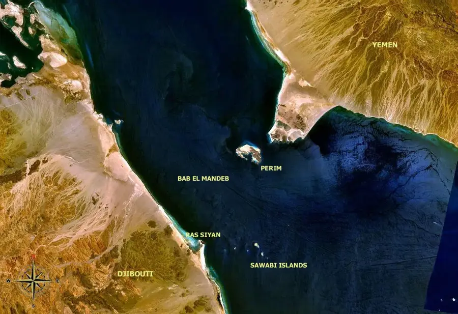
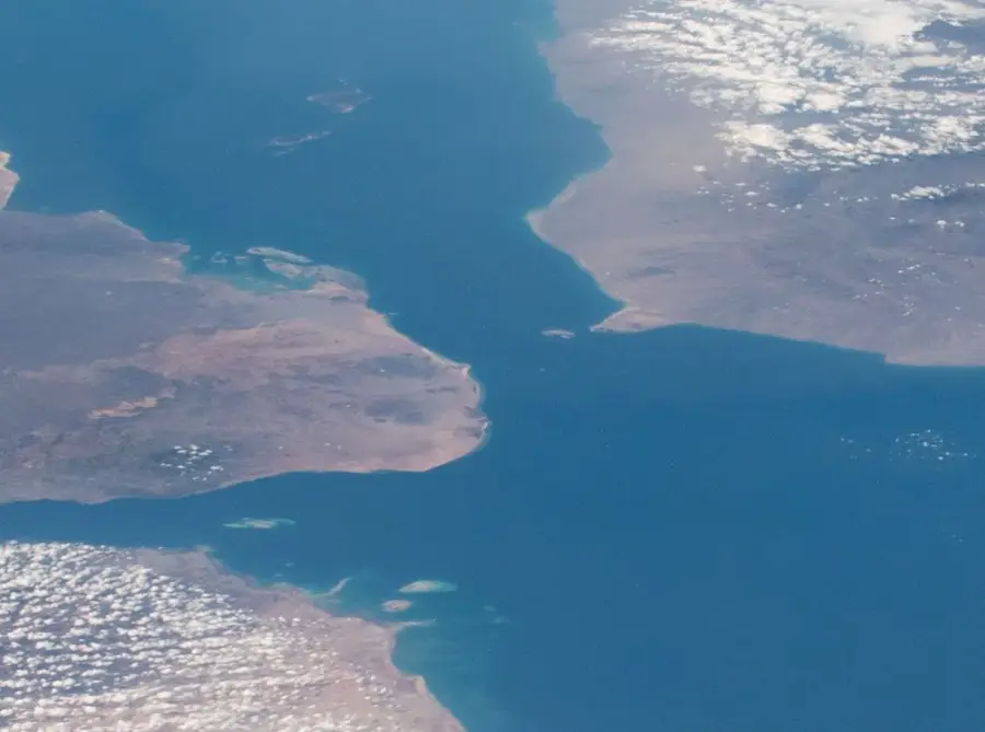
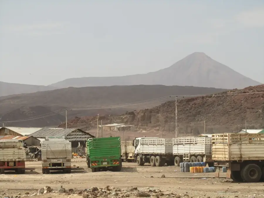
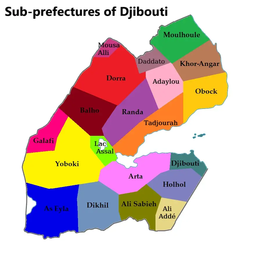
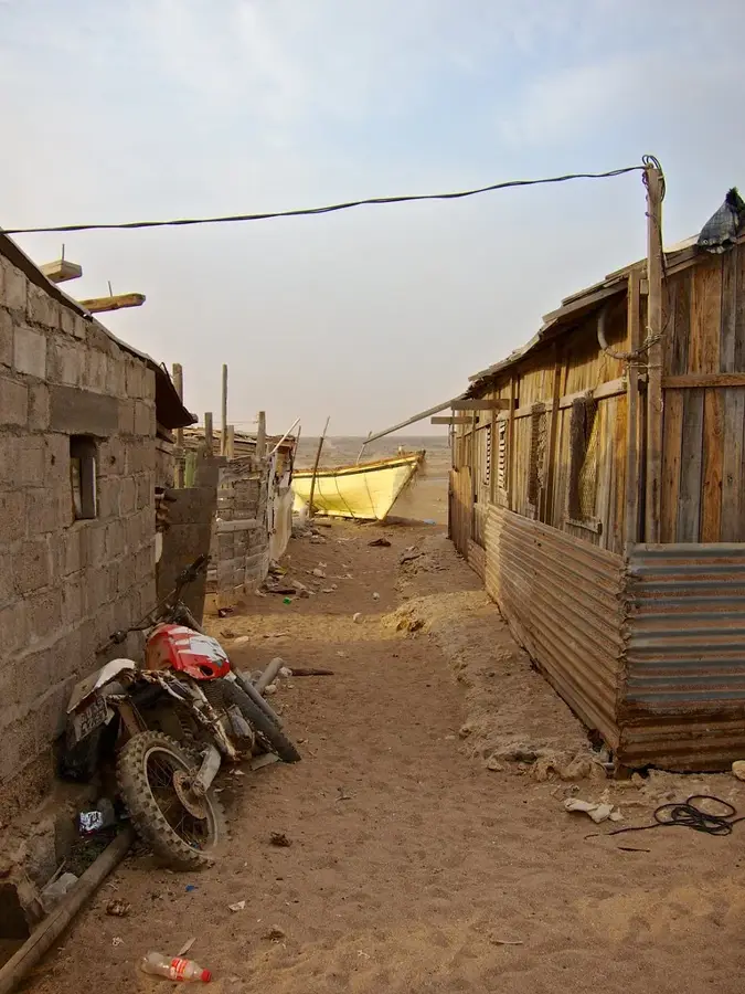
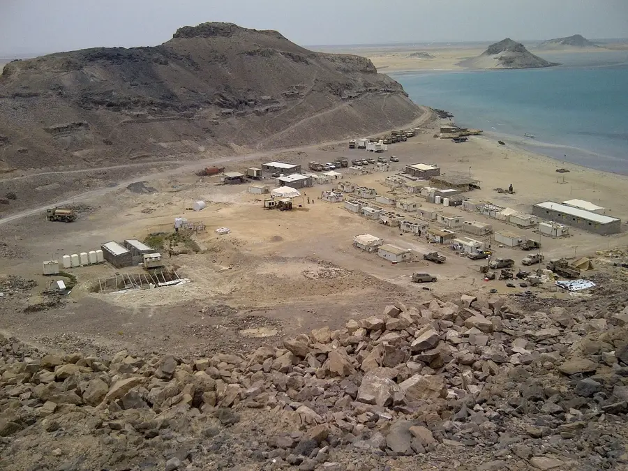
Moulhoule is a strategically significant coastal town located in the Obock Region of northeastern Djibouti, situated directly on the Bab-el-Mandeb strait. This waterway connects the Red Sea to the Gulf of Aden and is one of the world's busiest maritime shipping lanes. The town serves as a local hub for fishing and an administrative post near the border with Eritrea. Historically, the region was part of the Tadjoura Sultanate before coming under French colonial rule in the late 19th century. The geographical environment is characterized by arid coastal plains, sandy beaches, and rugged coral reefs that host a rich marine biodiversity. The local population consists primarily of the Afar people, whose livelihoods are closely tied to the sea and cross-border trade. Due to its proximity to Eritrea, Moulhoule also holds military significance for monitoring coastal borders. The climate is hot and humid, with sea breezes providing only minor relief from the intense solar radiation. Despite the harsh environmental conditions, Moulhoule remains a key node for maritime security and regional logistics.
- Location: Djibouti
- Nearby: Khor Angar (11 km)
Best time to visit & climate
The most pleasant time to visit is Jan, Feb, Dec.
| Jan | Feb | Mar | Apr | May | Jun | Jul | Aug | Sep | Oct | Nov | Dec | |
|---|---|---|---|---|---|---|---|---|---|---|---|---|
| Avg °C | 25 | 25 | 27 | 29 | 31 | 33 | 33 | 32 | 32 | 30 | 27 | 26 |
| Rain mm | 2 | 3 | 6 | 27 | 21 | 17 | 21 | 30 | 36 | 16 | 4 | 7 |
Geography
Facts
- Located on the shores of the strategic Bab-el-Mandeb strait.
- Belongs to the Obock Region in the northeast of Djibouti.
- Situated in close proximity to the border with Eritrea.
- A primary harbor for local artisanal fishing activities.
- Historically a part of the influential Tadjoura Sultanate.
- Serves as a monitoring post for international maritime traffic.
Explore nearby
Notable places around
Route planner — Car & Motorhome
Where do you start? We build the route here, with stops and country notes along the way.
© OpenStreetMap contributors · OpenRouteService
Frequently asked questions
What is Moulhoule?
Can you go diving there?
How to reach the place?
What is the main product?
Is there a gas station?
Moulhoule: where is it located?
Moulhoule: when is the best time to visit?
Moulhoule: why is it worth visiting?

Nearby cities

History & landmarks
More places