Plizio Visual Lab
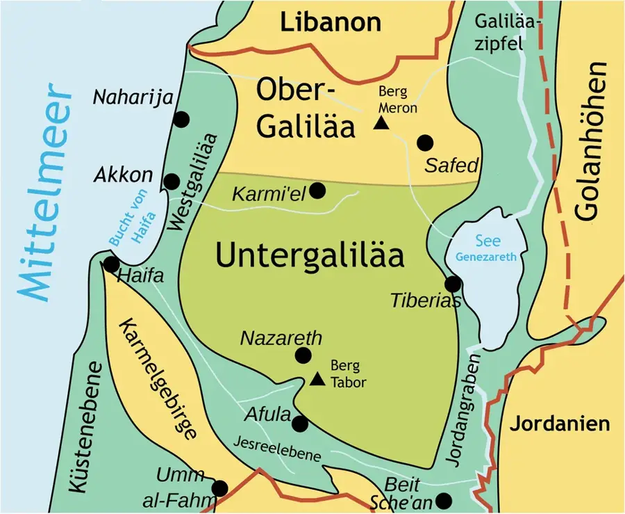
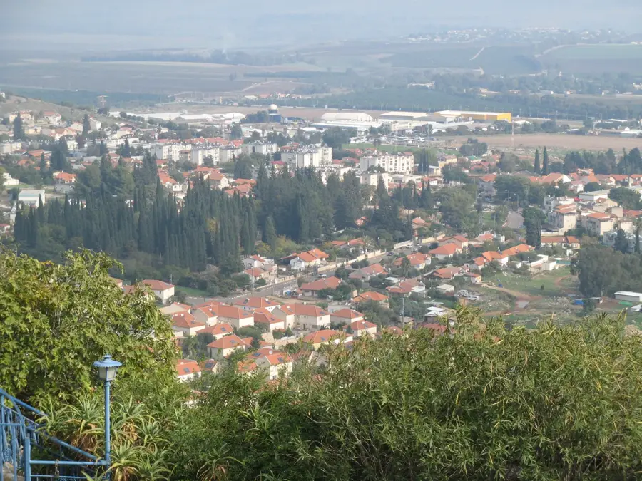
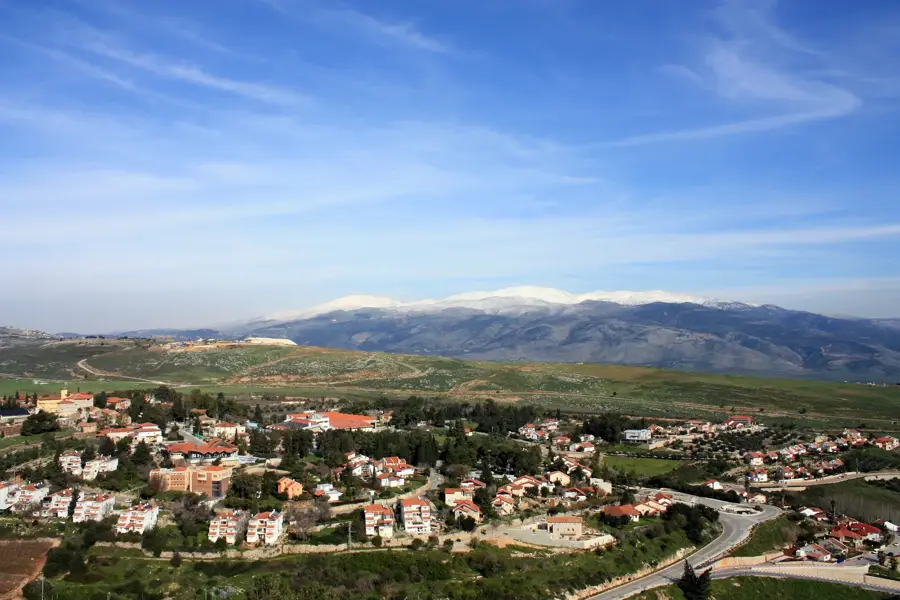
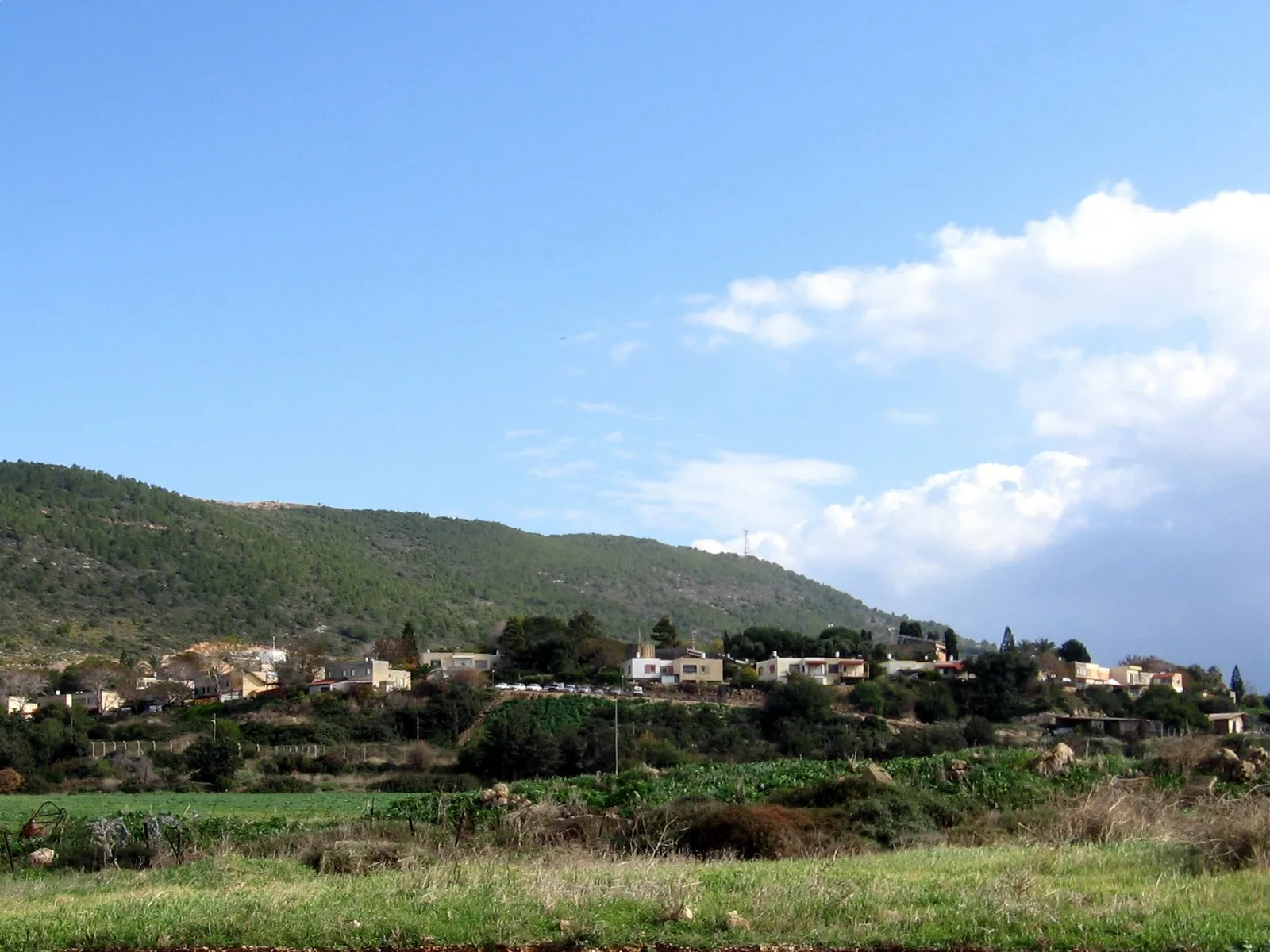
Jezreel Valley
Weather…
Water temperature…
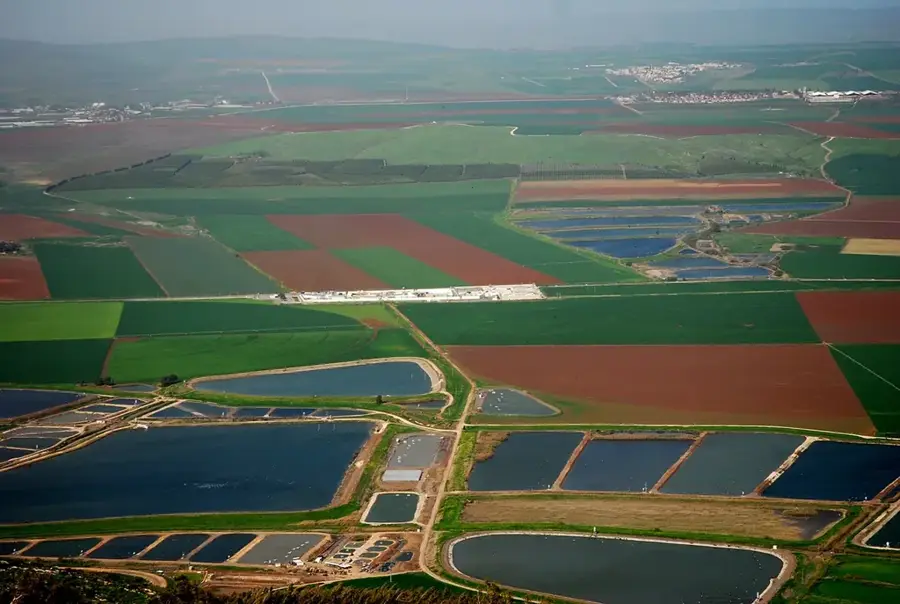
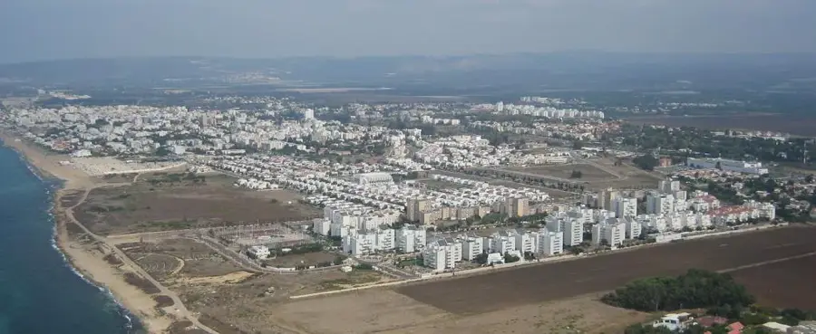
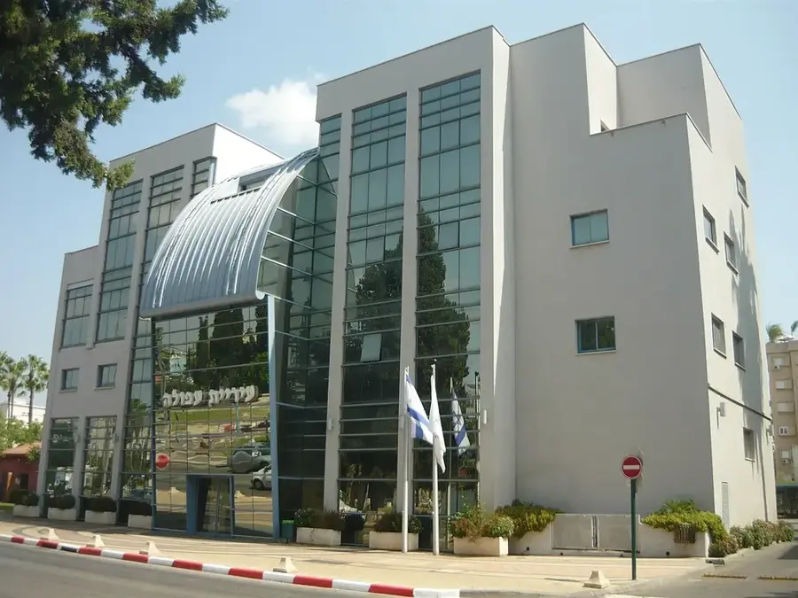
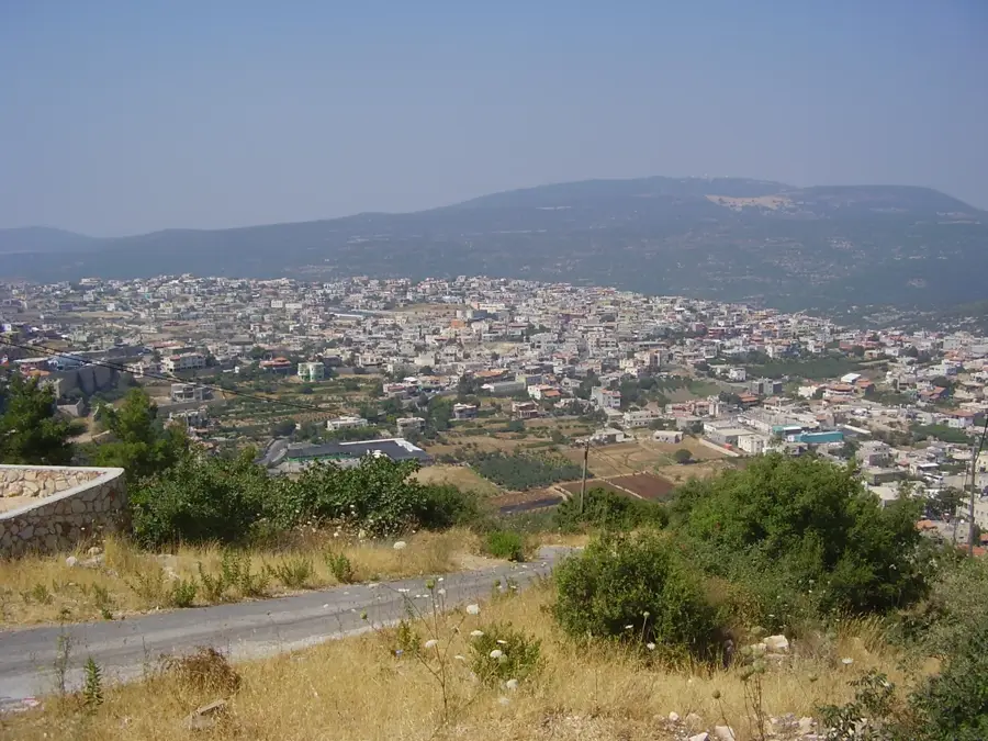
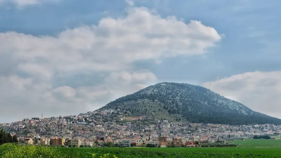
The Jezreel Valley is a large, fertile plain in northern Israel, stretching from the Mediterranean Sea to the Jordan Valley. Its geological formation is a graben, part of the Dead Sea Transform, and it lies at an elevation of about 50-100 meters below sea level in its lowest parts. The valley has been a crucial agricultural region for millennia, known for its wheat, barley, and olives. In modern times, it has become a hub for dairy farming and high-tech agriculture. The valley is also of strategic military importance, having been the site of numerous historical battles, including the famous Battle of Megiddo in 1918 during World War I. Its population density is moderate, with approximately 200,000 residents living in towns such as Afula, Migdal HaEmek, and Yokneam. The valley's unique microclimate supports a diverse ecosystem, including migratory birds that stop over in the nearby Beit She'an Valley.
- Location: Israel
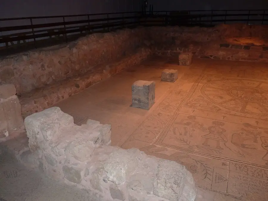
- Top sights: Ein Adashim · Hurvat Tevet · Ein Naim
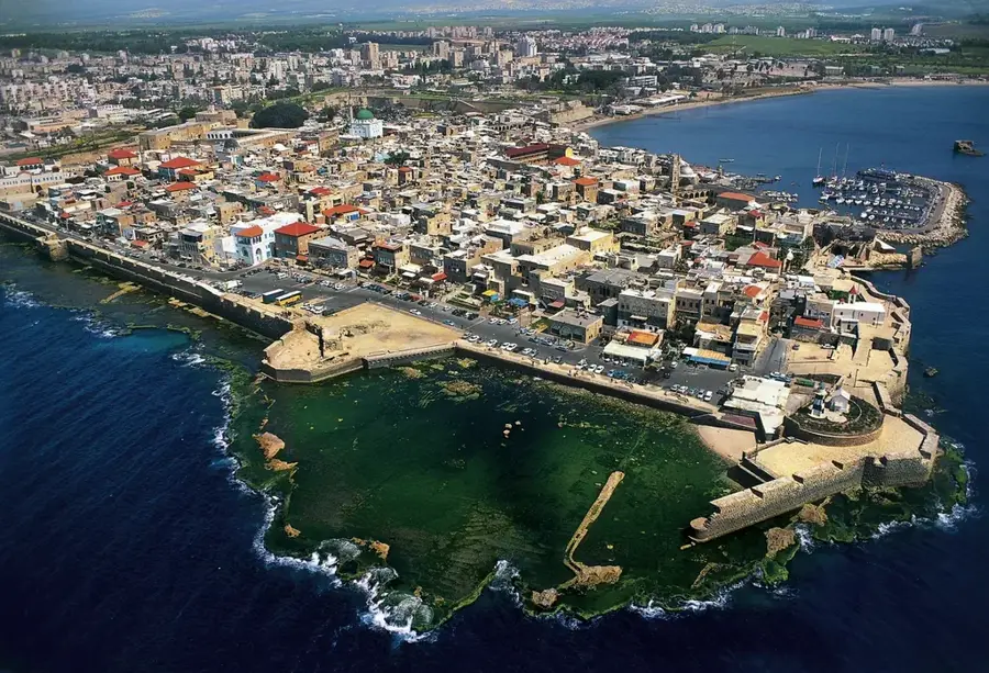
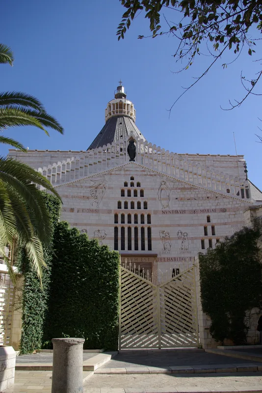
- Nearby: Nazareth (11 km)
Best time to visit & climate
The most pleasant time to visit is Apr, May, Oct.
| Jan | Feb | Mar | Apr | May | Jun | Jul | Aug | Sep | Oct | Nov | Dec | |
|---|---|---|---|---|---|---|---|---|---|---|---|---|
| Avg °C | 11 | 12 | 15 | 19 | 23 | 27 | 29 | 29 | 27 | 24 | 18 | 13 |
| Rain mm | 93 | 79 | 40 | 20 | 6 | 1 | 0 | 1 | 2 | 12 | 40 | 79 |
📋 Practical info
Geography
Facts
- The Jezreel Valley covers an area of approximately 400 km².
- Its elevation ranges from 50 m below sea level to 150 m above sea level.
- The Battle of Megiddo in 1918 involved 12,000 Allied troops.
- The valley's soil is primarily Rendzina, rich in calcium carbonate.
- Average annual temperature is 21 °C, with 450 mm of rainfall.
- The valley hosts the Jezreel Valley Regional Council, governing 26 communities.
Explore nearby
Notable places around
Route planner — Car & Motorhome
Where do you start? We build the route here, with stops and country notes along the way.
© OpenStreetMap contributors · OpenRouteService
Sights in the town Jezreel Valley (12)
Sights nearby
Frequently asked questions
Why is this valley so important for agriculture?
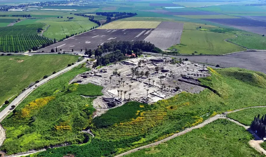
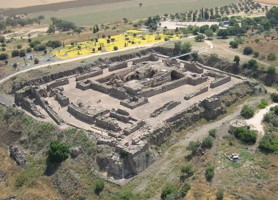
What is Tel Megiddo?
Where do you get the best view of the valley?
When is the landscape greenest?
Are there museums about Kibbutz life there?
Jezreel Valley: where is it located?
Jezreel Valley: what is there to see?
Jezreel Valley: when is the best time to visit?
Jezreel Valley: why is it worth visiting?

Nearby cities
History & landmarks
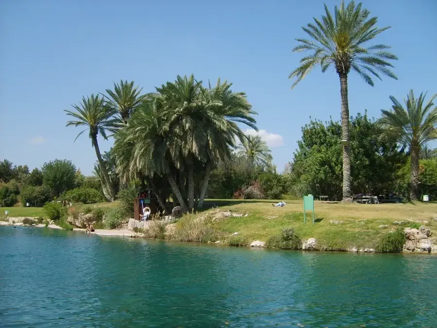
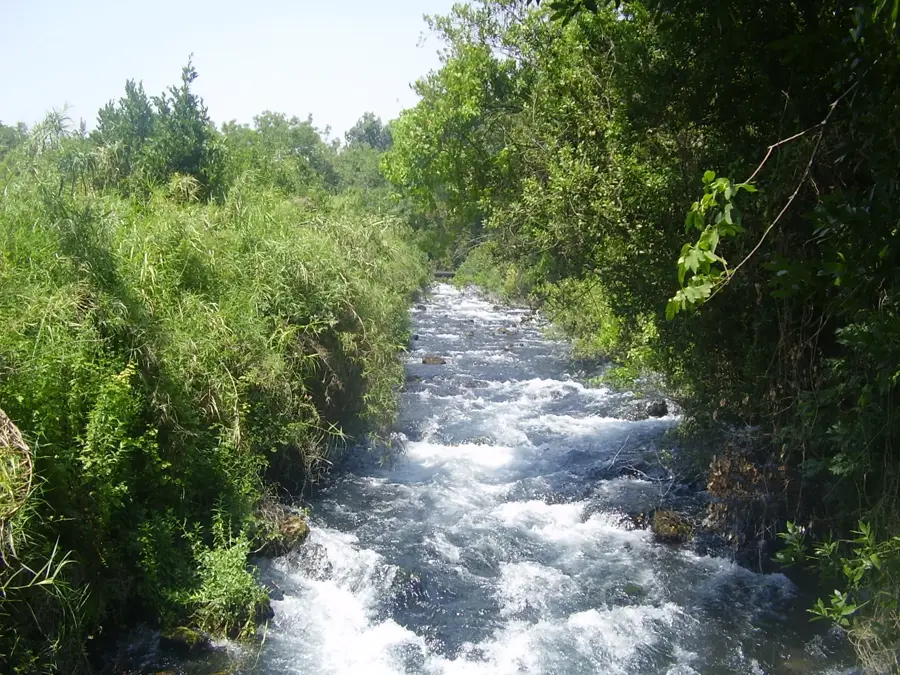
Nature
More places