Plizio Visual Lab
Horns of Hattin
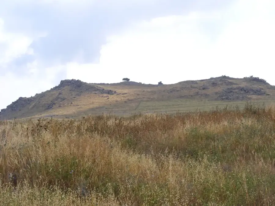
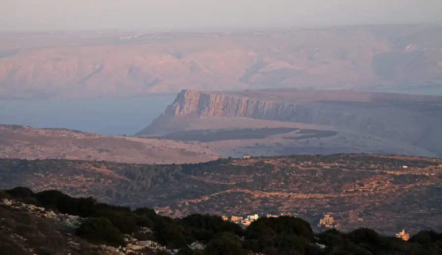
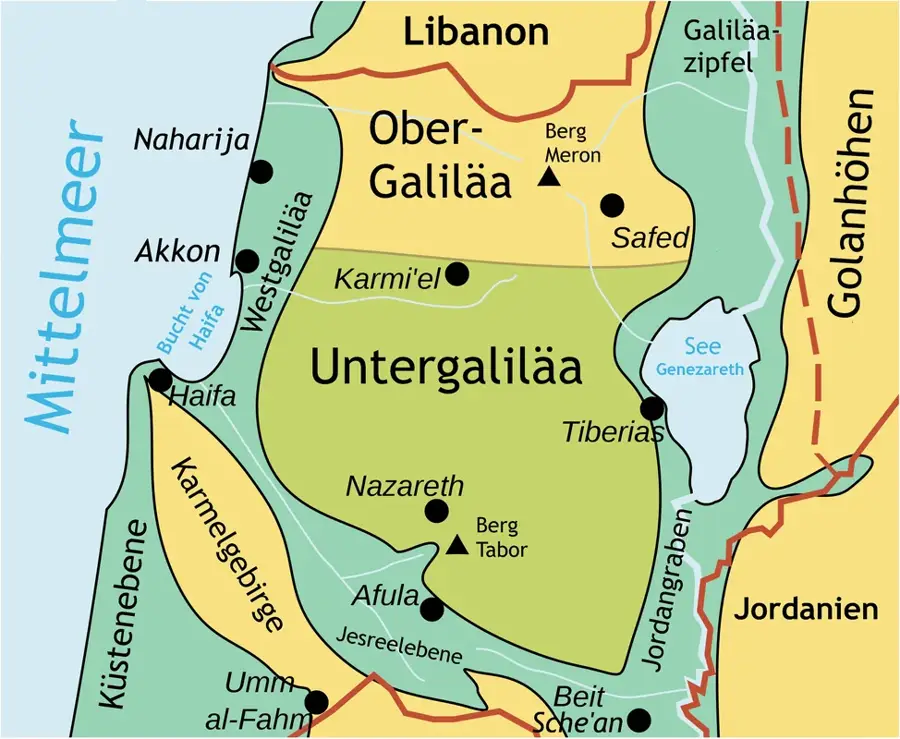
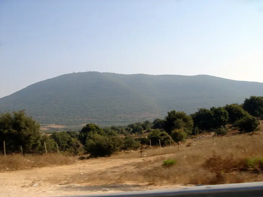
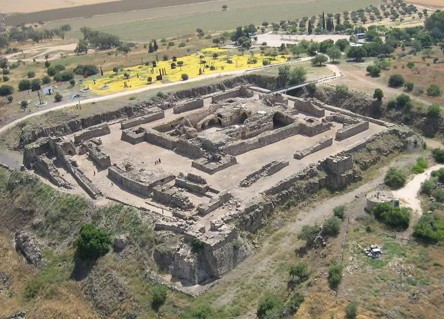
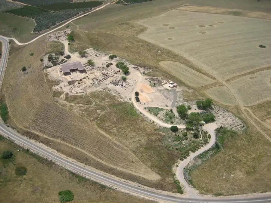
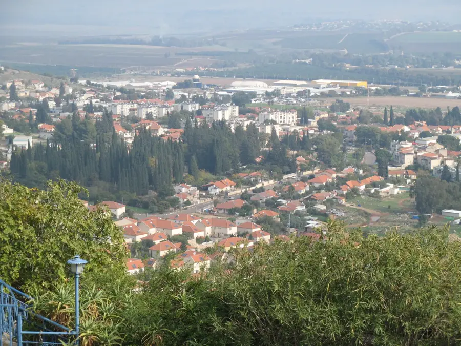
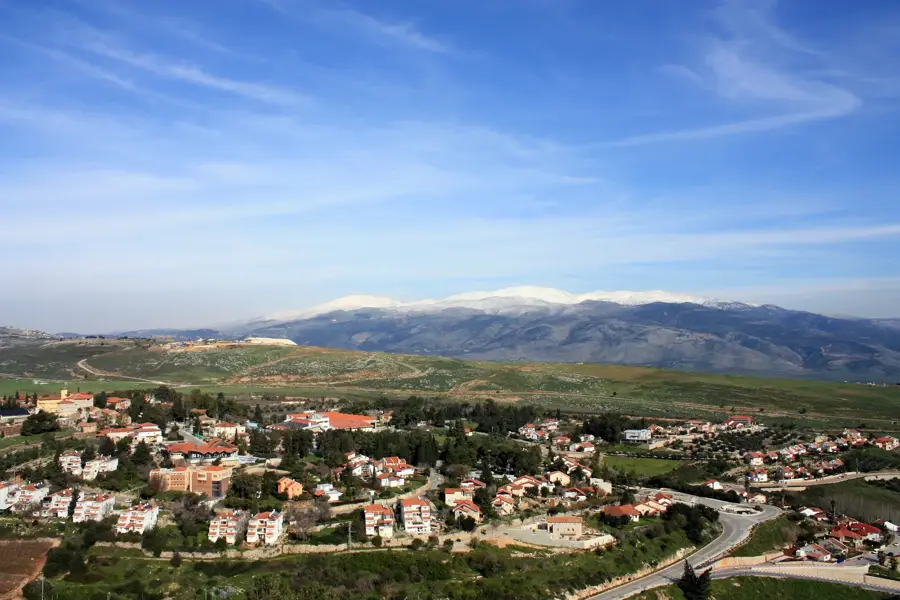
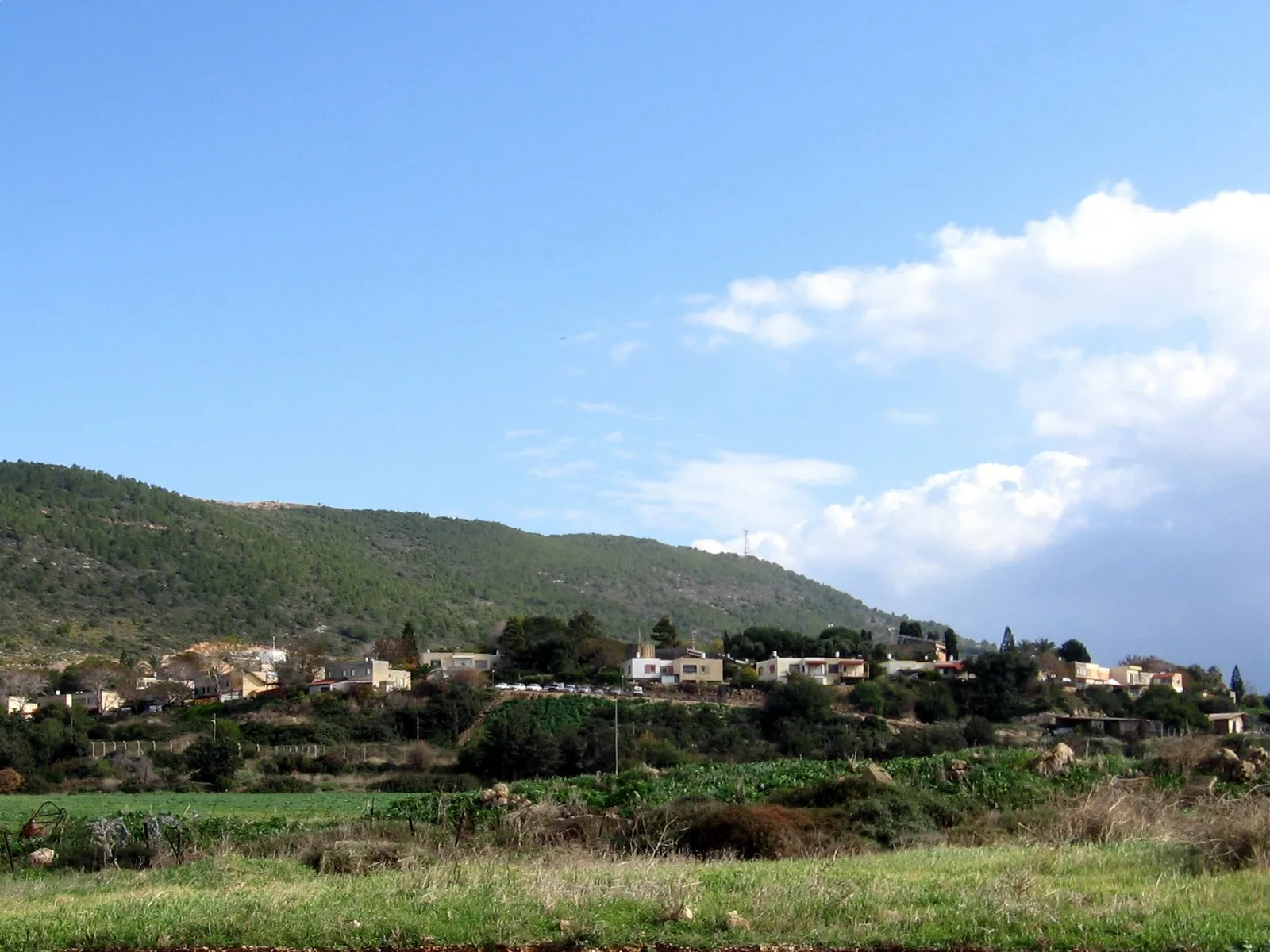
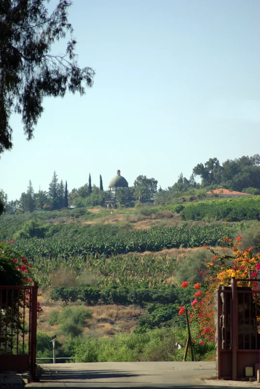
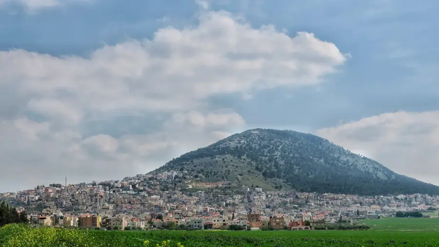
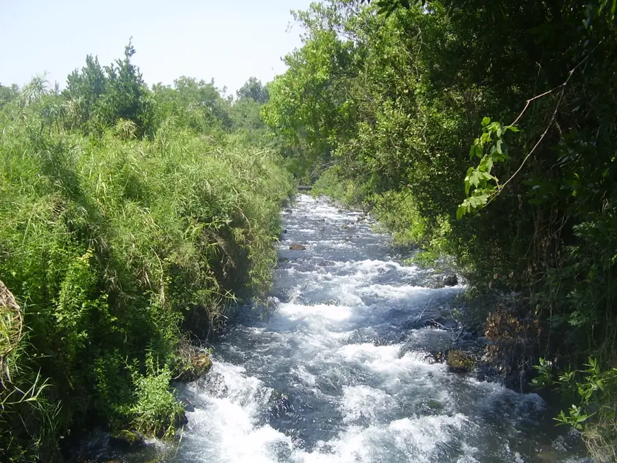
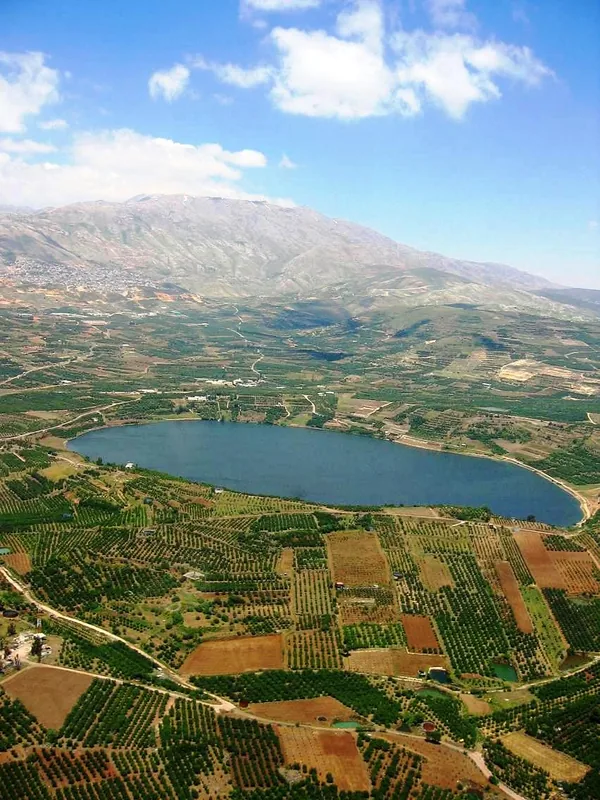
The Horns of Hattin are the twin peaks of an extinct volcano in Lower Galilee, west of Tiberias. The site gained global historical prominence as the location of the Battle of Hattin on July 4, 1187, a turning point in the Crusades. In this decisive clash, the Ayyubid army led by Sultan Saladin defeated the Crusader forces of the Kingdom of Jerusalem under King Guy of Lusignan. Deprived of water and exhausted by the summer heat, the Crusaders were surrounded and decimated by Saladin’s forces. This victory led directly to the Muslim reconquest of Jerusalem and most Crusader-held territories in the Levant. Archaeological findings on the peaks include remnants of a Bronze Age fortress and a medieval village. Today, the site is a national park, popular for its hiking trails and commanding views of the Galilee landscape, serving as a silent witness to one of history’s most significant military encounters.
- Location: Israel
- Top sights: Ein Elabon · Har HaKotz · Horvat Esad
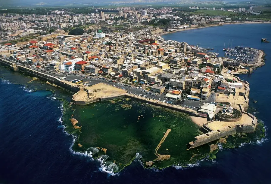
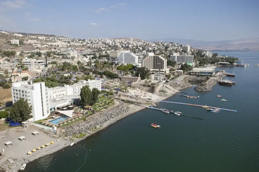
- Nearby: Tiberias (8 km)
Best time to visit & climate
The most pleasant time to visit is May, Jun, Oct.
| Jan | Feb | Mar | Apr | May | Jun | Jul | Aug | Sep | Oct | Nov | Dec | |
|---|---|---|---|---|---|---|---|---|---|---|---|---|
| Avg °C | 9 | 10 | 13 | 17 | 22 | 25 | 27 | 27 | 25 | 22 | 16 | 11 |
| Rain mm | 90 | 77 | 38 | 21 | 6 | 1 | 0 | 0 | 2 | 13 | 45 | 77 |
📋 Practical info
Geography
Facts
- The Battle of Hattin took place on July 4, 1187
- Sultan Saladin defeated the Crusader forces under Guy of Lusignan
- The site is an extinct volcano with two distinct peaks
- The victory led to the fall of Jerusalem to Saladin in 1187
- Located in Lower Galilee, overlooking the Arbel Valley
- Remains of a Bronze Age fortification were found on the slopes
Explore nearby
Notable places around
Route planner — Car & Motorhome
Where do you start? We build the route here, with stops and country notes along the way.
© OpenStreetMap contributors · OpenRouteService
Sights in the town Horns of Hattin (10)
Sights nearby
Frequently asked questions
What happened at the Horns of Hattin?
Is it a hike?
What equipment do I need?
When is the best time?
Are there signposts?
Horns of Hattin: where is it located?
Horns of Hattin: what is there to see?
Horns of Hattin: when is the best time to visit?
Horns of Hattin: why is it worth visiting?

Nearby cities
History & landmarks
Nature
More places