Plizio Visual Lab
Beit Netofa Valley
Weather…
Water temperature…
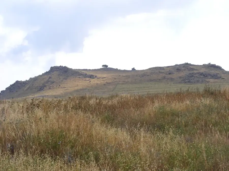
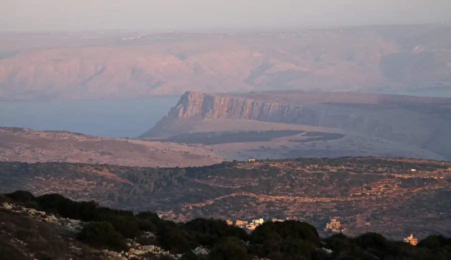
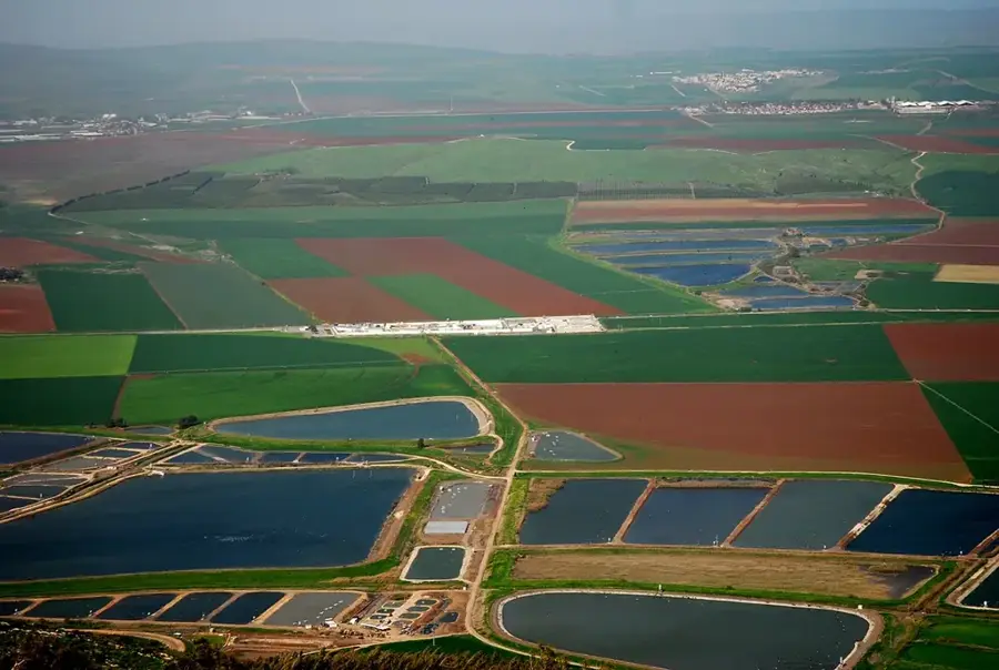
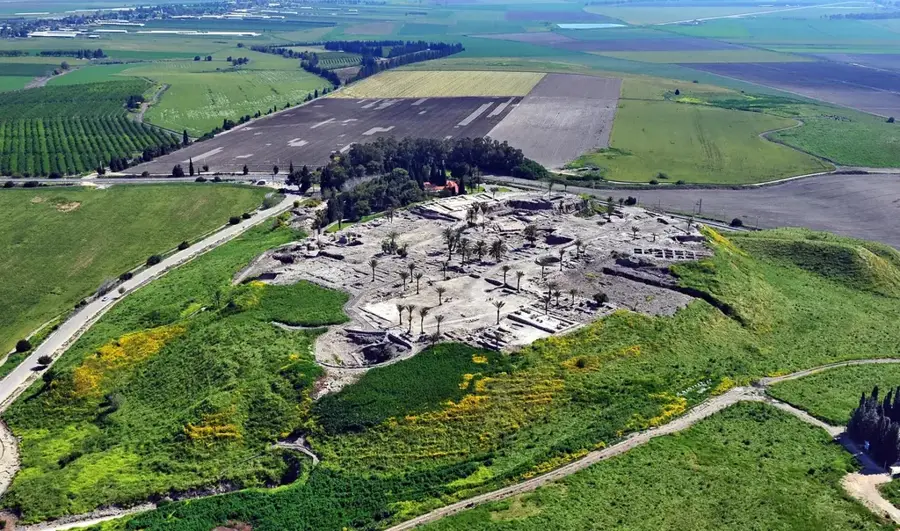
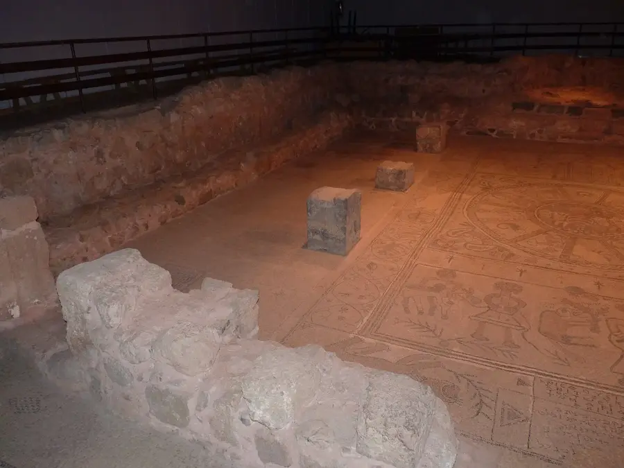
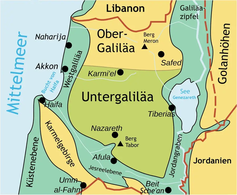
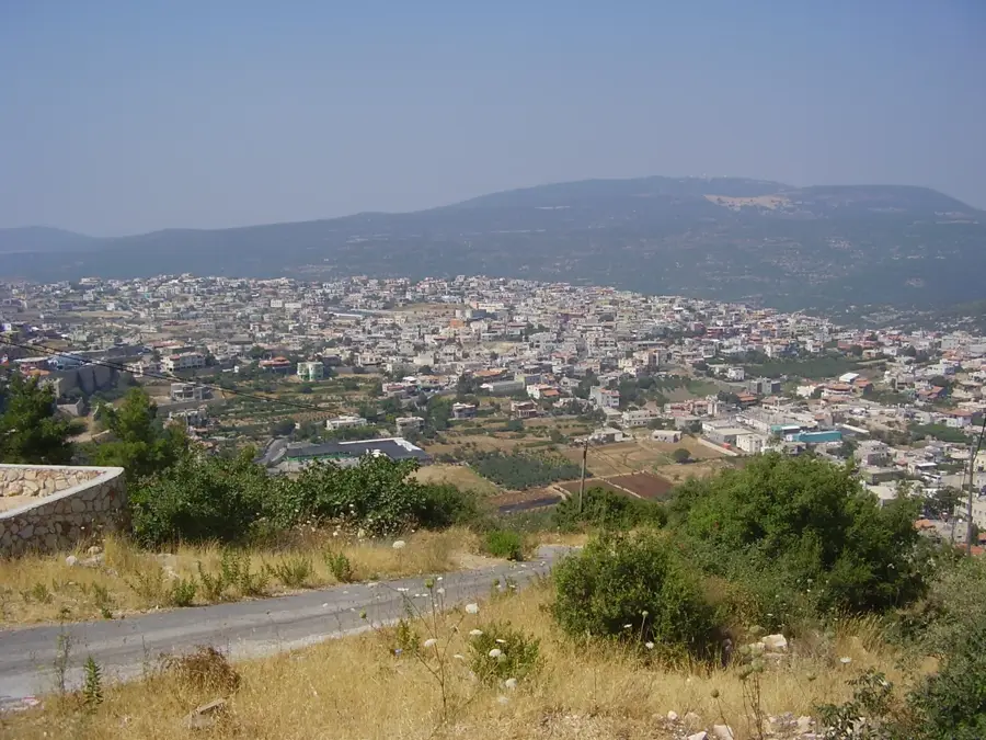
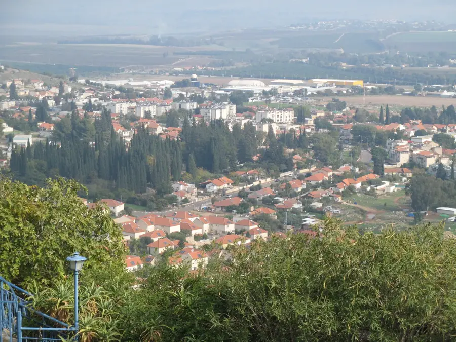
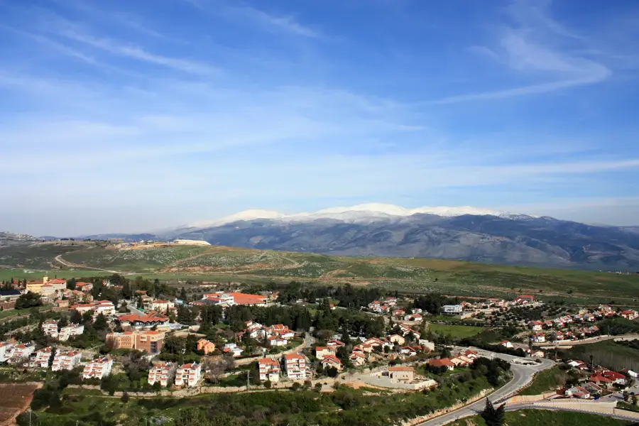
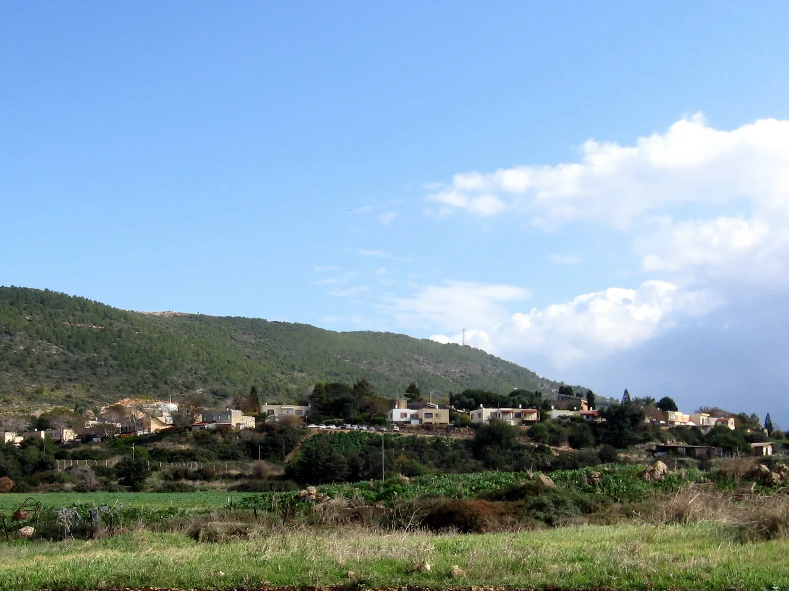
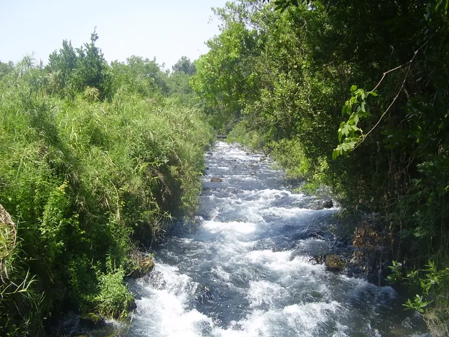
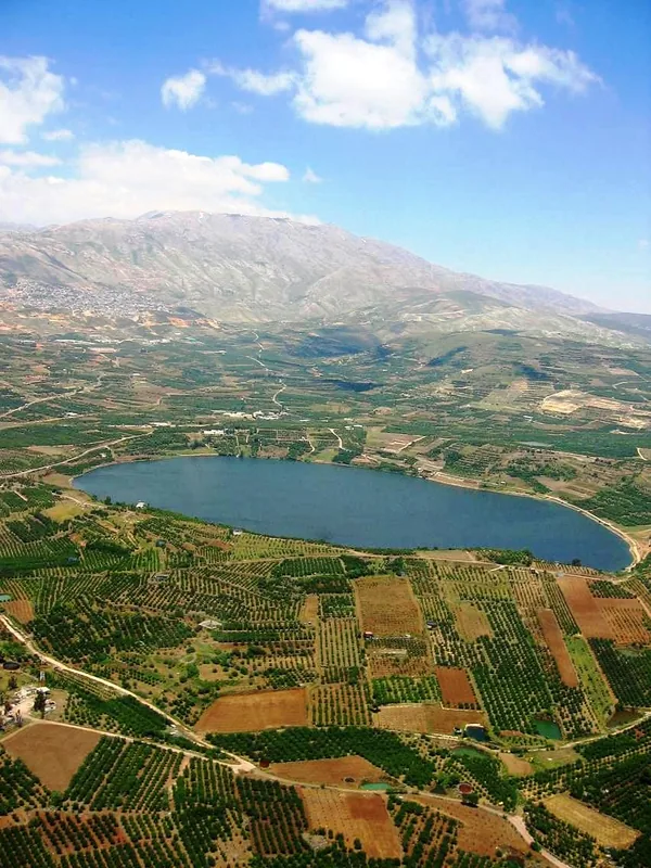
The Beit Netofa Valley is the largest and most prominent valley in the Lower Galilee, spanning approximately 16 kilometers in length and 5 kilometers in width. It lies tucked away between the Yodfat ridge to the north and the Turan range to the south, creating a vast, flat agricultural expanse. The valley is renowned for its extremely fertile but heavy clay soil, which has been cultivated for millennia, producing a variety of grains and vegetables. Strategically, the valley plays a crucial role in Israel's modern infrastructure as it hosts the main open-air canal of the National Water Carrier (HaMovil HaArtzi), which transports water from the Sea of Galilee to the arid south. During rainy winters, the valley often experiences natural flooding, forming temporary lakes due to the soil's slow absorption rate, a striking phenomenon in the Galillean landscape. Historically, the area is surrounded by significant ancient sites, including the fortified city of Yodfat and nearby Sepphoris, reflecting the rich Jewish and Roman history of the region. Today, Beit Netofa remains an idyllic rural area, offering expansive views and a network of trails for hikers and mountain bikers exploring the heart of the Galilee.
- Location: Israel
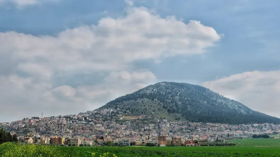
- Top sights: Tel Hanaton · Tel Yodfat · lavra netofa
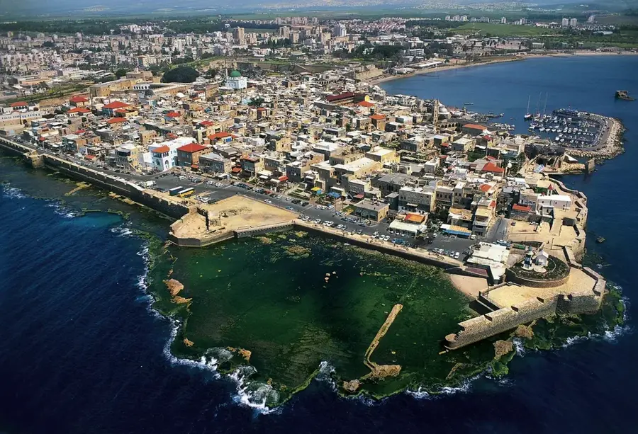
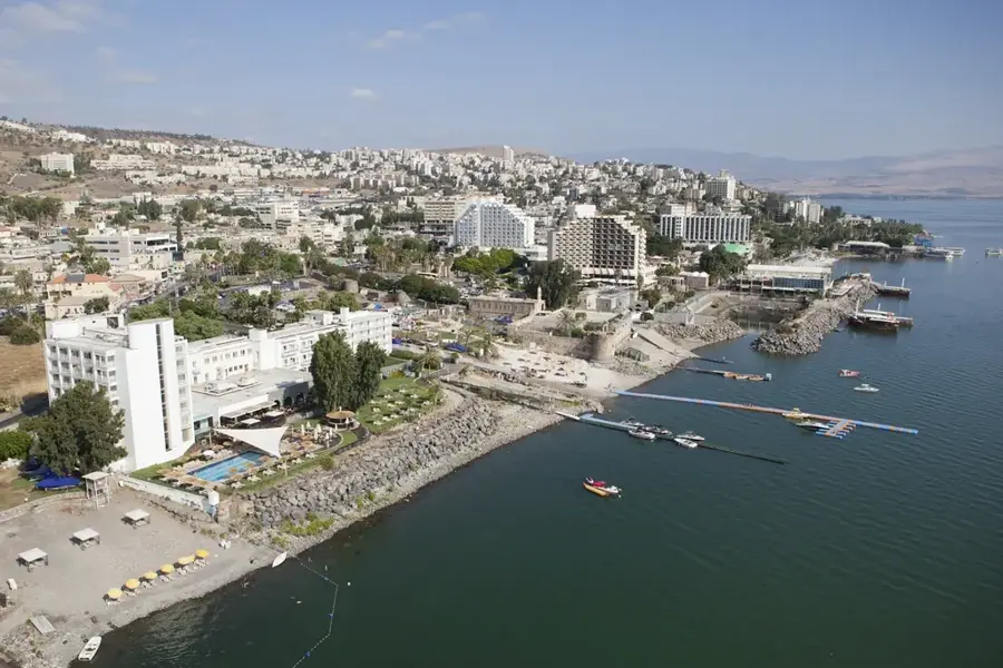
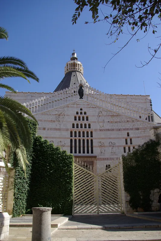
- Nearby: Nazareth (10 km)
Best time to visit & climate
The most pleasant time to visit is May, Jun, Oct.
| Jan | Feb | Mar | Apr | May | Jun | Jul | Aug | Sep | Oct | Nov | Dec | |
|---|---|---|---|---|---|---|---|---|---|---|---|---|
| Avg °C | 9 | 10 | 13 | 17 | 22 | 25 | 27 | 27 | 25 | 22 | 16 | 11 |
| Rain mm | 90 | 77 | 38 | 21 | 6 | 1 | 0 | 0 | 2 | 13 | 45 | 77 |
📋 Practical info
Geography
Facts
- The valley is 16 km long and is the largest internal valley in the Galilee.
- The National Water Carrier canal here is part of the largest water project in Israel.
- Winter floods can turn the valley into a temporary wetland for several weeks.
- Archaeological finds in the area date back to the Bronze and Iron Ages.
- The valley is bordered by the Arab town of Arraba and the Jewish village of Mitzpe Netofa.
- The heavy soil is known locally as 'grumusol' or vertisol.
Explore nearby
Notable places around
Route planner — Car & Motorhome
Where do you start? We build the route here, with stops and country notes along the way.
© OpenStreetMap contributors · OpenRouteService
Sights in the town Beit Netofa Valley (10)
Sights nearby
Frequently asked questions
Where is the Beit Netofa Valley located?
What is the most significant structure in the valley?
Can you go hiking there?
When does the valley look most beautiful?
What crops are grown there?
Beit Netofa Valley: where is it located?
Beit Netofa Valley: what is there to see?
Beit Netofa Valley: when is the best time to visit?
Beit Netofa Valley: why is it worth visiting?

Nearby cities
History & landmarks
Nature
More places