Plizio Visual Lab
Nahariya
ℹ️Practical info — Nahariya
▾
🌤 Weather — 5 days
📍 Nearby
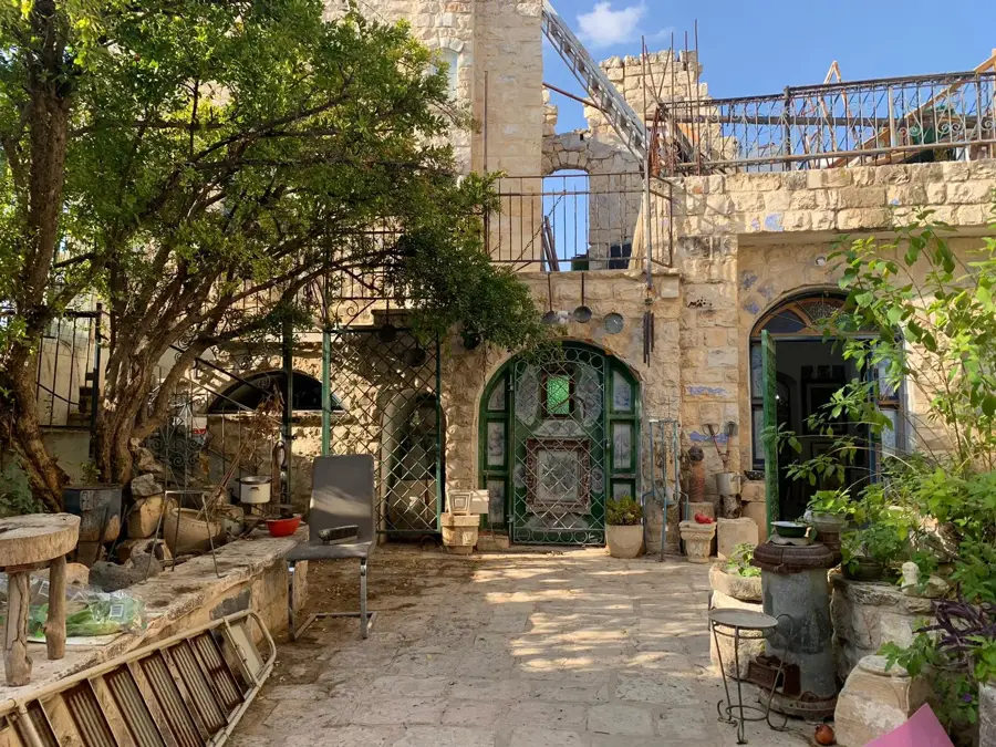
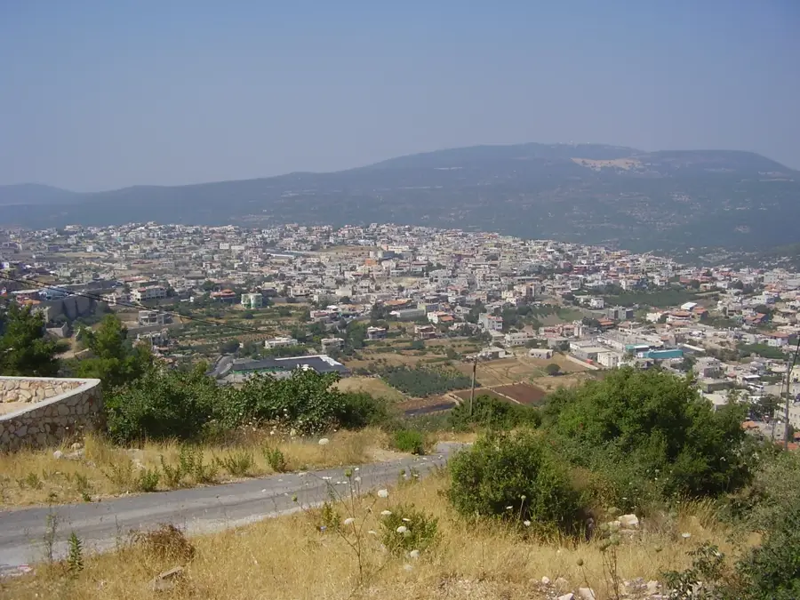
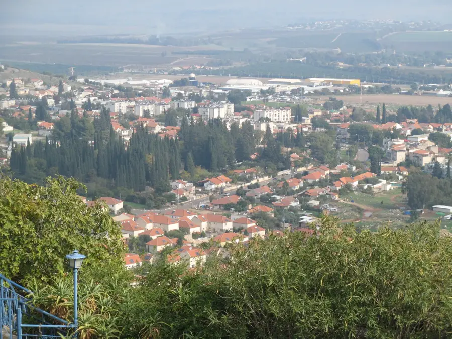
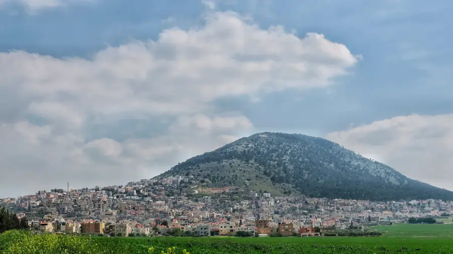
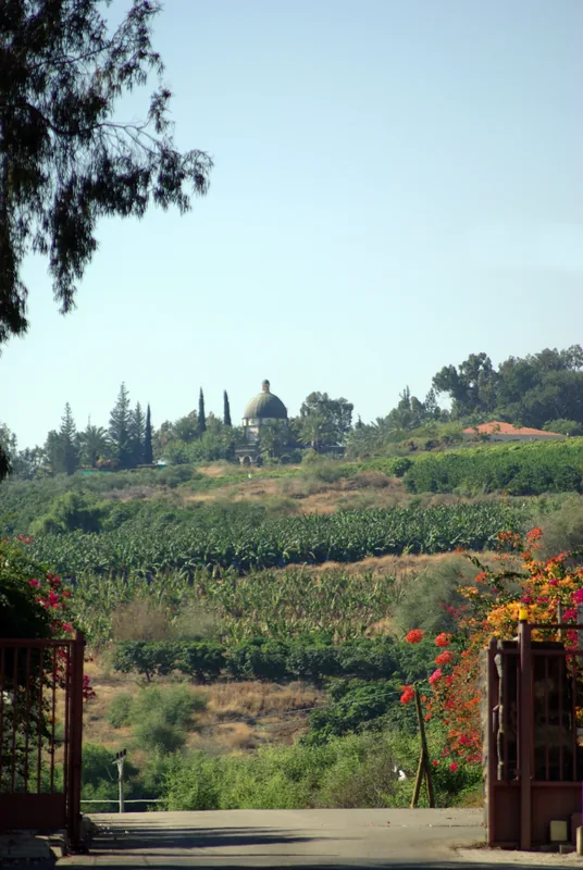
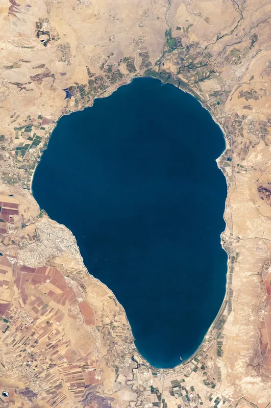
Sights nearby
💡 Tips
- Ga'aton Boulevard is the heart of the city; a small river runs through the middle of this street.
- The beaches are completely free, but lifeguards are only on duty during the official bathing season.
- A great base for exploring Rosh Hanikra, which is easily accessible by a short bus ride or bike.
- Watch out for bicycles and electric scooters on the seaside promenade.
🍽 Food
Enjoy fresh catches at the restaurants located directly on the seaside promenade.
A classic Israeli beach meal, readily available at the cafes along Ga'aton Boulevard.
Grab a scoop of artisanal ice cream while strolling near the beach at sunset.
🛍 Shopping · 🧘 Quiet spots
The street is filled with clothing stores, souvenirs, and beach gear.
A modern shopping center at the city's entrance with air conditioning and brand names.
Walk north past the main beaches for a quieter stretch of coastline and crashing waves.
A small but tranquil garden near the zoo, first-rate for a quiet afternoon break.
Water temperature…
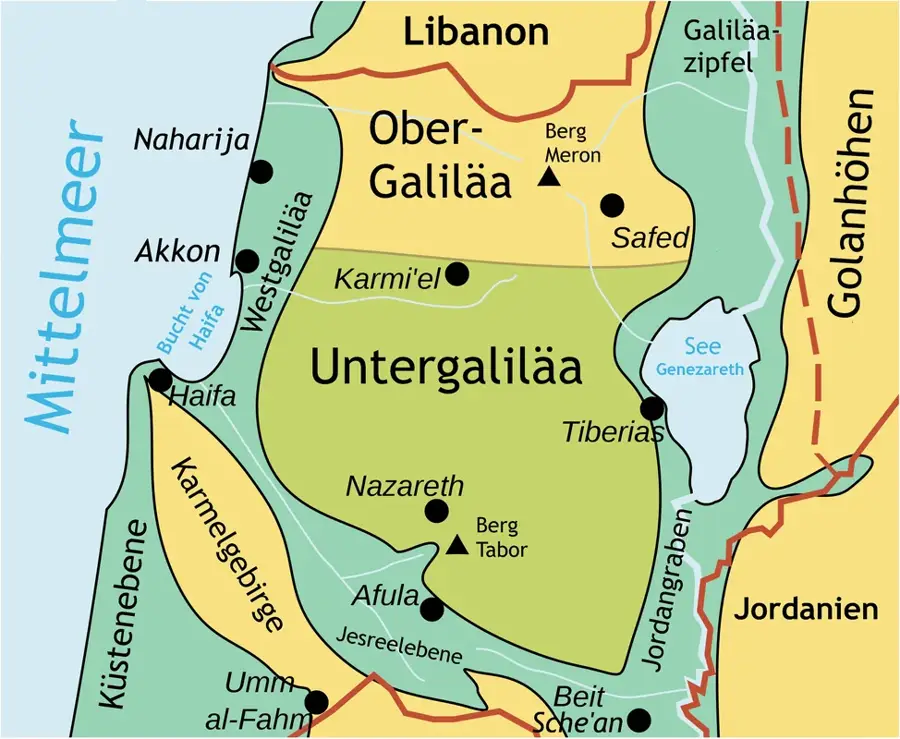
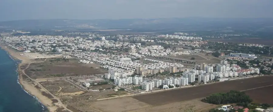
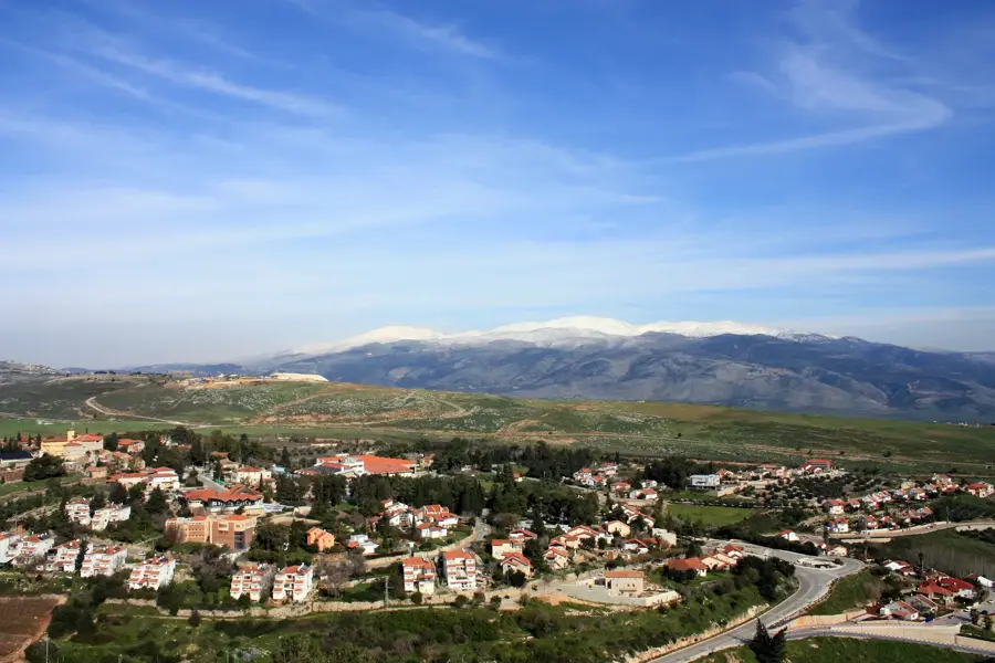
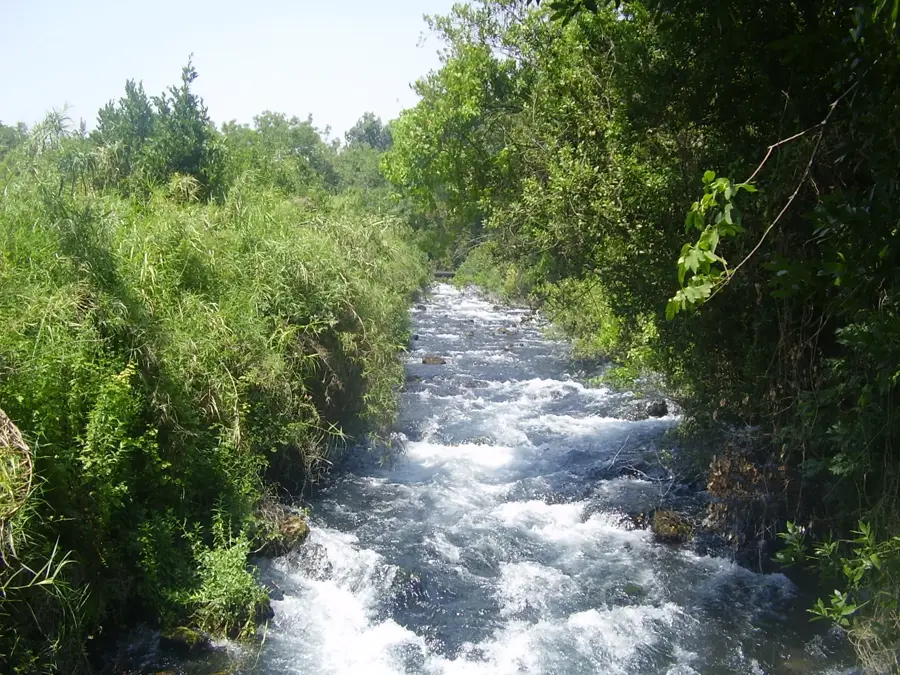
Nahariya is Israel's northernmost coastal city, located in Western Galilee just 10 kilometers south of the Lebanese border. It was established in 1934 by German Jewish immigrants fleeing the rise of the Nazi regime, who initially envisioned a small-scale agricultural settlement. A unique geographic feature of the city is the Ga'aton River, which flows directly through the median of the main street, Ga'aton Boulevard, occasionally flooding spectacularly during winter rains. From its agrarian roots, Nahariya has grown into a major tourism destination and industrial center, hosting prominent companies like the Strauss Group. The city is famous for its long sandy beaches, a spirited seaside promenade, and its proximity to the impressive Achziv National Park. Despite its border location, Nahariya is known for its relaxed pace of life and high standard of municipal services. The local architecture showcases a transition from European-style planning to modern Mediterranean urbanism. It remains a key administrative and medical hub for the Western Galilee district.
- Location: Israel
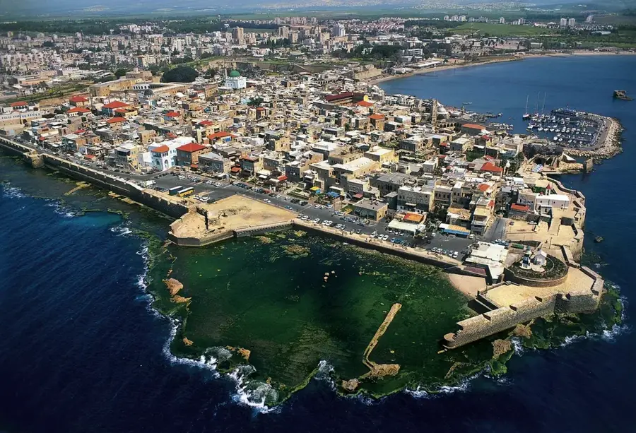
- Nearby: Rosh HaNikra (7 km)
- Population: ~58.096 (2024)
Best time to visit & climate
The most pleasant time to visit is May, Jun, Oct.
| Jan | Feb | Mar | Apr | May | Jun | Jul | Aug | Sep | Oct | Nov | Dec | |
|---|---|---|---|---|---|---|---|---|---|---|---|---|
| Avg °C | 14 | 14 | 16 | 18 | 21 | 24 | 26 | 27 | 26 | 24 | 20 | 16 |
| Rain mm | 130 | 103 | 59 | 29 | 12 | 5 | 3 | 2 | 5 | 28 | 67 | 115 |
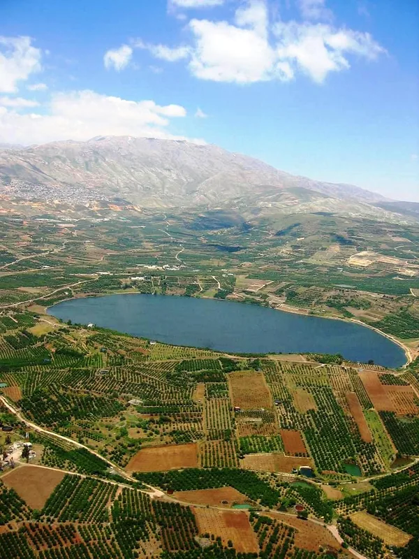
Geography
Facts
- Israel's northernmost coastal city with a population of roughly 60,000.
- The city's name is derived from the Hebrew word 'Nahar', meaning river.
- Established in 1934 as an agricultural cooperative by German Jewish refugees.
- The Ga'aton River is a rare urban river that runs through the center of the main boulevard.
- Home to the Galilee Medical Center, the primary healthcare facility for the region.
- Stands as the pioneering Jewish settlement of the Western Galilee in modern times.
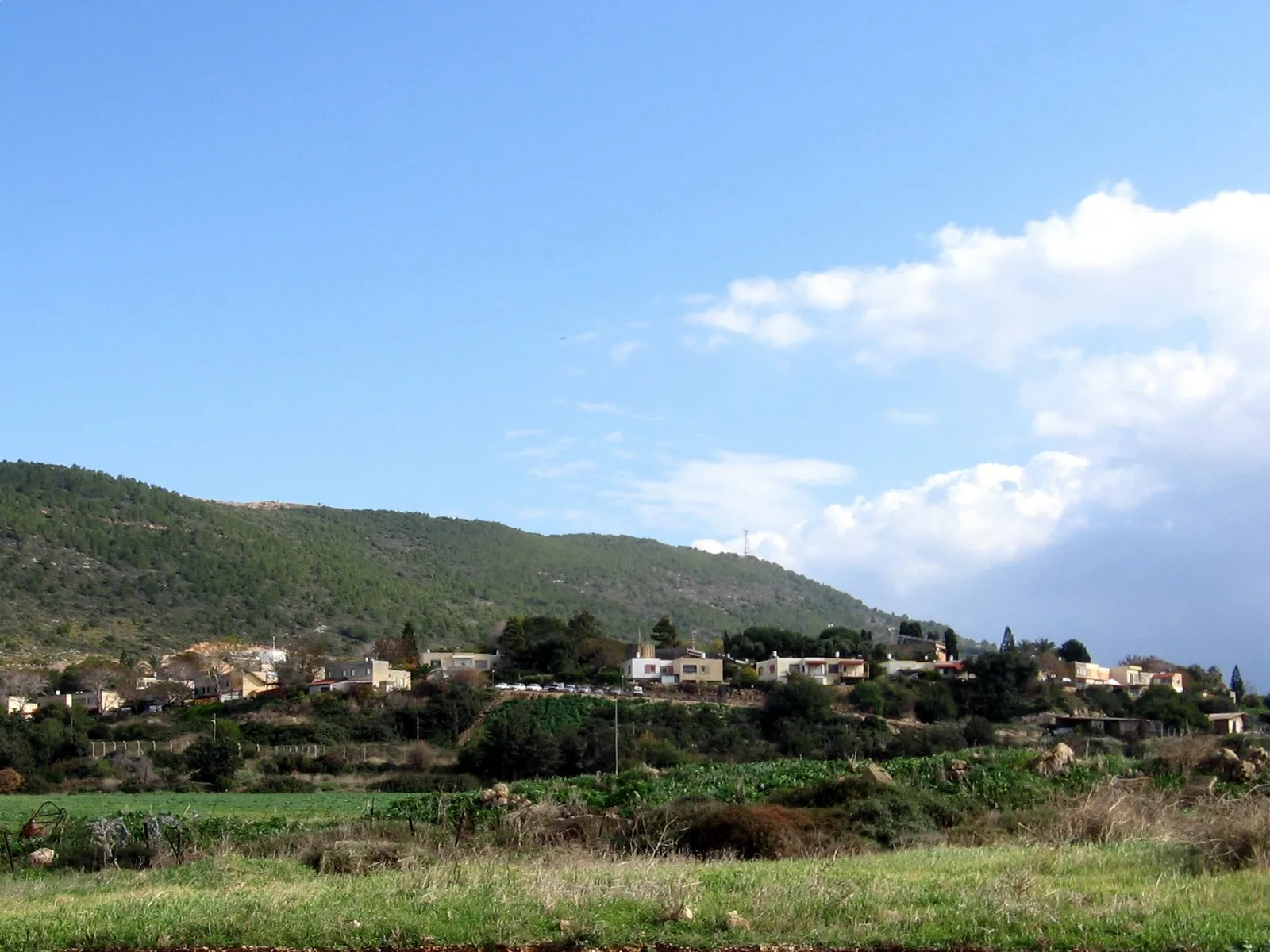
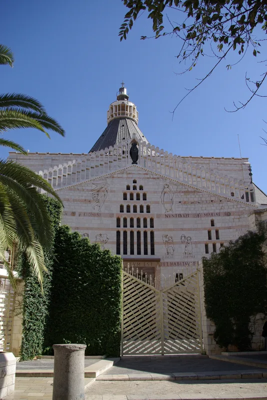
Explore nearby
Notable places around
Route planner — Car & Motorhome
Where do you start? We build the route here, with stops and country notes along the way.
© OpenStreetMap contributors · OpenRouteService
Sights in the town Nahariya (1)
Frequently asked questions
Is Nahariya a beach resort?
What is the main street?
What can you visit nearby?
Is there a train station?
When is the best time for a beach holiday?
Nahariya: where is it located?
Nahariya: when is the best time to visit?
Nahariya: why is it worth visiting?

Nearby cities
History & landmarks
Nature
More places